Burton in Lonsdale
Civil Parish in Yorkshire Craven
England
Burton in Lonsdale
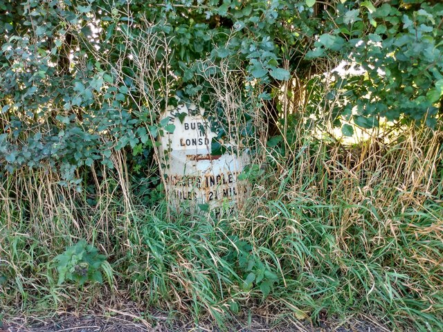
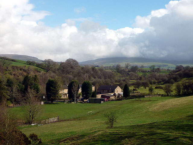
Burton in Lonsdale is a small civil parish located in the Craven district of North Yorkshire, England. Situated in the beautiful Lune Valley, it lies approximately 12 miles north of Lancaster and 5 miles east of Ingleton. The parish is made up of the village of Burton in Lonsdale, along with surrounding farmland and countryside.
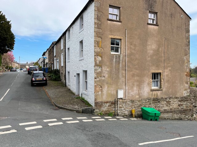
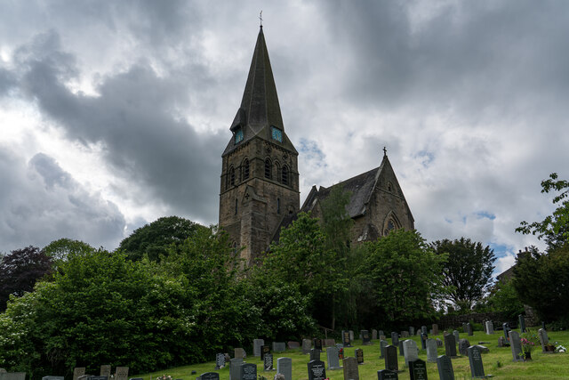
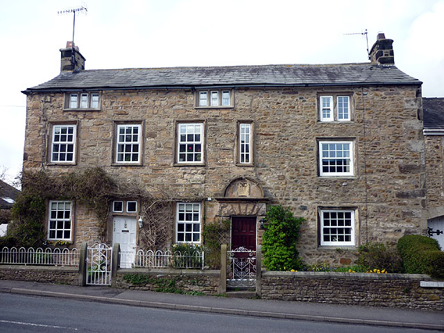
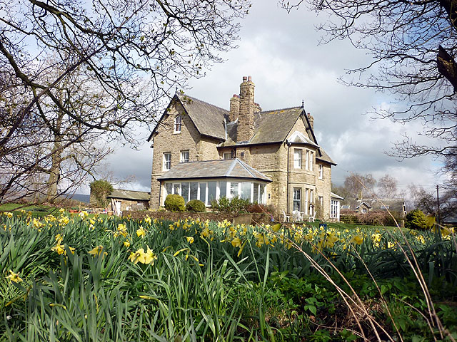
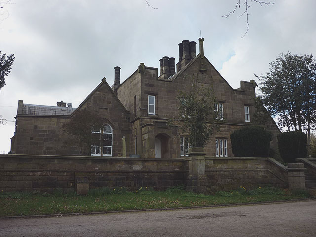
The village itself is quaint and picturesque, with a population of around 400 residents. It is known for its charming stone-built cottages and traditional village green, which is often used for community events and gatherings. The parish also boasts a lovely 12th-century church, St. John the Evangelist, which is a prominent feature of the local landscape.
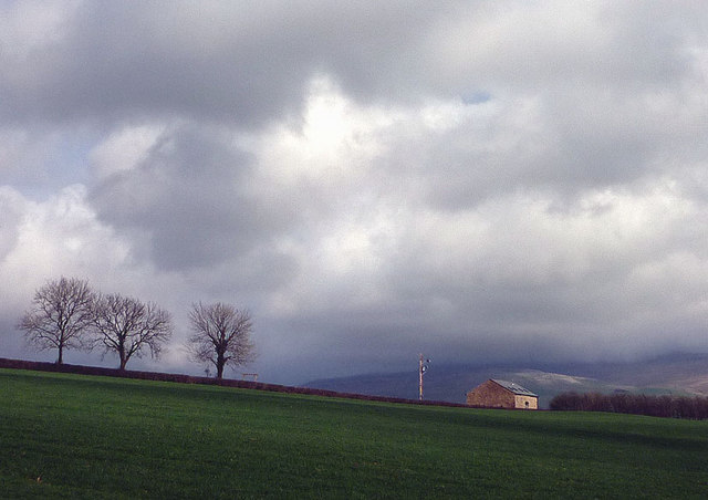
The surrounding countryside offers stunning views of the Yorkshire Dales and the nearby River Lune, making it a popular destination for hikers, cyclists, and nature enthusiasts. The area is known for its network of footpaths and bridleways, providing ample opportunities for outdoor exploration.
While Burton in Lonsdale is primarily a residential area, it does have a few amenities to cater to the local community, including a pub, a village hall, and a primary school. For additional services and amenities, residents can easily access nearby towns such as Ingleton or Kirkby Lonsdale.
Overall, Burton in Lonsdale is a tranquil and idyllic rural parish, offering a peaceful lifestyle and a close-knit community for its residents to enjoy.
If you have any feedback on the listing, please let us know in the comments section below.
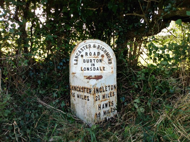
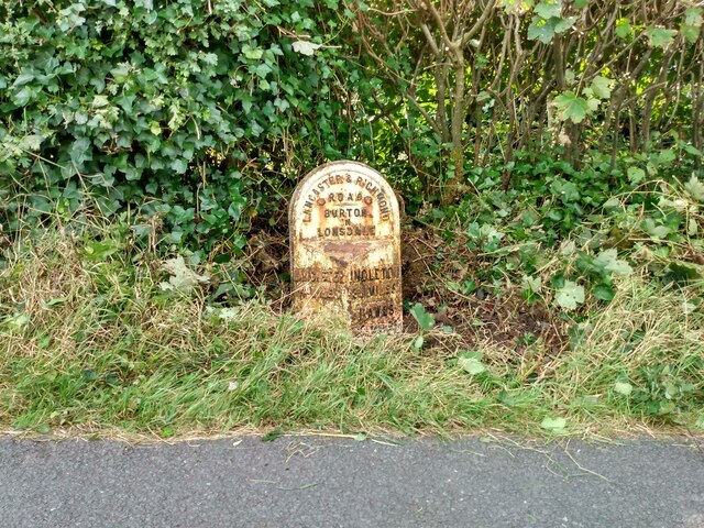
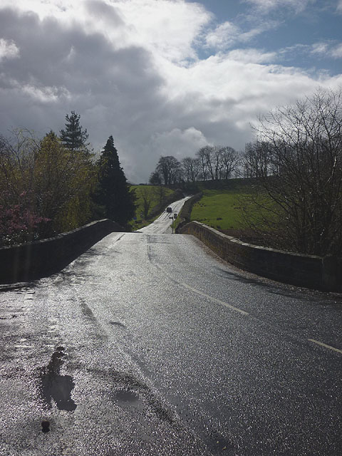
Burton in Lonsdale Images
Images are sourced within 2km of 54.149193/-2.528526 or Grid Reference SD6572. Thanks to Geograph Open Source API. All images are credited.


Burton in Lonsdale is located at Grid Ref: SD6572 (Lat: 54.149193, Lng: -2.528526)
Division: West Riding
Administrative County: North Yorkshire
District: Craven
Police Authority: North Yorkshire
What 3 Words
///turned.autumn.elections. Near High Bentham, North Yorkshire
Nearby Locations
Related Wikis

Burton in Lonsdale
Burton in Lonsdale is a village and civil parish in the Craven District of North Yorkshire, England, close to the border with Lancashire and Cumbria....

All Saints Church, Burton in Lonsdale
All Saints Church is in the village of Burton in Lonsdale, North Yorkshire, England. It is an active Anglican parish church in the deanery of Ewecross...

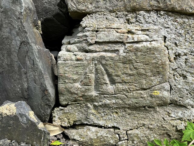
Burton in Lonsdale Castle
Burton in Lonsdale Castle was in the village of Burton in Lonsdale in North Yorkshire, England (grid reference SD649721). The Pipe Rolls for the reign...

Ireby, Lancashire
Ireby is a small hamlet and civil parish on the edge of Lancashire, England, bordering North Yorkshire. It lies in the City of Lancaster, just inside the...
Nearby Amenities
Located within 500m of 54.149193,-2.528526Have you been to Burton in Lonsdale?
Leave your review of Burton in Lonsdale below (or comments, questions and feedback).