Burton Hastings

Civil Parish in Warwickshire Rugby

England

Burton Hastings

Farmland near Wolvey Heath
Farmland near Wolvey Heath Credit: Mat Fascione

Burton Hastings is a civil parish located in the county of Warwickshire, England. Situated approximately 6 miles east of the town of Hinckley, it covers an area of around 5.5 square miles. The parish is part of the borough of Rugby and falls under the jurisdiction of the Rugby Borough Council.

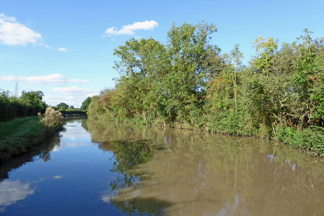
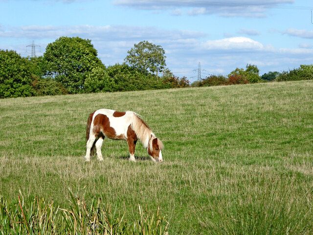
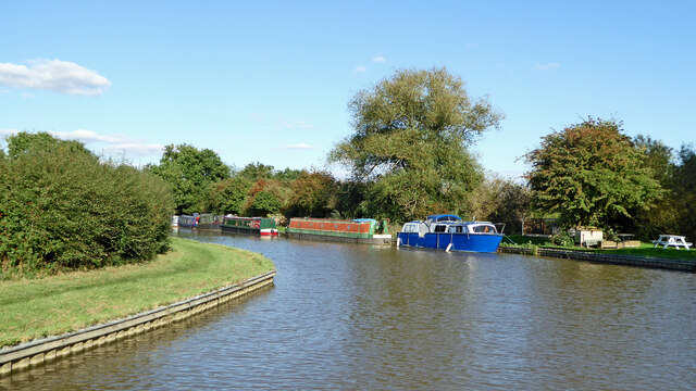
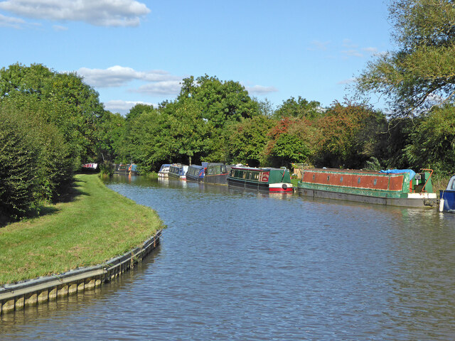
Burton Hastings is a predominantly rural area with a small population of around 400 residents. The parish is characterized by its picturesque countryside, lush green fields, and charming village atmosphere. It is surrounded by beautiful Warwickshire countryside, offering residents and visitors ample opportunities for outdoor activities such as walking, cycling, and horse riding.

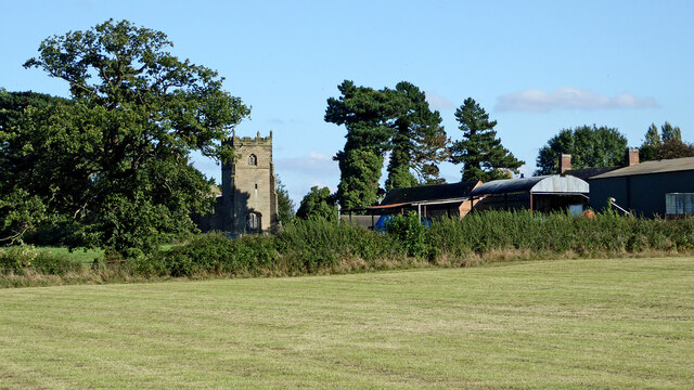
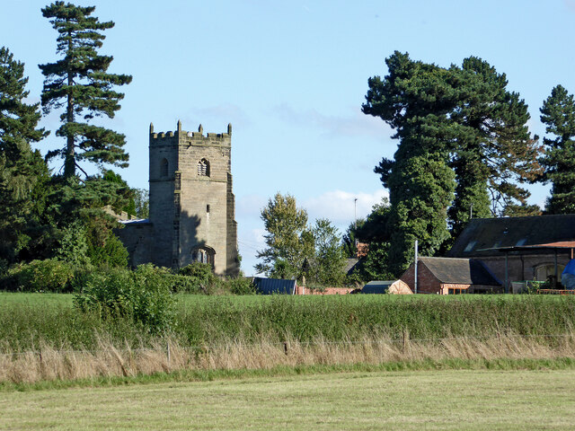
The village itself is small and tight-knit, with a strong sense of community. It has a few amenities including a village hall, a primary school, and a local pub. The parish also has a historic church, St. Botolph's, which is believed to date back to the 12th century and is well-known for its stunning architecture.

Burton Hastings is well-connected to nearby towns and cities, with good road links to Hinckley, Nuneaton, and Leicester. The M69 motorway is easily accessible, providing convenient transport links to Birmingham and Coventry.

Overall, Burton Hastings offers a peaceful and idyllic rural lifestyle with easy access to amenities and larger urban centers. Its scenic beauty, strong community spirit, and historical landmarks make it an attractive place to live or visit.

If you have any feedback on the listing, please let us know in the comments section below.

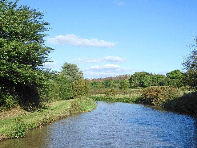
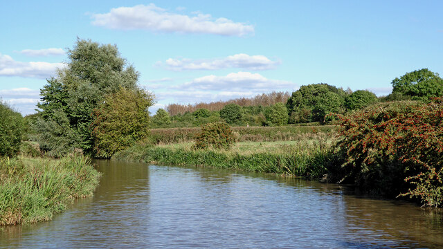
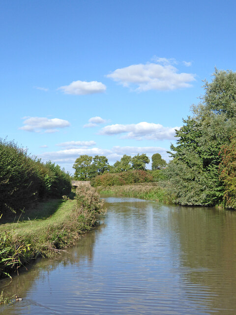
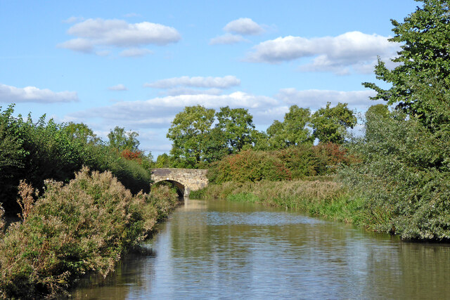
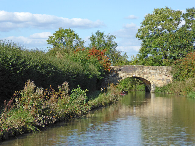
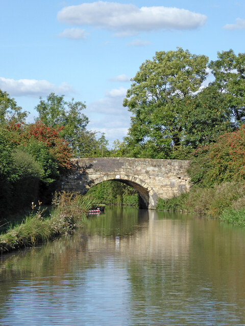
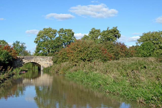
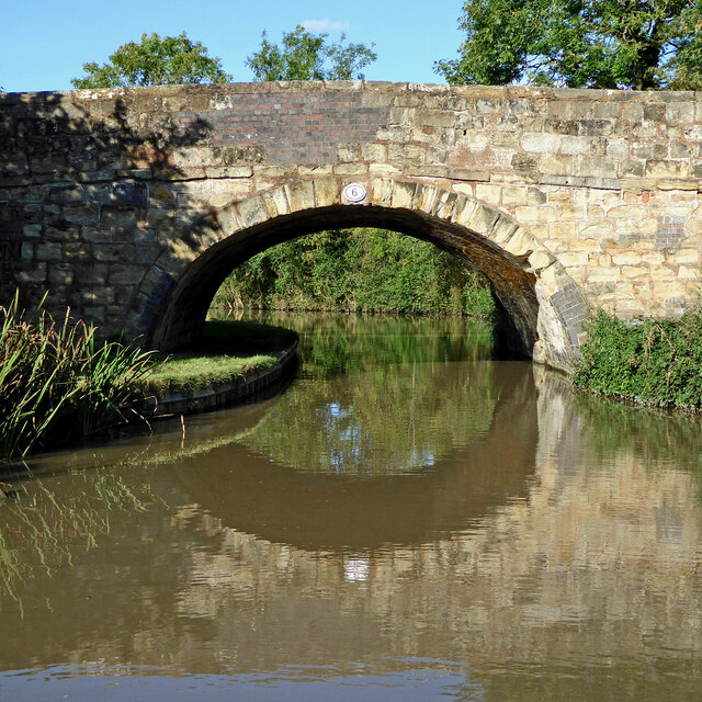
Burton Hastings Images

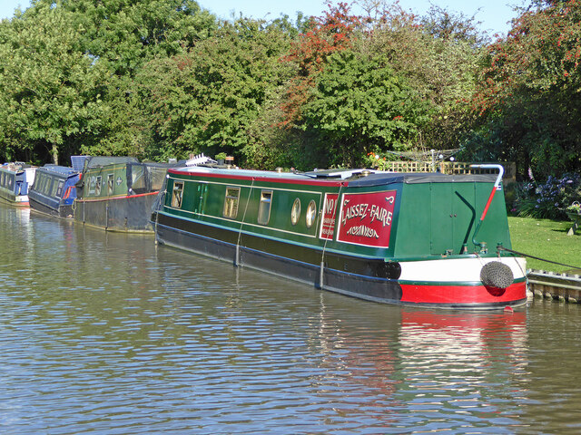
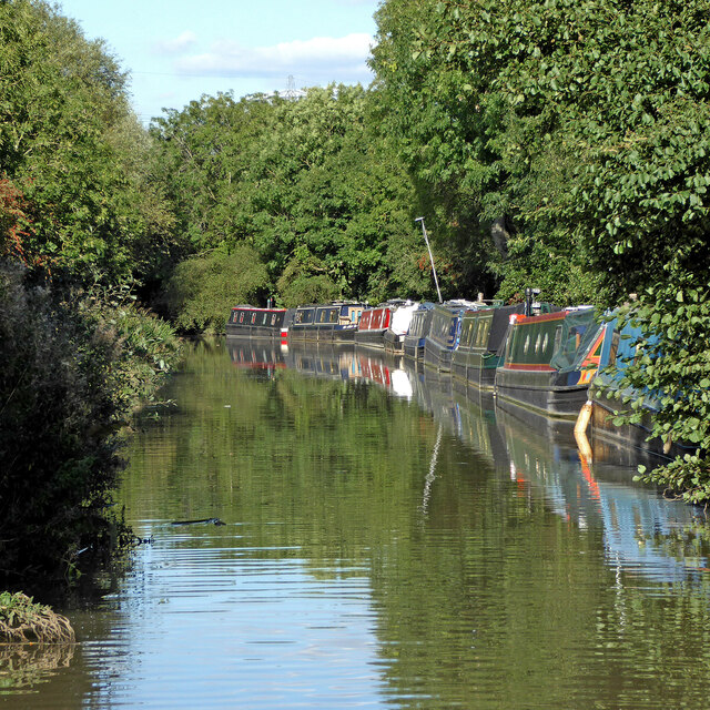
Images are sourced within 2km of 52.502837/-1.384107 or Grid Reference SP4189. Thanks to Geograph Open Source API. All images are credited.

Farmland near Wolvey Heath
North along Gipsy Lane
Ashby Canal near Bramcote in Warwickshire Looking north-east as the canal meanders towards Hinckley. The woodland on the Bramcote Hill ahead is by the B4114 Lutterworth Road 

After several years of construction the canal was fully opened by 1804. The section north of Snarestone was closed in 1966, leaving 22 viable miles to restore and maintain. It is now a very popular waterway for lock-free rural cruising.

<span class="nowrap"><a title="https://en.wikipedia.org/wiki/Ashby_Canal" rel="nofollow ugc noopener" href="https://en.wikipedia.org/wiki/Ashby_Canal">Link</a><img style="margin-left:2px;" alt="External link" title="External link - shift click to open in new window" src="https://s1.geograph.org.uk/img/external.png" width="10" height="10"/></span>
Ashby Canal near Bramcote in Warwickshire
Looking north-east as the canal meanders towards Hinckley. The woodland on the Bramcote Hill ahead is by the B4114 Lutterworth Road After several years of construction the canal was fully opened by 1804. The section north of Snarestone was closed in 1966, leaving 22 viable miles to restore and maintain. It is now a very popular waterway for lock-free rural cruising. LinkExternal link
Canal and farmland near Bramcote in Warwickshire Looking north-east as the canal meanders towards Hinckley. The woodland on the Bramcote Hill ahead is by the B4114 Lutterworth Road.

Stephen McKay summarises:
Canal and farmland near Bramcote in Warwickshire
Looking north-east as the canal meanders towards Hinckley. The woodland on the Bramcote Hill ahead is by the B4114 Lutterworth Road. Stephen McKay summarises:
Ashby Canal near Bramcote in Warwickshire Looking north-east as the canal meanders towards Hinckley. Bramcote Road Bridge (No 6) is ahead.
After several years of construction the canal was fully opened by 1804. The section north of Snarestone was closed in 1966, leaving 22 viable miles to restore and maintain. It is now a very popular waterway for lock-free rural cruising.

<span class="nowrap"><a title="https://en.wikipedia.org/wiki/Ashby_Canal" rel="nofollow ugc noopener" href="https://en.wikipedia.org/wiki/Ashby_Canal">Link</a><img style="margin-left:2px;" alt="External link" title="External link - shift click to open in new window" src="https://s1.geograph.org.uk/img/external.png" width="10" height="10"/></span>
Ashby Canal near Bramcote in Warwickshire
Looking north-east as the canal meanders towards Hinckley. Bramcote Road Bridge (No 6) is ahead. After several years of construction the canal was fully opened by 1804. The section north of Snarestone was closed in 1966, leaving 22 viable miles to restore and maintain. It is now a very popular waterway for lock-free rural cruising. LinkExternal link
Ashby Canal near Bramcote in Warwickshire Looking north-east as the canal meanders towards Hinckley. Bramcote Road Bridge (No 6) is ahead.

Stephen McKay summarises:
Ashby Canal near Bramcote in Warwickshire
Looking north-east as the canal meanders towards Hinckley. Bramcote Road Bridge (No 6) is ahead. Stephen McKay summarises:
Ashby Canal approaching Bramcote Road Bridge Looking north-east as the camal meanders towards Hinckley. Bramcote Road Bridge (No 6) is ahead.

Stephen McKay summarises:
Ashby Canal approaching Bramcote Road Bridge
Looking north-east as the camal meanders towards Hinckley. Bramcote Road Bridge (No 6) is ahead. Stephen McKay summarises:
Bramcote Road Bridge near Burton Hastings in Warwickshire Bramcote Road Bridge is No 6 across the Ashby Canal about three quarters of a mile south-west of Burton Hastings. I don't know why it isn't called Lutterworth Road Bridge. Even Victorian maps show the current B4114 as Lutterworth Road.

<span class="nowrap"><a title="https://en.wikipedia.org/wiki/Ashby_Canal" rel="nofollow ugc noopener" href="https://en.wikipedia.org/wiki/Ashby_Canal">Link</a><img style="margin-left:2px;" alt="External link" title="External link - shift click to open in new window" src="https://s1.geograph.org.uk/img/external.png" width="10" height="10"/></span>
Bramcote Road Bridge near Burton Hastings in Warwickshire
Bramcote Road Bridge is No 6 across the Ashby Canal about three quarters of a mile south-west of Burton Hastings. I don't know why it isn't called Lutterworth Road Bridge. Even Victorian maps show the current B4114 as Lutterworth Road. LinkExternal link
Ashby Canal approaching Bramcote Road Bridge Looking north-east as the canal meanders towards Hinckley. Bramcote Road Bridge (No 6) is ahead. I don't know why it isn't called Lutterworth Road Bridge. Even Victorian maps show the current B4114 as Lutterworth Road.
Ashby Canal approaching Bramcote Road Bridge
Looking north-east as the canal meanders towards Hinckley. Bramcote Road Bridge (No 6) is ahead. I don't know why it isn't called Lutterworth Road Bridge. Even Victorian maps show the current B4114 as Lutterworth Road.
Bramcote Road Bridge near Burton Hastings in Warwickshire Bramcote Road Bridge is No 6 across the Ashby Canal about three quarters of a mile south-west of Burton Hastings. I don't know why it isn't called Lutterworth Road Bridge. Even Victorian maps show the current B4114 as Lutterworth Road.

<span class="nowrap"><a title="https://en.wikipedia.org/wiki/Ashby_Canal" rel="nofollow ugc noopener" href="https://en.wikipedia.org/wiki/Ashby_Canal">Link</a><img style="margin-left:2px;" alt="External link" title="External link - shift click to open in new window" src="https://s1.geograph.org.uk/img/external.png" width="10" height="10"/></span>
Bramcote Road Bridge near Burton Hastings in Warwickshire
Bramcote Road Bridge is No 6 across the Ashby Canal about three quarters of a mile south-west of Burton Hastings. I don't know why it isn't called Lutterworth Road Bridge. Even Victorian maps show the current B4114 as Lutterworth Road. LinkExternal link
Ashby Canal south-east of Whitestone, Nuneaton Looking north as the canal meanders towards Hinckley. Bramcote Road Bridge (No 6) is behind the camera.
Ashby Canal south-east of Whitestone, Nuneaton
Looking north as the canal meanders towards Hinckley. Bramcote Road Bridge (No 6) is behind the camera.
Canalside grazing near Bramcote in Warwickshire This is by the Ashby Canal north of Bramcote Road Bridge, No 6.
Canalside grazing near Bramcote in Warwickshire
This is by the Ashby Canal north of Bramcote Road Bridge, No 6.
Ashby Canal south-west of Burton Hastings The private long-term moorings on the right are by the extended five Burton Farm Fishery pools.
Ashby Canal south-west of Burton Hastings
The private long-term moorings on the right are by the extended five Burton Farm Fishery pools.
Ashby Canal south-west of Burton Hastings The private long-term moorings on the right are by the extended five Burton Farm Fishery pools. The canal is meandering northwards towards Hinckley.

Stephen McKay summarises:
Ashby Canal south-west of Burton Hastings
The private long-term moorings on the right are by the extended five Burton Farm Fishery pools. The canal is meandering northwards towards Hinckley. Stephen McKay summarises:
Moorings near Burton Hastings in Warwickshire The private long-term moorings on the right are by the extended five Burton Farm Fishery pools near Bramcote. The canal is meandering northwards towards Hinckley.

<span class="nowrap"><a title="https://en.wikipedia.org/wiki/Ashby_Canal" rel="nofollow ugc noopener" href="https://en.wikipedia.org/wiki/Ashby_Canal">Link</a><img style="margin-left:2px;" alt="External link" title="External link - shift click to open in new window" src="https://s1.geograph.org.uk/img/external.png" width="10" height="10"/></span>
Moorings near Burton Hastings in Warwickshire
The private long-term moorings on the right are by the extended five Burton Farm Fishery pools near Bramcote. The canal is meandering northwards towards Hinckley. LinkExternal link
Canal moorings near Burton Hastings in Warwickshire Looking north-east towards Burton Hastings as the Ashby Canal meanders towards Hinckley. The moorings by the five extensive Burton Farm Fishery pools.

<span class="nowrap"><a title="https://en.wikipedia.org/wiki/Ashby_Canal" rel="nofollow ugc noopener" href="https://en.wikipedia.org/wiki/Ashby_Canal">Link</a><img style="margin-left:2px;" alt="External link" title="External link - shift click to open in new window" src="https://s1.geograph.org.uk/img/external.png" width="10" height="10"/></span>
Canal moorings near Burton Hastings in Warwickshire
Looking north-east towards Burton Hastings as the Ashby Canal meanders towards Hinckley. The moorings by the five extensive Burton Farm Fishery pools. LinkExternal link
Pasture near Burton Hastings in Warwickshire This telephoto assisted image taken from the Ashby Canal by the power lines shows the tower of St Botolph's Church about 350 yards away, east-south-east.
Pasture near Burton Hastings in Warwickshire
This telephoto assisted image taken from the Ashby Canal by the power lines shows the tower of St Botolph's Church about 350 yards away, east-south-east.
Burton Hastings in Warwickshire This telephoto assisted image taken from the Ashby Canal by James Bridge (No 9) shows the tower of St Botolph's Church about 300 yards away, south-east.
Burton Hastings in Warwickshire
This telephoto assisted image taken from the Ashby Canal by James Bridge (No 9) shows the tower of St Botolph's Church about 300 yards away, south-east.
Show me another place!

Burton Hastings is located at Grid Ref: SP4189 (Lat: 52.502837, Lng: -1.384107)

Administrative County: Warwickshire

District: Rugby

Police Authority: Warwickshire

What 3 Words

///cost.sing.result. Near Hinckley, Leicestershire

Related Wikis

Burton Hastings

Burton Hastings is a village and civil parish in the English county of Warwickshire. == Location == The village is in the northernmost part of the Borough...

Stretton Baskerville

Stretton Baskerville is a deserted medieval village and civil parish in the English county of Warwickshire. It shares a parish council with the nearby...

RAF Bramcote

Royal Air Force Bramcote, or more simply RAF Bramcote, is a former Royal Air Force station located 3.5 miles (5.6 km) south-east of Nuneaton, Warwickshire...

Gamecock Barracks

Gamecock Barracks is a British Army installation located at Bramcote, 3.5 miles (5.6 km) south-east of Nuneaton in Warwickshire. == History == The barracks...

Nearby Amenities

Located within 500m of 52.502837,-1.384107
Phone
Check Date: 2021-08-09
Emergency: phone
Type: sos
Lat/Long: 52.4983583/-1.3838327
The data included in this document is from www.openstreetmap.org. The data is made available under ODbL.

Have you been to Burton Hastings?

Leave your review of Burton Hastings below (or comments, questions and feedback).