Burton Latimer
Settlement in Northamptonshire
England
Burton Latimer

Burton Latimer is a small town located in the county of Northamptonshire, England. Situated approximately 5 miles south of Kettering, it has a population of around 7,000 residents. The town is positioned on the eastern side of the River Ise and is easily accessible via the A6 road.
Historically, Burton Latimer has been an industrial town with a rich heritage in shoemaking. The shoe industry played a vital role in the town's development, and at its peak, there were numerous shoe factories operating in the area. However, in recent years, the decline of the industry has led to the closure of most of these factories.
Despite the decline of the shoe industry, Burton Latimer remains a thriving community with a range of amenities and services. The town center has a variety of shops, including local independent stores as well as larger supermarkets. There are also several pubs, restaurants, and cafes, offering a range of dining options.
The town is well-served by education facilities, with both primary and secondary schools available to residents. Additionally, there are several parks and green spaces, providing opportunities for outdoor activities and leisure.
Transport links in Burton Latimer are adequate, with regular bus services connecting the town to neighboring areas. The nearest train station is located in Kettering, providing access to regional and national rail networks.
Overall, Burton Latimer is a small but vibrant town that offers a mix of historical significance and modern amenities to its residents.
If you have any feedback on the listing, please let us know in the comments section below.
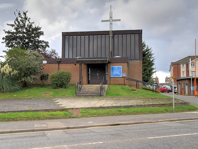
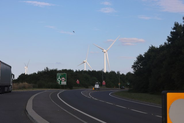
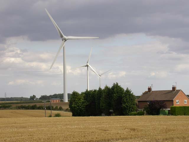
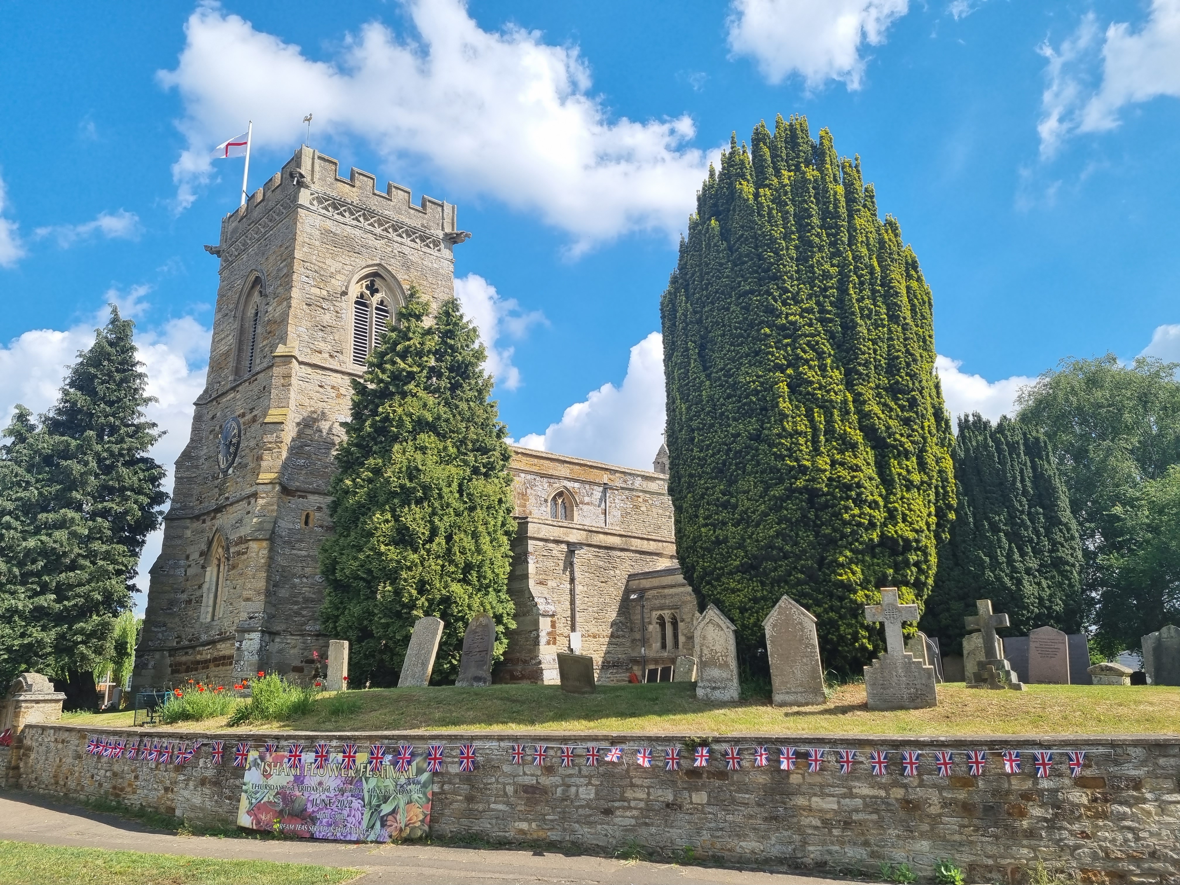
Burton Latimer Images
Images are sourced within 2km of 52.362697/-0.678841 or Grid Reference SP9074. Thanks to Geograph Open Source API. All images are credited.


Burton Latimer is located at Grid Ref: SP9074 (Lat: 52.362697, Lng: -0.678841)
Unitary Authority: North Northamptonshire
Police Authority: Northamptonshire
What 3 Words
///darts.roaming.flick. Near Burton Latimer, Northamptonshire
Nearby Locations
Related Wikis
Burton Latimer
Burton Latimer is a town in North Northamptonshire, England, approximately 3.1 miles (5.0 km) from Kettering. At the 2011 census, its population was 7...

Burton Latimer Hall
Burton Latimer Hall is an Elizabethan manor house in the village of Burton Latimer, Northamptonshire. It is a Grade I listed building.The Hall, probably...

Burton Park Wanderers F.C.
Burton Park Wanderers Football Club is a football club based in Burton Latimer, Northamptonshire, England. They are currently members of the Spartan South...
Kettering Town F.C.
Kettering Town Football Club is a football club based in Burton Latimer, Northamptonshire, England. They are currently members of the Southern League Premier...
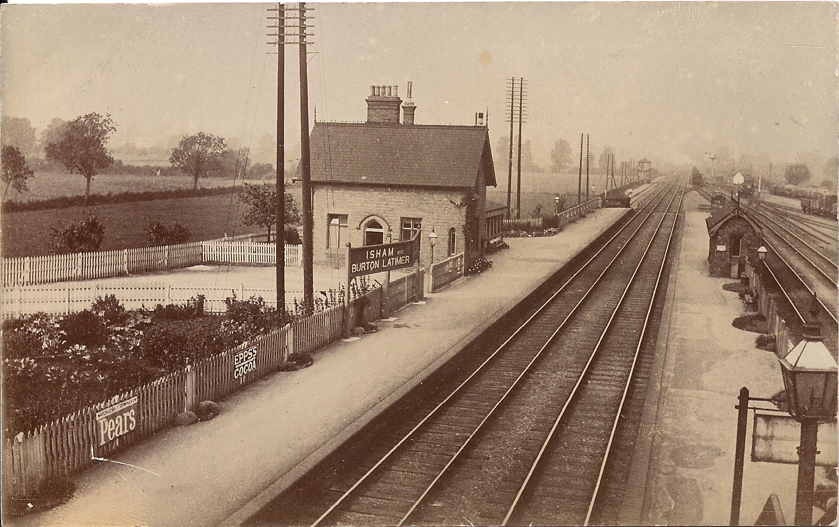
Isham and Burton Latimer railway station
Isham and Burton Latimer railway station was built by the Midland Railway in 1857 to serve the villages of Isham and Burton Latimer on its extension from...

Finedon railway station
Finedon railway station was built by the Midland Railway in 1857 on its extension from Leicester to Bedford and Hitchin. It had one island platform. Being...
Isham
Isham is a village and civil parish in Northamptonshire, England. It is on the A509 road, three miles south of Kettering and a mile to the west of Burton...

Southfield Farm Marsh
Southfield Farm Marsh is an 8.6-hectare (21-acre) biological Site of Special Scientific Interest in Kettering in Northamptonshire. An area of 2.8 hectares...
Nearby Amenities
Located within 500m of 52.362697,-0.678841Have you been to Burton Latimer?
Leave your review of Burton Latimer below (or comments, questions and feedback).