Buckfastleigh
Civil Parish in Devon Teignbridge
England
Buckfastleigh
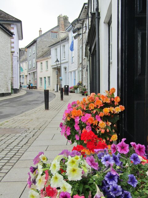
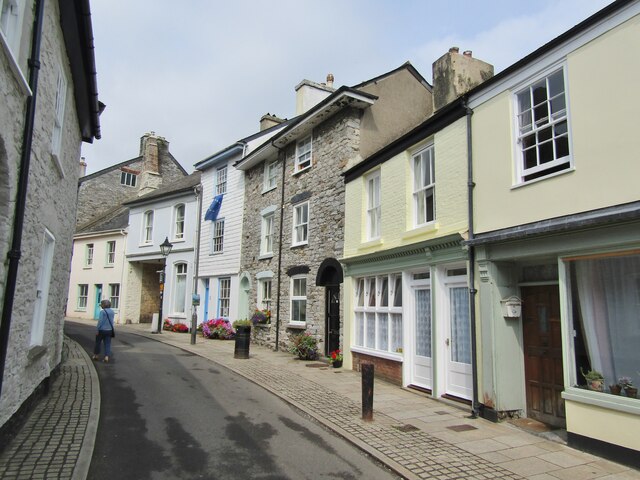
Buckfastleigh is a civil parish located in the South Hams district of Devon, England. Situated on the southern edge of Dartmoor National Park, it is surrounded by picturesque countryside and offers abundant natural beauty. The town itself is nestled in the valley of the River Dart, which adds to its charm.
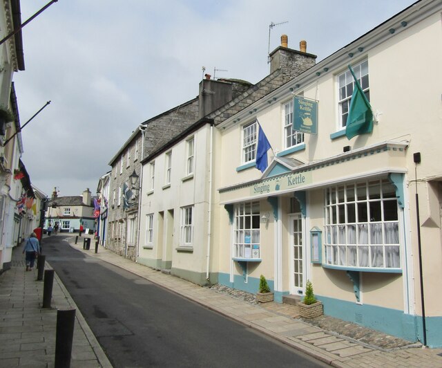
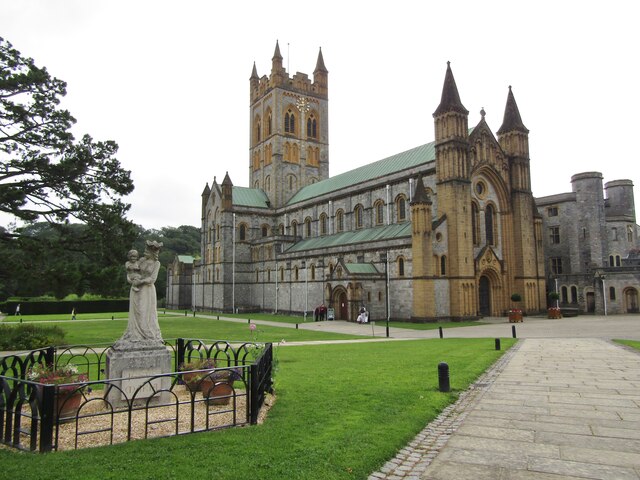
With a population of around 3,300 people, Buckfastleigh has a close-knit community feel. It is known for its historic buildings, including the 13th-century Buckfast Abbey, which attracts visitors from far and wide. The abbey is home to a community of Benedictine monks and boasts beautiful gardens and a tranquil atmosphere.
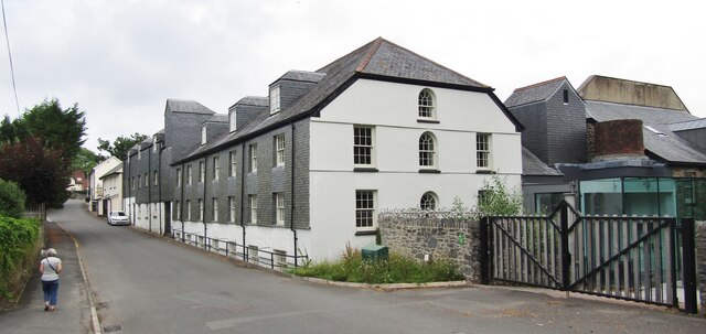
The town has a rich industrial heritage, particularly in the textile industry. The Buckfastleigh Wool Mill, established in the 19th century, is one of the oldest working woolen mills in the country. It offers guided tours, allowing visitors to learn about the traditional methods of wool production.
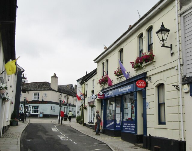
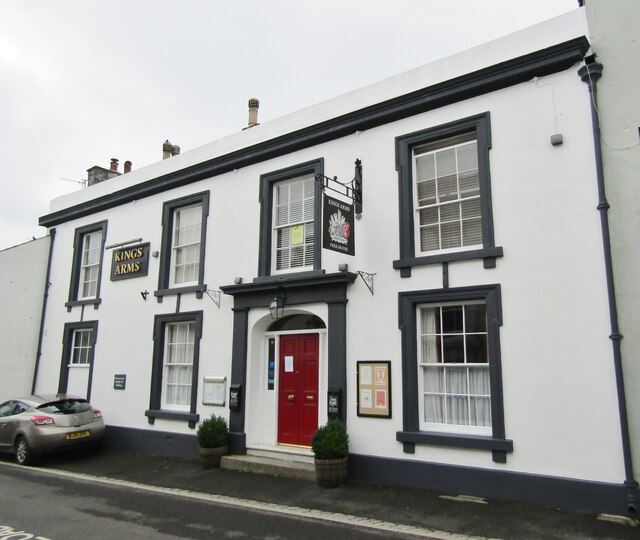
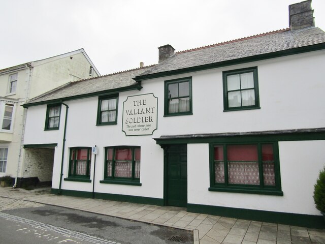
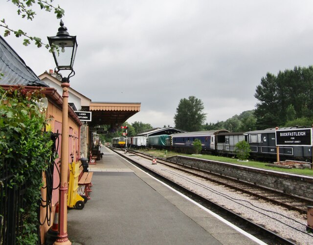
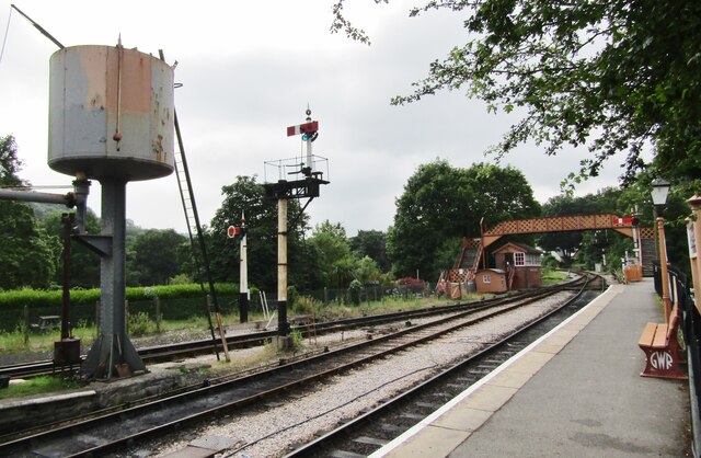
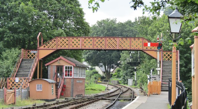
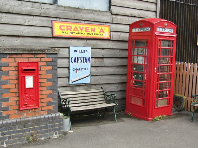
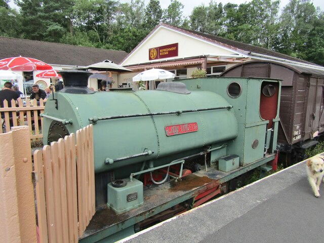
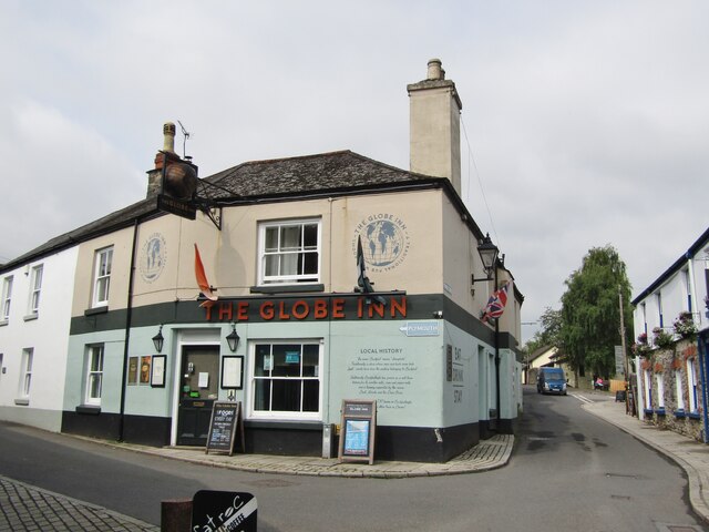
Buckfastleigh also offers a range of amenities for residents and visitors alike. There are several shops, cafes, and pubs, as well as a leisure center and a primary school. The town is well-connected, with a railway station on the Dart Valley Railway, which runs steam trains to Totnes.
In addition to its historical and cultural attractions, Buckfastleigh is a gateway to the stunning Dartmoor National Park. The park offers miles of walking, cycling, and horse-riding trails, as well as opportunities for outdoor activities such as rock climbing and wild swimming.
Overall, Buckfastleigh is a charming and vibrant town, with a rich history and stunning natural surroundings, making it a popular destination for tourists and a delightful place to live.
If you have any feedback on the listing, please let us know in the comments section below.
Buckfastleigh Images
Images are sourced within 2km of 50.48627/-3.783912 or Grid Reference SX7366. Thanks to Geograph Open Source API. All images are credited.

Buckfastleigh is located at Grid Ref: SX7366 (Lat: 50.48627, Lng: -3.783912)
Administrative County: Devon
District: Teignbridge
Police Authority: Devon & Cornwall
What 3 Words
///races.treatment.revamping. Near Buckfastleigh, Devon
Nearby Locations
Related Wikis
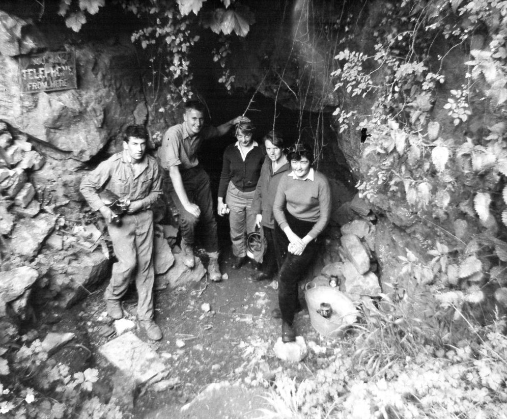
Bakers Pit
Bakers Pit is a phreatic maze cave system near Buckfastleigh, Devon, England. It was first opened in 1847 by quarrying activities.Bakers Pit is entered...

Buckfastleigh
Buckfastleigh is a market town and civil parish in Devon, England situated beside the Devon Expressway (A38) at the edge of the Dartmoor National Park...

Buckfast
Buckfast is a small village near Buckfastleigh in Teignbridge district, Devon, England, on the bank of the River Dart. It is the home of Buckfast Abbey...
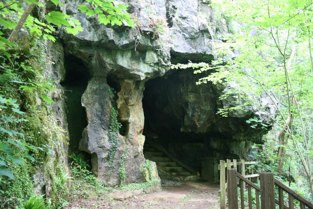
Joint Mitnor Cave
Joint Mitnor Cave, also known as Bone Cave, is a limestone cave situated in the now disused Higher Kiln Quarry near Buckfastleigh, in Devon, England. The...
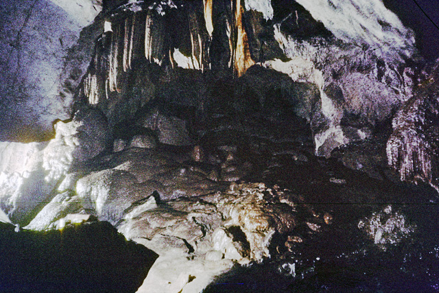
Reed's Cave
Reed's cave is a cave in Higher Kiln Quarry near Buckfastleigh, Dartmoor, Devon. It has many formations including the unique Little Man formation, which...
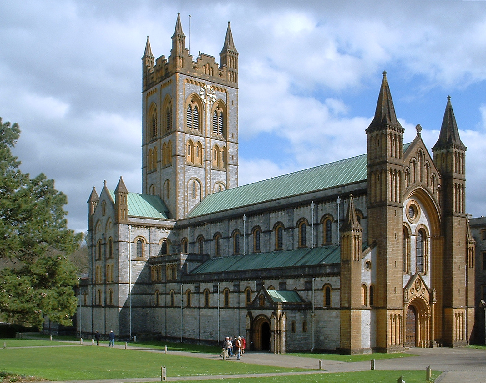
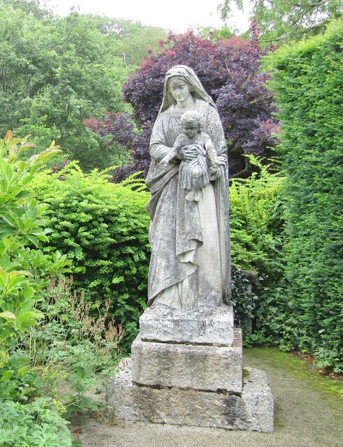
Buckfast Abbey
Buckfast Abbey forms part of an active Benedictine monastery at Buckfast, near Buckfastleigh, Devon, England. Buckfast first became home to an abbey in...

Buckfastleigh railway station
Buckfastleigh railway station is situated on the South Devon Railway, a heritage railway in Devon, England. It serves the town of Buckfastleigh. ��2�...
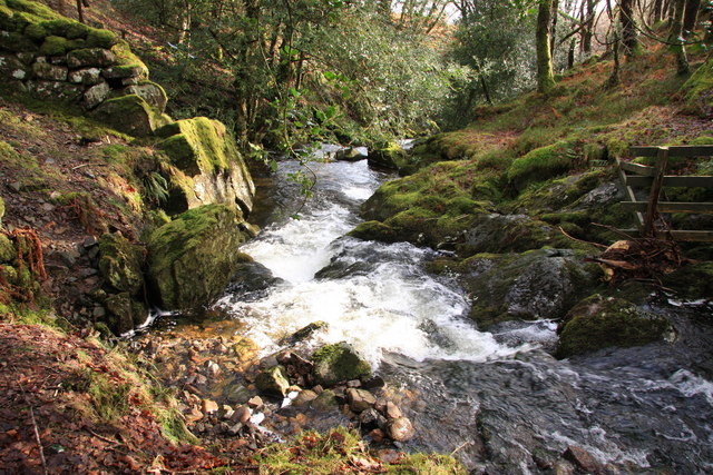
River Mardle
The River Mardle is a tributary of the River Dart in Devon, England. It rises on Holne Moor on Dartmoor and flows in a generally south-easterly direction...
Nearby Amenities
Located within 500m of 50.48627,-3.783912Have you been to Buckfastleigh?
Leave your review of Buckfastleigh below (or comments, questions and feedback).