Barn Park
Downs, Moorland in Devon Teignbridge
England
Barn Park
Barn Park, located in Devon, England, is a picturesque area encompassing downs and moorland. Spanning over a vast expanse, it offers visitors a unique blend of natural beauty and diverse landscapes. The park is situated in a rural setting, away from bustling towns and cities, providing a tranquil and peaceful environment.
The downs in Barn Park are characterized by rolling hills covered in lush green grass. These open spaces offer breathtaking panoramic views of the surrounding countryside. Visitors can indulge in leisurely walks, picnics, or simply relax and soak in the tranquil atmosphere.
The moorland, on the other hand, provides a contrasting landscape with its rugged terrain and heather-covered hills. This area is home to a variety of flora and fauna, including heathland plants, wild ponies, and diverse bird species. Exploring the moorland offers visitors the opportunity to witness the unique beauty of this untamed wilderness.
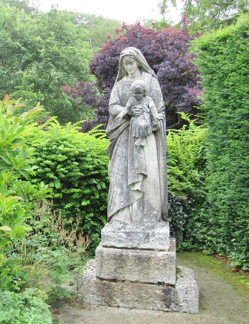
Aside from its natural wonders, Barn Park also boasts a rich cultural and historical heritage. The park features ancient burial mounds and stone circles, dating back to prehistoric times. These historic sites provide a glimpse into the region's ancient past and offer an intriguing experience for history enthusiasts.
Barn Park is a haven for outdoor enthusiasts, offering a wide range of activities such as hiking, cycling, and horseback riding. The park is well-maintained with designated trails and paths, ensuring that visitors can enjoy their chosen activity safely.
With its stunning landscapes, rich biodiversity, and historical significance, Barn Park is a must-visit destination for nature lovers and those seeking an escape from the hustle and bustle of everyday life.
If you have any feedback on the listing, please let us know in the comments section below.
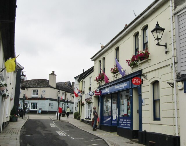
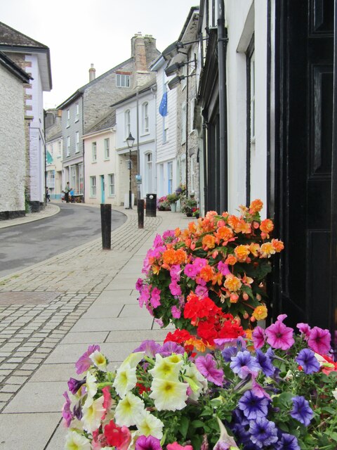
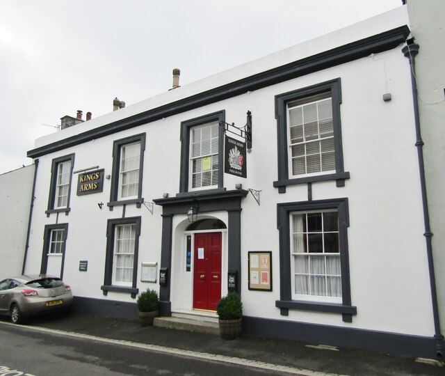
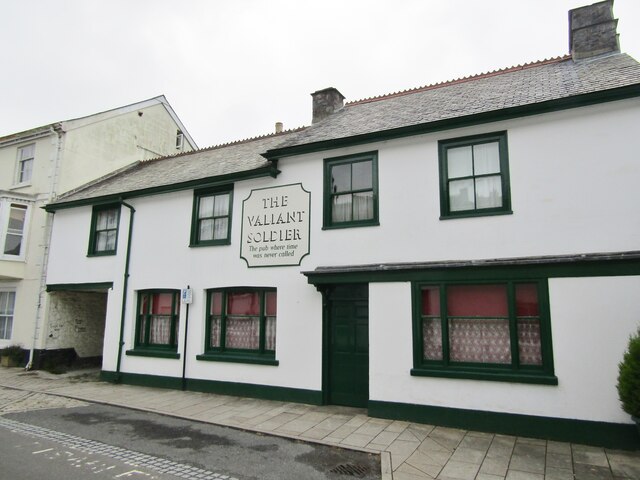
Barn Park Images
Images are sourced within 2km of 50.480123/-3.7879485 or Grid Reference SX7366. Thanks to Geograph Open Source API. All images are credited.

Barn Park is located at Grid Ref: SX7366 (Lat: 50.480123, Lng: -3.7879485)
Administrative County: Devon
District: Teignbridge
Police Authority: Devon and Cornwall
What 3 Words
///sprawls.validated.flamenco. Near Buckfastleigh, Devon
Nearby Locations
Related Wikis

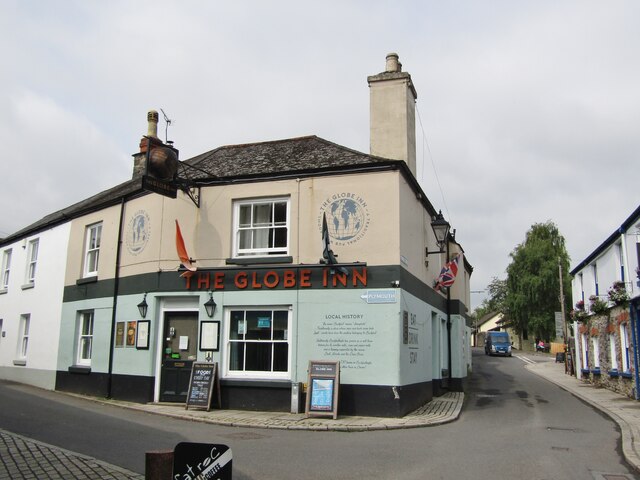
Buckfastleigh
Buckfastleigh is a market town and civil parish in Devon, England situated beside the Devon Expressway (A38) at the edge of the Dartmoor National Park...
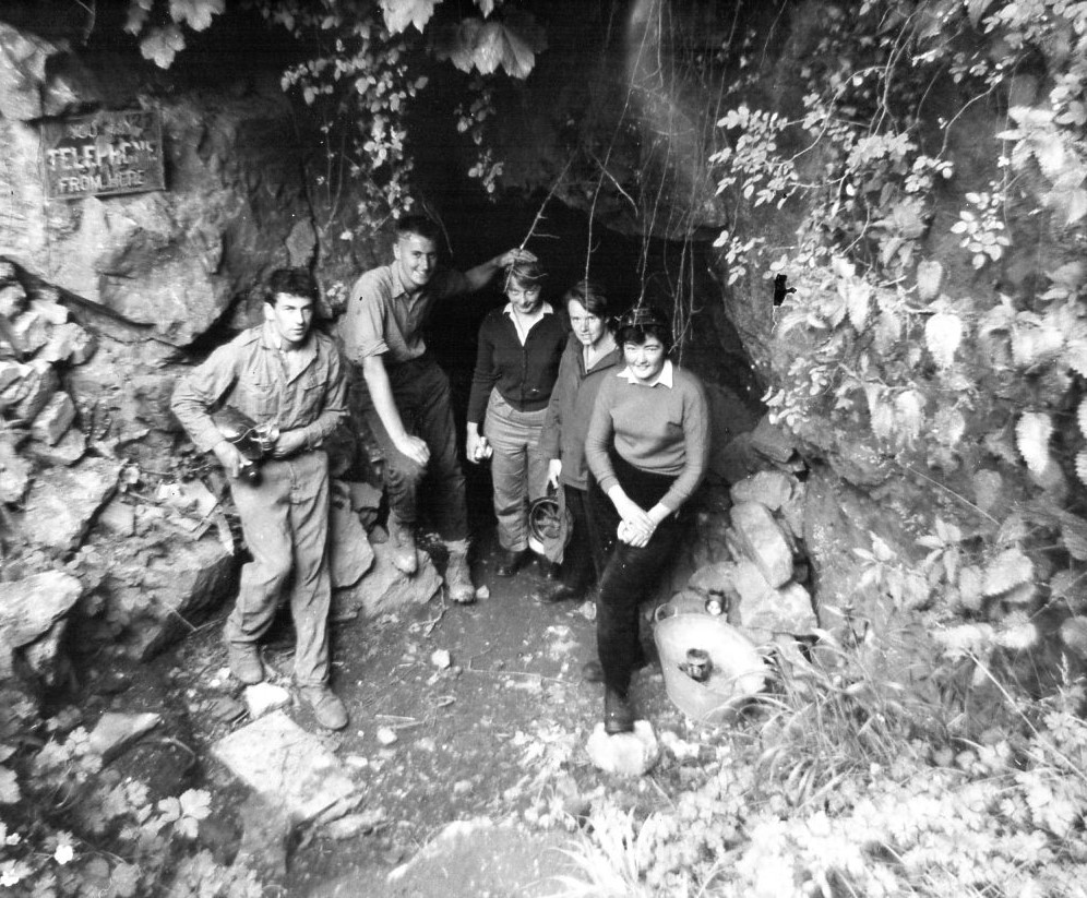
Bakers Pit
Bakers Pit is a phreatic maze cave system near Buckfastleigh, Devon, England. It was first opened in 1847 by quarrying activities.Bakers Pit is entered...
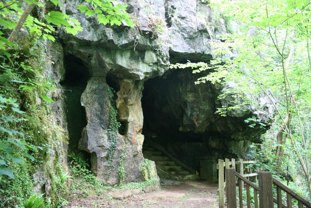
Joint Mitnor Cave
Joint Mitnor Cave, also known as Bone Cave, is a limestone cave situated in the now disused Higher Kiln Quarry near Buckfastleigh, in Devon, England. The...
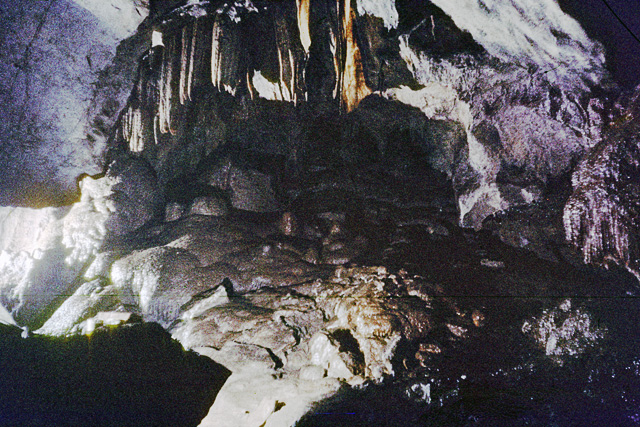
Reed's Cave
Reed's cave is a cave in Higher Kiln Quarry near Buckfastleigh, Dartmoor, Devon. It has many formations including the unique Little Man formation, which...
Nearby Amenities
Located within 500m of 50.480123,-3.7879485Have you been to Barn Park?
Leave your review of Barn Park below (or comments, questions and feedback).