Higher Town

Settlement in Devon Teignbridge

England

Higher Town

Buckfastleigh - Fore Street A market and mill town with many historic buildings on its main street.
Buckfastleigh - Fore Street Credit: Colin Smith

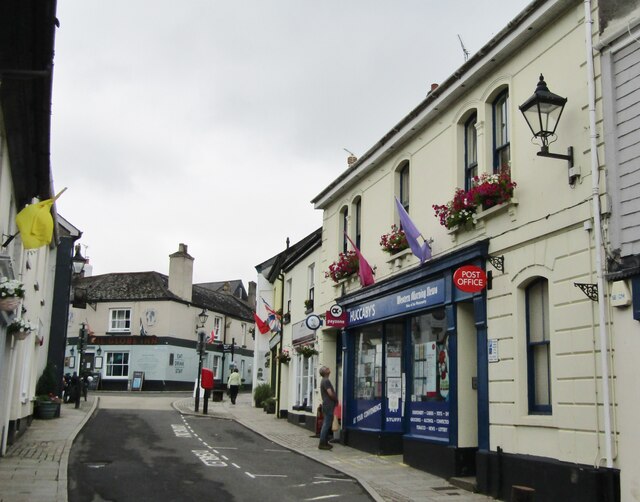
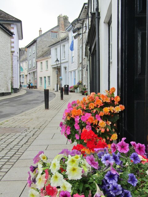
Higher Town is a picturesque village located in the county of Devon, England. Situated on the southern edge of Dartmoor National Park, this rural community offers stunning views of rolling hills, lush green fields, and ancient woodlands. With a population of around 500 residents, Higher Town is known for its peaceful atmosphere and close-knit community.

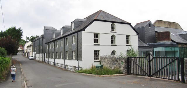
The village is characterized by its traditional stone-built houses, many of which date back to the 17th and 18th centuries. The quaint charm of the architecture adds to the village's overall appeal. Higher Town has managed to retain its rustic charm and escape the rapid development that has affected many other areas.

Surrounded by natural beauty, the village is a haven for outdoor enthusiasts. The nearby Dartmoor National Park offers a wide range of activities such as hiking, horse riding, and cycling. The area is also home to an abundance of wildlife, including Dartmoor ponies, which can often be spotted grazing in the surrounding fields.

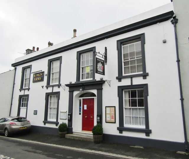
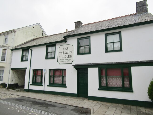
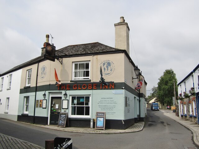
Higher Town benefits from a strong sense of community, with various local clubs and organizations providing opportunities for residents to socialize and participate in events and activities. The village also boasts a charming pub, where locals and visitors can enjoy traditional British cuisine and locally brewed ales.

Overall, Higher Town offers a peaceful retreat from the hustle and bustle of city life, with its stunning natural surroundings and close-knit community making it a truly desirable place to live or visit in Devon.

If you have any feedback on the listing, please let us know in the comments section below.
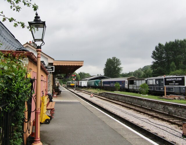
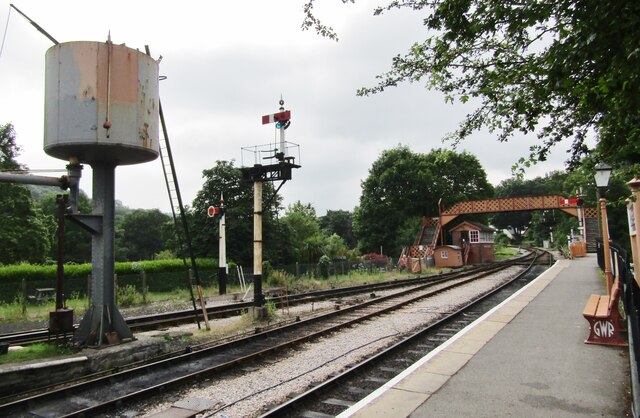
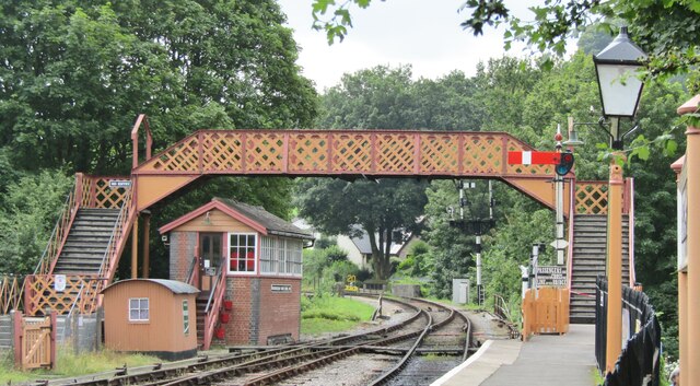
Higher Town Images

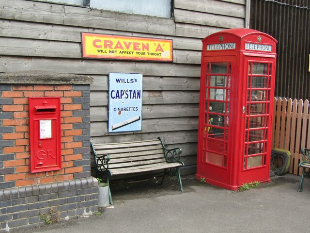
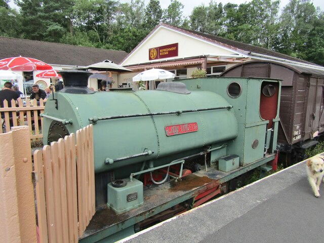
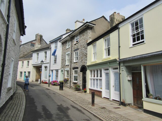
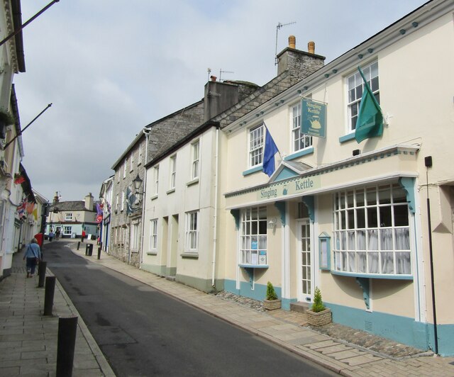
Images are sourced within 2km of 50.485504/-3.7883771 or Grid Reference SX7366. Thanks to Geograph Open Source API. All images are credited.

Buckfastleigh - Fore Street A market and mill town with many historic buildings on its main street.
Buckfastleigh - Fore Street
A market and mill town with many historic buildings on its main street.
Buckfastleigh - Fore Street A market and mill town with many historic buildings on its main street.
Buckfastleigh - Fore Street
A market and mill town with many historic buildings on its main street.
Buckfastleigh - Kings Arms Historic hotel on Fore Street.
Buckfastleigh - Kings Arms
Historic hotel on Fore Street.
Buckfastleigh - The Valiant Soldier Fore Street - "The pub where time was never called". Unchanged since 1965, now a museum and archive.
<span class="nowrap"><a title="www.valiantsoldier.org.uk" rel="nofollow ugc noopener" href="http://www.valiantsoldier.org.uk">Link</a><img style="margin-left:2px;" alt="External link" title="External link - shift click to open in new window" src="https://s1.geograph.org.uk/img/external.png" width="10" height="10"/></span>
Buckfastleigh - The Valiant Soldier
Fore Street - "The pub where time was never called". Unchanged since 1965, now a museum and archive. LinkExternal link
Buckfastleigh - Railway Station The South Devon Railway Trust operates a heritage railway from Totnes to Buckfastleigh. 
<span class="nowrap"><a title="www.southdevonrailway.co.uk" rel="nofollow ugc noopener" href="http://www.southdevonrailway.co.uk">Link</a><img style="margin-left:2px;" alt="External link" title="External link - shift click to open in new window" src="https://s1.geograph.org.uk/img/external.png" width="10" height="10"/></span>
Buckfastleigh - Railway Station
The South Devon Railway Trust operates a heritage railway from Totnes to Buckfastleigh. LinkExternal link
Buckfastleigh - Railway Station - Footbridge The South Devon Railway Trust operates a heritage railway from Totnes to Buckfastleigh. 
<span class="nowrap"><a title="www.southdevonrailway.co.uk" rel="nofollow ugc noopener" href="http://www.southdevonrailway.co.uk">Link</a><img style="margin-left:2px;" alt="External link" title="External link - shift click to open in new window" src="https://s1.geograph.org.uk/img/external.png" width="10" height="10"/></span>
Buckfastleigh - Railway Station - Footbridge
The South Devon Railway Trust operates a heritage railway from Totnes to Buckfastleigh. LinkExternal link
Buckfastleigh - Railway Station The South Devon Railway Trust operates a heritage railway from Totnes to Buckfastleigh. The booking hall has a vintage display, including the arched nameplate "Isambard Kingdom Brunel". Note the hand sanitiser station - anti-Covid measure.
<span class="nowrap"><a title="www.southdevonrailway.co.uk" rel="nofollow ugc noopener" href="http://www.southdevonrailway.co.uk">Link</a><img style="margin-left:2px;" alt="External link" title="External link - shift click to open in new window" src="https://s1.geograph.org.uk/img/external.png" width="10" height="10"/></span>
Buckfastleigh - Railway Station
The South Devon Railway Trust operates a heritage railway from Totnes to Buckfastleigh. The booking hall has a vintage display, including the arched nameplate "Isambard Kingdom Brunel". Note the hand sanitiser station - anti-Covid measure. LinkExternal link
Buckfastleigh - Railway Station The South Devon Railway Trust operates a heritage railway from Totnes to Buckfastleigh. It displays vintage cigarette adverts for Capstan and Craven A between the bright red post box and telephone call box.
<span class="nowrap"><a title="www.southdevonrailway.co.uk" rel="nofollow ugc noopener" href="http://www.southdevonrailway.co.uk">Link</a><img style="margin-left:2px;" alt="External link" title="External link - shift click to open in new window" src="https://s1.geograph.org.uk/img/external.png" width="10" height="10"/></span>
Buckfastleigh - Railway Station
The South Devon Railway Trust operates a heritage railway from Totnes to Buckfastleigh. It displays vintage cigarette adverts for Capstan and Craven A between the bright red post box and telephone call box. LinkExternal link
Buckfastleigh - Railway Station - Lady Angela The South Devon Railway Trust operates a heritage railway from Totnes to Buckfastleigh. "Lady Angela" is a historic tank engine (1926) which operated in a gypsum mine at Kingston-upon-Soar, Notts.
<span class="nowrap"><a title="www.southdevonrailway.co.uk" rel="nofollow ugc noopener" href="http://www.southdevonrailway.co.uk">Link</a><img style="margin-left:2px;" alt="External link" title="External link - shift click to open in new window" src="https://s1.geograph.org.uk/img/external.png" width="10" height="10"/></span>
Buckfastleigh - Railway Station - Lady Angela
The South Devon Railway Trust operates a heritage railway from Totnes to Buckfastleigh. "Lady Angela" is a historic tank engine (1926) which operated in a gypsum mine at Kingston-upon-Soar, Notts. LinkExternal link
Buckfastleigh - Fore Street A market and mill town with many historic buildings on its main street.
Buckfastleigh - Fore Street
A market and mill town with many historic buildings on its main street.
Buckfastleigh - Fore Street A market and mill town with many historic buildings on its main street.
Buckfastleigh - Fore Street
A market and mill town with many historic buildings on its main street.
Buckfastleigh - Fore Street A market and mill town with many historic buildings on its main street e.g. the "Singing Kettle" restaurant with its attractive bow windows.
Buckfastleigh - Fore Street
A market and mill town with many historic buildings on its main street e.g. the "Singing Kettle" restaurant with its attractive bow windows.
Buckfastleigh - The Globe Inn Historic pub at the fork between Plymouth Road (l) and Chapel Street (r).
Buckfastleigh - The Globe Inn
Historic pub at the fork between Plymouth Road (l) and Chapel Street (r).
Buckfastleigh - St Benedict's Church RC church on Chapel Street in the town centre of Buckfastleigh.
Buckfastleigh - St Benedict's Church
RC church on Chapel Street in the town centre of Buckfastleigh.
Buckfast - Higher Mill Lane Industrial heritage - old woollen mill west of Buckfast Abbey.
Buckfast - Higher Mill Lane
Industrial heritage - old woollen mill west of Buckfast Abbey.
Buckfast Abbey Buckfast Abbey, part of an active Benedictine monastery, was first founded in 1018, rebuilt 1134-36 and became rich from medieval wool trade. Dissolved 1539 but rebuilt again from late-Victorian times, reconsecrated 1932.
<span class="nowrap"><a title="www.buckfast.org.uk" rel="nofollow ugc noopener" href="http://www.buckfast.org.uk">Link</a><img style="margin-left:2px;" alt="External link" title="External link - shift click to open in new window" src="https://s1.geograph.org.uk/img/external.png" width="10" height="10"/></span>
Buckfast Abbey
Buckfast Abbey, part of an active Benedictine monastery, was first founded in 1018, rebuilt 1134-36 and became rich from medieval wool trade. Dissolved 1539 but rebuilt again from late-Victorian times, reconsecrated 1932. LinkExternal link
Buckfast Abbey - Gardens Statue of Madonna and Child.
<span class="nowrap"><a title="www.buckfast.org.uk" rel="nofollow ugc noopener" href="http://www.buckfast.org.uk">Link</a><img style="margin-left:2px;" alt="External link" title="External link - shift click to open in new window" src="https://s1.geograph.org.uk/img/external.png" width="10" height="10"/></span>
Buckfast Abbey - Gardens
Statue of Madonna and Child. LinkExternal link
Show me another place!

Higher Town is located at Grid Ref: SX7366 (Lat: 50.485504, Lng: -3.7883771)

Administrative County: Devon

District: Teignbridge

Police Authority: Devon and Cornwall

What 3 Words

///exclusive.paraded.neck. Near Buckfastleigh, Devon

Related Wikis

Buckfastleigh

Buckfastleigh is a market town and civil parish in Devon, England situated beside the Devon Expressway (A38) at the edge of the Dartmoor National Park...
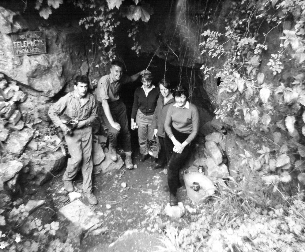
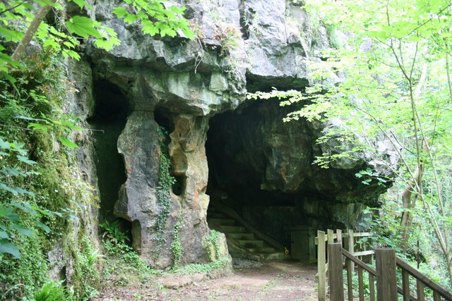
Bakers Pit

Bakers Pit is a phreatic maze cave system near Buckfastleigh, Devon, England. It was first opened in 1847 by quarrying activities.Bakers Pit is entered...

Buckfast

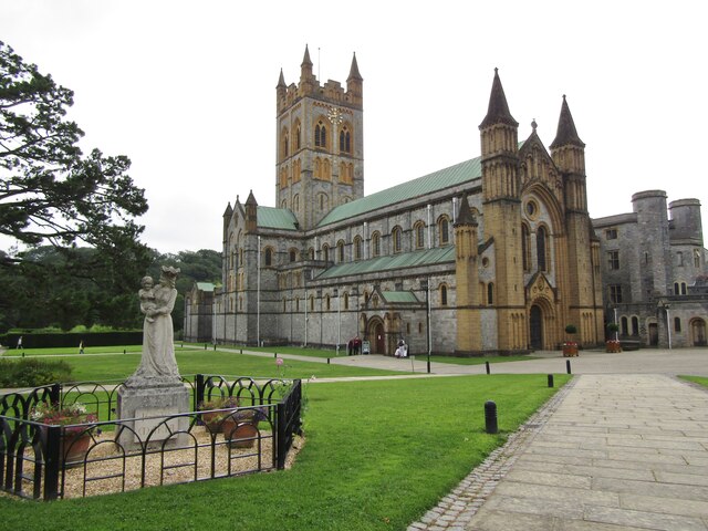
Buckfast is a small village near Buckfastleigh in Teignbridge district, Devon, England, on the bank of the River Dart. It is the home of Buckfast Abbey...

Joint Mitnor Cave

Joint Mitnor Cave, also known as Bone Cave, is a limestone cave situated in the now disused Higher Kiln Quarry near Buckfastleigh, in Devon, England. The...

Nearby Amenities

Located within 500m of 50.485504,-3.7883771
Post Box
Brand: Royal Mail
Brand Wikidata: Q638098
Brand Wikipedia: en:Royal Mail
Collection Times: Mo-Fr 09:00; Sa 07:00; Su off
Operator: Royal Mail
Operator Wikidata: Q638098
Post Box Design: 2010_pattern
Post Box Mounting: pier
Post Box Type: lamp
Ref: TQ11 97D
Royal Cypher: EIIR
Royal Cypher Wikidata: Q33102113
Source: survey;streetlevel imagery;aerial imagery
Lat/Long: 50.4842616/-3.7875503
Buckfastleigh Sports Club
Addr City: Teignbridge District
Addr Country: GB
Addr State: England
Addr Street: Oaklands Road
Leisure: sports_centre
Wheelchair: limited
Lat/Long: 50.4882572/-3.7918873
Glebelands
Is In: Devon, England, UK
Place: neighbourhood
Source: OS_OpenData_OpenNames
Lat/Long: 50.4852259/-3.7851736
Higher Town
Is In: Devon, England, UK
Place: neighbourhood
Source: OS_OpenData_OpenNames
Lat/Long: 50.4854912/-3.7883977
Generator Method: photovoltaic
Generator Output Electricity: yes
Generator Source: solar
Generator Type: solar_photovoltaic_panel
Location: roof
Power: generator
Lat/Long: 50.4816464/-3.7847611
Generator Method: photovoltaic
Generator Output Electricity: yes
Generator Source: solar
Generator Type: solar_photovoltaic_panel
Location: roof
Power: generator
Lat/Long: 50.483698/-3.784289
Generator Method: photovoltaic
Generator Output Electricity: yes
Generator Source: solar
Generator Type: solar_photovoltaic_panel
Location: roof
Power: generator
Lat/Long: 50.4833311/-3.7849596
Generator Method: photovoltaic
Generator Output Electricity: yes
Generator Source: solar
Generator Type: solar_photovoltaic_panel
Location: roof
Power: generator
Lat/Long: 50.4841145/-3.7888756
Generator Method: photovoltaic
Generator Output Electricity: yes
Generator Source: solar
Generator Type: solar_photovoltaic_panel
Location: roof
Power: generator
Lat/Long: 50.4841008/-3.7886127
Generator Method: photovoltaic
Generator Output Electricity: yes
Generator Source: solar
Generator Type: solar_photovoltaic_panel
Location: roof
Power: generator
Lat/Long: 50.4844882/-3.7885886
Generator Method: photovoltaic
Generator Output Electricity: yes
Generator Source: solar
Generator Type: solar_photovoltaic_panel
Location: roof
Power: generator
Lat/Long: 50.4849763/-3.7878242
Generator Method: photovoltaic
Generator Output Electricity: yes
Generator Source: solar
Generator Type: solar_photovoltaic_panel
Location: roof
Power: generator
Lat/Long: 50.484961/-3.7876605
Generator Method: photovoltaic
Generator Output Electricity: yes
Generator Source: solar
Generator Type: solar_photovoltaic_panel
Location: roof
Power: generator
Lat/Long: 50.4850011/-3.7884478
Generator Method: photovoltaic
Generator Output Electricity: yes
Generator Source: solar
Generator Type: solar_photovoltaic_panel
Location: roof
Power: generator
Lat/Long: 50.4848033/-3.7830592
Generator Method: photovoltaic
Generator Output Electricity: yes
Generator Source: solar
Generator Type: solar_photovoltaic_panel
Location: roof
Power: generator
Lat/Long: 50.4843688/-3.7826743
Generator Method: photovoltaic
Generator Output Electricity: yes
Generator Source: solar
Generator Type: solar_photovoltaic_panel
Location: roof
Power: generator
Lat/Long: 50.4813994/-3.7864927
Generator Method: photovoltaic
Generator Output Electricity: yes
Generator Source: solar
Generator Type: solar_photovoltaic_panel
Location: roof
Power: generator
Lat/Long: 50.4860034/-3.7864631
Generator Method: photovoltaic
Generator Output Electricity: yes
Generator Source: solar
Generator Type: solar_photovoltaic_panel
Location: roof
Power: generator
Lat/Long: 50.4854753/-3.7863012
Generator Method: photovoltaic
Generator Output Electricity: yes
Generator Source: solar
Generator Type: solar_photovoltaic_panel
Location: roof
Power: generator
Lat/Long: 50.4845683/-3.7864789
Generator Method: photovoltaic
Generator Output Electricity: yes
Generator Source: solar
Generator Type: solar_photovoltaic_panel
Location: roof
Power: generator
Lat/Long: 50.48457/-3.786546
Generator Method: photovoltaic
Generator Output Electricity: yes
Generator Source: solar
Generator Type: solar_photovoltaic_panel
Location: roof
Power: generator
Lat/Long: 50.4840767/-3.7860417
Generator Method: photovoltaic
Generator Output Electricity: yes
Generator Source: solar
Generator Type: solar_photovoltaic_panel
Location: roof
Power: generator
Lat/Long: 50.48386/-3.7860873
Generator Method: photovoltaic
Generator Output Electricity: yes
Generator Source: solar
Generator Type: solar_photovoltaic_panel
Location: roof
Power: generator
Lat/Long: 50.4832678/-3.7851914
Generator Method: photovoltaic
Generator Output Electricity: yes
Generator Source: solar
Generator Type: solar_photovoltaic_panel
Location: roof
Power: generator
Lat/Long: 50.4844223/-3.7891138
Post Box
Brand: Royal Mail
Brand Wikidata: Q638098
Brand Wikipedia: en:Royal Mail
Collection Times: Mo-Fr 09:00; Sa 07:00; Su off
Operator: Royal Mail
Operator Wikidata: Q638098
Post Box Design: type_b
Post Box Mounting: brick_pillar
Post Box Type: wall
Ref: TQ11 110D
Royal Cypher: GVIR
Royal Cypher Wikidata: Q33102169
Source: survey;streetlevel imagery;aerial imagery
Lat/Long: 50.4854827/-3.7854848
Booth: K6
Covered: booth
Man Made: telephone_box
Lat/Long: 50.4854611/-3.7854655
The data included in this document is from www.openstreetmap.org. The data is made available under ODbL.

Have you been to Higher Town?

Leave your review of Higher Town below (or comments, questions and feedback).