Buckholt
Civil Parish in Hampshire Test Valley
England
Buckholt

Buckholt is a civil parish located in the county of Hampshire, England. Situated in the South East of England, Buckholt is part of the Test Valley district. The parish covers an area of approximately 5 square miles and is home to a small population.
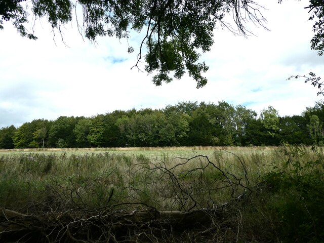
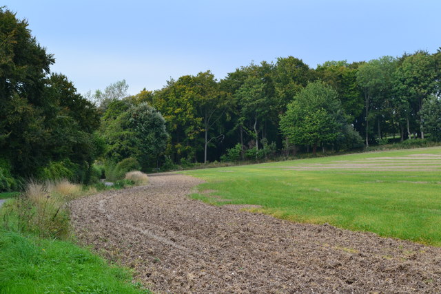
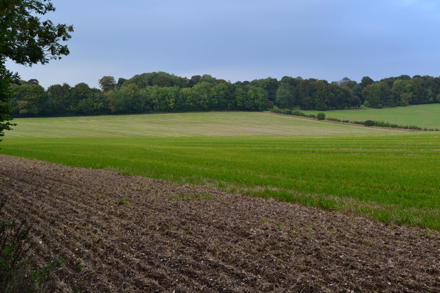
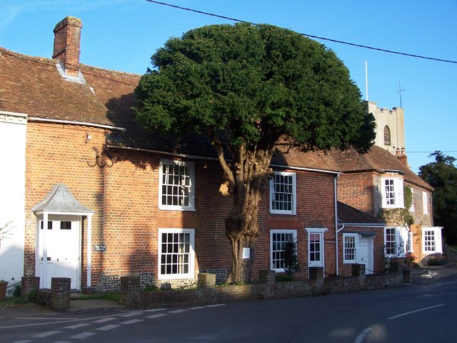
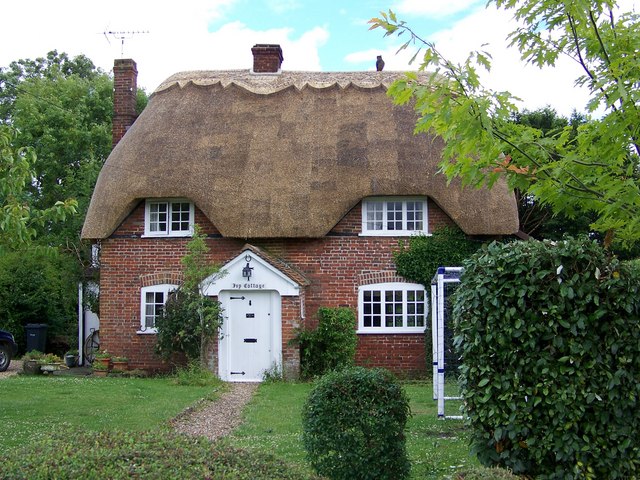
The village of Buckholt itself is a charming rural settlement, characterized by its picturesque countryside and quaint cottages. Surrounded by rolling hills and lush green fields, the area is known for its natural beauty and tranquility. The parish is nestled in the heart of the Hampshire countryside, offering residents and visitors a peaceful and idyllic setting.
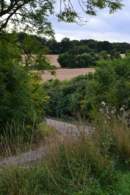
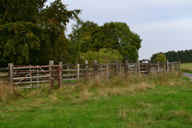
The economy of Buckholt is primarily agricultural, with farming and livestock playing a significant role in the local industry. The fertile land in the area allows for successful crop cultivation, and the farming community contributes to the overall rural character of the parish.
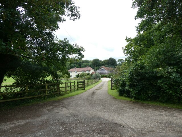
Buckholt is also known for its strong sense of community, with various activities and events organized throughout the year. The parish has a local village hall that serves as a hub for social gatherings, meetings, and celebrations.
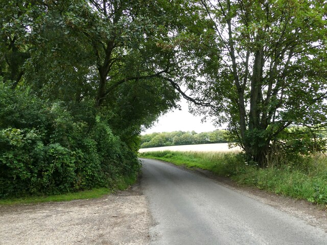
In terms of amenities, Buckholt has limited facilities within the village itself, with most residents relying on nearby towns for services such as shops, schools, and healthcare facilities. The parish is well-connected to neighboring areas through a network of roads, making it accessible to those looking to explore the surrounding countryside.
Overall, Buckholt offers a peaceful and rural lifestyle, with a close-knit community and stunning natural surroundings. It is an ideal destination for those seeking a quiet retreat in the Hampshire countryside.
If you have any feedback on the listing, please let us know in the comments section below.
Buckholt Images
Images are sourced within 2km of 51.092161/-1.601288 or Grid Reference SU2832. Thanks to Geograph Open Source API. All images are credited.


Buckholt is located at Grid Ref: SU2832 (Lat: 51.092161, Lng: -1.601288)
Administrative County: Hampshire
District: Test Valley
Police Authority: Hampshire
What 3 Words
///ballooned.sofas.reserves. Near Middle Winterslow, Wiltshire
Nearby Locations
Related Wikis

Buckholt, Hampshire
Buckholt is a hamlet and civil parish in the Test Valley district of Hampshire, England, close to the border with Wiltshire. According to the 2001 census...

Broughton Down
Broughton Down is a 45.8-hectare (113-acre) biological Site of Special Scientific Interest west of Broughton in Hampshire. The eastern half is a nature...
Broughton, Hampshire
Broughton is a village and civil parish in the Test Valley district of Hampshire, England, about 10 miles (16 km) north of Romsey. The Manor of Broughton...

West Tytherley
West Tytherley is a village and civil parish in the Test Valley district of Hampshire, England. Its nearest town is Stockbridge, which lies approximately...

Ashleys Copse
Ashley's Copse is the site of an Iron Age hillfort, about 8 miles (13 km) northeast of the city of Salisbury, England, straddling the border between the...
East Tytherley
East Tytherley is a small village in Hampshire, England.The name Tytherley comes from Old English and means thin or tender wood.The village was given to...
Winterslow
Winterslow is a civil parish with a population of around 2,000, about 6 miles (10 km) northeast of Salisbury in Wiltshire, England, and lying south of...
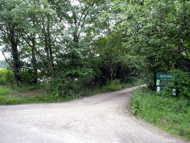
Bentley Wood
Bentley Wood (grid reference SU250295), together with the adjacent Blackmoor Copse, form one of the largest contiguous areas of woodland in Wiltshire,...
Nearby Amenities
Located within 500m of 51.092161,-1.601288Have you been to Buckholt?
Leave your review of Buckholt below (or comments, questions and feedback).