Bretherton
Civil Parish in Lancashire Chorley
England
Bretherton

Bretherton is a civil parish located in the county of Lancashire, in the northwest region of England. It is situated approximately 9 miles southwest of the city of Preston and covers an area of around 6.5 square miles. The parish is bordered by the River Douglas to the west, and the towns of Croston and Mawdesley to the north and south respectively.
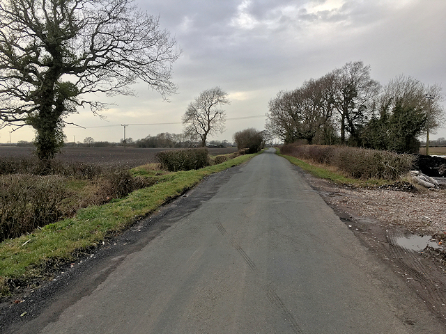
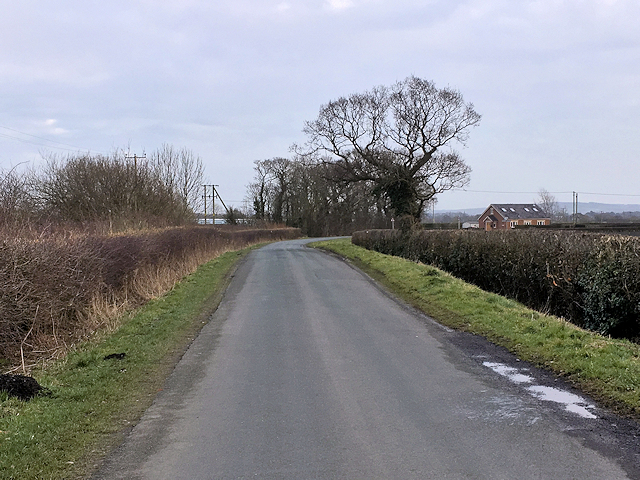
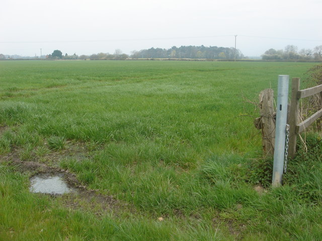
Bretherton is known for its picturesque countryside, with rolling hills and farmland dominating the landscape. The area is renowned for its agricultural heritage, with farming playing a significant role in the local economy. The village itself is small, with a population of around 1,000 people according to the latest census.
The village of Bretherton boasts a number of amenities for its residents, including a primary school, a village hall, and a local pub. The parish also has a strong sense of community, with various social and recreational activities available for residents to participate in.
One of the notable landmarks in Bretherton is St. John the Baptist Church, a Grade II listed building that dates back to the 19th century. The church serves as a focal point for the community and holds regular services and events throughout the year.
Overall, Bretherton is a charming rural parish that offers a peaceful and idyllic lifestyle for its residents, while also providing easy access to nearby urban centers and amenities.
If you have any feedback on the listing, please let us know in the comments section below.
Bretherton Images
Images are sourced within 2km of 53.677951/-2.793525 or Grid Reference SD4720. Thanks to Geograph Open Source API. All images are credited.


Bretherton is located at Grid Ref: SD4720 (Lat: 53.677951, Lng: -2.793525)
Administrative County: Lancashire
District: Chorley
Police Authority: Lancashire
What 3 Words
///eruptions.strapped.showdown. Near Croston, Lancashire
Nearby Locations
Related Wikis

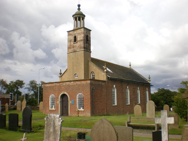
St John the Baptist's Church, Bretherton
St John the Baptist's Church is in the village of Bretherton, Lancashire, England. It is an active Anglican parish church in the deanery of Chorley, the...

Bretherton
Bretherton is a small village and civil parish in the Borough of Chorley, Lancashire, England, situated to the south west of Leyland and east of Tarleton...
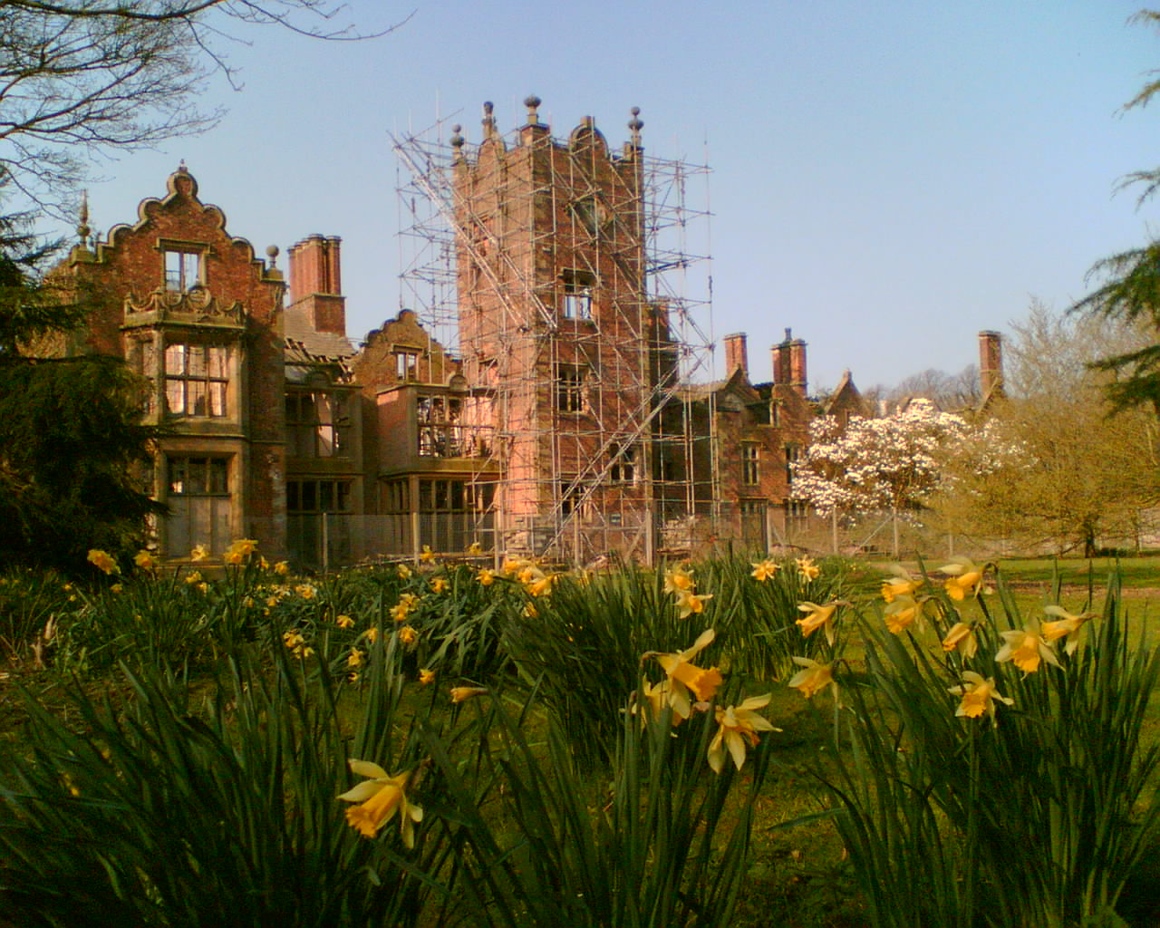
Bank Hall
Bank Hall is a Jacobean mansion in Bretherton, Lancashire, England. It is a Grade II* listed building and is at the centre of a private estate, surrounded...
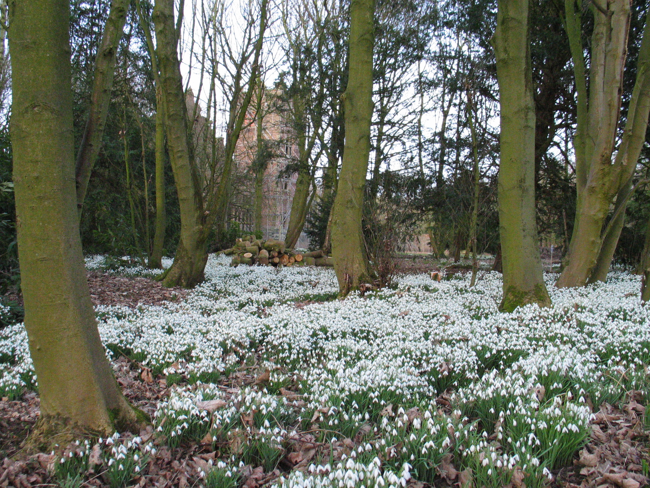
Bank Hall Gardens
Bank Hall Gardens comprise 18 acres (73,000 m2) of curtilage at Bank Hall, in Bretherton, Lancashire, England. The gardens contain specimen trees including...
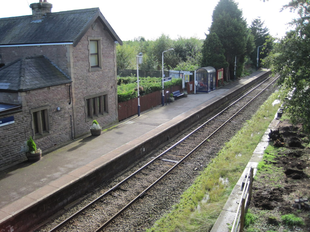
Croston railway station
Croston railway station serves the small village of Croston, near Chorley in Lancashire, England; the station is on the Ormskirk Branch Line 7 miles...

River Lostock
The River Lostock is a river in Lancashire, England. The source of the Lostock is at the confluence of Slack Brook and Whave's Brook at the entrance to...
St Mary's Church, Tarleton
St Mary's Church is a redundant Anglican church on the A59 road as it passes to the south of the village of Tarleton, Lancashire, England. It is recorded...
Croston
Croston is a village and civil parish near Chorley in Lancashire, England. The River Yarrow flows through the village. The population of the civil parish...
Nearby Amenities
Located within 500m of 53.677951,-2.793525Have you been to Bretherton?
Leave your review of Bretherton below (or comments, questions and feedback).