Bretforton

Civil Parish in Worcestershire Wychavon

England

Bretforton

Ploughed field north east of Weston Road Recently ploughed field off the B4035 Weston Road.
Ploughed field north east of Weston Road Credit: David P Howard

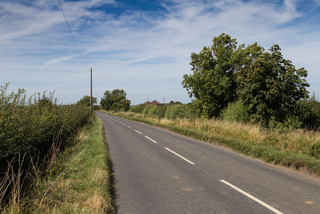
Bretforton is a civil parish located in Worcestershire, England. Situated approximately 10 miles southeast of the city of Worcester, it lies within the Vale of Evesham, an area known for its picturesque countryside and agricultural heritage.

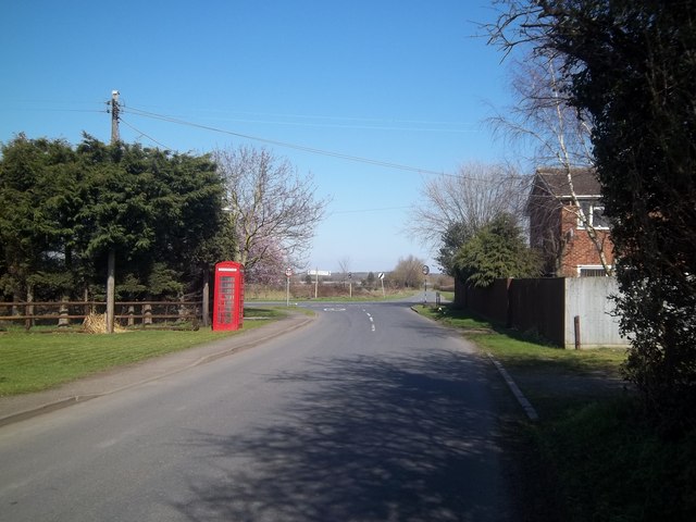
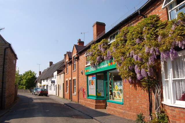
The village of Bretforton is a quintessential English village, characterized by its charming thatched cottages and historic buildings. It is most famous for being the home of the National Trust-owned Fleece Inn, a traditional 15th-century pub that is a popular destination for locals and tourists alike.

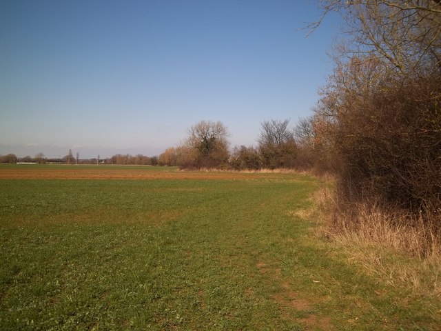
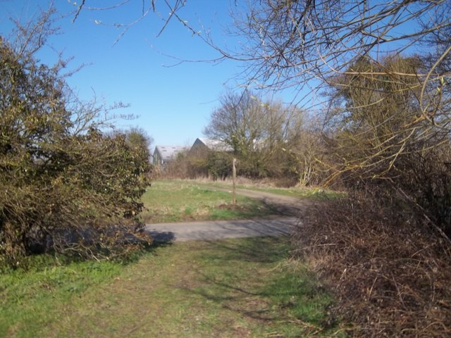
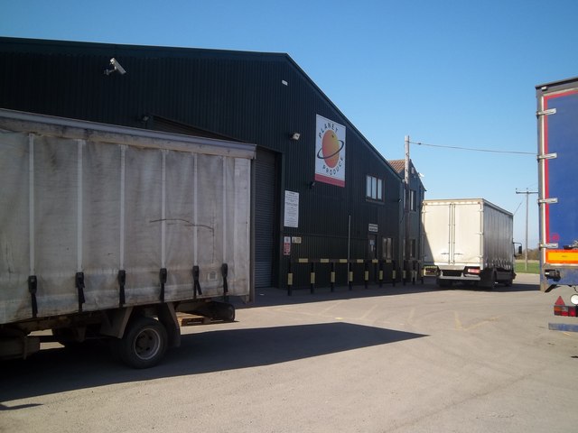
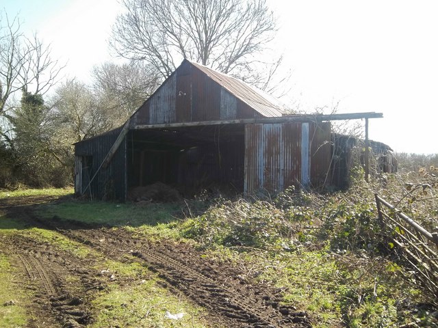
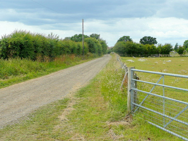
The parish is surrounded by rolling hills and fertile farmland, with the River Avon running through its eastern boundary. The area is predominantly rural, with agriculture playing a significant role in the local economy. Fields of crops and orchards can be seen throughout the parish, particularly apple orchards, which are known for producing the renowned Evesham apples.

Bretforton also has a strong sense of community, with various social and recreational activities taking place throughout the year. The village hosts an annual asparagus auction, which has become a popular event attracting visitors from far and wide. Additionally, it has a primary school, a village hall, and a church, all serving as focal points for the community.

Overall, Bretforton offers a peaceful and idyllic setting, combining natural beauty with a rich history and a strong community spirit. It provides an ideal retreat for those seeking a tranquil countryside escape, while still being within easy reach of nearby urban centers.

If you have any feedback on the listing, please let us know in the comments section below.

Bretforton Images

Images are sourced within 2km of 52.093234/-1.868262 or Grid Reference SP0943. Thanks to Geograph Open Source API. All images are credited.

Ploughed field north east of Weston Road Recently ploughed field off the B4035 Weston Road.
Ploughed field north east of Weston Road
Recently ploughed field off the B4035 Weston Road.
Bretforton Road View north west along the road out of Honeybourne.
Bretforton Road
View north west along the road out of Honeybourne.
Long Lartin Prison Distant view looking west from Sheenhill Road, towards the maximum security prison of Long Lartin.
Long Lartin Prison
Distant view looking west from Sheenhill Road, towards the maximum security prison of Long Lartin.
Track into a Nursery An extensive area of polytunnel cultivation along Bretforton Road.
Track into a Nursery
An extensive area of polytunnel cultivation along Bretforton Road.
Along Bretforton Road Another of the numerous footpaths in this square heads off into the polytunnels which are also a feature of the area.
Along Bretforton Road
Another of the numerous footpaths in this square heads off into the polytunnels which are also a feature of the area.
Weston Road, Bretforton The B4035 between Bretforton and Weston-sub-Edge.
Weston Road, Bretforton
The B4035 between Bretforton and Weston-sub-Edge.
Farmland near Bretforton
Farmland along Gloster Ades Road Quite a normal landscape. Quite an unusual road name.
Farmland along Gloster Ades Road
Quite a normal landscape. Quite an unusual road name.
Weston Road, Bretforton
Field by Weston Road, Bretforton
Towards Bretforton The footpath from Willersey continues to follow the stream towards Bretforton.
Towards Bretforton
The footpath from Willersey continues to follow the stream towards Bretforton.
Across the road The footpath crosses Stoneford Lane.
Across the road
The footpath crosses Stoneford Lane.
Stoneford Barn Doubtless once used for agricultural produce, the barn is now surrounded by elderly vehicles some of which have obviously not moved for some considerable time.
Stoneford Barn
Doubtless once used for agricultural produce, the barn is now surrounded by elderly vehicles some of which have obviously not moved for some considerable time.
Produce store Three large warehouse type buildings make up this produce storage facility for Planet Produce.
Produce store
Three large warehouse type buildings make up this produce storage facility for Planet Produce.
Stoneford Lane meets Weston Road The continuation of the lane on the other side of Weston Road (B4035) is named Gloster Ades Road.
Stoneford Lane meets Weston Road
The continuation of the lane on the other side of Weston Road (B4035) is named Gloster Ades Road.
Still standing This elderly farm building is falling down but still upright unlike the nearby one <a href="https://www.geograph.org.uk/photo/2359201">SP1043 : Not still standing</a>.
Still standing
This elderly farm building is falling down but still upright unlike the nearby one SP1043 : Not still standing.
Not an easy footpath This public right of way near Bretforton would appear to cut straight across rows of polytunnels in a semi-derelict state.
Not an easy footpath
This public right of way near Bretforton would appear to cut straight across rows of polytunnels in a semi-derelict state.
Sands Lane Also a bridleway, looking towards Badsey.
Sands Lane
Also a bridleway, looking towards Badsey.
Show me another place!

Bretforton is located at Grid Ref: SP0943 (Lat: 52.093234, Lng: -1.868262)

Administrative County: Worcestershire

District: Wychavon

Police Authority: West Mercia

What 3 Words

///paces.marathon.edit. Near Badsey, Worcestershire

Related Wikis

The Fleece Inn

The Fleece Inn is a pub in Bretforton, in the Vale of Evesham, Worcestershire, England: the half-timbered building, over six hundred years old, has been...

Bretforton

Bretforton is a rural village in Worcestershire, England, 4.4 miles (7.1 km) east of Evesham, in the Vale of Evesham. It is the largest farming village...

HM Prison Long Lartin

HM Prison Long Lartin is a Category A men's prison, located in the village of South Littleton (near Evesham) in the Wychavon district in Worcestershire...

Littleton and Badsey railway station

Littleton and Badsey railway station was a station on the Great Western Railway's Oxford, Worcester and Wolverhampton line, near the town of Evesham, Worcestershire...

Blackminster

Blackminster is a Hamlet in Worcestershire, England. Features include a large middle school, haulage and horticultural produce companies. Littleton and...

Badsey

Badsey is a village and civil parish in the Wychavon district of Worcestershire, England. It has two parks and a small first school located in the centre...

RAF Honeybourne

Royal Air Force Honeybourne, or more simply RAF Honeybourne, was a Royal Air Force station located 0.6 miles (0.97 km) south of Honeybourne, Worcestershire...

Honeybourne railway station

Honeybourne railway station serves the village of Honeybourne in Worcestershire, England. Opened in 1853, it is on the Cotswold Line and was formerly a...

Nearby Amenities

Located within 500m of 52.093234,-1.868262
Bretforton
Place: village
Source: NPE
Wikidata: Q4961998
Lat/Long: 52.0937472/-1.8707827
Bus Stop
Coldicotts Lane
Bus: yes
Naptan AtcoCode: 2000G086500
Naptan Bearing: NE
Naptan CommonName: Coldicotts Lane
Naptan Indicator: Adj
Naptan NaptanCode: wocdjpwd
Naptan Street: Coldicotts Lane
Naptan Verified: no
Public Transport: platform
Source: naptan_import
Lat/Long: 52.0964666/-1.8709782
Bus Stop
Victoria Arms
Bus: yes
Naptan AtcoCode: 2000G086501
Naptan Bearing: NW
Naptan CommonName: Victoria Arms
Naptan Crossing: Drinkwater Lane
Naptan Indicator: Adj
Naptan Landmark: Victoria Arms Inn
Naptan NaptanCode: wocdjpwg
Naptan Street: Main Street
Naptan Verified: no
Public Transport: platform
Source: naptan_import
Lat/Long: 52.0947952/-1.870921
Bus Stop
Bus: yes
Naptan AtcoCode: 2000G086502
Naptan NaptanCode: wocgtjtd
Public Transport: platform
Lat/Long: 52.0930083/-1.8642485
Booth: K6
Removed Amenity: telephone
Lat/Long: 52.0960312/-1.8694834
Barrier: stile
Lat/Long: 52.0942051/-1.8726296
Barrier: stile
Lat/Long: 52.0931847/-1.871268
Barrier: stile
Lat/Long: 52.0911921/-1.8692478
Barrier: stile
Lat/Long: 52.0920514/-1.8689243
Post Box
Collection Times: Mo-Fr 17:00; Sa 10:15; Su off
Post Box Type: wall
Ref: WR11 34
Royal Cypher: VR
Royal Cypher Wikidata: Q33102356
Lat/Long: 52.0943433/-1.8694495
Post Box
Collection Times: Mo-Fr 17:00; Sa 10:15; Su off
Post Box Type: wall
Ref: WR11 60
Royal Cypher: EIIR
Royal Cypher Wikidata: Q33102113
Lat/Long: 52.092234/-1.8642895
Bretforton Memorial Hall
Inscription: THIS HALL WAS BUILD IN MEMORY OF THE MEN OF BRETFORTON WHO GAVE THEIR LIVES IN THE GREAT WAR ...
Memorial: war_memorial
Lat/Long: 52.0941806/-1.8692413
Post Office
Bretforton Mobile Post Office Service
Addr City: Evesham
Addr Housename: Bretforton Sports Club
Addr Postcode: WR11 7HX
Addr Street: Station Road
Addr Village: Bretforton
Note: This is one of two mobile post office locations in the village
Opening Hours: Mo,Fr 15:00-16:30
Ref Pol Id: 124352
Source: pol_branch_list_2018-01
Lat/Long: 52.0966786/-1.8715353
Post Office
Bretforton Mobile Post Office Service
Addr City: Evesham
Addr Housename: British Legion Car Park
Addr Postcode: WR11 7JH
Addr Street: Main Street
Addr Village: Bretforton
Brand: Post Office
Brand Wikidata: Q1783168
Note: This is one of two mobile post office locations in the village
Opening Hours: We 15:00-16:30
Ref Pol Id: 127167
Source: pol_branch_list_2018-01
Website: https://www.postoffice.co.uk/branch-finder/7092474/bretforton-stop-1-mobile-service
Lat/Long: 52.09344/-1.86589
Turning Loop
Lat/Long: 52.097373/-1.8682087
Defibrillator
Defibrillator Location: outside Bretforton Sports Club
Emergency: defibrillator
Indoor: no
Lat/Long: 52.0966277/-1.8718073
Bretforton
Power: pole
Transformer: distribution
Voltage Primary: 11000
Lat/Long: 52.0944915/-1.8726861
Power: pole
Lat/Long: 52.095542/-1.8743987
Power: pole
Lat/Long: 52.0950889/-1.8741252
Power: pole
Lat/Long: 52.0941191/-1.8736142
Power: pole
Lat/Long: 52.093736/-1.8745905
Power: pole
Lat/Long: 52.0930167/-1.8736812
Power: pole
Lat/Long: 52.092299/-1.8727619
Bretforton Manor
Power: pole
Transformer: distribution
Voltage Primary: 11000
Lat/Long: 52.0936668/-1.8692704
Power: pole
Lat/Long: 52.0933916/-1.8703305
Power: pole
Lat/Long: 52.093144/-1.8712854
Power: pole
Lat/Long: 52.092269/-1.8715301
Power: pole
Lat/Long: 52.0914998/-1.8717514
Power: pole
Lat/Long: 52.0907516/-1.8708341
Power: pole
Lat/Long: 52.0899976/-1.8698732
Power: pole
Lat/Long: 52.089242/-1.8689492
Bretforton Church
Power: pole
Transformer: distribution
Voltage Primary: 11000
Lat/Long: 52.0909914/-1.8668175
Power: pole
Lat/Long: 52.0902869/-1.8673271
Power: pole
Lat/Long: 52.0895576/-1.8678555
Power: pole
Lat/Long: 52.0890607/-1.8681398
Power: pole
Lat/Long: 52.08883/-1.8670495
Power: pole
Lat/Long: 52.097568/-1.8668155
Power: pole
Lat/Long: 52.0968619/-1.8656293
Walfords Pumping Station
Power: pole
Transformer: distribution
Voltage Primary: 11000
Lat/Long: 52.0966077/-1.8652356
Power: pole
Lat/Long: 52.0963684/-1.864842
Power: pole
Lat/Long: 52.0961871/-1.8633078
Power: pole
Lat/Long: 52.0956545/-1.8641882
Power: pole
Lat/Long: 52.0948652/-1.8634821
Power: pole
Lat/Long: 52.0943515/-1.8630181
Power: pole
Lat/Long: 52.093516/-1.8622564
Bretforton School
Power: pole
Transformer: distribution
Voltage Primary: 11000
Lat/Long: 52.0926649/-1.8626755
Power: pole
Lat/Long: 52.0930888/-1.8618661
Power: pole
Lat/Long: 52.0926323/-1.8614645
The data included in this document is from www.openstreetmap.org. The data is made available under ODbL.

Have you been to Bretforton?

Leave your review of Bretforton below (or comments, questions and feedback).