Brampton Bryan
Civil Parish in Herefordshire
England
Brampton Bryan
Brampton Bryan is a civil parish located in the county of Herefordshire, England. Situated on the border with Shropshire, the parish covers an area of approximately 7.5 square miles and is home to a small population of around 200 residents.
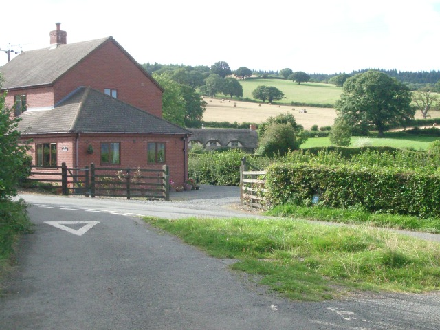
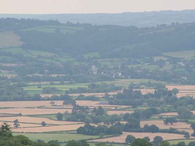
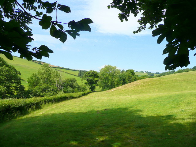
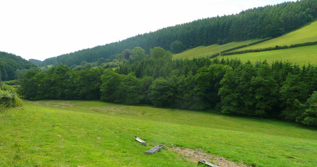
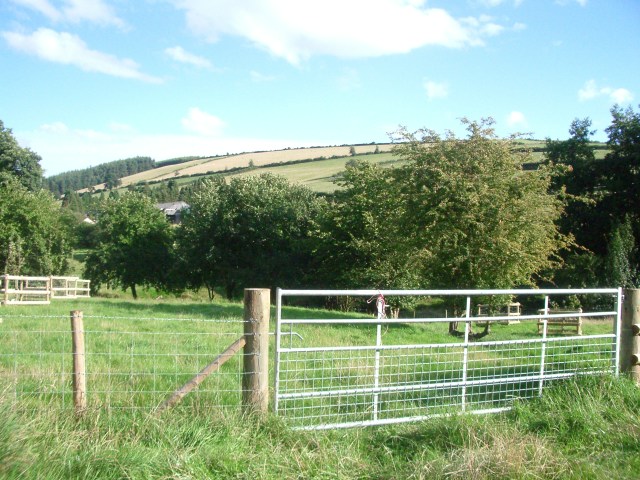
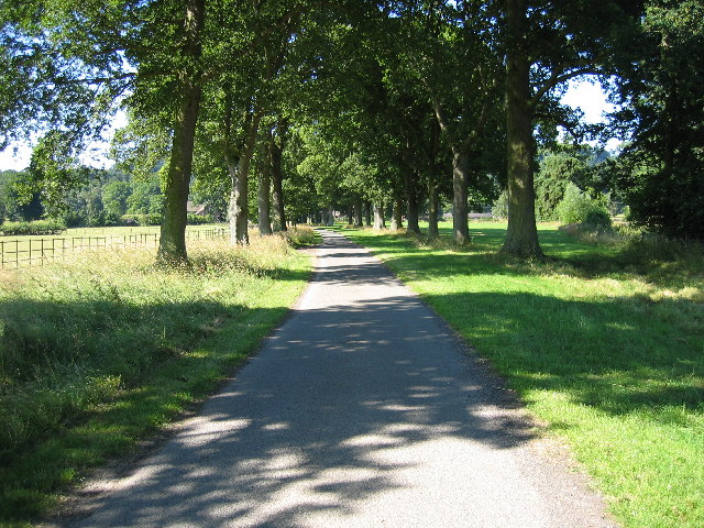
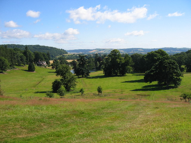
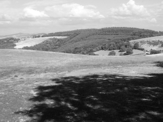
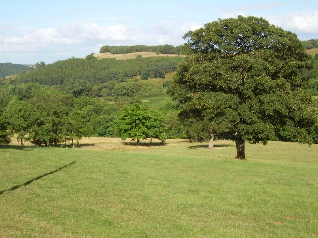
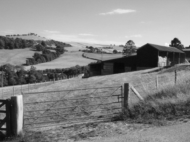
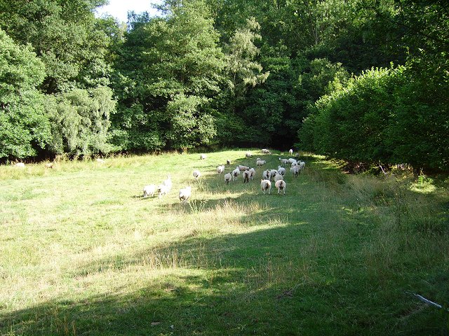
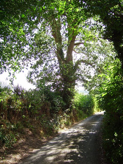
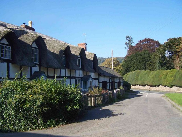
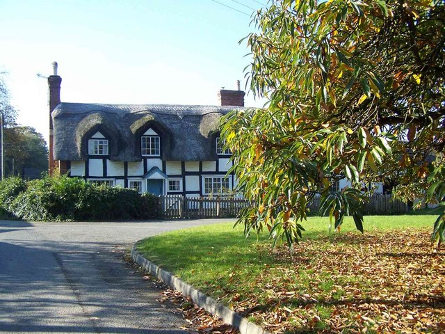
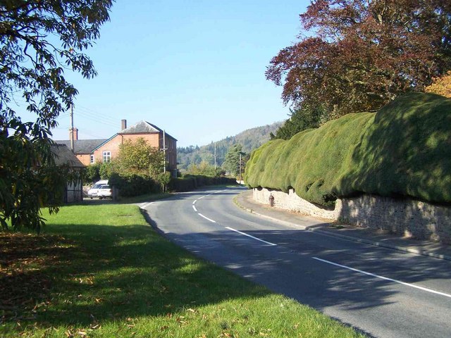
The village of Brampton Bryan is the main settlement within the parish and is known for its picturesque charm and historical significance. The village is nestled in the beautiful countryside, with rolling hills and lush green fields surrounding the area. The River Teme flows through the parish, adding to its natural beauty.
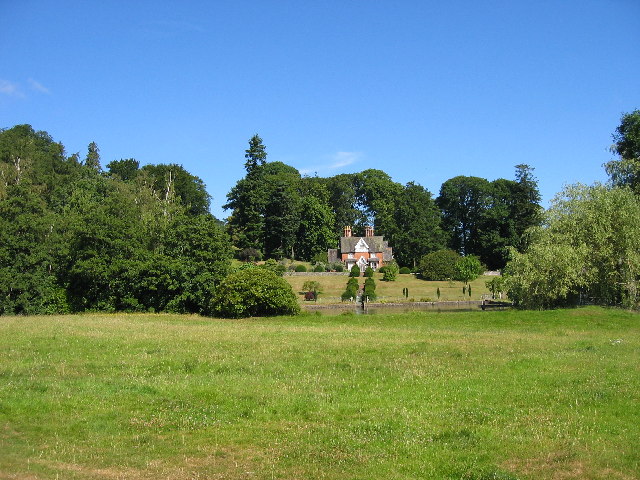
At the heart of Brampton Bryan is Brampton Bryan Hall, a Grade I listed building and one of the most notable landmarks in the area. The hall dates back to the 17th century and boasts stunning Jacobean architecture. It is privately owned and not open to the public, but its impressive exterior can still be admired from afar.
The parish also features St. Barnabas Church, a small but charming place of worship that dates back to the 13th century. The church is renowned for its beautiful stained glass windows and peaceful atmosphere.
Brampton Bryan offers a peaceful and idyllic rural lifestyle, with a strong sense of community among its residents. The surrounding countryside provides ample opportunities for outdoor activities such as hiking, cycling, and fishing, making it an attractive destination for nature enthusiasts.
In summary, Brampton Bryan is a quaint and historic civil parish in Herefordshire, known for its natural beauty, architectural heritage, and close-knit community.
If you have any feedback on the listing, please let us know in the comments section below.
Brampton Bryan Images
Images are sourced within 2km of 52.333944/-2.944164 or Grid Reference SO3571. Thanks to Geograph Open Source API. All images are credited.

Brampton Bryan is located at Grid Ref: SO3571 (Lat: 52.333944, Lng: -2.944164)
Unitary Authority: County of Herefordshire
Police Authority: West Mercia
What 3 Words
///mystery.couch.anguished. Near Bucknell, Shropshire
Nearby Locations
Related Wikis
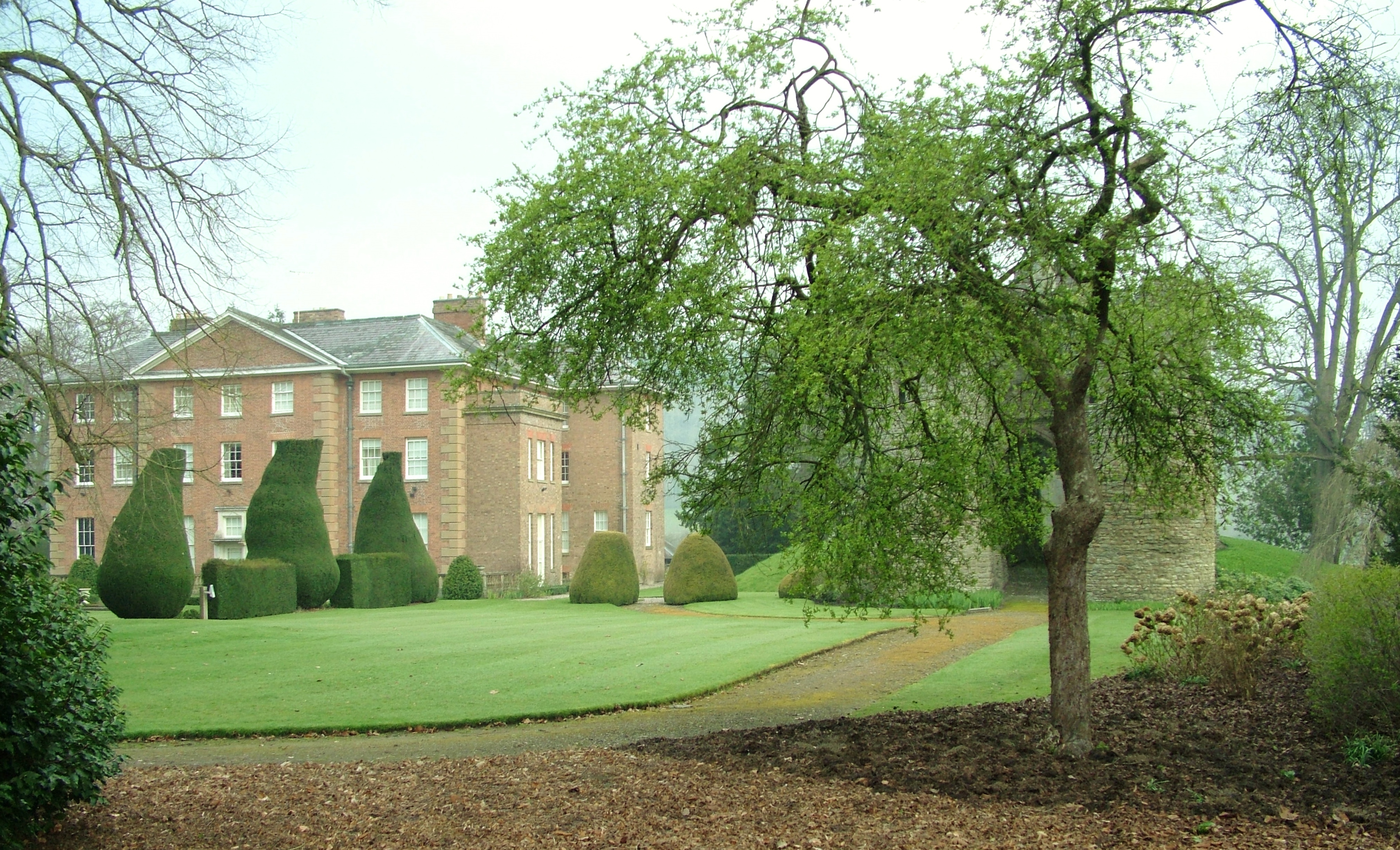
Brampton Bryan Hall
Brampton Bryan Hall is a 17th-century English country house in the village of Brampton Bryan, Herefordshire. It is still owned by the descendants of Robert...

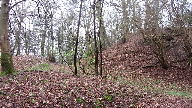
Brampton Bryan Castle
Brampton Bryan Castle is a ruined medieval castle in the small village of Brampton Bryan in north-western Herefordshire, England, 50m south of the River...

Birtley, Herefordshire
Birtley is a hamlet in north Herefordshire, in England. It is situated to the west of Ludlow and Leominster, approximately 16 km (9.9 mi) from both towns...

Brampton Bryan
Brampton Bryan is a small village and civil parish situated in north Herefordshire, England close to the Shropshire and Welsh borders. Brampton Bryan lies...
Coxall Knoll
Coxall Knoll is a hill lying on the boundary of Shropshire and Herefordshire, England; it is near Bucknell in Shropshire and Buckton and Coxall in Herefordshire...

Stanage Park
Stanage Park is a Grade II* listed Welsh country house set in a large park located some 3 miles (4.8 km) east of Knighton, Powys near the settlement of...

Bucknell railway station
Bucknell railway station serves the village of Bucknell in Shropshire, England 28+1⁄4 miles (45.5 km) south west of Shrewsbury on the Heart of Wales Line...

Bucknell, Shropshire
Bucknell is a village and civil parish in south Shropshire, England. The village lies on the River Redlake, within 660 yards (600 m) of the River Teme...
Nearby Amenities
Located within 500m of 52.333944,-2.944164Have you been to Brampton Bryan?
Leave your review of Brampton Bryan below (or comments, questions and feedback).