Brampton with Stoven

Civil Parish in Suffolk East Suffolk

England

Brampton with Stoven

Church of St Margaret, Stoven <span class="nowrap"><a title="https://historicengland.org.uk/listing/the-list/list-entry/1032100?section=official-list-entry" rel="nofollow ugc noopener" href="https://historicengland.org.uk/listing/the-list/list-entry/1032100?section=official-list-entry">Link</a><img style="margin-left:2px;" alt="External link" title="External link - shift click to open in new window" src="https://s1.geograph.org.uk/img/external.png" width="10" height="10"/></span>
Church of St Margaret, Stoven Credit: Sandy Gerrard

Brampton with Stoven is a civil parish located in the county of Suffolk, England. Situated in the East Anglia region, it covers an area of approximately 8.6 square kilometers. The parish is made up of two villages, Brampton and Stoven, which are located about 2 miles apart from each other.

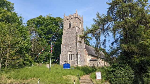
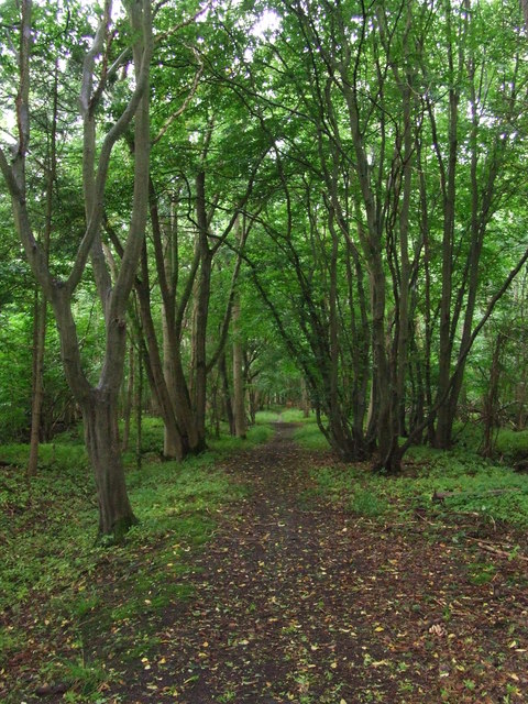
Brampton is a small village with a population of around 300 residents. The village is known for its picturesque countryside surroundings, with rolling hills and lush green fields. It boasts a charming rural atmosphere, offering a peaceful and tranquil environment for its residents.

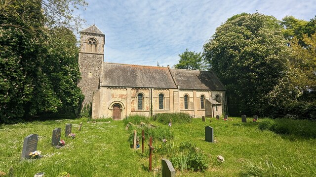
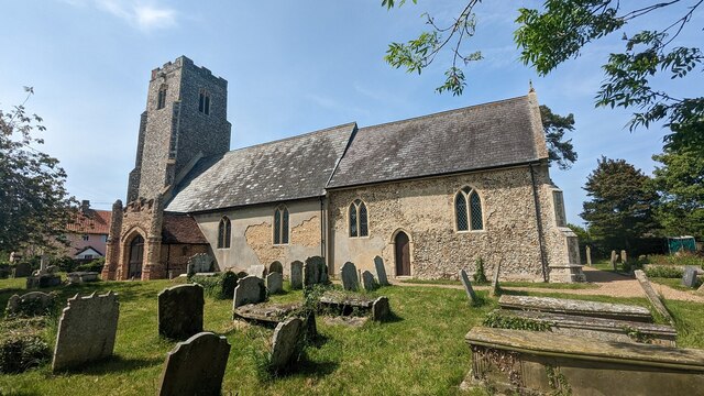
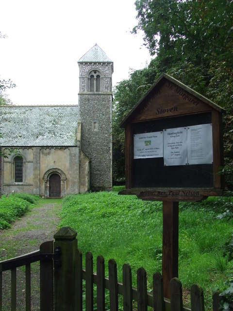
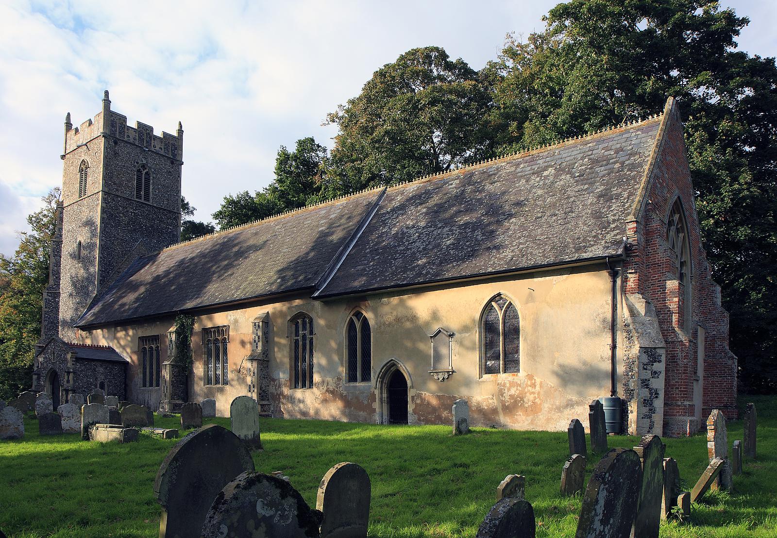
Stoven, on the other hand, is an even smaller village with a population of approximately 150 residents. It is situated close to the River Wang, which adds to the scenic beauty of the area. Stoven is known for its historic architecture, with several traditional buildings and thatched cottages that have been well-preserved over the years.

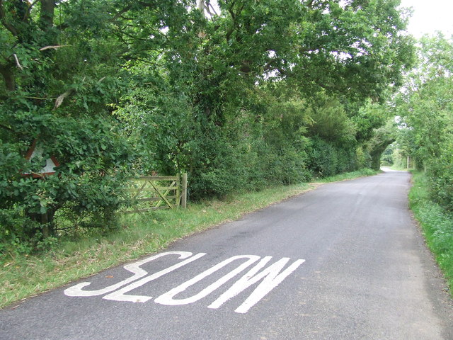
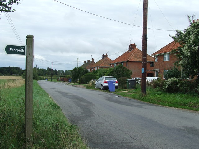
Both villages offer a range of amenities and facilities to cater to the needs of their residents. These include a primary school, a village hall, and a few local shops and businesses. The area is also well-connected to nearby towns and cities, with good transport links.

Overall, Brampton with Stoven is a charming civil parish that offers a peaceful and idyllic countryside living experience. With its beautiful landscapes, historic architecture, and close-knit community, it is a desirable place to reside for those seeking a quiet rural lifestyle.

If you have any feedback on the listing, please let us know in the comments section below.

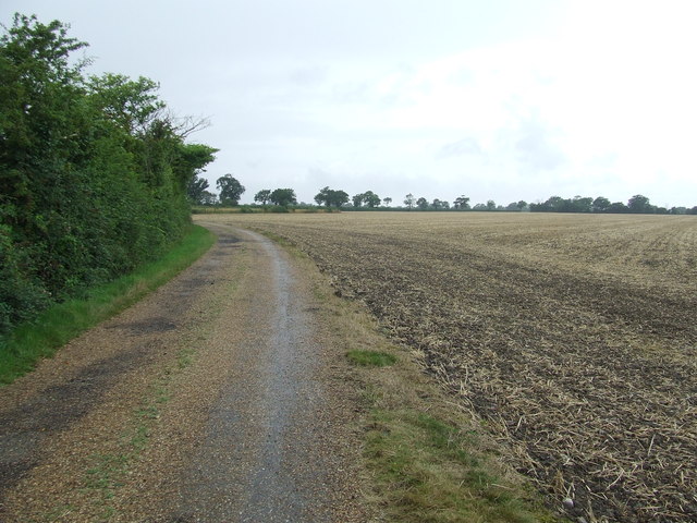
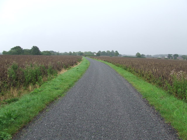
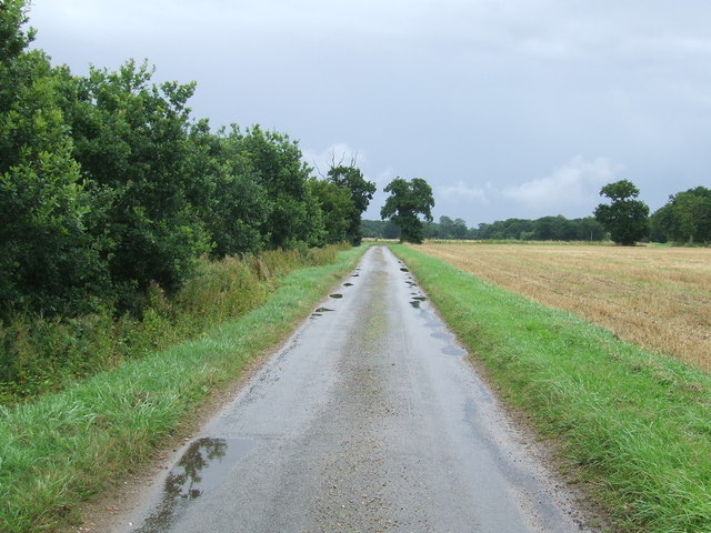
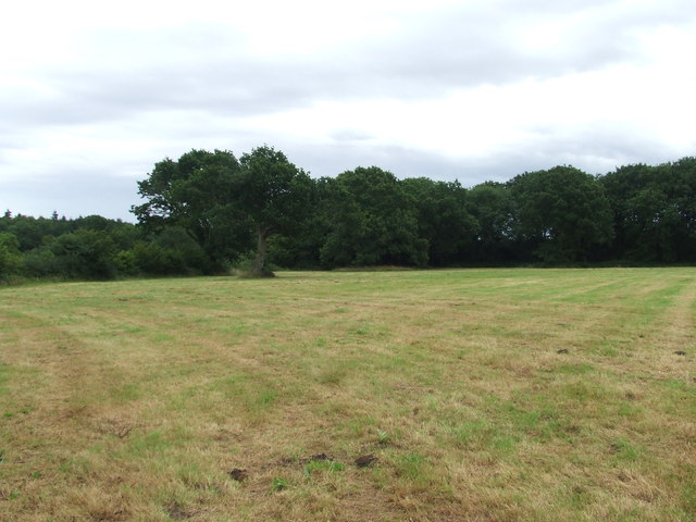
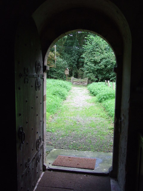
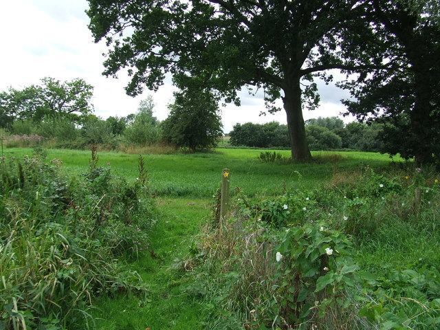
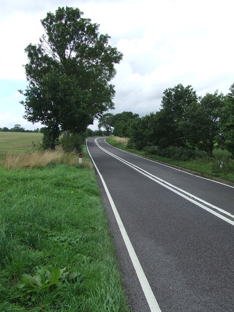
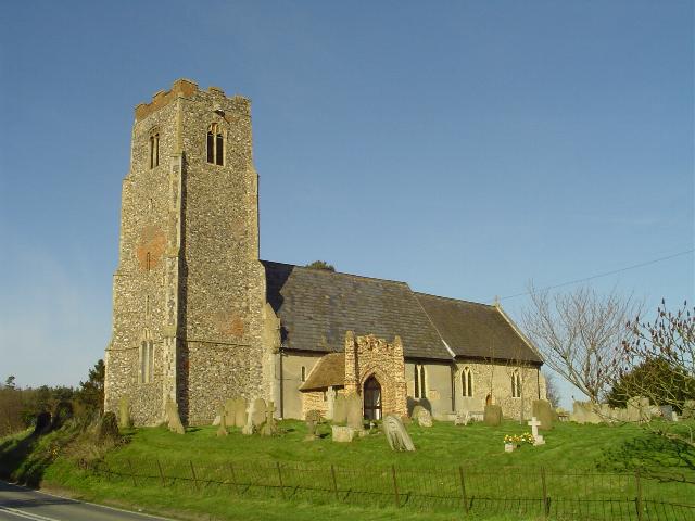
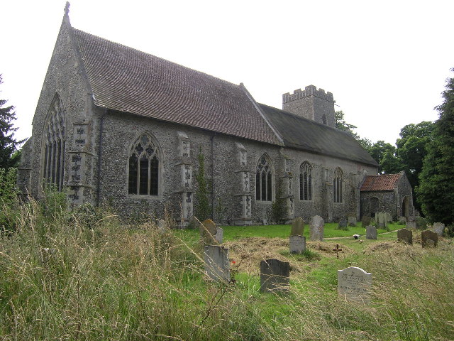
Brampton with Stoven Images

Images are sourced within 2km of 52.384294/1.571923 or Grid Reference TM4382. Thanks to Geograph Open Source API. All images are credited.

Church of St Margaret, Stoven <span class="nowrap"><a title="https://historicengland.org.uk/listing/the-list/list-entry/1032100?section=official-list-entry" rel="nofollow ugc noopener" href="https://historicengland.org.uk/listing/the-list/list-entry/1032100?section=official-list-entry">Link</a><img style="margin-left:2px;" alt="External link" title="External link - shift click to open in new window" src="https://s1.geograph.org.uk/img/external.png" width="10" height="10"/></span>
Church of St Margaret, Stoven
Church of St. John the Baptist, Shadingfield <span class="nowrap"><a title="https://historicengland.org.uk/listing/the-list/list-entry/1183123?section=official-list-entry" rel="nofollow ugc noopener" href="https://historicengland.org.uk/listing/the-list/list-entry/1183123?section=official-list-entry">Link</a><img style="margin-left:2px;" alt="External link" title="External link - shift click to open in new window" src="https://s1.geograph.org.uk/img/external.png" width="10" height="10"/></span>
Church of St. John the Baptist, Shadingfield
Church of St. Peter, Brampton <span class="nowrap"><a title="https://historicengland.org.uk/listing/the-list/list-entry/1352565?section=official-list-entry" rel="nofollow ugc noopener" href="https://historicengland.org.uk/listing/the-list/list-entry/1352565?section=official-list-entry">Link</a><img style="margin-left:2px;" alt="External link" title="External link - shift click to open in new window" src="https://s1.geograph.org.uk/img/external.png" width="10" height="10"/></span>
Church of St. Peter, Brampton
Bacon's Green Road Bacon's Green Road looking east near to Mill Common, Suffolk.
Bacon's Green Road
Bacon's Green Road looking east near to Mill Common, Suffolk.
Footpath Off Low Road Footpath off Low Road looking south near to Mill Common, Suffolk.
Footpath Off Low Road
Footpath off Low Road looking south near to Mill Common, Suffolk.
Open Field Open field as seen from the footpath looking north west near to Mill Common.
Open Field
Open field as seen from the footpath looking north west near to Mill Common.
Slow Warning sign on Station Road near to Brampton Street, Suffolk.
Slow
Warning sign on Station Road near to Brampton Street, Suffolk.
Farm Track And Footpath Farm track and footpath near to Brampton Street, Suffolk.
Farm Track And Footpath
Farm track and footpath near to Brampton Street, Suffolk.
Footpath And Farmers Track Footpath and farmers track looking east near to Shadingfield, Suffolk.
Footpath And Farmers Track
Footpath and farmers track looking east near to Shadingfield, Suffolk.
Minor Road Minor road leading to North End Cottages near to Shadingfield, Suffolk.
Minor Road
Minor road leading to North End Cottages near to Shadingfield, Suffolk.
Common Land Open access common land near to Shadingfield, Suffolk.
Common Land
Open access common land near to Shadingfield, Suffolk.
Path Through Stoven Wood Footpath through Stoven Wood near to Brampton, Suffolk.
Path Through Stoven Wood
Footpath through Stoven Wood near to Brampton, Suffolk.
Footpath Sign Footpath sign of minor road at Stoven, Suffolk.
Footpath Sign
Footpath sign of minor road at Stoven, Suffolk.
St Margaret Stoven The church and church notice board of St Margaret, Stoven, Suffolk for info on the church see <span class="nowrap"><a title="http://www.suffolkchurches.co.uk/stoven.htm" rel="nofollow ugc noopener" href="http://www.suffolkchurches.co.uk/stoven.htm">Link</a><img style="margin-left:2px;" alt="External link" title="External link - shift click to open in new window" src="https://s1.geograph.org.uk/img/external.png" width="10" height="10"/></span>
St Margaret Stoven
The church and church notice board of St Margaret, Stoven, Suffolk for info on the church see LinkExternal link
War Memorial War memorial and roll of honour for the village of Stoven, Suffolk in the village church of St Margaret.
War Memorial
War memorial and roll of honour for the village of Stoven, Suffolk in the village church of St Margaret.
View from the door View from the door of St Margaret, Stoven, Suffolk.
View from the door
View from the door of St Margaret, Stoven, Suffolk.
Turn Right Footpath sign guiding you to the right as seen near to Stoven, Suffolk.
Turn Right
Footpath sign guiding you to the right as seen near to Stoven, Suffolk.
The A145 Looking north along the A145 near to Stoven, Suffolk.
The A145
Looking north along the A145 near to Stoven, Suffolk.
Show me another place!

Brampton with Stoven is located at Grid Ref: TM4382 (Lat: 52.384294, Lng: 1.571923)

Administrative County: Suffolk

District: East Suffolk

Police Authority: Suffolk

What 3 Words

///fled.canoe.falls. Near Halesworth, Suffolk

Related Wikis

Brampton with Stoven

Brampton with Stoven is a civil parish in the East Suffolk district of the English county of Suffolk. It is located 6 miles (9.7 km) south of the town...

Brampton, Suffolk

Brampton is a village and former civil parish, now in the parish of Brampton with Stoven, in the East Suffolk district, in the county of Suffolk, England...

Shadingfield

Shadingfield is a village and civil parish in the East Suffolk district of the English county of Suffolk. It is located around 4 miles (6.4 km) south of...

Stoven

Stoven is a village and former civil parish now in the parish of Brampton with Stoven, in the East Suffolk district of the English county of Suffolk. It...

A145 road

The A145 is an A road in the English county of Suffolk. It runs from east of the town of Beccles, close to the border with Norfolk, to the village of Blythburgh...

Titsal Wood, Shadingfield

Titsal Wood, Shadingfield is a 14.7-hectare (36-acre) biological Site of Special Scientific Interest south-west of Shadingfield in Suffolk.This ancient...

Westhall

Westhall is a village and civil parish in the East Suffolk district, in the county Suffolk, England about 3 miles (5 km) north east of Halesworth, 1 mile...

Brampton railway station (Suffolk)

Brampton railway station is on the East Suffolk Line in the east of England, serving the villages of Brampton, Redisham and surrounding hamlets in Suffolk...

Nearby Amenities

Located within 500m of 52.384294,1.571923
Brampton
Man Made: village_sign
Place: village
Source: npe
Wikidata: Q4345448
Lat/Long: 52.3836367/1.5768303
Bus Stop
Southwold Road
Naptan AtcoCode: 390060096
Naptan Bearing: S
Naptan BusStopType: CUS
Naptan CommonName: Southwold Road
Naptan Indicator: adj
Naptan Landmark: Southwold Road
Naptan NaptanCode: sufgmpmw
Naptan Street: London Road
Naptan Verified: no
Source: naptan_import
Lat/Long: 52.3835668/1.5770479
Bus Stop
Southwold Road
Naptan AtcoCode: 390060097
Naptan Bearing: N
Naptan BusStopType: CUS
Naptan CommonName: Southwold Road
Naptan Indicator: opp
Naptan Landmark: Southwold Road
Naptan NaptanCode: sufgmpta
Naptan Street: London Road
Naptan Verified: no
Shelter: no
Source: naptan_import
Lat/Long: 52.3835717/1.5768866
Bus Stop
The Dog
Naptan AtcoCode: 390060995
Naptan Bearing: E
Naptan BusStopType: CUS
Naptan CommonName: The Dog
Naptan Indicator: adj
Naptan Landmark: Brampton Dog
Naptan NaptanCode: sufjmdpw
Naptan Street: Station Road
Naptan Verified: no
Source: naptan_import
Lat/Long: 52.3837924/1.576728
Bus Stop
The Dog
Naptan AtcoCode: 390060996
Naptan Bearing: W
Naptan BusStopType: CUS
Naptan CommonName: The Dog
Naptan Indicator: opp
Naptan Landmark: Brampton Dog
Naptan NaptanCode: sufjmdta
Naptan Street: Station Road
Naptan Verified: no
Source: naptan_import
Lat/Long: 52.383689/1.5766793
Bus Stop
Telephone Box
Naptan AtcoCode: 390060997
Naptan Bearing: S
Naptan CommonName: Telephone Box
Naptan Indicator: o/s
Naptan Landmark: Telephone Box
Naptan NaptanCode: sufjmdtd
Naptan Street: Molls Lane
Naptan Verified: no
Source: naptan_import
Lat/Long: 52.3821058/1.5658758
Bus Stop
Telephone Box
Naptan AtcoCode: 390060998
Naptan Bearing: N
Naptan BusStopType: CUS
Naptan CommonName: Telephone Box
Naptan Indicator: opp
Naptan Landmark: Telephone Box
Naptan NaptanCode: sufjmdtg
Naptan Street: Molls Lane
Naptan Verified: no
Source: naptan_import
Lat/Long: 52.3821884/1.5658237
Bus Stop
Shelter
Naptan AtcoCode: 390060999
Naptan Bearing: W
Naptan CommonName: Shelter
Naptan Indicator: o/s
Naptan Landmark: Shelter
Naptan NaptanCode: sufjmdtj
Naptan Street: Southwold Road
Naptan Verified: no
Source: naptan_import
Lat/Long: 52.3834029/1.5780048
Bus Stop
Shelter
Naptan AtcoCode: 390061000
Naptan Bearing: E
Naptan BusStopType: CUS
Naptan CommonName: Shelter
Naptan Indicator: opp
Naptan Landmark: Shelter
Naptan NaptanCode: sufjmdtm
Naptan Street: Southwold Road
Naptan Verified: no
Source: naptan_import
Lat/Long: 52.3834648/1.5780392
Turning Circle
Lat/Long: 52.3841457/1.5790599
Public Bookcase
Booth: K6
Disused Amenity: telephone
Man Made: telephone_box
Public Bookcase Type: phone_box
Lat/Long: 52.3820712/1.5659211
Post Box
Post Box Type: lamp
Royal Cypher: EIIR
Lat/Long: 52.3820935/1.5659197
The data included in this document is from www.openstreetmap.org. The data is made available under ODbL.

Have you been to Brampton with Stoven?

Leave your review of Brampton with Stoven below (or comments, questions and feedback).