Brampton
Settlement in Suffolk East Suffolk
England
Brampton
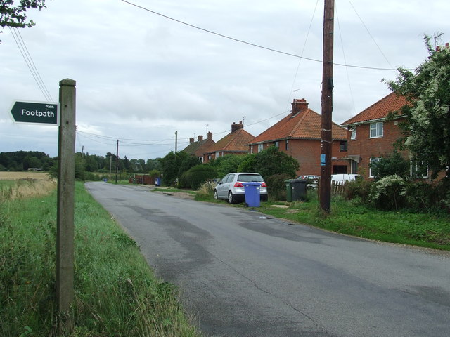
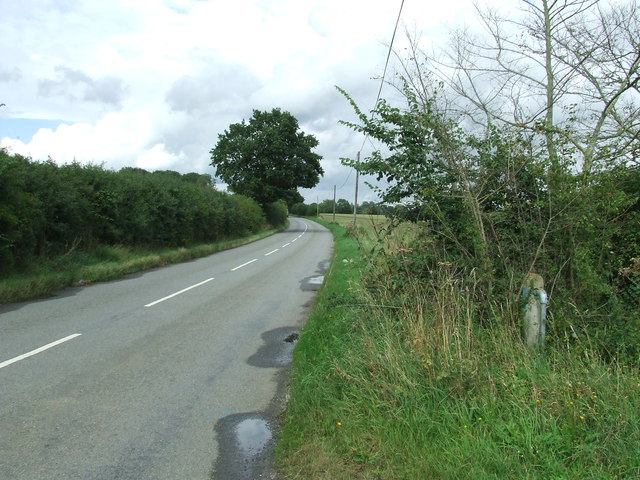
Brampton is a small village located in the county of Suffolk, England. Situated approximately five miles northeast of the town of Beccles, Brampton is a picturesque settlement that offers a peaceful and rural atmosphere.
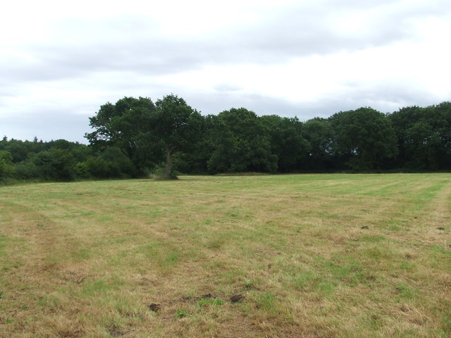
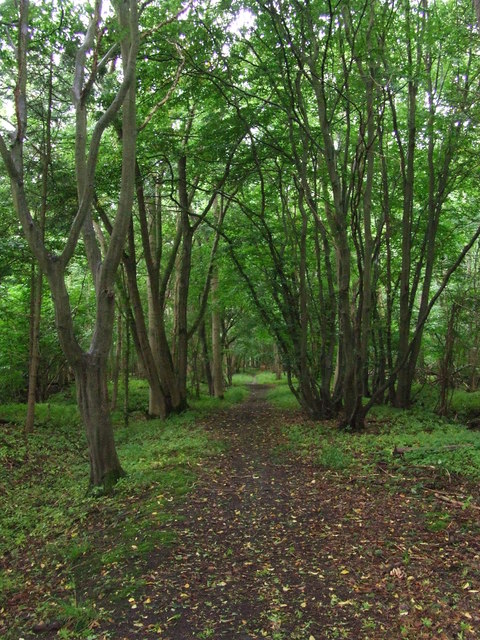
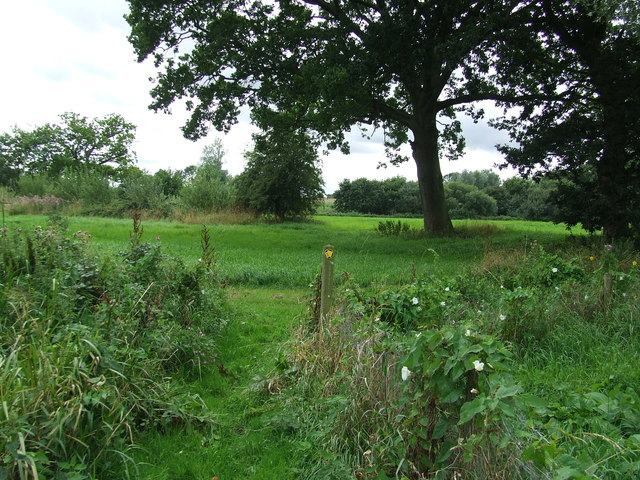
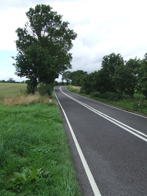
The village is known for its charming thatched cottages, which add to its traditional and quintessentially English character. Brampton is surrounded by idyllic countryside, with rolling hills, meandering rivers, and lush green fields, making it a haven for nature lovers and outdoor enthusiasts.
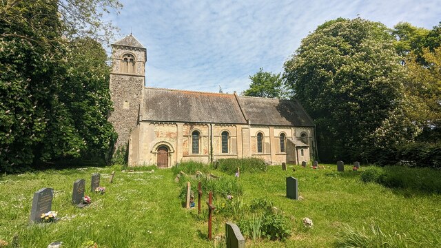
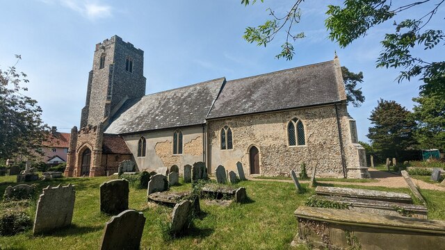
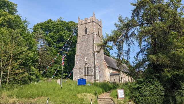
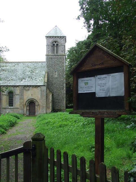
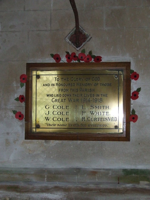
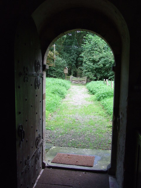
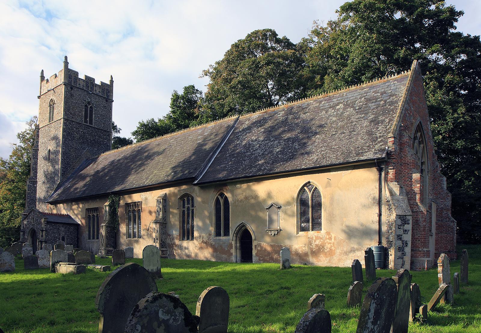
Despite its small size, Brampton has a strong sense of community, with a close-knit population that takes pride in maintaining the village's charm and heritage. The village features a beautiful 14th-century church, St. Peter's, which is a prominent landmark and a testament to Brampton's long history.
Amenities in Brampton include a local pub, The Brampton Plough, which serves as a gathering place for residents and visitors alike. Additionally, the village is conveniently located near the larger towns of Beccles and Bungay, providing access to a wider range of shops, services, and recreational facilities.
Brampton is an ideal location for those seeking a tranquil and countryside lifestyle, away from the hustle and bustle of urban areas. The village offers a peaceful retreat and a strong sense of community spirit, making it a desirable place to live or visit for those looking to escape the stresses of modern life.
If you have any feedback on the listing, please let us know in the comments section below.
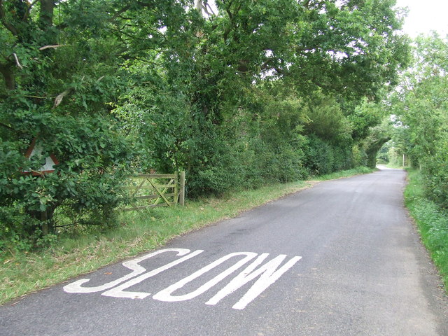
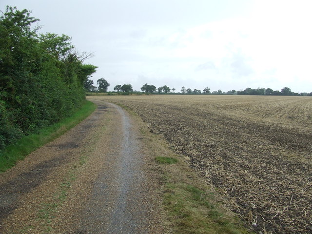
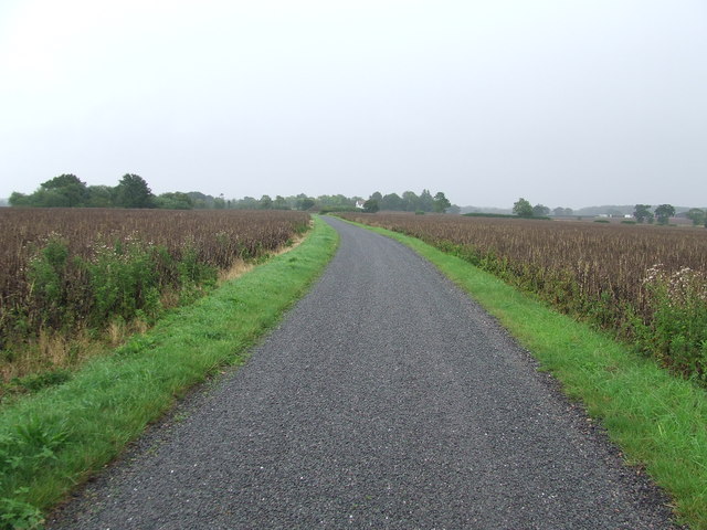
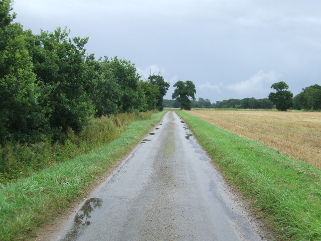
Brampton Images
Images are sourced within 2km of 52.383361/1.5781649 or Grid Reference TM4382. Thanks to Geograph Open Source API. All images are credited.

Brampton is located at Grid Ref: TM4382 (Lat: 52.383361, Lng: 1.5781649)
Administrative County: Suffolk
District: East Suffolk
Police Authority: Suffolk
What 3 Words
///undercuts.recording.transmits. Near Halesworth, Suffolk
Nearby Locations
Related Wikis
Brampton, Suffolk
Brampton is a village and former civil parish, now in the parish of Brampton with Stoven, in the East Suffolk district, in the county of Suffolk, England...

Brampton with Stoven
Brampton with Stoven is a civil parish in the East Suffolk district of the English county of Suffolk. It is located 6 miles (9.7 km) south of the town...

Stoven
Stoven is a village and former civil parish now in the parish of Brampton with Stoven, in the East Suffolk district of the English county of Suffolk. It...
Shadingfield
Shadingfield is a village and civil parish in the East Suffolk district of the English county of Suffolk. It is located around 4 miles (6.4 km) south of...
Related Videos
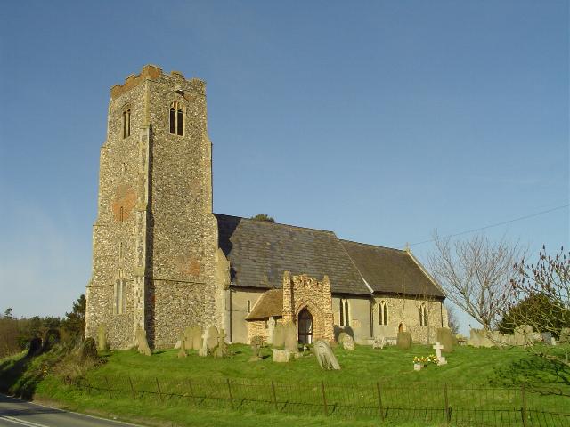
Uggeshall Church
Funds were available for a tower for St. Mary's but they never quite got round to building it.
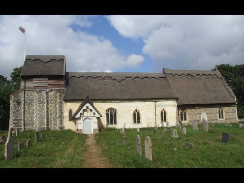
St Margaret's Church, Stoven, Near Halesworth Suffolk
After seeing this church I am thinking of renaming the channel great and not so great British Churches. The Victorian's thought it ...

Handling
Helen's.

High
Woman.
Nearby Amenities
Located within 500m of 52.383361,1.5781649Have you been to Brampton?
Leave your review of Brampton below (or comments, questions and feedback).