Brampton
Settlement in Huntingdonshire Huntingdonshire
England
Brampton

Brampton is a charming village located in the district of Huntingdonshire, in the county of Cambridgeshire, England. Situated approximately 3 miles south-west of Huntingdon, it is a picturesque settlement with a population of around 5,000 inhabitants.
The village is known for its rich history, dating back to the Anglo-Saxon period. It boasts several historical landmarks, including All Saints Church, a beautiful medieval building with a distinctive spire that dominates the village skyline. Brampton also features a number of well-preserved thatched cottages and timber-framed houses, adding to its traditional English village appeal.
The village is well-served by amenities, including a primary school, post office, convenience stores, and a selection of local businesses. Residents and visitors can enjoy a range of recreational activities, with several parks and green spaces providing opportunities for outdoor leisure activities.
Brampton benefits from its proximity to the bustling market town of Huntingdon, which offers a wider range of amenities, shopping opportunities, and leisure facilities. The village is also conveniently located close to major transport links, including the A14 road and Huntingdon railway station, making it easily accessible for commuters and travelers.
Overall, Brampton offers a peaceful and idyllic setting, combining historical charm with modern conveniences. Its close-knit community and attractive surroundings make it an appealing place to live or visit for those seeking a quintessential English village experience.
If you have any feedback on the listing, please let us know in the comments section below.
Brampton Images
Images are sourced within 2km of 52.321811/-0.22390908 or Grid Reference TL2170. Thanks to Geograph Open Source API. All images are credited.


Brampton is located at Grid Ref: TL2170 (Lat: 52.321811, Lng: -0.22390908)
Administrative County: Cambridgeshire
District: Huntingdonshire
Police Authority: Cambridgeshire
What 3 Words
///growl.raking.arching. Near Brampton, Cambridgeshire
Nearby Locations
Related Wikis

Brampton Grange
The Brampton Grange in Brampton, Cambridgeshire, England, is a historic building that dates back to 1773. The building was once vital to the planning and...
Brampton, Cambridgeshire
Brampton is a village and civil parish in Cambridgeshire, England, about 2 miles (3 km) south-west of Huntingdon. It lies within Huntingdonshire, a non...
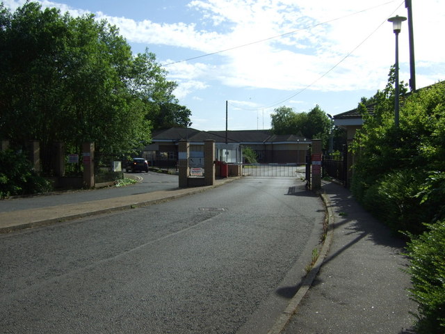
RAF Brampton
RAF Brampton was a non-flying Royal Air Force installation near Huntingdon in Cambridgeshire, England. Formerly the home of RAF Support Command, it also...

Huntingdon Racecourse
Huntingdon Racecourse is a thoroughbred horse racing venue located in Brampton near Huntingdon, Cambridgeshire, England. It is located on a Site of Special...

Brampton Racecourse
Brampton Racecourse is a 21.1-hectare (52-acre) biological Site of Special Scientific Interest north of Brampton in Cambridgeshire. The site is also a...
Hinchingbrooke School
Hinchingbrooke School is a large secondary school situated on the outskirts of Huntingdon in Cambridgeshire, historically in Huntingdonshire. Originally...
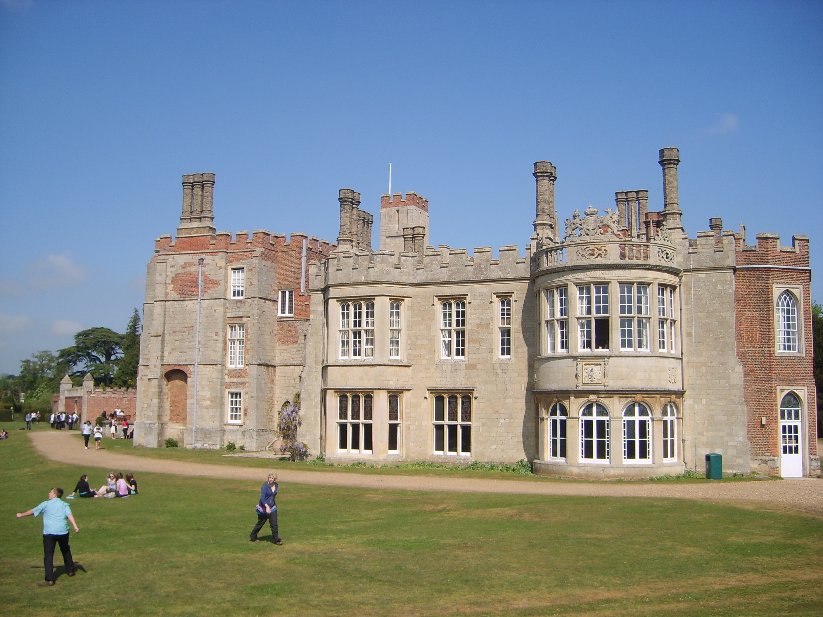
Hinchingbrooke House
Hinchingbrooke House is an English stately home in Huntingdon, Cambridgeshire, now part of Hinchingbrooke School. The house was built around an 11th-century...
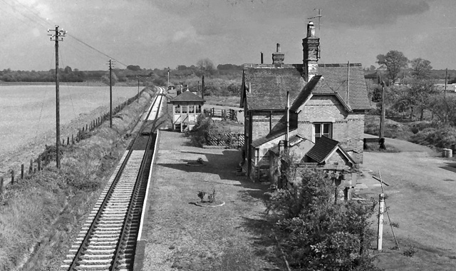
Buckden railway station
Buckden railway station was a railway station in Buckden, Cambridgeshire. The station and its line closed in year 1959. The signal box is now preserved...
Nearby Amenities
Located within 500m of 52.321811,-0.22390908Have you been to Brampton?
Leave your review of Brampton below (or comments, questions and feedback).