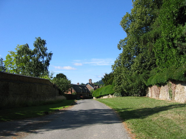
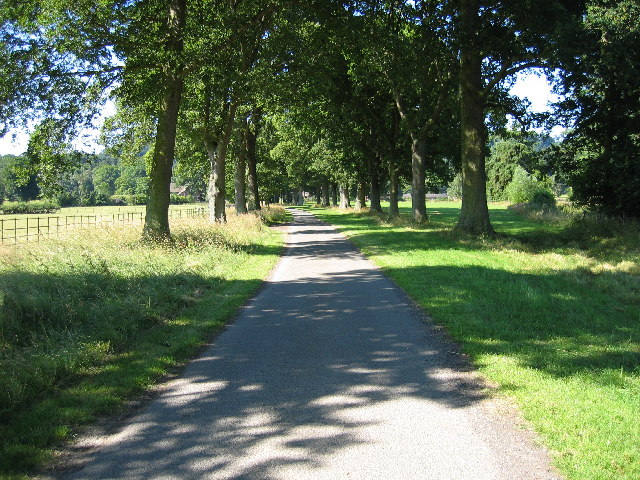
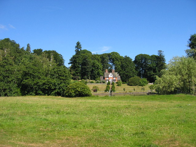
Brampton Bryan Park
Downs, Moorland in Herefordshire
England
Brampton Bryan Park
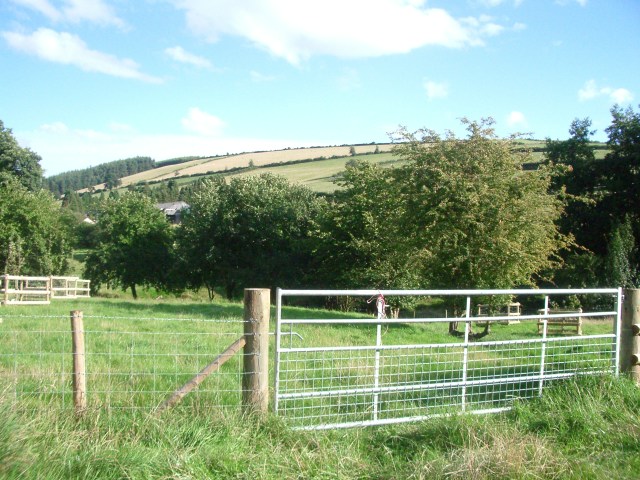
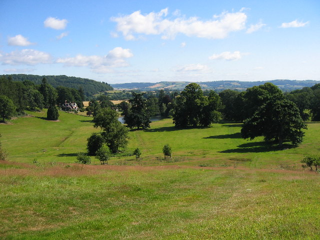
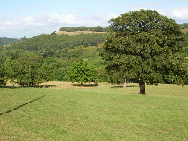
Brampton Bryan Park is an expansive and picturesque estate situated in the county of Herefordshire, England. Nestled amidst the rolling countryside, the park spans across vast stretches of downs and moorland, offering visitors a tranquil and idyllic setting to explore.
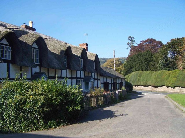
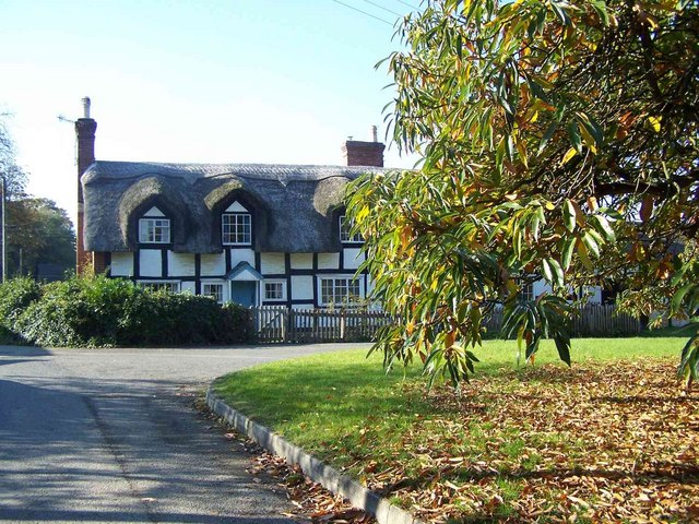
The park boasts a rich history dating back to the medieval period, with the Brampton Bryan Castle, a Grade I listed building, serving as its centerpiece. The castle, built in the 14th century, showcases stunning architectural features and provides a glimpse into the region's past.
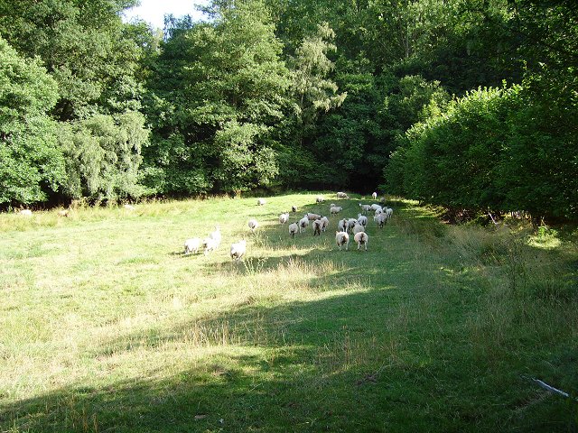
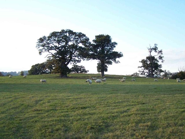
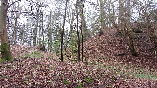
Beyond the castle, the park offers visitors a myriad of natural wonders. The downs, characterized by their open grasslands and sweeping views, provide ample opportunities for leisurely walks and wildlife spotting. Visitors can expect to encounter a diverse array of flora and fauna, including rare and protected species.
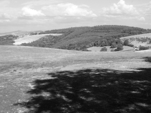
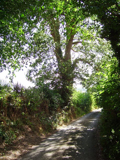
The moorland within Brampton Bryan Park offers a contrasting landscape, with its heather-covered hills and winding paths. This section of the park is particularly popular amongst hikers and nature enthusiasts, who are drawn to its rugged beauty and peaceful atmosphere.
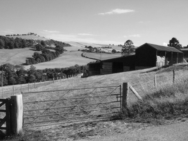
Moreover, the park is home to a variety of recreational facilities, including picnic areas and well-maintained trails. These amenities make it an ideal destination for families and individuals seeking outdoor activities such as cycling, horseback riding, and birdwatching.
Overall, Brampton Bryan Park in Herefordshire is a captivating blend of historical significance and natural beauty. Its downs and moorland provide a stunning backdrop for exploration and offer visitors an opportunity to immerse themselves in the tranquility of the English countryside.
If you have any feedback on the listing, please let us know in the comments section below.
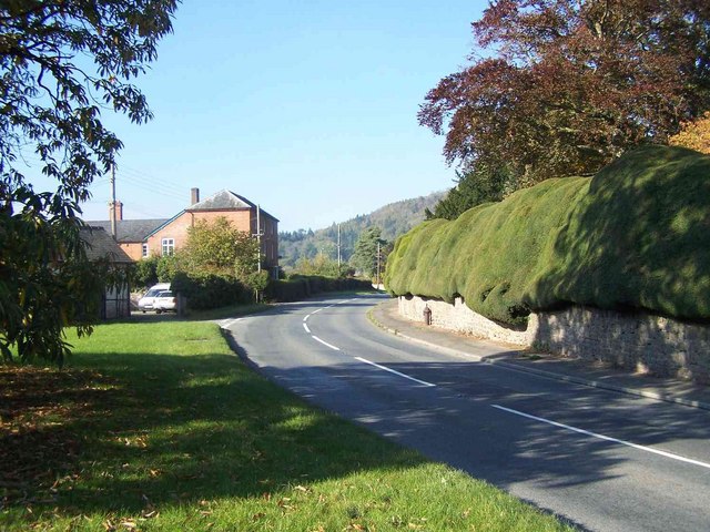
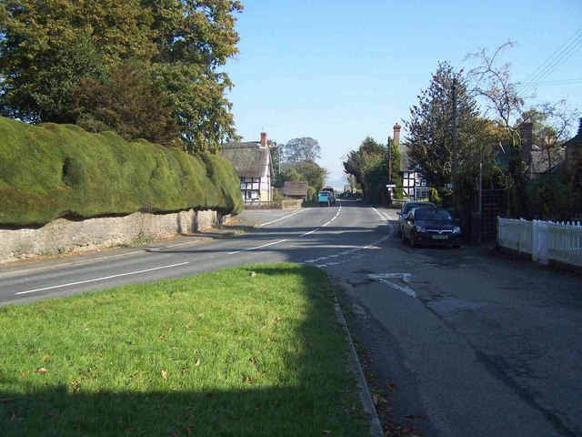
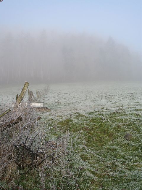
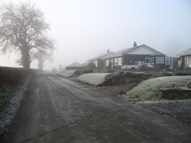
Brampton Bryan Park Images
Images are sourced within 2km of 52.338925/-2.9410975 or Grid Reference SO3571. Thanks to Geograph Open Source API. All images are credited.

Brampton Bryan Park is located at Grid Ref: SO3571 (Lat: 52.338925, Lng: -2.9410975)
Unitary Authority: County of Herefordshire
Police Authority: West Mercia
What 3 Words
///curve.dorms.valley. Near Bucknell, Shropshire
Nearby Locations
Related Wikis
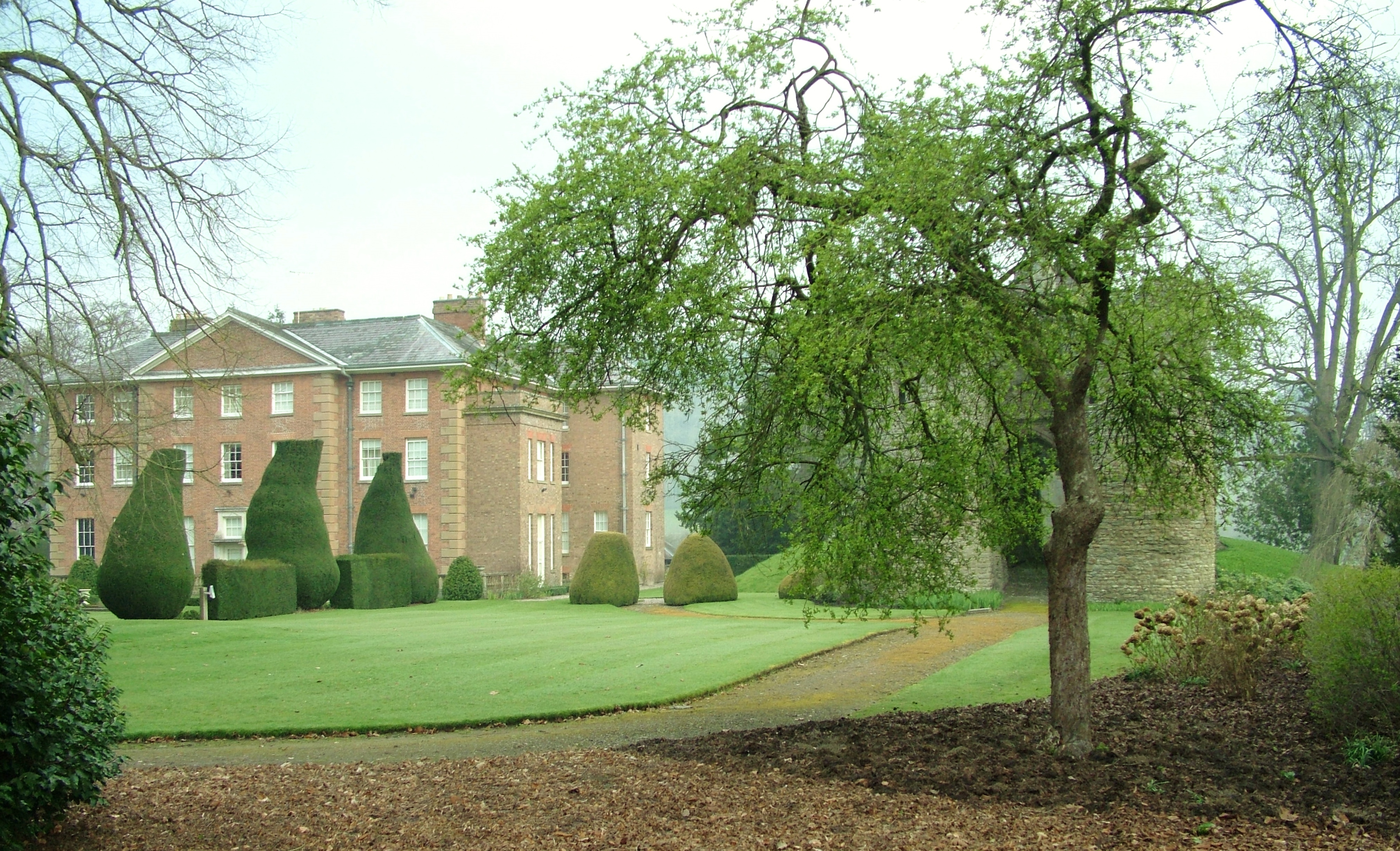
Brampton Bryan Hall
Brampton Bryan Hall is a 17th-century English country house in the village of Brampton Bryan, Herefordshire. It is still owned by the descendants of Robert...

Brampton Bryan Castle
Brampton Bryan Castle is a ruined medieval castle in the small village of Brampton Bryan in north-western Herefordshire, England, 50m south of the River...

Brampton Bryan
Brampton Bryan is a small village and civil parish situated in north Herefordshire, England close to the Shropshire and Welsh borders. Brampton Bryan lies...
Coxall Knoll
Coxall Knoll is a hill lying on the boundary of Shropshire and Herefordshire, England; it is near Bucknell in Shropshire and Buckton and Coxall in Herefordshire...

Bucknell railway station
Bucknell railway station serves the village of Bucknell in Shropshire, England 28+1⁄4 miles (45.5 km) south west of Shrewsbury on the Heart of Wales Line...

Bucknell, Shropshire
Bucknell is a village and civil parish in south Shropshire, England. The village lies on the River Redlake, within 660 yards (600 m) of the River Teme...

Birtley, Herefordshire
Birtley is a hamlet in north Herefordshire, in England. It is situated to the west of Ludlow and Leominster, approximately 16 km (9.9 mi) from both towns...

Stanage Park
Stanage Park is a Grade II* listed Welsh country house set in a large park located some 3 miles (4.8 km) east of Knighton, Powys near the settlement of...
Nearby Amenities
Located within 500m of 52.338925,-2.9410975Have you been to Brampton Bryan Park?
Leave your review of Brampton Bryan Park below (or comments, questions and feedback).