Brampton Bierlow

Civil Parish in Yorkshire Rotherham

England

Brampton Bierlow

Small pond, RSPB Old Moor Near the western perimeter of this wetlands reserve in the Dearne Valley.
Small pond, RSPB Old Moor Credit: Christine Johnstone

Brampton Bierlow is a civil parish located in the metropolitan borough of Rotherham, South Yorkshire, England. Situated within the historical county boundaries of Yorkshire, the parish covers an area of approximately 5 square kilometers.

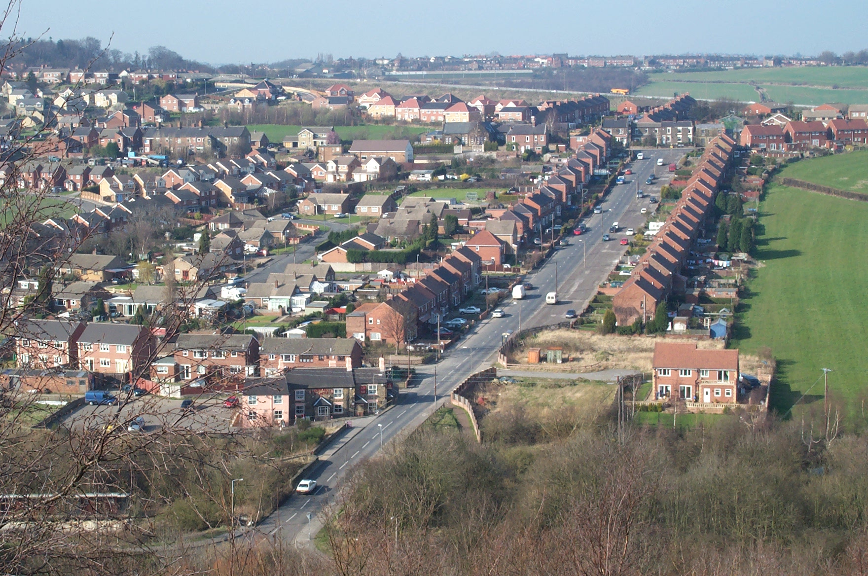
The village of Brampton Bierlow is nestled in the beautiful countryside of Yorkshire and is surrounded by rolling hills and farmland. It is located about 5 miles east of the town of Barnsley and about 10 miles north of Rotherham. The village is primarily residential, with a mix of traditional stone-built houses and more modern properties.

Despite its relatively small size, Brampton Bierlow has a rich history. The origins of the village can be traced back to medieval times, and it was mentioned in the Domesday Book of 1086. The area was historically known for coal mining, and evidence of this industry can still be seen in the form of old mine shafts and buildings.

Today, Brampton Bierlow is a peaceful and close-knit community, with a range of amenities for its residents. These include a primary school, a community center, a village hall, and a few local shops and pubs. The village also benefits from being surrounded by beautiful countryside, offering opportunities for outdoor activities such as walking and cycling.

Overall, Brampton Bierlow is a charming and historic village in the heart of Yorkshire, providing a quiet and picturesque place to live.

If you have any feedback on the listing, please let us know in the comments section below.

Brampton Bierlow Images

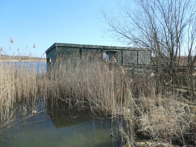
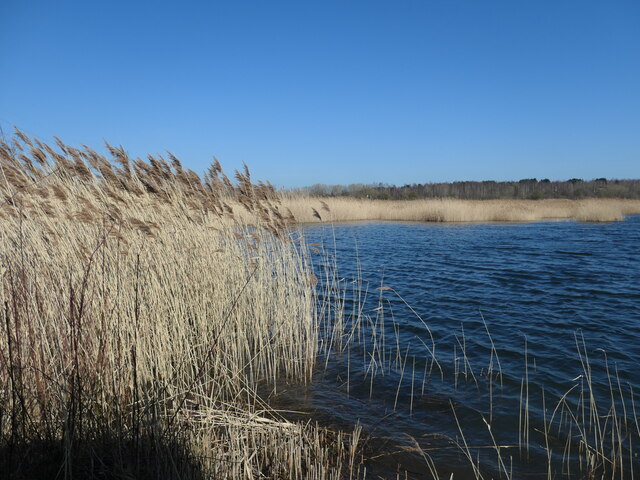
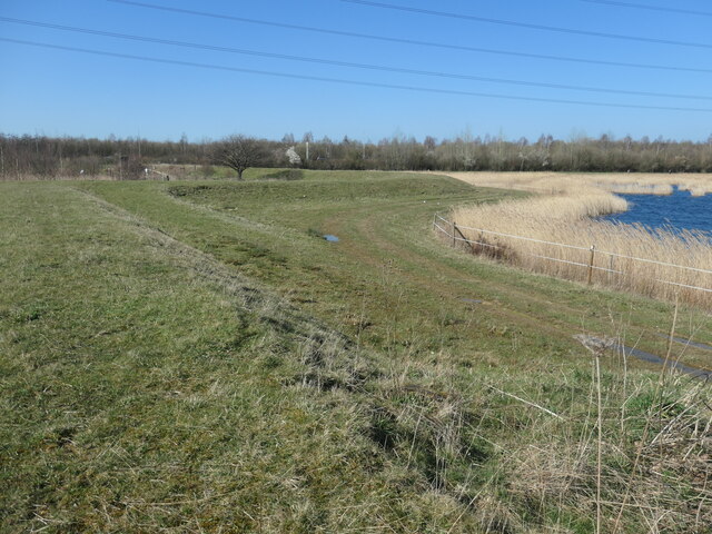
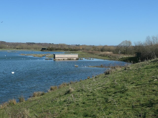
Images are sourced within 2km of 53.504889/-1.381136 or Grid Reference SE4101. Thanks to Geograph Open Source API. All images are credited.
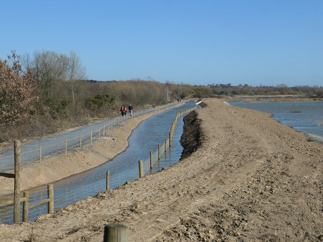
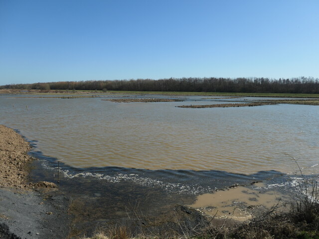
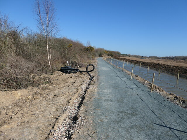
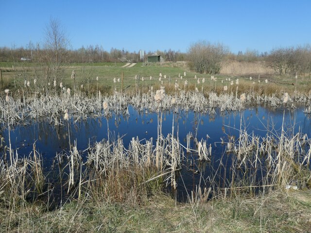
Small pond, RSPB Old Moor Near the western perimeter of this wetlands reserve in the Dearne Valley.
Small pond, RSPB Old Moor
Near the western perimeter of this wetlands reserve in the Dearne Valley.
Reedbeds, RSPB Old Moor This area used to be farmland prone to flooding.
Reedbeds, RSPB Old Moor
This area used to be farmland prone to flooding.
Under the wires, RSPB Old Moor This area used to be farmland prone to flooding.
Under the wires, RSPB Old Moor
This area used to be farmland prone to flooding.
Open water between reedbeds, RSPB Old Moor By accident or design?
Open water between reedbeds, RSPB Old Moor
By accident or design?
Reedbed hide, RSPB Old Moor On a promontory at the edge of the reeds.
Reedbed hide, RSPB Old Moor
On a promontory at the edge of the reeds.
Reedbeds from the Reedbed hide At RSPB Old Moor, in the Dearne Valley.
Reedbeds from the Reedbed hide
At RSPB Old Moor, in the Dearne Valley.
Floodbank, RSPB Old Moor The reserve was created on farmland prone to flooding.
Floodbank, RSPB Old Moor
The reserve was created on farmland prone to flooding.
Nesting wall, RSPB Old Moor Near the south shore of the Mere.
Nesting wall, RSPB Old Moor
Near the south shore of the Mere.
All change at Field Pool, RSPB Old Moor A new path has been opened along this side of the hedge, because the parallel one on the other side of the hedge has been damaged by floods. The fence in the water is designed to stop mammals predating birds on islands.
All change at Field Pool, RSPB Old Moor
A new path has been opened along this side of the hedge, because the parallel one on the other side of the hedge has been damaged by floods. The fence in the water is designed to stop mammals predating birds on islands.
Field Pool, from Field Pool West hide, RSPB Old Moor Brown with suspended sediment, after flooding.
Field Pool, from Field Pool West hide, RSPB Old Moor
Brown with suspended sediment, after flooding.
Installing new drains, RSPB Old Moor On the new path by Field Pool.
Installing new drains, RSPB Old Moor
On the new path by Field Pool.
Knoll Beck Looking upstream [locally west]. The path forms part of the Trans Pennine Trail.
Knoll Beck
Looking upstream [locally west]. The path forms part of the Trans Pennine Trail.
Trans Pennine Trail, between the A6195 and the B6273 On the former route of a railway.
Trans Pennine Trail, between the A6195 and the B6273
On the former route of a railway.
Public footpath to Gypsy Marsh Gypsy Marsh is an RSPB reserve - meadow with fen at one end, dry grassland at the other. This path is shown on the large sale OS map surveyed in 1850, running east from the canal junction at Wombwell.
Public footpath to Gypsy Marsh
Gypsy Marsh is an RSPB reserve - meadow with fen at one end, dry grassland at the other. This path is shown on the large sale OS map surveyed in 1850, running east from the canal junction at Wombwell.
Scrub at Gypsy Marsh Gypsy Marsh is an RSPB reserve - a meadow with fen at one end, dry grassland at the other.
Scrub at Gypsy Marsh
Gypsy Marsh is an RSPB reserve - a meadow with fen at one end, dry grassland at the other.
Reed mace at Gypsy Marsh Gypsy Marsh is an RSPB reserve - a meadow with fen at one end, dry grassland at the other.
Reed mace at Gypsy Marsh
Gypsy Marsh is an RSPB reserve - a meadow with fen at one end, dry grassland at the other.
Flooded public footpath, near Broomhill The eastern end of the path across Gypsy Marsh.
Flooded public footpath, near Broomhill
The eastern end of the path across Gypsy Marsh.
Path through Broomhill Park Serving the residents of Broomhill. The park is between the village and the A6195, on land once used for farming, an institute and allotments.
Path through Broomhill Park
Serving the residents of Broomhill. The park is between the village and the A6195, on land once used for farming, an institute and allotments.
Show me another place!

Brampton Bierlow is located at Grid Ref: SE4101 (Lat: 53.504889, Lng: -1.381136)

Division: West Riding

Administrative County: South Yorkshire

District: Rotherham

Police Authority: South Yorkshire

What 3 Words

///design.finely.seashell. Near Wombwell, South Yorkshire

Nearby Locations

Brampton Bierlow Brampton

Related Wikis

Cortonwood

Cortonwood was a colliery near Rotherham, South Yorkshire, England. The colliery's proposed closure was a tipping point in the 1984-85 miners' strike....

Brampton Bierlow

Brampton Bierlow, often known as Brampton, is a village and civil parish in the Metropolitan Borough of Rotherham, South Yorkshire, England. It is situated...

West Melton

West Melton is a former mining village in the parish of Brampton Bierlow in South Yorkshire, England. It lies between Wath upon Dearne and Brampton Bierlow...

RSPB Dearne Valley Old Moor

RSPB Dearne Valley Old Moor is an 89-hectare (220-acre) wetlands nature reserve in the Dearne Valley near Barnsley, South Yorkshire, run by the Royal Society...

Lundhill Colliery explosion

The Lundhill Colliery explosion was a coal mining accident which took place on 19 February 1857 in Wombwell, Yorkshire, UK in which 189 men and boys aged...

Hemingfield

Hemingfield is a village in the metropolitan borough of Barnsley, South Yorkshire, England. The village falls within the Hoyland Milton Ward of Barnsley...

Wombwell

Wombwell (locally ) is a town in the Metropolitan Borough of Barnsley in South Yorkshire, England. In the 2011 census, data for the town was split between...

Wath marshalling yard

Wath marshalling yard, also known as Wath concentration yard (grid reference SE428017), was a large railway marshalling yard specifically designed for...

Nearby Amenities

Located within 500m of 53.504889,-1.381136
Bus Stop
Bramton Road/Brampton Hall
Alt Name: Bramton Road/Brampton Hall
Naptan AltCommonName: Bramton Road/Brampton Hall
Naptan AtcoCode: 370035496
Naptan Bearing: NW
Naptan CommonName: Bramton Road/Brampton Hall
Naptan Indicator: 35496
Naptan Landmark: OUTSIDE BRAMPTON HALL
Naptan PlusbusZoneRef: ROTHCEN
Naptan Street: Brampton Road
Naptan Verified: no
Source: naptan_import
Lat/Long: 53.5064109/-1.3741462
Bus Stop
Westfield Road/Knollbeck Lane
Naptan AtcoCode: 370035773
Naptan Bearing: NE
Naptan CommonName: Westfield Road/Knollbeck Lane
Naptan Indicator: 35773
Naptan Landmark: 35773
Naptan PlusbusZoneRef: ROTHCEN
Naptan Street: Westfield Road
Naptan Verified: no
Source: naptan_import
Lat/Long: 53.5081475/-1.3762015
Bus Stop
Westfield Road/Westpit Hill
Naptan AtcoCode: 370035776
Naptan Bearing: NE
Naptan CommonName: Westfield Road/Westpit Hill
Naptan Indicator: 35776
Naptan Landmark: Outside No 46
Naptan PlusbusZoneRef: ROTHCEN
Naptan Street: Westfield Road
Naptan Verified: no
Source: naptan_import
Lat/Long: 53.5068055/-1.3791464
Bus Stop
Westfield Road/Westpit Hill
Naptan AtcoCode: 370035777
Naptan Bearing: SW
Naptan CommonName: Westfield Road/Westpit Hill
Naptan Indicator: 35777
Naptan Landmark: Opposite No 38
Naptan PlusbusZoneRef: ROTHCEN
Naptan Street: Westfield Road
Naptan Verified: no
Source: naptan_import
Lat/Long: 53.5068391/-1.3786936
Knollbeck Avenue/Wyn Grove
Alt Name: Knollbeck Avenue/Wyn Grove
Naptan AltCommonName: Knollbeck Avenue/Wyn Grove
Naptan AtcoCode: 370035791
Naptan Bearing: SE
Naptan BusStopType: CUS
Naptan CommonName: Knollbeck Avenue/Wyn Grove
Naptan Indicator: 35791
Naptan Landmark: 35791
Naptan PlusbusZoneRef: ROTHCEN
Naptan Street: Knollbeck Avenue
Naptan Verified: no
Source: naptan_import
Lat/Long: 53.5090641/-1.3795959
Knollbeck Avenue/Wyn Grove
Alt Name: Knollbeck Avenue/Wyn Grove
Naptan AltCommonName: Knollbeck Avenue/Wyn Grove
Naptan AtcoCode: 370035792
Naptan Bearing: NW
Naptan BusStopType: CUS
Naptan CommonName: Knollbeck Avenue/Wyn Grove
Naptan Indicator: 35792
Naptan Landmark: 35792
Naptan PlusbusZoneRef: ROTHCEN
Naptan Street: Knollbeck Avenue
Naptan Verified: no
Source: naptan_import
Lat/Long: 53.5089569/-1.3797332
Bus Stop
Westgate/Meadowgate
Naptan AtcoCode: 370035872
Naptan Bearing: SE
Naptan CommonName: Westgate/Meadowgate
Naptan Indicator: 35872
Naptan Landmark: 35872
Naptan PlusbusZoneRef: ROTHCEN
Naptan Street: Westgate
Naptan Verified: no
Source: naptan_import
Lat/Long: 53.502815/-1.3827176
Bus Stop
Westgate/Meadowgate
Naptan AtcoCode: 370035873
Naptan Bearing: NW
Naptan CommonName: Westgate/Meadowgate
Naptan Indicator: 35873
Naptan Landmark: 35873
Naptan PlusbusZoneRef: ROTHCEN
Naptan Street: Westgate
Naptan Verified: no
Source: naptan_import
Lat/Long: 53.5028353/-1.3831696
Power: tower
Lat/Long: 53.5013371/-1.3795568
Power: tower
Lat/Long: 53.5016541/-1.3758848
Power: tower
Lat/Long: 53.5019605/-1.3773689
Power: tower
Lat/Long: 53.5023499/-1.3765128
Power: tower
Lat/Long: 53.5055235/-1.3756036
Power: tower
Lat/Long: 53.5024351/-1.3789477
Power: tower
Lat/Long: 53.5008017/-1.3834511
Power: tower
Lat/Long: 53.5027874/-1.3787304
Power: tower
Lat/Long: 53.5028496/-1.3808467
Power: tower
Lat/Long: 53.5009463/-1.3782289
Power: tower
Lat/Long: 53.5050323/-1.3818364
Power: tower
Lat/Long: 53.5071568/-1.3826518
Power: tower
Lat/Long: 53.5008931/-1.3787297
Power: tower
Lat/Long: 53.5011048/-1.3785814
Power: tower
Lat/Long: 53.5023364/-1.375583
Power: tower
Lat/Long: 53.5023586/-1.3787258
Power: tower
Lat/Long: 53.5023943/-1.3759327
Power: tower
Lat/Long: 53.5023974/-1.3757557
Power: tower
Lat/Long: 53.5025193/-1.3786047
Power: tower
Lat/Long: 53.5026703/-1.3785131
Power: tower
Lat/Long: 53.5028262/-1.3784164
Noexit: yes
Lat/Long: 53.5061382/-1.381912
Noexit: yes
Lat/Long: 53.5060552/-1.3818744
Power: transformer
Lat/Long: 53.5026987/-1.3775185
Power: transformer
Lat/Long: 53.5024222/-1.3777113
Power: transformer
Lat/Long: 53.5020845/-1.3778855
Crossing
Lat/Long: 53.5035094/-1.3847152
Crossing
Lat/Long: 53.5030818/-1.3850012
Leisure: playground
Lat/Long: 53.5033075/-1.3849101
Post Box
Collection Times: Mo-Fr 09:00; Sa 07:00
Post Box Type: pillar
Ref: S63 505D
Royal Cypher: EIIR
Royal Cypher Wikidata: Q33102113
Lat/Long: 53.5016204/-1.3861843
Post Box
Collection Times: Mo-Fr 09:00; Sa 07:00
Post Box Type: lamp
Ref: S63 302D
Royal Cypher: EIIR
Royal Cypher Wikidata: Q33102113
Lat/Long: 53.505756/-1.3780114
Generator Method: photovoltaic
Generator Output Electricity: yes
Generator Source: solar
Generator Type: solar_photovoltaic_panel
Location: roof
Power: generator
Lat/Long: 53.5049107/-1.3766947
Generator Method: photovoltaic
Generator Output Electricity: yes
Generator Source: solar
Generator Type: solar_photovoltaic_panel
Location: roof
Power: generator
Lat/Long: 53.5048246/-1.376456
Generator Method: photovoltaic
Generator Output Electricity: yes
Generator Source: solar
Generator Type: solar_photovoltaic_panel
Location: roof
Power: generator
Lat/Long: 53.504764/-1.3762066
Generator Method: photovoltaic
Generator Output Electricity: yes
Generator Source: solar
Generator Type: solar_photovoltaic_panel
Location: roof
Power: generator
Lat/Long: 53.5067548/-1.376515
Generator Method: photovoltaic
Generator Output Electricity: yes
Generator Source: solar
Generator Type: solar_photovoltaic_panel
Location: roof
Power: generator
Lat/Long: 53.5058136/-1.3739482
Generator Method: photovoltaic
Generator Output Electricity: yes
Generator Source: solar
Generator Type: solar_photovoltaic_panel
Location: roof
Power: generator
Lat/Long: 53.5057961/-1.3738838
Generator Method: photovoltaic
Generator Output Electricity: yes
Generator Source: solar
Generator Type: solar_photovoltaic_panel
Location: roof
Power: generator
Lat/Long: 53.5057594/-1.3748977
Generator Method: photovoltaic
Generator Output Electricity: yes
Generator Source: solar
Generator Type: solar_photovoltaic_panel
Location: roof
Power: generator
Lat/Long: 53.5054244/-1.3737926
Power: transformer
Lat/Long: 53.5013548/-1.3779071
Power: switch
Lat/Long: 53.5014173/-1.3773401
Power: transformer
Lat/Long: 53.5019649/-1.3770437
Power: transformer
Lat/Long: 53.5017868/-1.3762062
Power: transformer
Lat/Long: 53.5015293/-1.3778229
Power: switch
Lat/Long: 53.5015714/-1.3767928
Power: transformer
Lat/Long: 53.5018461/-1.3764986
Power: transformer
Lat/Long: 53.5018975/-1.3767609
Power: switch
Lat/Long: 53.5011894/-1.3771731
Post Box
Collection Plate: no
Post Box Type: wall
Ref: S73 210
Royal Cypher: EIIR
Royal Cypher Wikidata: Q33102113
Lat/Long: 53.508391/-1.3784086
The data included in this document is from www.openstreetmap.org. The data is made available under ODbL.

Have you been to Brampton Bierlow?

Leave your review of Brampton Bierlow below (or comments, questions and feedback).