Blaby
Civil Parish in Leicestershire Blaby
England
Blaby
Blaby is a civil parish located in the county of Leicestershire, England. It is situated approximately five miles southwest of Leicester city center. The parish covers an area of around 8.7 square miles and has a population of over 10,000 people.
Blaby is known for its rich history, dating back to prehistoric times. The area was settled by the Romans, and evidence of their presence can still be seen in the form of a Roman road that runs through the parish. The name "Blaby" is believed to have originated from the Old Norse word "blar," meaning dark or blue, and "by," meaning a settlement or village.
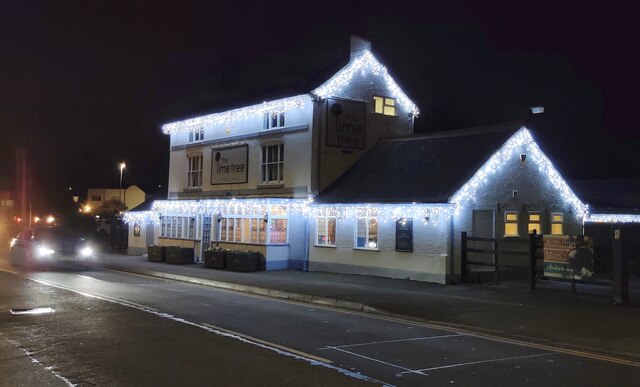
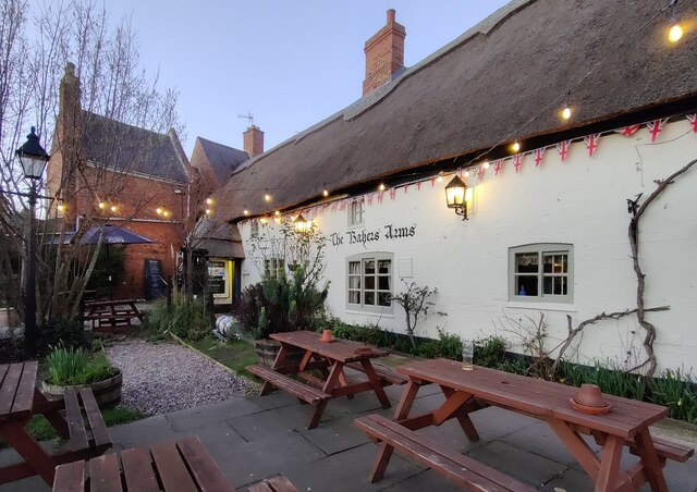
The village of Blaby is the main settlement within the parish, and it offers a range of amenities and services to its residents. These include shops, pubs, restaurants, a library, and a leisure center. The parish also has several schools, including primary and secondary schools, providing education for children of all ages.
Blaby is well-connected to the surrounding areas by road and public transport. The M1 motorway runs nearby, providing easy access to Leicester, as well as other major cities such as Nottingham and Birmingham. The parish is also served by several bus routes, ensuring convenient transportation options for residents and visitors.
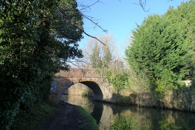
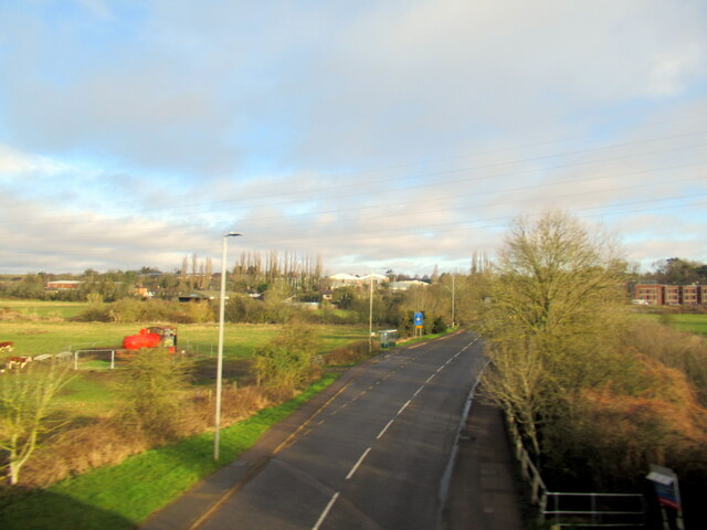
In terms of natural beauty, Blaby is surrounded by picturesque countryside, including fields, woodlands, and parks. The nearby Fosse Meadows Nature Park is a popular spot for outdoor activities such as walking, cycling, and birdwatching.
Overall, Blaby offers a blend of historical charm, modern amenities, and natural beauty, making it an attractive place to live or visit in Leicestershire.
If you have any feedback on the listing, please let us know in the comments section below.
Blaby Images
Images are sourced within 2km of 52.56853/-1.156722 or Grid Reference SP5797. Thanks to Geograph Open Source API. All images are credited.


Blaby is located at Grid Ref: SP5797 (Lat: 52.56853, Lng: -1.156722)
Administrative County: Leicestershire
District: Blaby
Police Authority: Leicestershire
What 3 Words
///taker.enable.models. Near Blaby, Leicestershire
Nearby Locations
Related Wikis

All Saints' Church, Blaby
All Saints' Church is a church in Blaby, Leicestershire. It is a Grade I listed building. == History == The church consists of a nave, vestry, chancel...

Blaby
Blaby () is a large village in the Blaby District in central Leicestershire, England, some five miles south of Leicester city centre. At the time of the...

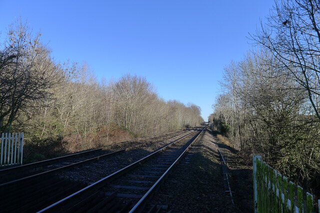
Blaby railway station
Blaby railway station was a railway station on the Birmingham to Peterborough Line that served Blaby in Leicestershire, England. The station was opened...

Leysland High School
Leysland High School was a coeducational middle school with academy status, located in Countesthorpe, Leicestershire, England. It was open for students...

Leicestershire and Rutland Wildlife Trust
The Leicestershire and Rutland Wildlife Trust (LRWT) is one of 46 wildlife trusts across the United Kingdom. It manages nature reserves in Leicestershire...
Leicestershire and Rutland County Football Association
The Leicestershire and Rutland County Football Association, also simply known as the Leicestershire & Rutland CFA, Leicestershire FA or LRCFA, is the governing...

Countesthorpe railway station
Countesthorpe railway station was a railway station serving Countesthorpe in Leicestershire. The station was on the Midland Counties Railway main line...

Whetstone, Leicestershire
Whetstone is a village and civil parish in the Blaby district of Leicestershire, England and largely acts as a commuter village for Leicester, five miles...
Nearby Amenities
Located within 500m of 52.56853,-1.156722Have you been to Blaby?
Leave your review of Blaby below (or comments, questions and feedback).