Bixley
Civil Parish in Norfolk South Norfolk
England
Bixley
Bixley is a civil parish located in the county of Norfolk, England. Situated approximately 4 miles south of Norwich, the parish covers an area of around 2.5 square miles. Bixley is a small rural community with a population of around 200 people.
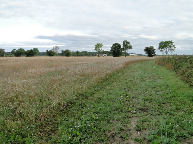
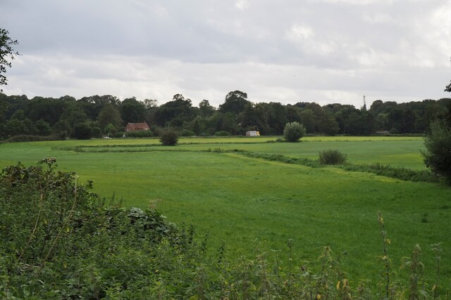
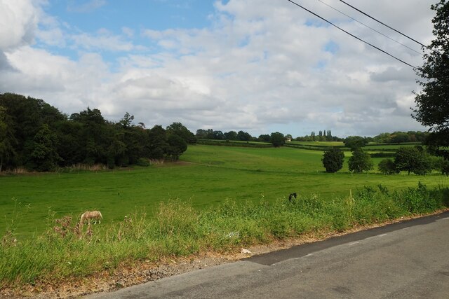
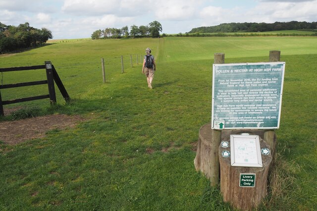
The parish is predominantly agricultural, characterized by open fields and farmland. The landscape is dotted with traditional farmhouses, barns, and outbuildings, reflecting the area's rich farming heritage. The fertile soil and favorable climate make it an ideal location for agriculture, and farming remains a significant part of the local economy.
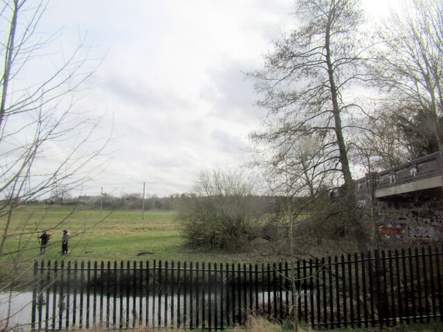
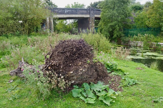
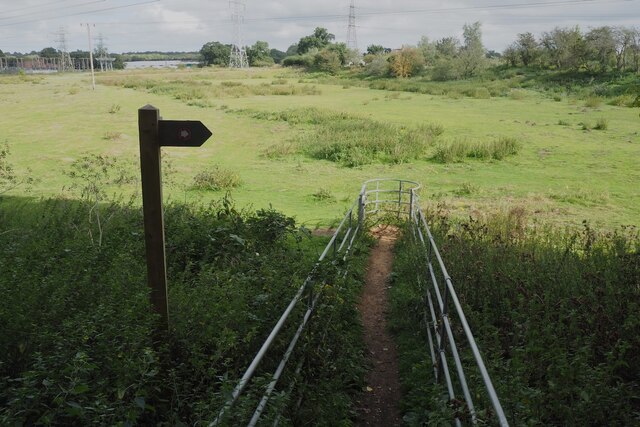
Bixley is also known for its picturesque countryside, with rolling hills and meandering streams adding to its charm. The area is popular with walkers and nature enthusiasts, who can enjoy the peacefulness and natural beauty of the surroundings.
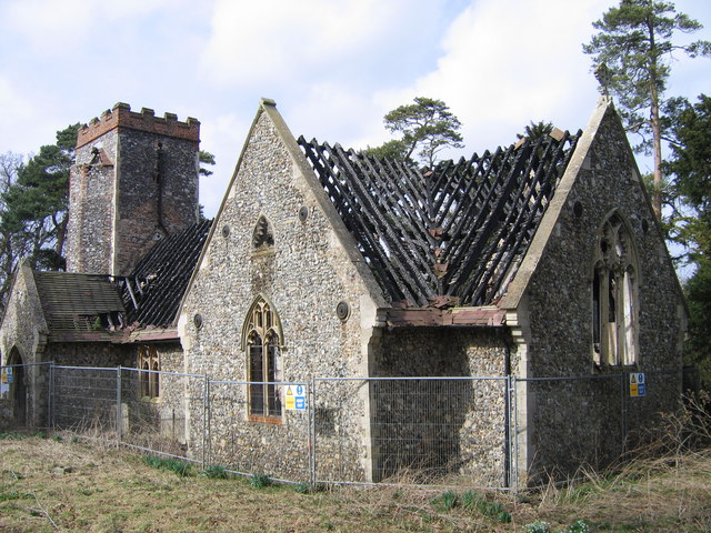
The parish has a small church, St. Wandregesilius, which dates back to the 12th century. The church is a notable historical and architectural landmark, attracting visitors interested in its medieval features and religious significance.
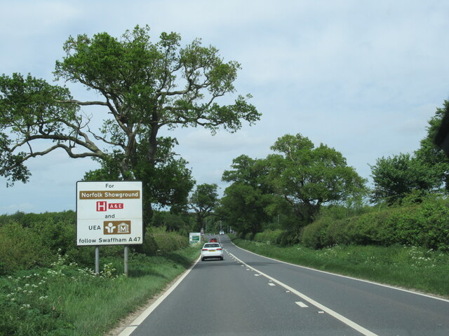
Despite its rural setting, Bixley benefits from its proximity to Norwich, which offers a range of amenities and services, including shops, schools, and healthcare facilities. The city is easily accessible by road, making it convenient for residents to access urban amenities while enjoying the tranquility of rural living.
Overall, Bixley is a quiet and picturesque civil parish that offers a peaceful rural lifestyle, surrounded by beautiful countryside and a strong sense of community.
If you have any feedback on the listing, please let us know in the comments section below.
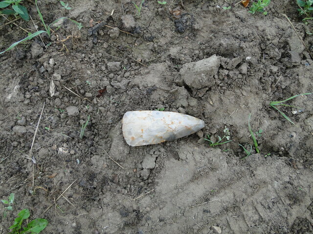
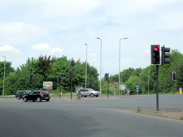
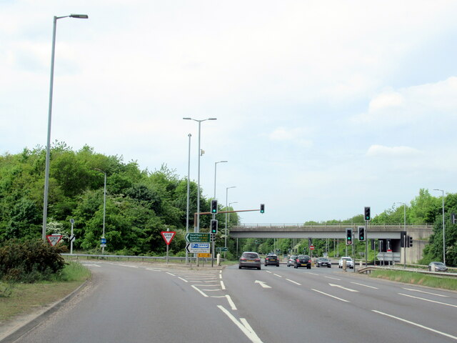
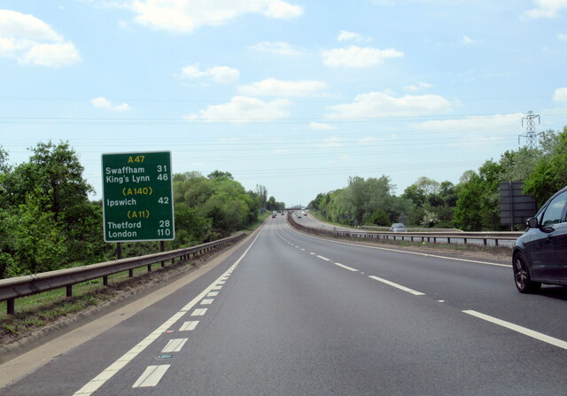
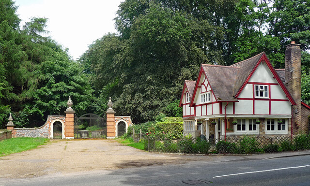
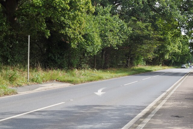
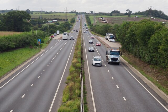
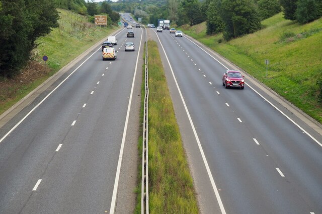
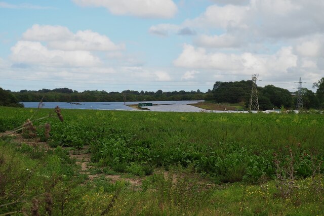
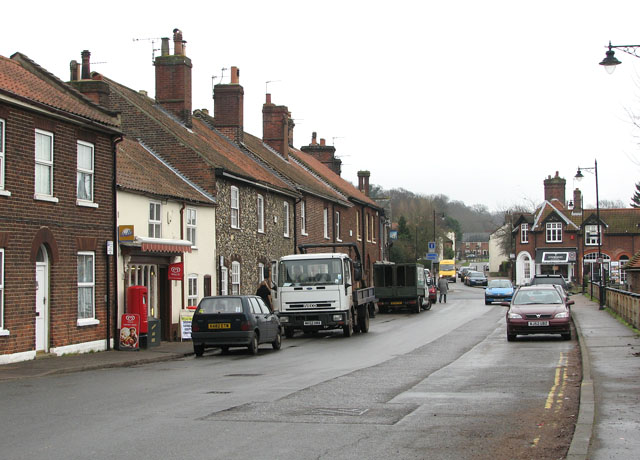
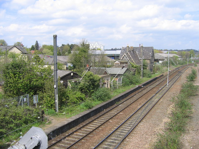
Bixley Images
Images are sourced within 2km of 52.597557/1.324439 or Grid Reference TG2505. Thanks to Geograph Open Source API. All images are credited.

Bixley is located at Grid Ref: TG2505 (Lat: 52.597557, Lng: 1.324439)
Administrative County: Norfolk
District: South Norfolk
Police Authority: Norfolk
What 3 Words
///bills.spray.marble. Near Thorpe Hamlet, Norfolk
Nearby Locations
Related Wikis
Bixley
Bixley is a former civil parish now in the parish of Caistor St Edmund and Bixley, in the South Norfolk district of Norfolk, England. According to the...
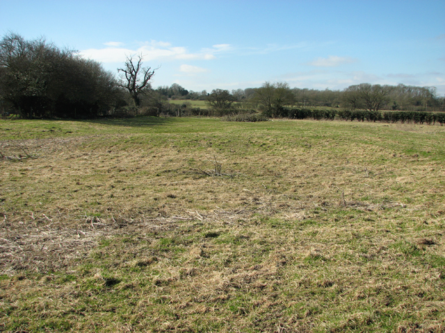
Bixley medieval settlement
Bixley medieval settlement is a deserted medieval village in Norfolk, England, about 2 miles (3.2 km) south-east of Norwich. It is a Scheduled Monument...

Arminghall
Arminghall is a village and former civil parish, now in the parish of Caistor St Edmund and Bixley, in the South Norfolk district, in the county of Norfolk...
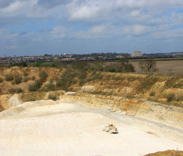
Caistor St Edmund Chalk Pit
Caistor St Edmund Chalk Pit is a 23.6-hectare (58-acre) geological Site of Special Scientific Interest south of Norwich in Norfolk. It is a Geological...
Trowse
Trowse (pronounced by those from Norwich and by elderly residents of the village), also called Trowse with Newton, is a village in South Norfolk which...

River Tas
The River Tas is a river which flows northwards through South Norfolk in England - towards Norwich. The area is named the Tas Valley after the river. The...

Caistor St Edmund
Caistor St Edmund is a village and former civil parish on the River Tas, now in the parish of Caistor St Edmund and Bixley, in the South Norfolk district...
Trowse railway station
Trowse was a station on the Great Eastern Main Line that served the village of Trowse in Norfolk, England. It was opened around the same time as Norwich...
Nearby Amenities
Located within 500m of 52.597557,1.324439Have you been to Bixley?
Leave your review of Bixley below (or comments, questions and feedback).