Bix and Assendon

Civil Parish in Oxfordshire South Oxfordshire

England

Bix and Assendon

Hollow at Famous Copse One of several old clay and flint pits in this area. This one has a rope swing.
Hollow at Famous Copse Credit: don cload

Bix and Assendon is a civil parish located in the county of Oxfordshire, England. It is situated in the Chiltern Hills, approximately 4 miles northeast of the town of Henley-on-Thames. The parish covers an area of around 10 square kilometers and is home to a small population of approximately 500 people.

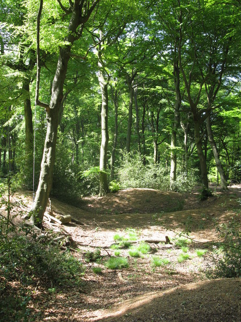
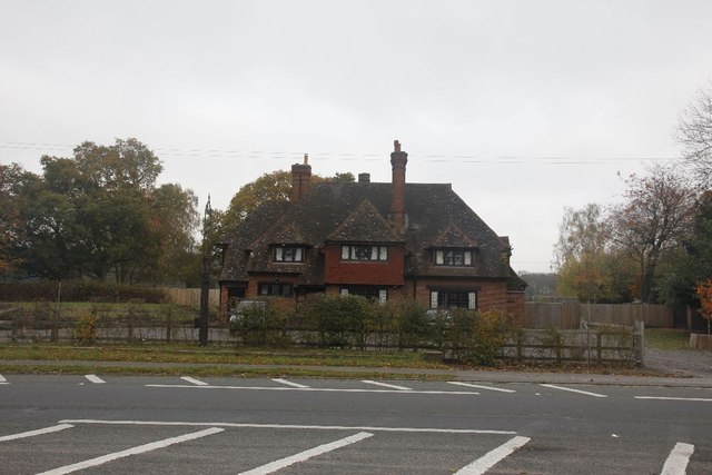
The village of Bix is the main settlement within the parish. It is a picturesque and historic village, known for its charming cottages and traditional buildings. Bix is surrounded by beautiful countryside, with rolling hills and woodlands, offering stunning views and ample opportunities for outdoor activities such as hiking and cycling.

Assendon is a hamlet situated to the east of Bix. It is a small and tranquil settlement, characterized by its rural charm and peaceful atmosphere. Assendon is known for its traditional thatched cottages and historic buildings, which add to its quaint appeal.

The parish of Bix and Assendon is within close proximity to the River Thames, providing easy access to the river and its scenic walks. The nearby town of Henley-on-Thames offers a wider range of amenities, including shops, restaurants, and cultural attractions.

Overall, Bix and Assendon offer a serene and idyllic countryside setting, making it an attractive location for those seeking a peaceful retreat away from the hustle and bustle of city life.

If you have any feedback on the listing, please let us know in the comments section below.

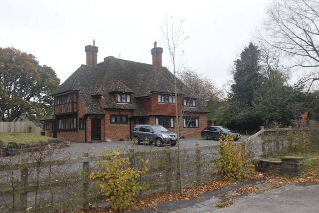
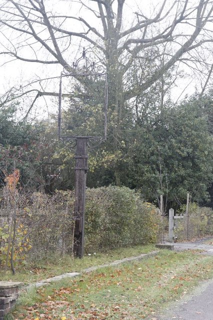
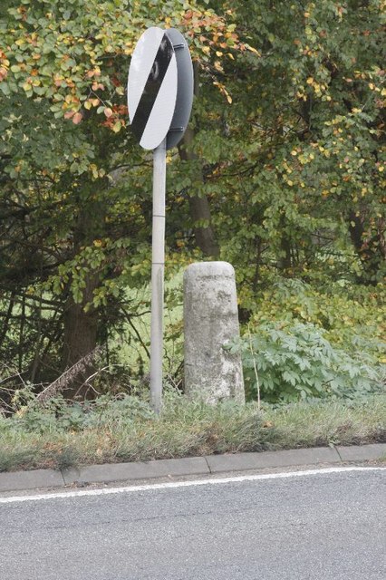
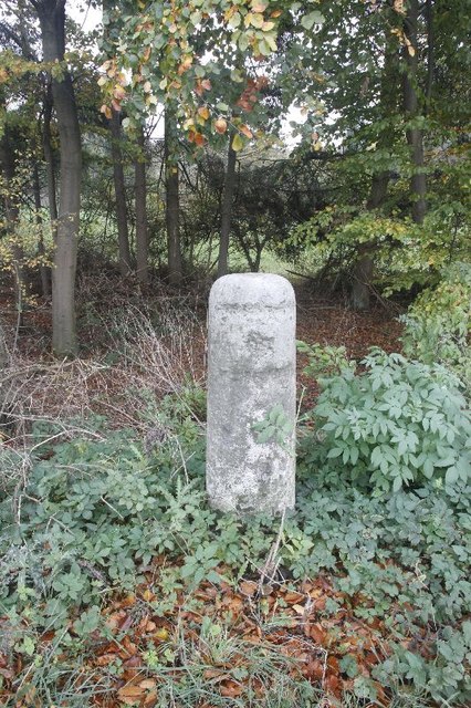
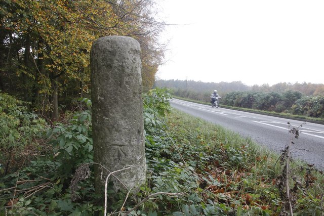
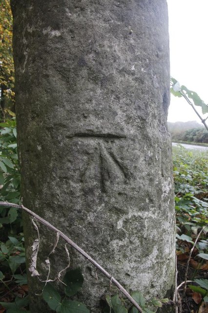
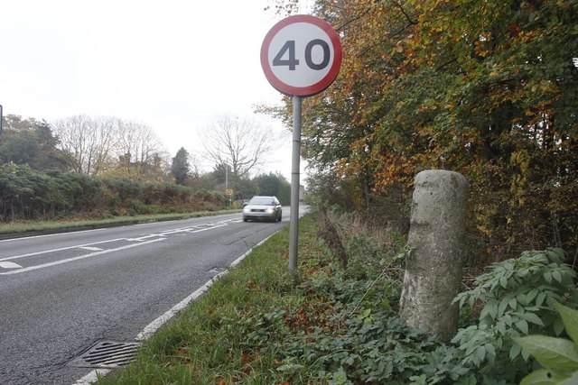
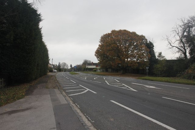
Bix and Assendon Images

Images are sourced within 2km of 51.561972/-0.943912 or Grid Reference SU7385. Thanks to Geograph Open Source API. All images are credited.

Hollow at Famous Copse One of several old clay and flint pits in this area. This one has a rope swing.
Hollow at Famous Copse
One of several old clay and flint pits in this area. This one has a rope swing.
It's not a joke Warning sign in front of the ha ha at Greys Court. As well as a wall the ha ha hides a pond.
It's not a joke
Warning sign in front of the ha ha at Greys Court. As well as a wall the ha ha hides a pond.
Ice House - Grey's Court 19th century thatched out building in the grounds of Grey's Court
Ice House - Grey's Court
19th century thatched out building in the grounds of Grey's Court
Grey's Court grounds Greys Court is a Tudor country house and associated gardens, located at the southern end of the Chiltern Hills at Rotherfield Greys, near Henley-on-Thames in Oxfordshire. It is owned by the National Trust.

The name derives from an old connection to the Grey family, descendants of the Norman knight Anchetil de Greye. The estate or manor of Rotherfield Greys upon which Greys Court is situated is specifically mentioned in the Domesday Book. <span class="nowrap"><a title="http://en.wikipedia.org/wiki/Greys_Court" rel="nofollow ugc noopener" href="http://en.wikipedia.org/wiki/Greys_Court">Link</a><img style="margin-left:2px;" alt="External link" title="External link - shift click to open in new window" src="https://s1.geograph.org.uk/img/external.png" width="10" height="10"/></span>

Website: <span class="nowrap"><a title="http://www.nationaltrust.org.uk/main/w-greyscourt" rel="nofollow ugc noopener" href="http://www.nationaltrust.org.uk/main/w-greyscourt">Link</a><img style="margin-left:2px;" alt="External link" title="External link - shift click to open in new window" src="https://s1.geograph.org.uk/img/external.png" width="10" height="10"/></span>
Grey's Court grounds
Greys Court is a Tudor country house and associated gardens, located at the southern end of the Chiltern Hills at Rotherfield Greys, near Henley-on-Thames in Oxfordshire. It is owned by the National Trust. The name derives from an old connection to the Grey family, descendants of the Norman knight Anchetil de Greye. The estate or manor of Rotherfield Greys upon which Greys Court is situated is specifically mentioned in the Domesday Book. LinkExternal link Website: LinkExternal link
Garlanded seat - Grey's Court Located in the Walled Garden
Garlanded seat - Grey's Court
Located in the Walled Garden
Maze - Grey's Court Greys Court is a Tudor country house and associated gardens, located at the southern end of the Chiltern Hills at Rotherfield Greys, near Henley-on-Thames in Oxfordshire. It is owned by the National Trust.

The name derives from an old connection to the Grey family, descendants of the Norman knight Anchetil de Greye. The estate or manor of Rotherfield Greys upon which Greys Court is situated is specifically mentioned in the Domesday Book. <span class="nowrap"><a title="http://en.wikipedia.org/wiki/Greys_Court" rel="nofollow ugc noopener" href="http://en.wikipedia.org/wiki/Greys_Court">Link</a><img style="margin-left:2px;" alt="External link" title="External link - shift click to open in new window" src="https://s1.geograph.org.uk/img/external.png" width="10" height="10"/></span>

Website: <span class="nowrap"><a title="http://www.nationaltrust.org.uk/main/w-greyscourt" rel="nofollow ugc noopener" href="http://www.nationaltrust.org.uk/main/w-greyscourt">Link</a><img style="margin-left:2px;" alt="External link" title="External link - shift click to open in new window" src="https://s1.geograph.org.uk/img/external.png" width="10" height="10"/></span>
Maze - Grey's Court
Greys Court is a Tudor country house and associated gardens, located at the southern end of the Chiltern Hills at Rotherfield Greys, near Henley-on-Thames in Oxfordshire. It is owned by the National Trust. The name derives from an old connection to the Grey family, descendants of the Norman knight Anchetil de Greye. The estate or manor of Rotherfield Greys upon which Greys Court is situated is specifically mentioned in the Domesday Book. LinkExternal link Website: LinkExternal link
Sergeant H W Luker Of the Royal Australian Air force who died 18th June 1943 aged 24. Taken in Fairmile Cemetery Henley. <span class="nowrap"><a title="http://www.lostbombers.co.uk/bomber.php?id=1256" rel="nofollow ugc noopener" href="http://www.lostbombers.co.uk/bomber.php?id=1256">Link</a><img style="margin-left:2px;" alt="External link" title="External link - shift click to open in new window" src="https://s1.geograph.org.uk/img/external.png" width="10" height="10"/></span>
Sergeant H W Luker
Of the Royal Australian Air force who died 18th June 1943 aged 24. Taken in Fairmile Cemetery Henley. LinkExternal link
Trooper G E Mitchell The Headstone behind is inscribed Private A E Ball, the graves are in Fairmile Cemetery Henley.
Trooper G E Mitchell
The Headstone behind is inscribed Private A E Ball, the graves are in Fairmile Cemetery Henley.
Another milestone Looking along the A4130 at Bix in the Nettlebed direction. I'm here for another milestone which is just over beside the National speed limits apply sign to the left.
Another milestone
Looking along the A4130 at Bix in the Nettlebed direction. I'm here for another milestone which is just over beside the National speed limits apply sign to the left.
The Fox at Bix This used to be the Fox Public house; though I never have been in the place it always looked popular when I went past.  It shut many years ago as can be seen in the link. <a href="https://www.geograph.org.uk/photo/36346">SU7285 : The Fox at Bix</a>
The Fox at Bix
This used to be the Fox Public house; though I never have been in the place it always looked popular when I went past. It shut many years ago as can be seen in the link. SU7285 : The Fox at Bix
Empty Pub Sign Always sad to see an empty pub sign, this used to hold the Fox at Bix but alas it will no more.
Empty Pub Sign
Always sad to see an empty pub sign, this used to hold the Fox at Bix but alas it will no more.
Milestone by the limit Another of the London Road Milestones which is just outside Bix village near Henley.  This one is another that was defaced of its mileage and towns during the Second World War.  It would have had Oxford 20, Abingdon 18, London 38, Henley 3 on it.
Milestone by the limit
Another of the London Road Milestones which is just outside Bix village near Henley. This one is another that was defaced of its mileage and towns during the Second World War. It would have had Oxford 20, Abingdon 18, London 38, Henley 3 on it.
Milestone at Bix The milestone at Bix near Henley which would have had Oxford 20, Abingdon 18, London 38, Henley 3 carved in it but was defaced during the Second World War.
Milestone at Bix
The milestone at Bix near Henley which would have had Oxford 20, Abingdon 18, London 38, Henley 3 carved in it but was defaced during the Second World War.
Motorbiking View of the Bix milestone looking in the Nettlebed direction with a motorbike making its way along the A4130.  You can see a benchmark on the base.
Motorbiking
View of the Bix milestone looking in the Nettlebed direction with a motorbike making its way along the A4130. You can see a benchmark on the base.
Close up of the Bix Milestone Closeup of the Bix benchmark on the milestone. <a href="https://www.geograph.org.uk/photo/2687326">SU7285 : Motorbiking</a>
Close up of the Bix Milestone
Closeup of the Bix benchmark on the milestone. SU7285 : Motorbiking
Looking towards Bix View from the milestone at Bix towards the village.
Looking towards Bix
View from the milestone at Bix towards the village.
Junction on the end View across the A4130 towards a road junction just on the end of the dual carriageway up Bix Hill.
Junction on the end
View across the A4130 towards a road junction just on the end of the dual carriageway up Bix Hill.
Another view of the Fox Another view of the Fox public house which I think closed back in the 1990's.
Another view of the Fox
Another view of the Fox public house which I think closed back in the 1990's.
Show me another place!

Bix and Assendon is located at Grid Ref: SU7385 (Lat: 51.561972, Lng: -0.943912)

Administrative County: Oxfordshire

District: South Oxfordshire

Police Authority: Thames Valley

What 3 Words

///paraded.attend.permit. Near Remenham, Berkshire

Related Wikis

Bix and Assendon

Bix and Assendon, formerly just Bix is a mainly rural civil parish in the high Chilterns just north of Henley-on-Thames in South Oxfordshire, in the county...

Bix, Oxfordshire

Bix is a village in the civil parish of Bix and Assendon in South Oxfordshire, about 2.5 miles (4 km) northwest of Henley-on-Thames. The village is about...

Middle Assendon

Middle Assendon is a village in the Stonor valley in the Chiltern Hills. It is about 2 miles (3.2 km) northwest of Henley-on-Thames in South Oxfordshire...

Lambridge Wood

Lambridge Wood is a 73.8-hectare (182-acre) biological Site of Special Scientific Interest north-west of Henley-on-Thames in Oxfordshire. It is in the...

Lower Assendon

Lower Assendon is a village in the Assendon valley in the Chiltern Hills, about 1.5 miles (2.4 km) northwest of Henley-on-Thames in South Oxfordshire...

Henley Park

Henley Park is a country house and landscape garden in Bix and Assendon civil parish in the Chiltern Hills of South Oxfordshire, England. The house is...

Rotherfield Greys Castle

Rotherfield Greys Castle, initially known as Retherfield Castle, is a 14th-century fortified manor house built in Rotherfield Greys, Oxfordshire. Only...

Greys Court

Greys Court is a Tudor country house and gardens in the southern Chiltern Hills at Rotherfield Greys, near Henley-on-Thames in the county of Oxfordshire...

Nearby Amenities

Located within 500m of 51.561972,-0.943912
Bix
Place: hamlet
Wikidata: Q4919284
Wikipedia: en:Bix (Oxfordshire)
Lat/Long: 51.5618226/-0.9504862
Barrier: kissing_gate
Bicycle: no
Foot: yes
Lat/Long: 51.5651586/-0.9412523
Man Made: mast
Lat/Long: 51.5651376/-0.9413498
Turning Loop
Lat/Long: 51.5605082/-0.9464574
The data included in this document is from www.openstreetmap.org. The data is made available under ODbL.

Have you been to Bix and Assendon?

Leave your review of Bix and Assendon below (or comments, questions and feedback).