Rowley Wood

Wood, Forest in Oxfordshire South Oxfordshire

England

Rowley Wood

Hollow at Famous Copse One of several old clay and flint pits in this area. This one has a rope swing.
Hollow at Famous Copse Credit: don cload

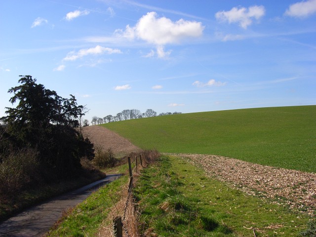
Rowley Wood is a charming forest located in Oxfordshire, England. Situated within the wider area of the Chiltern Hills, this woodland is a haven for nature enthusiasts and those seeking a peaceful retreat.

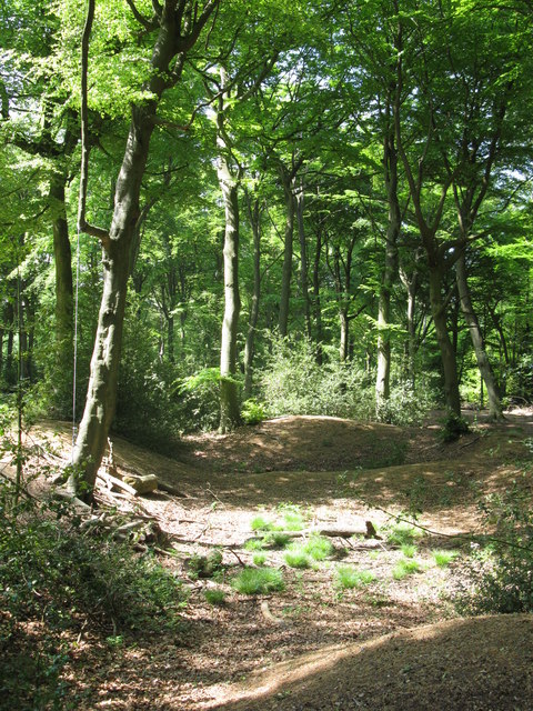
Covering an area of approximately 100 acres, Rowley Wood is primarily made up of towering beech trees, creating a dense and picturesque canopy. The forest floor is adorned with a vibrant array of wildflowers, ferns, and mosses, adding to the enchanting atmosphere of the woodland.

The wood is home to a diverse range of wildlife, including birds, mammals, and insects. Birdwatchers will delight in the opportunity to spot species such as woodpeckers, owls, and various songbirds. Mammals such as deer, foxes, and squirrels also call Rowley Wood their home, making it an ideal place for wildlife enthusiasts to observe these creatures in their natural habitat.

For those looking to explore the wood, there are numerous walking trails that wind their way through the forest. These paths cater to all abilities, ranging from gentle strolls to more challenging hikes. Along the way, visitors can enjoy the peaceful ambiance and discover hidden gems such as picturesque ponds and ancient trees.

Rowley Wood holds great historical significance, with evidence of human activity dating back thousands of years. Archaeological finds, including flint tools and pottery shards, have been discovered within the woodland, providing a fascinating insight into the area's past.

Overall, Rowley Wood offers a serene and captivating experience for nature lovers and history enthusiasts alike, making it a must-visit destination in Oxfordshire.

If you have any feedback on the listing, please let us know in the comments section below.
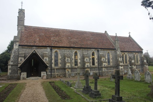
Rowley Wood Images

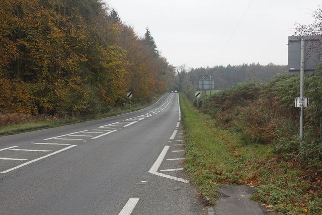
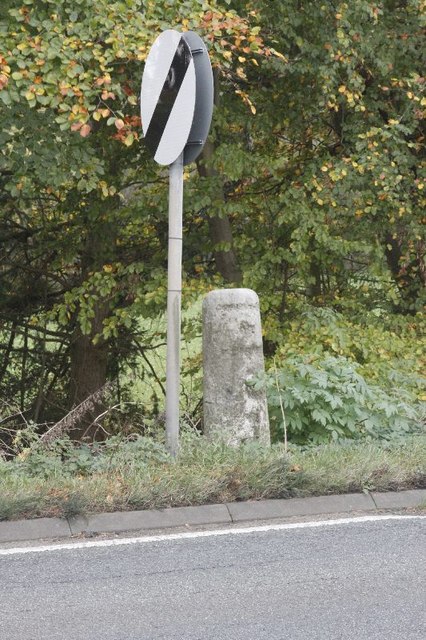
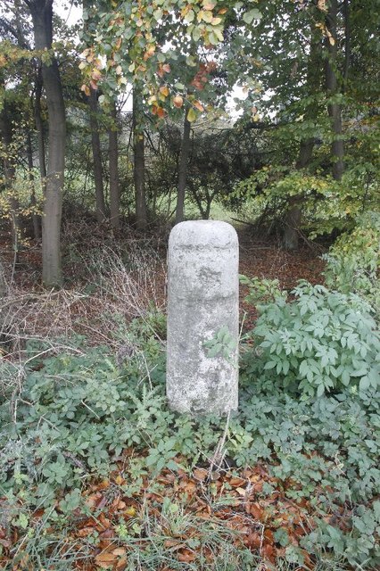
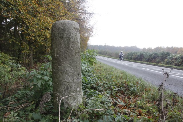
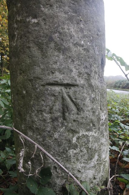
Images are sourced within 2km of 51.564947/-0.94312702 or Grid Reference SU7385. Thanks to Geograph Open Source API. All images are credited.

Hollow at Famous Copse One of several old clay and flint pits in this area. This one has a rope swing.
Hollow at Famous Copse
One of several old clay and flint pits in this area. This one has a rope swing.
Sergeant H W Luker Of the Royal Australian Air force who died 18th June 1943 aged 24. Taken in Fairmile Cemetery Henley. <span class="nowrap"><a title="http://www.lostbombers.co.uk/bomber.php?id=1256" rel="nofollow ugc noopener" href="http://www.lostbombers.co.uk/bomber.php?id=1256">Link</a><img style="margin-left:2px;" alt="External link" title="External link - shift click to open in new window" src="https://s1.geograph.org.uk/img/external.png" width="10" height="10"/></span>
Sergeant H W Luker
Of the Royal Australian Air force who died 18th June 1943 aged 24. Taken in Fairmile Cemetery Henley. LinkExternal link
Trooper G E Mitchell The Headstone behind is inscribed Private A E Ball, the graves are in Fairmile Cemetery Henley.
Trooper G E Mitchell
The Headstone behind is inscribed Private A E Ball, the graves are in Fairmile Cemetery Henley.
Another milestone Looking along the A4130 at Bix in the Nettlebed direction. I'm here for another milestone which is just over beside the National speed limits apply sign to the left.
Another milestone
Looking along the A4130 at Bix in the Nettlebed direction. I'm here for another milestone which is just over beside the National speed limits apply sign to the left.
The Fox at Bix This used to be the Fox Public house; though I never have been in the place it always looked popular when I went past.  It shut many years ago as can be seen in the link. <a href="https://www.geograph.org.uk/photo/36346">SU7285 : The Fox at Bix</a>
The Fox at Bix
This used to be the Fox Public house; though I never have been in the place it always looked popular when I went past. It shut many years ago as can be seen in the link. SU7285 : The Fox at Bix
Empty Pub Sign Always sad to see an empty pub sign, this used to hold the Fox at Bix but alas it will no more.
Empty Pub Sign
Always sad to see an empty pub sign, this used to hold the Fox at Bix but alas it will no more.
Milestone by the limit Another of the London Road Milestones which is just outside Bix village near Henley.  This one is another that was defaced of its mileage and towns during the Second World War.  It would have had Oxford 20, Abingdon 18, London 38, Henley 3 on it.
Milestone by the limit
Another of the London Road Milestones which is just outside Bix village near Henley. This one is another that was defaced of its mileage and towns during the Second World War. It would have had Oxford 20, Abingdon 18, London 38, Henley 3 on it.
Milestone at Bix The milestone at Bix near Henley which would have had Oxford 20, Abingdon 18, London 38, Henley 3 carved in it but was defaced during the Second World War.
Milestone at Bix
The milestone at Bix near Henley which would have had Oxford 20, Abingdon 18, London 38, Henley 3 carved in it but was defaced during the Second World War.
Motorbiking View of the Bix milestone looking in the Nettlebed direction with a motorbike making its way along the A4130.  You can see a benchmark on the base.
Motorbiking
View of the Bix milestone looking in the Nettlebed direction with a motorbike making its way along the A4130. You can see a benchmark on the base.
Close up of the Bix Milestone Closeup of the Bix benchmark on the milestone. <a href="https://www.geograph.org.uk/photo/2687326">SU7285 : Motorbiking</a>
Close up of the Bix Milestone
Closeup of the Bix benchmark on the milestone. SU7285 : Motorbiking
Looking towards Bix View from the milestone at Bix towards the village.
Looking towards Bix
View from the milestone at Bix towards the village.
Junction on the end View across the A4130 towards a road junction just on the end of the dual carriageway up Bix Hill.
Junction on the end
View across the A4130 towards a road junction just on the end of the dual carriageway up Bix Hill.
Another view of the Fox Another view of the Fox public house which I think closed back in the 1990's.
Another view of the Fox
Another view of the Fox public house which I think closed back in the 1990's.
End of the carriageway View towards the end of the dual carriageway on Bix Hill
End of the carriageway
View towards the end of the dual carriageway on Bix Hill
St James View of St James at Bix, which is a new church, as the old one is a ruin near Bix Bottom.
St James
View of St James at Bix, which is a new church, as the old one is a ruin near Bix Bottom.
North side of St James View of the north side of St James in Bix which at the moment looks to be having some work done.
North side of St James
View of the north side of St James in Bix which at the moment looks to be having some work done.
The west end The west end of St James at Bix.
The west end
The west end of St James at Bix.
The Chancel End View of the Chancel end of St James at Bix.
The Chancel End
View of the Chancel end of St James at Bix.
Show me another place!

Rowley Wood is located at Grid Ref: SU7385 (Lat: 51.564947, Lng: -0.94312702)

Administrative County: Oxfordshire

District: South Oxfordshire

Police Authority: Thames Valley

What 3 Words

///warms.earmarked.reject. Near Remenham, Berkshire

Related Wikis

Nearby Amenities

Located within 500m of 51.564947,-0.94312702
Barrier: kissing_gate
Bicycle: no
Foot: yes
Lat/Long: 51.5651586/-0.9412523
Man Made: mast
Lat/Long: 51.5651376/-0.9413498
Barrier: kissing_gate
Bicycle: no
Foot: yes
Lat/Long: 51.5659003/-0.9363634
Maxspeed: 30 mph
Traffic Sign: maxspeed
Lat/Long: 51.5673846/-0.9390813
Barrier: kissing_gate
Bicycle: no
Foot: yes
Lat/Long: 51.5656811/-0.9377197
The data included in this document is from www.openstreetmap.org. The data is made available under ODbL.

Have you been to Rowley Wood?

Leave your review of Rowley Wood below (or comments, questions and feedback).