Rectory Plantation
Wood, Forest in Nottinghamshire Bassetlaw
England
Rectory Plantation
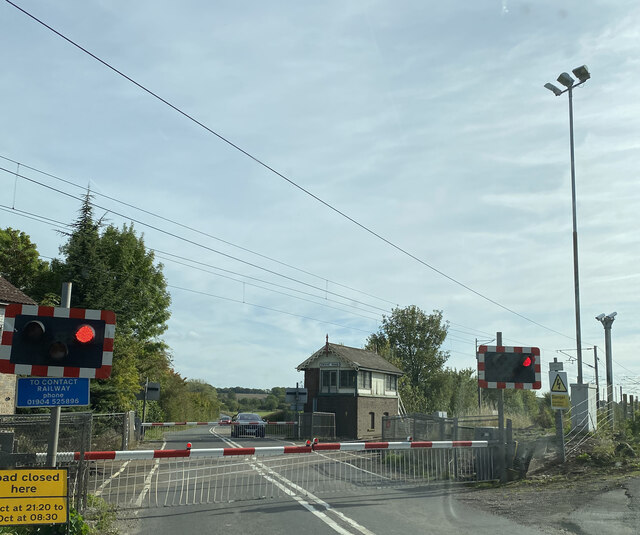
Rectory Plantation is a picturesque woodland area located in Nottinghamshire, England. Situated in the heart of the Sherwood Forest, this ancient woodland is known for its natural beauty and rich history. The plantation is nestled within the larger Sherwood Forest, a renowned national nature reserve.
Covering an area of approximately 200 acres, Rectory Plantation is home to a diverse range of flora and fauna. The woodland is predominantly composed of native tree species, including oak, birch, beech, and ash. These trees provide a habitat for a variety of wildlife, such as deer, squirrels, birds, and insects.
The history of Rectory Plantation dates back centuries, with evidence of human activity in the area dating as far back as the medieval period. The plantation itself was established in the 18th century and was originally used for timber production. Today, it serves as a popular recreational spot for locals and visitors alike, offering opportunities for walking, cycling, and wildlife observation.
The woodland is crisscrossed by a network of well-maintained trails, allowing visitors to explore its beauty at their own pace. Along these trails, one can find informative signposts detailing the history and ecological significance of the area. In addition, there are picnic areas and benches scattered throughout the plantation, providing a perfect spot for relaxation and enjoying the peaceful ambiance.
Rectory Plantation is not only a haven for nature enthusiasts but also plays a vital role in conservation efforts. The woodland is actively managed to maintain its biodiversity and protect its delicate ecosystem. Through careful management practices, the aim is to ensure the longevity and sustainability of this beautiful woodland for future generations to enjoy.
If you have any feedback on the listing, please let us know in the comments section below.
Rectory Plantation Images
Images are sourced within 2km of 53.304192/-0.90073187 or Grid Reference SK7379. Thanks to Geograph Open Source API. All images are credited.
Rectory Plantation is located at Grid Ref: SK7379 (Lat: 53.304192, Lng: -0.90073187)
Administrative County: Nottinghamshire
District: Bassetlaw
Police Authority: Nottinghamshire
What 3 Words
///inflating.painted.pavement. Near Retford, Nottinghamshire
Nearby Locations
Related Wikis
St Helen's Church, Grove
St. Helen's Church, Grove is a parish church in the Church of England in Grove, Nottinghamshire. The church is Grade II listed by the Department for Digital...
Grove Hall
Grove Hall was an extended Tudor country house located between Retford and Grove in Nottinghamshire, England, and was part of an extensive estate. ��2...
Grove, Nottinghamshire
Grove is a small village and civil parish, located about 2 miles (3.2 km) south-west of Retford, Nottinghamshire. The population of the civil parish as...
Little Gringley
Little Gringley is a hamlet in the Bassetlaw district of northern Nottinghamshire, England. It is 130 miles (210 km) north of London, 27 miles (43 km)...
Nether Headon
Nether Headon is a hamlet in Headon cum Upton civil parish, within the Bassetlaw district, of the county of Nottinghamshire, England. It is 3.5 miles south...
Jamia Al-Karam
Jamia Al-Karam, (Arabic: جامعة الکرم) is an Islamic institution Islamic Studies College located in Eaton in 30-acre premises. The Darul Uloom is managed...
Eaton, Nottinghamshire
Eaton is a village and civil parish in Nottinghamshire, England. According to the 2001 census it had a population of 105, increasing to 233 at the 2011...
St Peter's Church, Headon-cum-Upton
St. Peter's Church, Headon-cum-Upton is a parish church in the Church of England in Headon, Nottinghamshire. The church is Grade I listed by the Department...
Nearby Amenities
Located within 500m of 53.304192,-0.90073187Have you been to Rectory Plantation?
Leave your review of Rectory Plantation below (or comments, questions and feedback).
