Black Bourton

Civil Parish in Oxfordshire West Oxfordshire

England

Black Bourton

St Stephen's Church, Clanfield
St Stephen's Church, Clanfield Credit: AJD

Black Bourton is a civil parish located in West Oxfordshire, England. Situated about 7 miles west of the market town of Witney, it has a population of around 400 residents. The parish encompasses the village of Black Bourton and the surrounding rural areas.

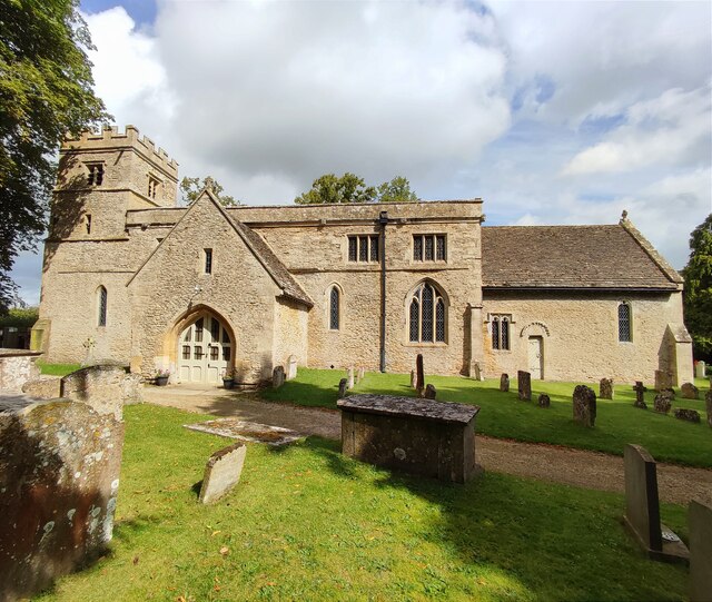
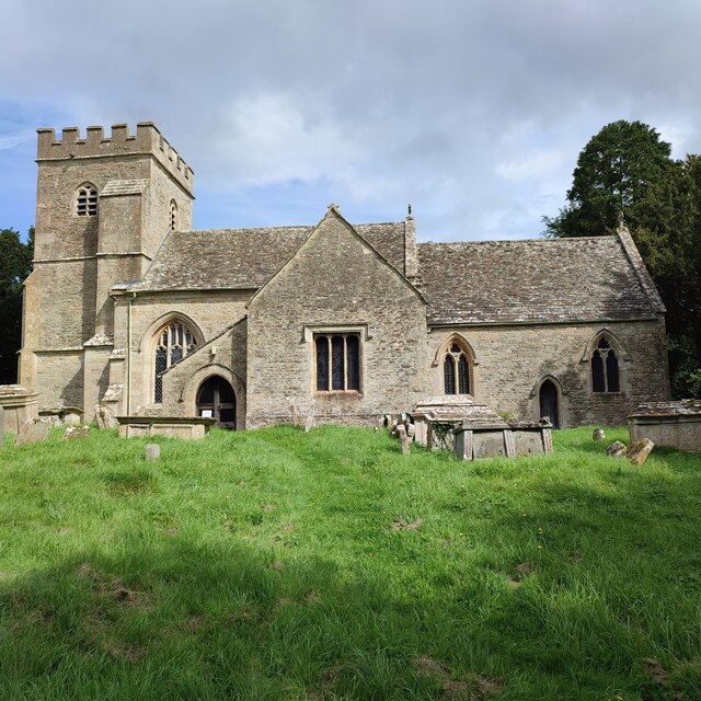
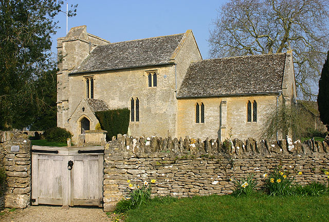
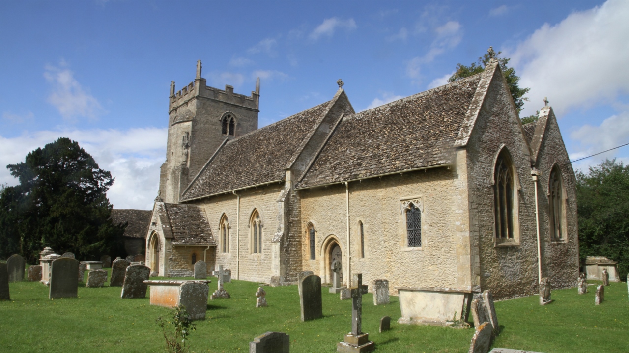
The village of Black Bourton itself is a small and picturesque settlement, with a charming rural character. It is predominantly made up of traditional stone cottages and houses, giving the village a quintessentially English feel. The village is centered around the parish church, St. Mary the Virgin, which dates back to the 12th century and is known for its beautiful stained glass windows.

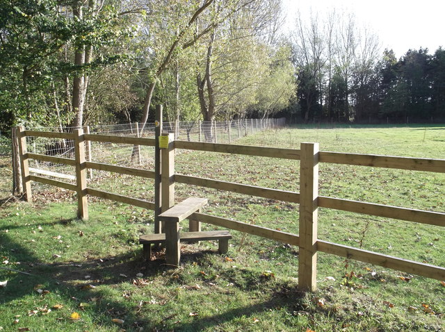
Black Bourton is surrounded by a scenic countryside landscape, making it an ideal location for those seeking a tranquil and rural lifestyle. The area is dotted with farms and open fields, providing ample opportunities for outdoor activities such as walking, cycling, and horse riding. The River Thames flows nearby, adding to the natural beauty of the surroundings.

While Black Bourton is a small village, it benefits from a strong sense of community. There is a village hall that serves as a hub for various social and community events. The village also has a primary school, ensuring that families with young children have convenient access to education.

Overall, Black Bourton offers a peaceful and idyllic setting for residents who appreciate the charm of a rural English village while still being within a short distance of larger towns and cities.

If you have any feedback on the listing, please let us know in the comments section below.

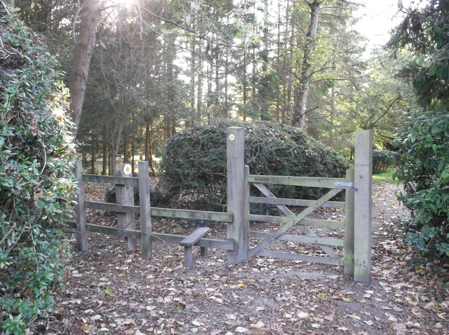
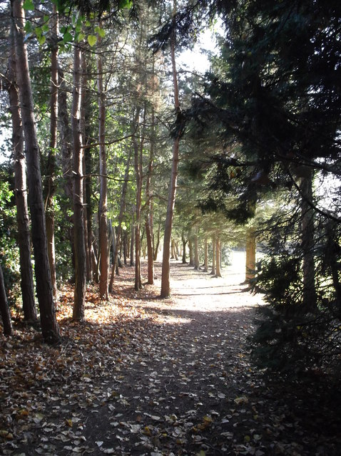
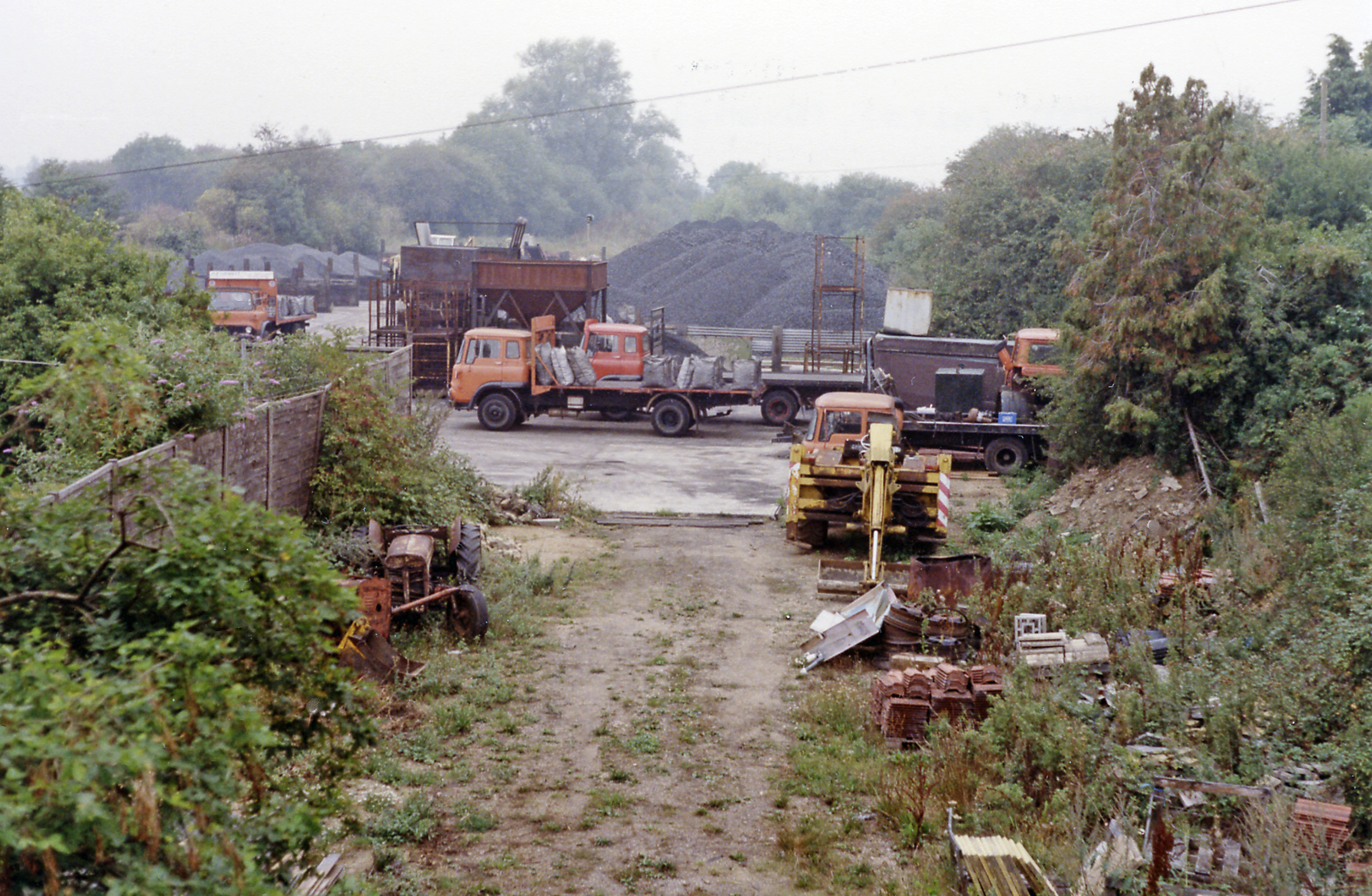
Black Bourton Images

Images are sourced within 2km of 51.734692/-1.586102 or Grid Reference SP2804. Thanks to Geograph Open Source API. All images are credited.

St Stephen's Church, Clanfield
St Mary's Church, Black Bourton
St Peter's Church, Alvescot
St Stephen's church, Clanfield A small 13th century church, standing behind its churchyard on the north-west edge of the village, next to Chestlion Farm which may have been the manor house. <span class="nowrap"><a title="http://www.oxfordshirecotswolds.org/site/attractions/clanfield-st-stephen-s-church-p521151" rel="nofollow ugc noopener" href="http://www.oxfordshirecotswolds.org/site/attractions/clanfield-st-stephen-s-church-p521151">Link</a><img style="margin-left:2px;" alt="External link" title="External link - shift click to open in new window" src="https://s1.geograph.org.uk/img/external.png" width="10" height="10"/></span>
St Stephen's church, Clanfield
A small 13th century church, standing behind its churchyard on the north-west edge of the village, next to Chestlion Farm which may have been the manor house. LinkExternal link
The tower of St Stephen's church, Clanfield The western tower, with four pinnacles and a squat figure of Saint Stephen on its south-east corner, houses a ring of eight bells. <span class="nowrap"><a title="http://www.oxfordshirecotswolds.org/site/attractions/clanfield-st-stephen-s-church-p521151" rel="nofollow ugc noopener" href="http://www.oxfordshirecotswolds.org/site/attractions/clanfield-st-stephen-s-church-p521151">Link</a><img style="margin-left:2px;" alt="External link" title="External link - shift click to open in new window" src="https://s1.geograph.org.uk/img/external.png" width="10" height="10"/></span>
The tower of St Stephen's church, Clanfield
The western tower, with four pinnacles and a squat figure of Saint Stephen on its south-east corner, houses a ring of eight bells. LinkExternal link
St Stephen's church from the eastern end
Interior view of St Stephen's church
Inside St Stephen's church
Stile on the footpath Behind Alvescot village hall. The footpath splits a bit further ahead, one path going to Kencot, around a mile away, and the other to Langford, nearer 3 miles.
Stile on the footpath
Behind Alvescot village hall. The footpath splits a bit further ahead, one path going to Kencot, around a mile away, and the other to Langford, nearer 3 miles.
Children's playground in Alvescot
Gate and stile beside Alvescot village hall The start of the public footpath to Kencot and Langford.
Gate and stile beside Alvescot village hall
The start of the public footpath to Kencot and Langford.
Path through the trees The start of the footpath from Alvescot to Kencot and Langford.
Path through the trees
The start of the footpath from Alvescot to Kencot and Langford.
Butlers Court Farm Seen from the Kencot - Alvescot footpath. The footpath here runs across the middle of the field, although the actual course is not obvious just at the moment.
Butlers Court Farm
Seen from the Kencot - Alvescot footpath. The footpath here runs across the middle of the field, although the actual course is not obvious just at the moment.
The Vines A nice gastro-pub with a welcoming efficient staff and good food.
The Vines
A nice gastro-pub with a welcoming efficient staff and good food.
Burford Road junction with Bampton Lane
Bampton Road junction with Station Road
B4020 enters Alvescot The slight rise in the carriageway and the brick parapet are remnants of the East Gloucestershire Railway that linked Witney and Fairford.
B4020 enters Alvescot
The slight rise in the carriageway and the brick parapet are remnants of the East Gloucestershire Railway that linked Witney and Fairford.
Main Road passes The Plough
Show me another place!

Black Bourton is located at Grid Ref: SP2804 (Lat: 51.734692, Lng: -1.586102)

Administrative County: Oxfordshire

District: West Oxfordshire

Police Authority: Thames Valley

What 3 Words

///reset.gilding.packing. Near Carterton, Oxfordshire

Related Wikis

Black Bourton

Black Bourton is a village and civil parish about 2 miles (3 km) south of Carterton, Oxfordshire. The village is on Black Bourton Brook, a tributary of...

Carterton railway station (England)

Carterton railway station was a railway station just north of the village of Black Bourton on the Oxford, Witney and Fairford Railway between Oxford and...

Alvescot

Alvescot is a village and civil parish about 1+1⁄2 miles (2.4 km) south of Carterton, Oxfordshire, England. The 2011 Census recorded the parish's population...

Alvescot railway station

Alvescot railway station was a railway station between the Oxfordshire villages of Alvescot and Black Bourton, in England. It was Oxford, Witney and Fairford...

RAF Brize Norton

Royal Air Force Brize Norton or RAF Brize Norton (IATA: BZZ, ICAO: EGVN) in Oxfordshire, about 75 mi (121 km) west north-west of London, is the largest...

Kencot

Kencot is a village and civil parish about 2 miles (3 km) south-west of Carterton in West Oxfordshire. The 2011 Census recorded the parish's population...

Clanfield, Oxfordshire

Clanfield is a village and civil parish about three miles (5 km) south of Carterton, Oxfordshire. The parish includes the hamlet of Little Clanfield one...

Bampton Castle, Oxfordshire

Bampton Castle was in the village of Bampton, Oxfordshire (grid reference SP310031). Differing accounts of its origin exist. One states that in about 1142...

Related Videos

Morris Ring Archive Film 75 Bampton Morris Spring Bank Holiday Monday 1987

Film 75 Bampton Morris Spring Bank Holiday Monday 1987 8, C, +, 25'35”, 18fps This film was made by Barry Care and shows ...

Place to Eat in the Cotswolds

The Double Red Duke #cotswold #placestovisit #placestoeat #england #travel.

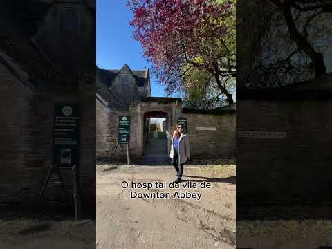
Vila de Downton Abbey no interior da Inglaterra, Bampton

Conheça a autêntica vila de Bampton, o cenário encantador por trás do icônico seriado Downton Abbey! Embarque ...

Nearby Amenities

Located within 500m of 51.734692,-1.586102
Black Bourton
Place: village
Wikidata: Q3454164
Wikipedia: en:Black Bourton
Lat/Long: 51.7340302/-1.5869317
Bus Stop
Memorial
Bus: yes
Naptan AtcoCode: 340000100MEM
Naptan Bearing: E
Naptan CommonName: Memorial
Naptan Indicator: Outside
Naptan Landmark: Memorial
Naptan NaptanCode: oxfamtpt
Naptan Street: unclassified road
Naptan Verified: no
Public Transport: platform
Source: naptan_import
Lat/Long: 51.7338555/-1.5865967
Bus Stop
Memorial
Bus: yes
Naptan AtcoCode: 340000100OPP
Naptan Bearing: W
Naptan CommonName: Memorial
Naptan Indicator: Opposite
Naptan Landmark: Memorial
Naptan NaptanCode: oxfawjgd
Naptan Street: unclassified road
Naptan Verified: no
Public Transport: platform
Source: naptan_import
Lat/Long: 51.7337125/-1.5867332
Restaurant
The Vines
Addr Postcode: OX18 2PF
Addr Street: Burford Road
Source: website
Tourism: hotel
Website: https://vinesblackbourton.co.uk/
Lat/Long: 51.7363222/-1.5857377
Power: pole
Source: Bing
Lat/Long: 51.7324539/-1.5919207
Power: pole
Source: Bing
Lat/Long: 51.7318293/-1.5883024
Power: pole
Source: Bing
Lat/Long: 51.7321664/-1.5897361
Power: pole
Source: Bing
Lat/Long: 51.731472/-1.5868916
Power: pole
Lat/Long: 51.732314/-1.5903997
Power: pole
Lat/Long: 51.7321408/-1.5908195
Power: pole
Lat/Long: 51.7321325/-1.5906505
Power: pole
Lat/Long: 51.7324747/-1.591085
The data included in this document is from www.openstreetmap.org. The data is made available under ODbL.

Have you been to Black Bourton?

Leave your review of Black Bourton below (or comments, questions and feedback).