Black Bourton

Settlement in Oxfordshire West Oxfordshire

England

Black Bourton

RAF Brize Norton Gate One Looking from a garage forecourt at Gate One at RAF Brize Norton.
RAF Brize Norton Gate One Credit: Oscar

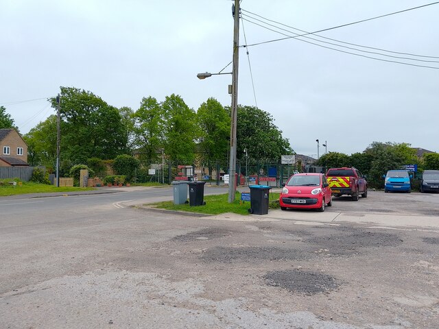
Black Bourton is a small village located in the West Oxfordshire district of Oxfordshire, England. Situated approximately 17 miles west of Oxford, the village is nestled in a rural setting, surrounded by picturesque countryside and rolling hills. It has a population of around 300 residents.

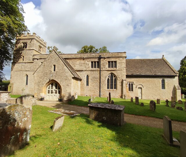
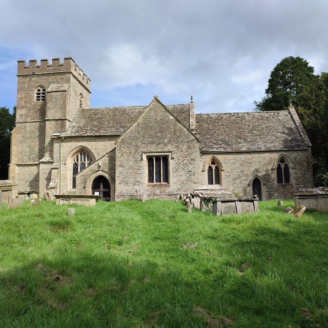
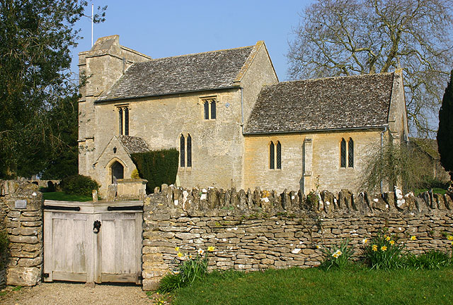
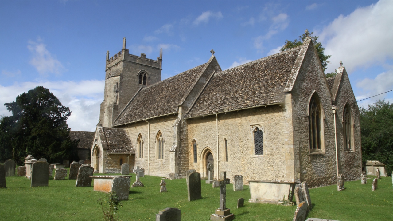
The village is known for its quaint and traditional charm, with many of its buildings dating back several centuries. The local St. Mary's Church, built in the 13th century, is a notable architectural landmark and a focal point of the community.

Black Bourton is well-connected to nearby towns and cities, with the A40 road running just south of the village, providing easy access to Oxford and Cheltenham. The closest railway station is located in nearby Bampton, approximately 3 miles away.

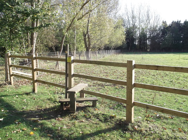
Despite its small size, Black Bourton offers a range of amenities to its residents. The village has a primary school, a village hall, and a local pub, the Vines Inn, which serves as a social hub for the community. Additionally, the surrounding area provides ample opportunities for outdoor activities, including walking, cycling, and exploring the nearby Cotswolds Area of Outstanding Natural Beauty.

Overall, Black Bourton is a charming and idyllic village, offering its residents a peaceful and picturesque countryside lifestyle, while still being within easy reach of larger towns and cities.

If you have any feedback on the listing, please let us know in the comments section below.

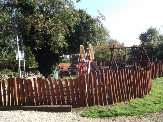
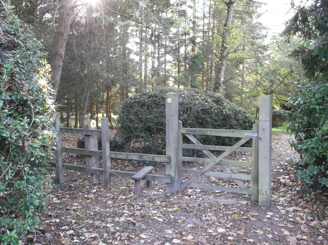
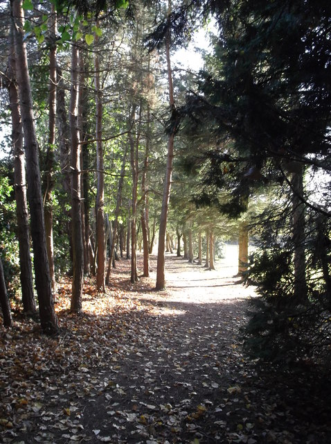
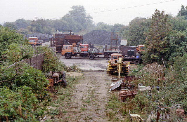
Black Bourton Images

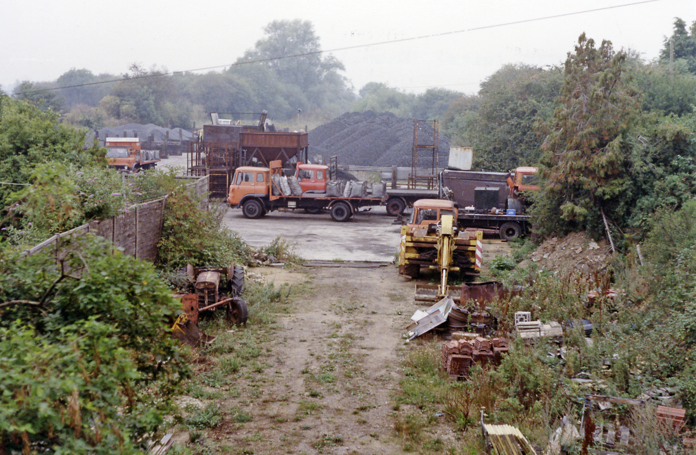
Images are sourced within 2km of 51.735749/-1.590147 or Grid Reference SP2804. Thanks to Geograph Open Source API. All images are credited.

RAF Brize Norton Gate One Looking from a garage forecourt at Gate One at RAF Brize Norton.
RAF Brize Norton Gate One
Looking from a garage forecourt at Gate One at RAF Brize Norton.
St Mary's Church, Black Bourton
St Peter's Church, Alvescot
Stile on the footpath Behind Alvescot village hall. The footpath splits a bit further ahead, one path going to Kencot, around a mile away, and the other to Langford, nearer 3 miles.
Stile on the footpath
Behind Alvescot village hall. The footpath splits a bit further ahead, one path going to Kencot, around a mile away, and the other to Langford, nearer 3 miles.
Children's playground in Alvescot
Gate and stile beside Alvescot village hall The start of the public footpath to Kencot and Langford.
Gate and stile beside Alvescot village hall
The start of the public footpath to Kencot and Langford.
Path through the trees The start of the footpath from Alvescot to Kencot and Langford.
Path through the trees
The start of the footpath from Alvescot to Kencot and Langford.
Butlers Court Farm Seen from the Kencot - Alvescot footpath. The footpath here runs across the middle of the field, although the actual course is not obvious just at the moment.
Butlers Court Farm
Seen from the Kencot - Alvescot footpath. The footpath here runs across the middle of the field, although the actual course is not obvious just at the moment.
The Vines A nice gastro-pub with a welcoming efficient staff and good food.
The Vines
A nice gastro-pub with a welcoming efficient staff and good food.
Burford Road junction with Bampton Lane
Bampton Road junction with Station Road
B4020 enters Alvescot The slight rise in the carriageway and the brick parapet are remnants of the East Gloucestershire Railway that linked Witney and Fairford.
B4020 enters Alvescot
The slight rise in the carriageway and the brick parapet are remnants of the East Gloucestershire Railway that linked Witney and Fairford.
Main Road passes The Plough
B4020 junction south of Springfield House
Site of Alvescot station, 1990 View SW, towards Fairford: ex-GWR Oxford - Witney - Fairford line. This station and the branch (from Wolvercote Junction) closed completely on 18/6/62 - except goods continued as far as Witney until 2/11/70. The site is clearly a contractor's yard.
Site of Alvescot station, 1990
View SW, towards Fairford: ex-GWR Oxford - Witney - Fairford line. This station and the branch (from Wolvercote Junction) closed completely on 18/6/62 - except goods continued as far as Witney until 2/11/70. The site is clearly a contractor's yard.
The Plough Inn (1), Main Road, Alvescot, Oxon A popular public house belonging to the well-known Wadworth's Brewery of Devizes in Wiltshire. It was probably acquired when Wadworths purchased an Oxfordshire brewery some decades ago.

<a href="https://www.geograph.org.uk/photo/3829808">SP2704 : The Plough Inn (2) - sign, Main Road, Alvescot, Oxon</a>.
The Plough Inn (1), Main Road, Alvescot, Oxon
A popular public house belonging to the well-known Wadworth's Brewery of Devizes in Wiltshire. It was probably acquired when Wadworths purchased an Oxfordshire brewery some decades ago. SP2704 : The Plough Inn (2) - sign, Main Road, Alvescot, Oxon.
The Plough Inn (2) - sign, Main Road, Alvescot, Oxon The sign is on top of a post, by the entrance to the car park. Unfortunately the main sign was obscured by the flag, part of the celebrations for the Diamond Jubilee of the reign of H.M. Queen Elizabeth II.

Many pubs are named the Plough, reflecting its great importance in the life of the countryside. It would also have been easily recognisable to people in the past, when most were unable to read and write.  Usually the sign shows the agricultural implement that was essential for turning over the soil in preparation for the new year's sowing of seeds, as is the case here. But sometimes they will show the star constellation of Ursa Major, which is often known as The Plough.

<a href="https://www.geograph.org.uk/photo/3829791">SP2704 : The Plough Inn (1), Main Road, Alvescot, Oxon</a>.
The Plough Inn (2) - sign, Main Road, Alvescot, Oxon
The sign is on top of a post, by the entrance to the car park. Unfortunately the main sign was obscured by the flag, part of the celebrations for the Diamond Jubilee of the reign of H.M. Queen Elizabeth II. Many pubs are named the Plough, reflecting its great importance in the life of the countryside. It would also have been easily recognisable to people in the past, when most were unable to read and write. Usually the sign shows the agricultural implement that was essential for turning over the soil in preparation for the new year's sowing of seeds, as is the case here. But sometimes they will show the star constellation of Ursa Major, which is often known as The Plough. SP2704 : The Plough Inn (1), Main Road, Alvescot, Oxon.
Red Lion House (the former Red Lion), Main Road, Alvescot, Oxon There used to be three public houses in the village but now there is just the Plough Inn. The Red Lion is one of those that closed some years ago. It is known to have been in business by 1832 and acquired by the Witney brewers Cinch & Co in the late 19th century. It closed in the second half of the 20th century and is now a private residence. The building is believed to incorporate earlier cottages.
Red Lion House (the former Red Lion), Main Road, Alvescot, Oxon
There used to be three public houses in the village but now there is just the Plough Inn. The Red Lion is one of those that closed some years ago. It is known to have been in business by 1832 and acquired by the Witney brewers Cinch & Co in the late 19th century. It closed in the second half of the 20th century and is now a private residence. The building is believed to incorporate earlier cottages.
Show me another place!

Black Bourton is located at Grid Ref: SP2804 (Lat: 51.735749, Lng: -1.590147)

Administrative County: Oxfordshire

District: West Oxfordshire

Police Authority: Thames Valley

What 3 Words

///beats.magnitude.assures. Near Carterton, Oxfordshire

Related Wikis

Black Bourton

Black Bourton is a village and civil parish about 2 miles (3 km) south of Carterton, Oxfordshire. The village is on Black Bourton Brook, a tributary of...

Carterton railway station (England)

Carterton railway station was a railway station just north of the village of Black Bourton on the Oxford, Witney and Fairford Railway between Oxford and...

Alvescot

Alvescot is a village and civil parish about 1+1⁄2 miles (2.4 km) south of Carterton, Oxfordshire, England. The 2011 Census recorded the parish's population...

Alvescot railway station

Alvescot railway station was a railway station between the Oxfordshire villages of Alvescot and Black Bourton, in England. It was Oxford, Witney and Fairford...

RAF Brize Norton

Royal Air Force Brize Norton or RAF Brize Norton (IATA: BZZ, ICAO: EGVN) in Oxfordshire, about 75 mi (121 km) west north-west of London, is the largest...

Kencot

Kencot is a village and civil parish about 2 miles (3 km) south-west of Carterton in West Oxfordshire. The 2011 Census recorded the parish's population...

Clanfield, Oxfordshire

Clanfield is a village and civil parish about three miles (5 km) south of Carterton, Oxfordshire. The parish includes the hamlet of Little Clanfield one...

Carterton, Oxfordshire

Carterton is a town in West Oxfordshire district in the county of Oxfordshire, England and is 4 miles (6.4 km) south-west of Witney. The 2011 Census recorded...

Nearby Amenities

Located within 500m of 51.735749,-1.590147
Black Bourton
Place: village
Wikidata: Q3454164
Wikipedia: en:Black Bourton
Lat/Long: 51.7340302/-1.5869317
Bus Stop
Memorial
Bus: yes
Naptan AtcoCode: 340000100MEM
Naptan Bearing: E
Naptan CommonName: Memorial
Naptan Indicator: Outside
Naptan Landmark: Memorial
Naptan NaptanCode: oxfamtpt
Naptan Street: unclassified road
Naptan Verified: no
Public Transport: platform
Source: naptan_import
Lat/Long: 51.7338555/-1.5865967
Bus Stop
Memorial
Bus: yes
Naptan AtcoCode: 340000100OPP
Naptan Bearing: W
Naptan CommonName: Memorial
Naptan Indicator: Opposite
Naptan Landmark: Memorial
Naptan NaptanCode: oxfawjgd
Naptan Street: unclassified road
Naptan Verified: no
Public Transport: platform
Source: naptan_import
Lat/Long: 51.7337125/-1.5867332
Restaurant
The Vines
Addr Postcode: OX18 2PF
Addr Street: Burford Road
Source: website
Tourism: hotel
Website: https://vinesblackbourton.co.uk/
Lat/Long: 51.7363222/-1.5857377
Power: pole
Source: Bing
Lat/Long: 51.7324057/-1.5929292
Power: pole
Source: Bing
Lat/Long: 51.7324539/-1.5919207
Power: pole
Source: Bing
Lat/Long: 51.7318293/-1.5883024
Power: pole
Source: Bing
Lat/Long: 51.7321664/-1.5897361
Power: pole
Source: Bing
Lat/Long: 51.7369022/-1.5957323
Power: pole
Source: Bing
Lat/Long: 51.7323667/-1.5945185
Power: pole
Lat/Long: 51.732314/-1.5903997
Power: pole
Lat/Long: 51.7321408/-1.5908195
Power: pole
Lat/Long: 51.7323517/-1.5929317
Power: pole
Lat/Long: 51.7321325/-1.5906505
Power: pole
Lat/Long: 51.7324747/-1.591085
The data included in this document is from www.openstreetmap.org. The data is made available under ODbL.

Have you been to Black Bourton?

Leave your review of Black Bourton below (or comments, questions and feedback).