Black Barn
Settlement in Lincolnshire South Holland
England
Black Barn
Black Barn is a picturesque village located in the county of Lincolnshire, in the eastern part of England. Situated amidst the stunning Lincolnshire Wolds, this charming village is known for its idyllic countryside and rich history.
The village derives its name from a prominent feature, the Black Barn, a historic 18th-century building that stands as a reminder of the area's agricultural heritage. The barn, constructed with distinctive blackened timbers, has become an iconic landmark of the village and is often frequented by visitors.
Surrounded by lush green fields and rolling hills, Black Barn offers a tranquil and scenic environment for residents and visitors alike. The area is renowned for its beautiful walking trails, offering stunning views of the countryside and opportunities to spot wildlife. The village is also home to a number of quaint cottages and traditional houses, adding to its charm.
Despite its small size, Black Barn boasts a strong sense of community, with a friendly and welcoming atmosphere. The village has a community center that serves as a hub for various activities and events, bringing residents together. The local pub, a popular gathering spot, offers a cozy setting to enjoy a meal or a drink while soaking in the village’s unique ambiance.
Overall, Black Barn, Lincolnshire is a hidden gem that attracts visitors seeking a peaceful retreat in the heart of nature, where they can immerse themselves in the beauty of the English countryside and experience the warm hospitality of a close-knit community.
If you have any feedback on the listing, please let us know in the comments section below.
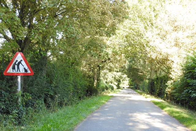
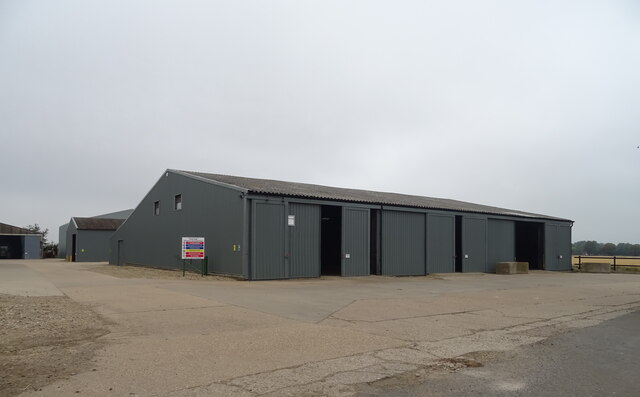
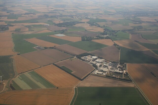
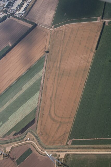
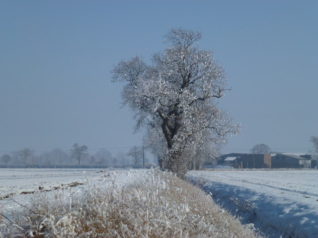
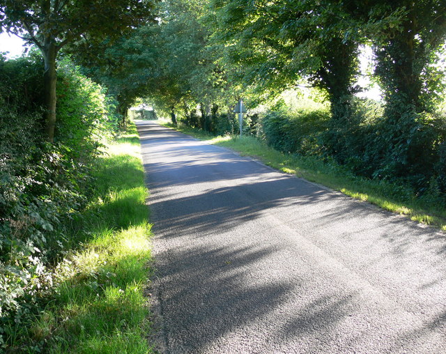
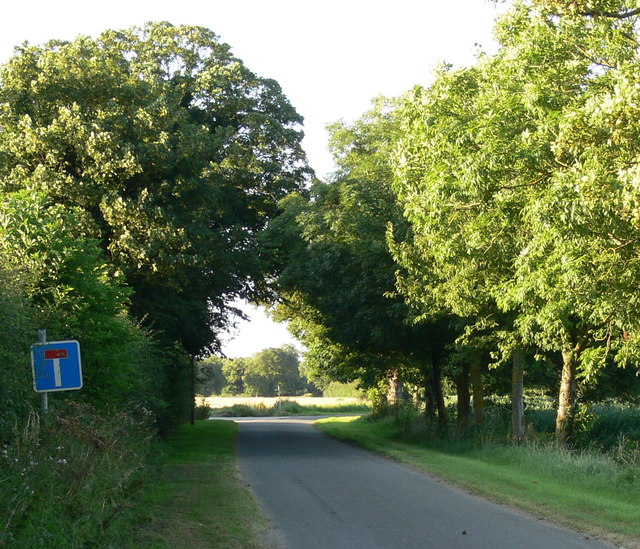
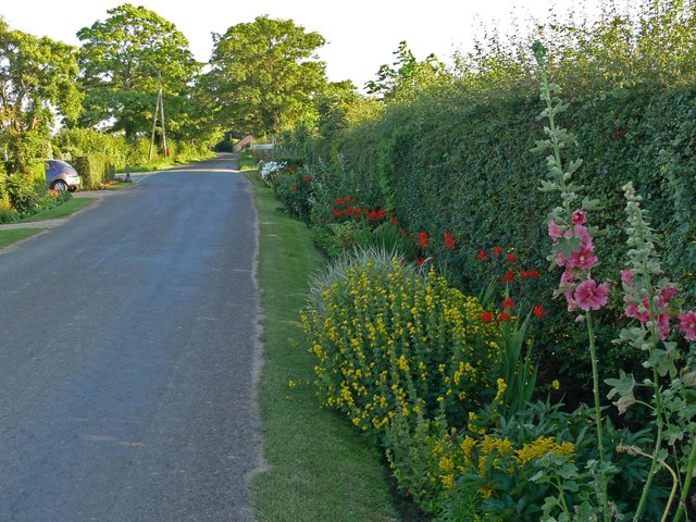
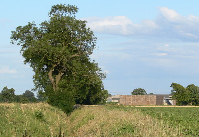
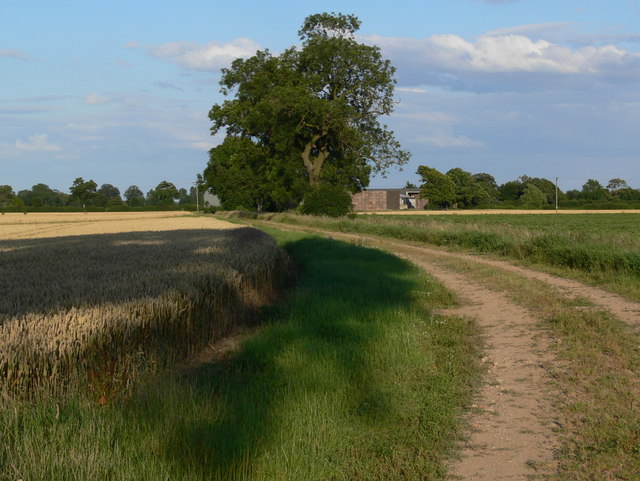
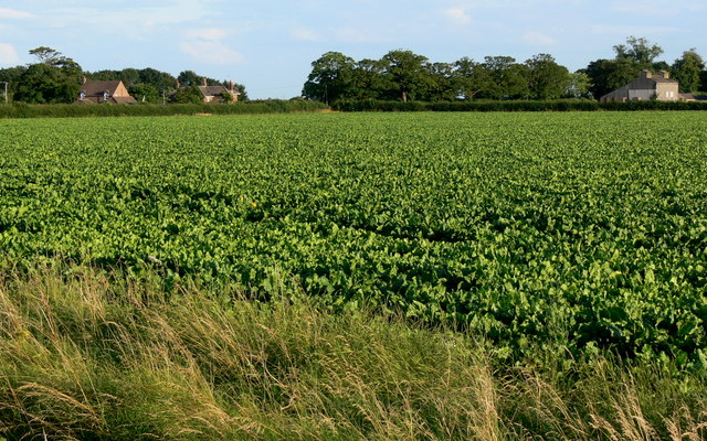
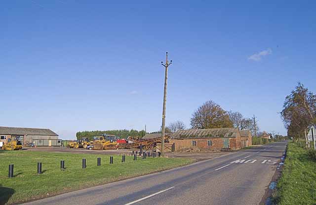
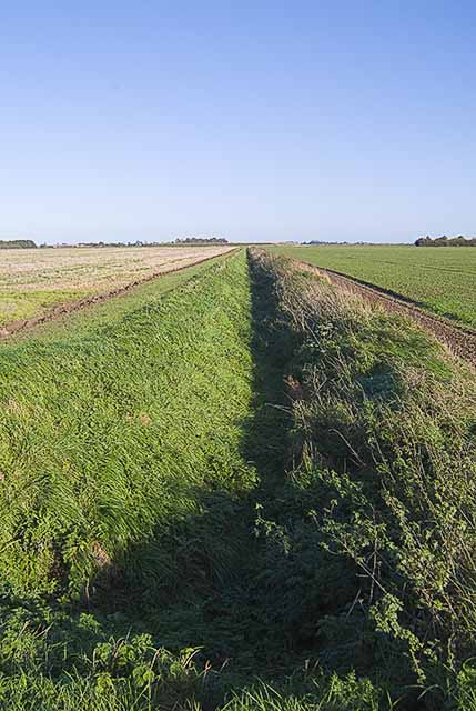
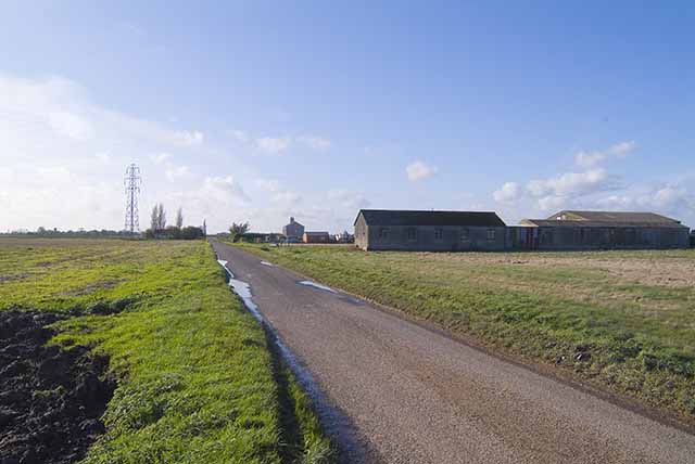
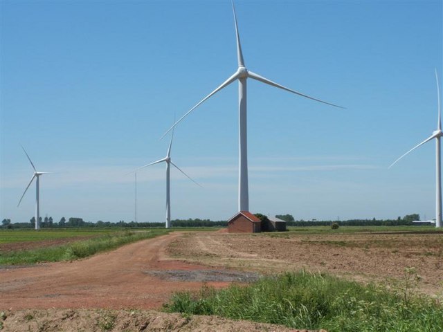
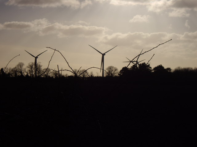
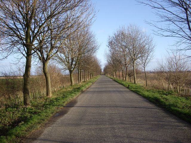
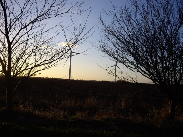
Black Barn Images
Images are sourced within 2km of 52.833/0.1242 or Grid Reference TF4328. Thanks to Geograph Open Source API. All images are credited.
Black Barn is located at Grid Ref: TF4328 (Lat: 52.833, Lng: 0.1242)
Division: Parts of Holland
Administrative County: Lincolnshire
District: South Holland
Police Authority: Lincolnshire
What 3 Words
///warp.nicely.headlight. Near Fleet, Lincolnshire
Nearby Locations
Related Wikis

Lutton, Lincolnshire
Lutton (sometimes Lutton-Bourne) is a village and civil parish in the South Holland district of Lincolnshire, England. The population of the civil parish...

Gedney Dyke
Gedney Dyke is a village in the civil parish of Gedney and the South Holland district of Lincolnshire, England. It is 40 miles (64 km) south-east from...

Gedney Drove End
Gedney Drove End is a village in the civil parish of Gedney and the South Holland district of Lincolnshire, England. It is 40 miles (64 km) south-east...

Holbeach Hurn
Holbeach Hurn is a small fenland village in the civil parish of Holbeach in the South Holland district of southern Lincolnshire, England. It is 2.5 miles...

Holbeach Air Weapons Range
Holbeach Air Weapons Range is a United Kingdom Ministry of Defence academic air weapons range (AWR) situated between Boston and King's Lynn in the civil...

University Academy Long Sutton
University Academy Long Sutton (formerly The Peele Community College) is a co-educational secondary school located in Long Sutton in the English county...
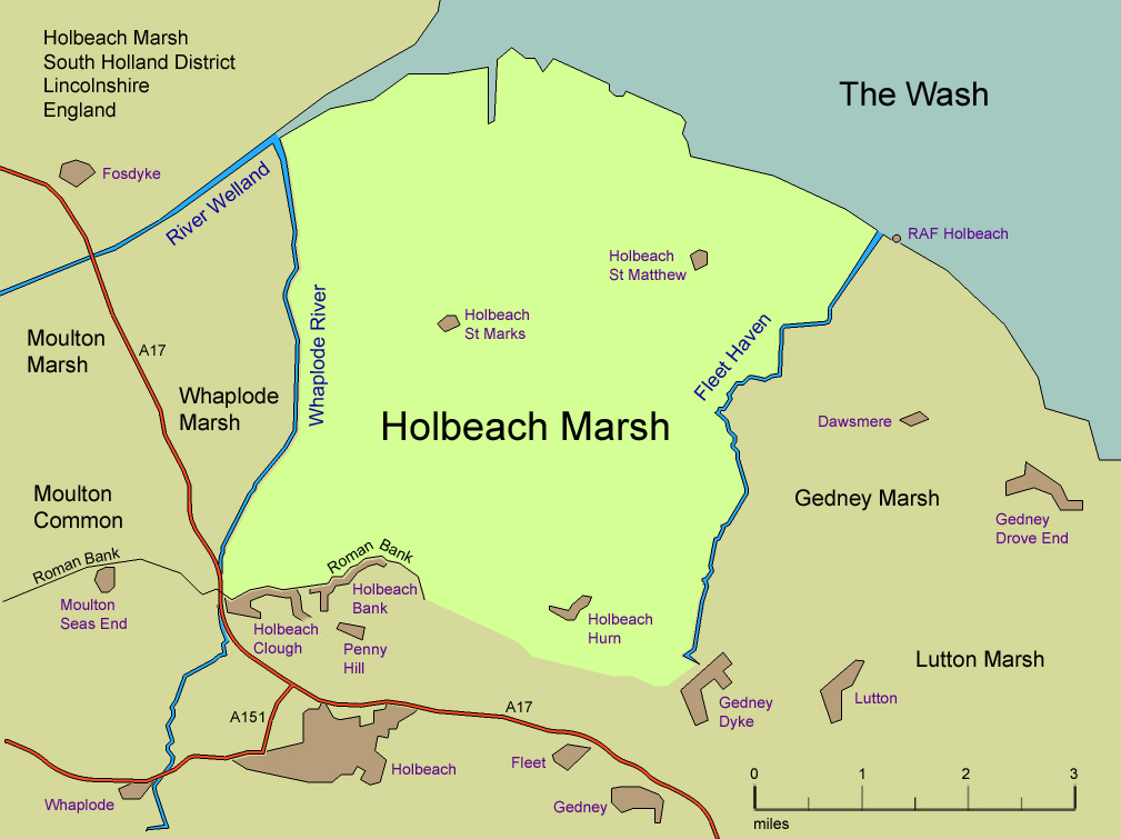
Holbeach Marsh
Holbeach Marsh is a fenland area in the South Holland district of Lincolnshire, England. Holbeach Marsh is situated between the market town of Holbeach...

Holbeach St Matthew
Holbeach St Matthew is a small fenland village in the South Holland district of southern Lincolnshire, England. It lies 6 miles (10 km) north-east from...
Nearby Amenities
Located within 500m of 52.833,0.1242Have you been to Black Barn?
Leave your review of Black Barn below (or comments, questions and feedback).