Black Banks
Settlement in Durham
England
Black Banks
Black Banks, Durham, is a historically significant area located in Durham, North Carolina. Originally established in the late 1800s, Black Banks was a thriving African American community that served as a hub for economic, social, and cultural activities.
The neighborhood derived its name from the presence of several black-owned banks that operated in the area during the early 20th century. These banks played a vital role in providing financial services to the African American community, enabling them to secure loans, invest in businesses, and build wealth. The presence of these institutions fostered a sense of economic empowerment and self-sufficiency within the community.
Black Banks was also home to a variety of businesses, including grocery stores, barber shops, restaurants, and entertainment venues, which catered to the needs and desires of the local population. The area boasted a vibrant nightlife scene, with jazz clubs and theaters attracting both African American and white patrons.
However, like many other historically black neighborhoods across the United States, Black Banks faced significant challenges in the mid-20th century. Urban renewal projects and discriminatory policies led to the displacement of many residents and the decline of the once-thriving community.
Today, efforts are underway to preserve the historical significance of Black Banks. The area has been designated as a historic district, and there are ongoing initiatives to promote economic development and preserve the remaining historical structures. Black Banks serves as a reminder of the resilience and contributions of Durham's African American community throughout history.
If you have any feedback on the listing, please let us know in the comments section below.
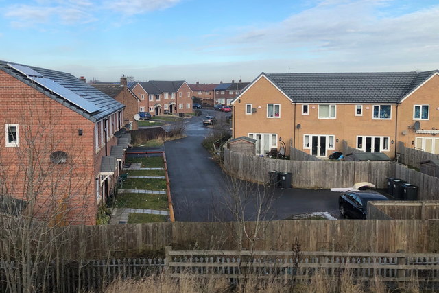
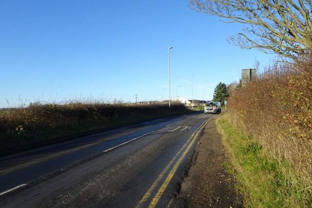
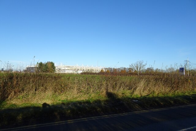
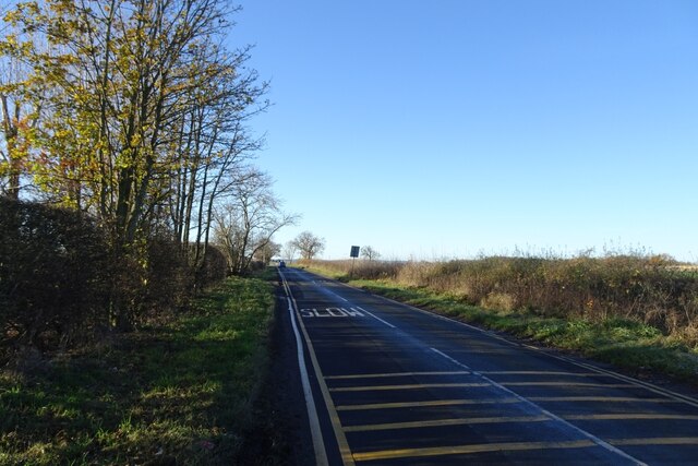
Black Banks Images
Images are sourced within 2km of 54.501867/-1.550607 or Grid Reference NZ2911. Thanks to Geograph Open Source API. All images are credited.


Black Banks is located at Grid Ref: NZ2911 (Lat: 54.501867, Lng: -1.550607)
Unitary Authority: Darlington
Police Authority: Durham
What 3 Words
///jazz.care.ashes. Near Hurworth, Co. Durham
Nearby Locations
Related Wikis

Skerne Park
Skerne Park is a predominantly council owned housing estate in the southern part of the borough of Darlington and the ceremonial county of County Durham...
Darlington F.C.
Darlington Football Club is an association football club based in Darlington, County Durham, England. As of the 2023–24 season, the team competes in the...
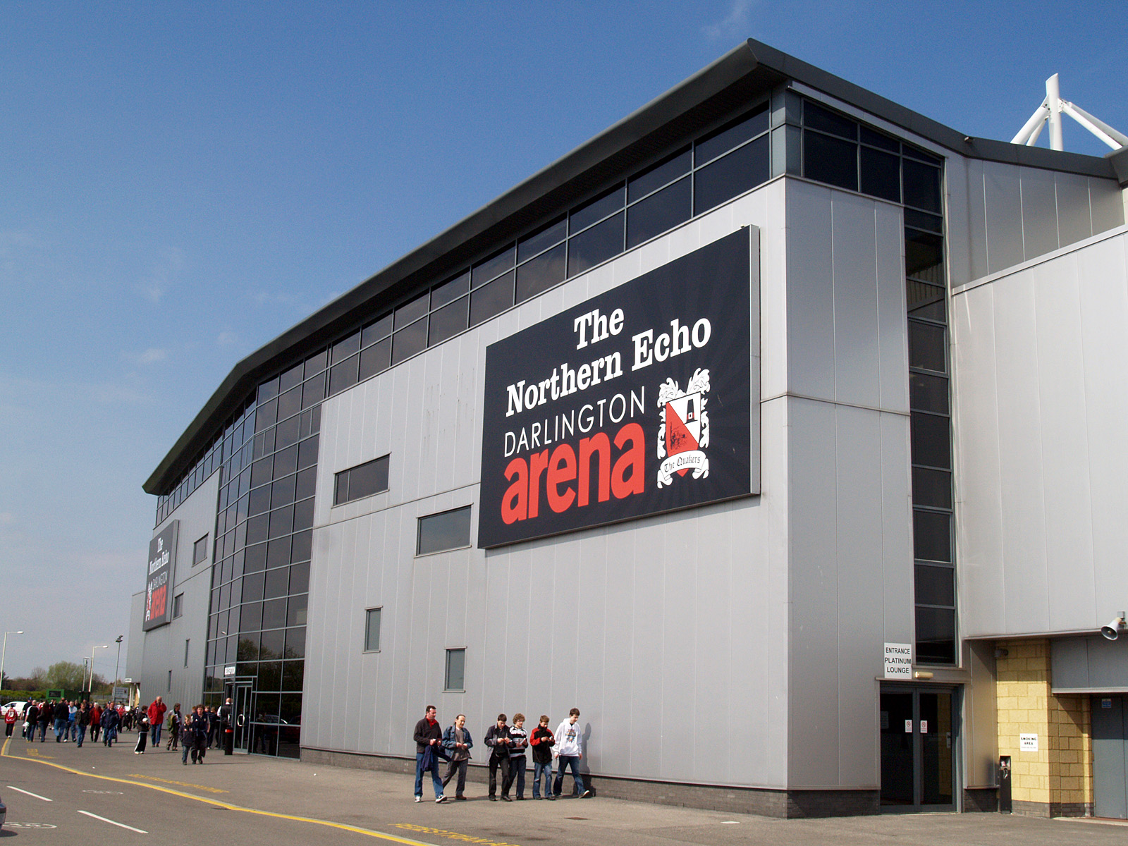
The Darlington Arena
The Darlington Arena is a rugby union stadium, located in Darlington, County Durham. The arena was opened in the summer of 2003, as the new home ground...
Hell Kettles
Hell Kettles is a Site of Special Scientific Interest in the Darlington district of County Durham, England. It was designated for its biological interest...
Nearby Amenities
Located within 500m of 54.501867,-1.550607Have you been to Black Banks?
Leave your review of Black Banks below (or comments, questions and feedback).