Black Bank
Settlement in Cambridgeshire East Cambridgeshire
England
Black Bank
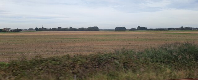
Black Bank is a small village located in the county of Cambridgeshire, England. Situated approximately 4 miles southwest of the market town of March, Black Bank is surrounded by picturesque countryside and offers a tranquil setting for its residents.
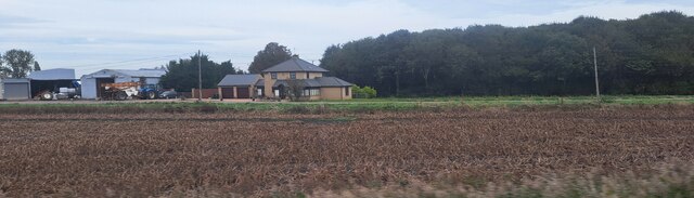
The village is primarily residential, with a population of around 500 people. The housing in Black Bank consists mainly of charming cottages and traditional English homes, adding to the village's quaint and peaceful atmosphere. There are also a few local businesses, including a convenience store and a pub, providing essential services and a sense of community for the residents.
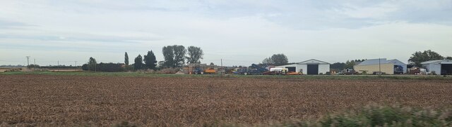
Black Bank benefits from its proximity to the nearby town of March, where residents can access a wider range of amenities such as supermarkets, schools, and healthcare facilities. The village is well-connected to the surrounding areas, with good road links, making it an attractive location for commuters working in nearby towns and cities.
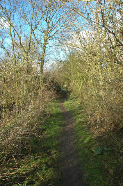
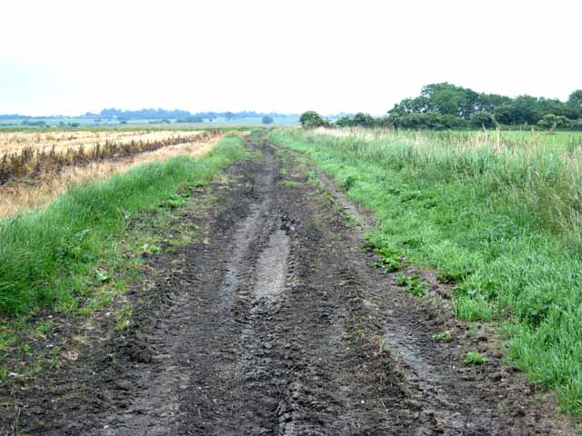
Nature lovers will appreciate the beautiful countryside surrounding Black Bank. The village is located close to the River Nene and is surrounded by a network of footpaths and bridleways, offering opportunities for outdoor activities such as walking, cycling, and horse riding.
Overall, Black Bank, Cambridgeshire, is a charming and peaceful village that provides a high quality of life for its residents, with its idyllic setting, friendly community, and convenient access to nearby amenities.
If you have any feedback on the listing, please let us know in the comments section below.
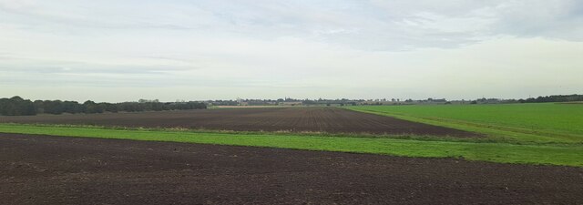
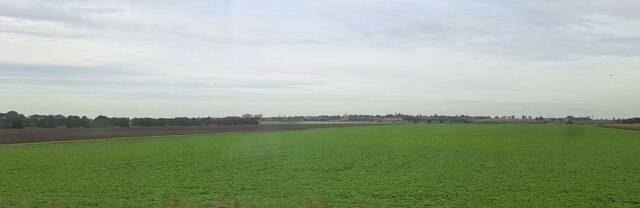
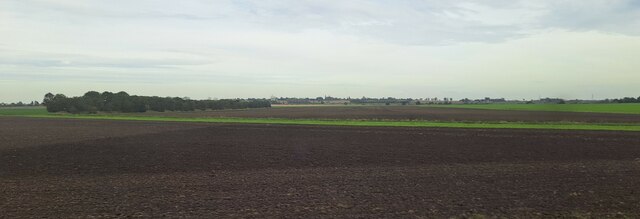
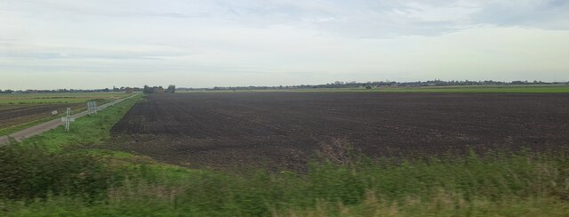
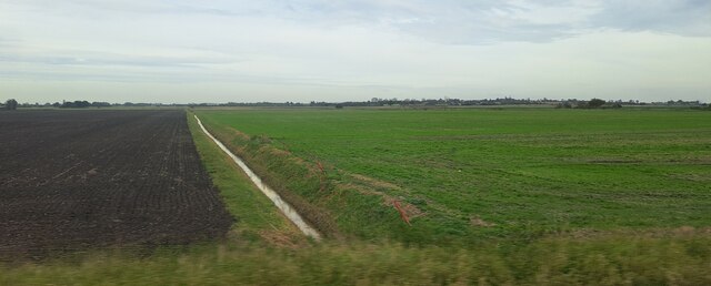
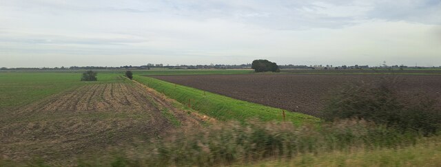
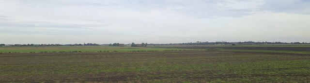
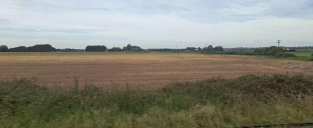
Black Bank Images
Images are sourced within 2km of 52.445869/0.257159 or Grid Reference TL5385. Thanks to Geograph Open Source API. All images are credited.


Black Bank is located at Grid Ref: TL5385 (Lat: 52.445869, Lng: 0.257159)
Division: Isle of Ely
Administrative County: Cambridgeshire
District: East Cambridgeshire
Police Authority: Cambridgeshire
What 3 Words
///gala.emeralds.privately. Near Littleport, Cambridgeshire
Nearby Locations
Related Wikis

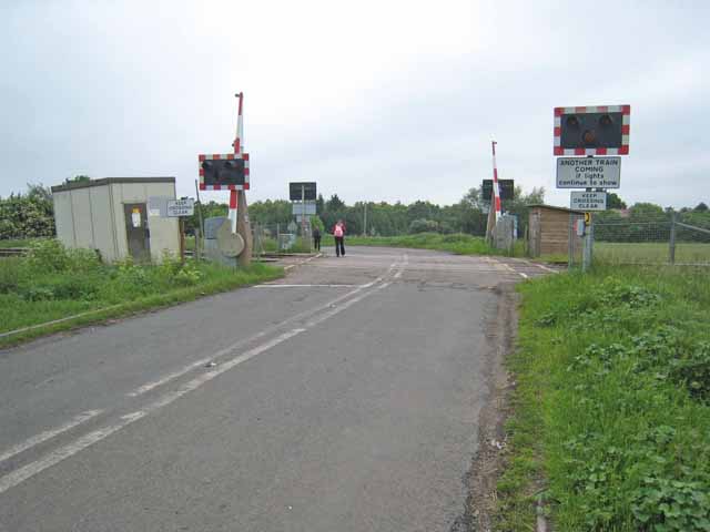
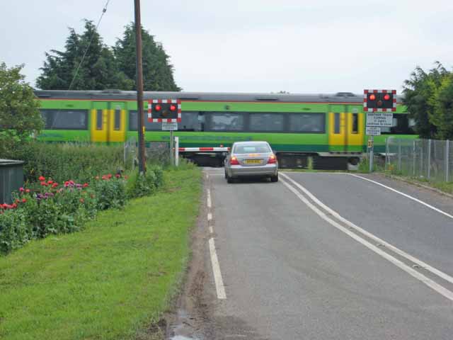
Black Bank railway station
Black Bank railway station was a railway station in Black Bank, Cambridgeshire which is now closed. The station platforms have been demolished but the...

Little Downham
Situated in the east of Cambridgeshire, the village of Little Downham is located just 3 miles (5 km) north of the city of Ely. The Parish of Downham comprises...

Chettisham railway station
Chettisham railway station is a former railway station in Chettisham, Cambridgeshire. It was on the Great Eastern Railway route between Ely and March....

Chettisham Meadow
Chettisham Meadow is a 0.7-hectare (1.7-acre) biological Site of Special Scientific Interest west of Chettisham, 3 km (2 mi) north of Ely in Cambridgeshire...

Little Downham Local Nature Reserve
Little Downham Local Nature Reserve is a 6.6 hectare Local Nature Reserve in Little Downham in Cambridgeshire. It is owned by Little Downham Parish Council...

Chettisham
Chettisham is a pretty hamlet in East Cambridgeshire between Ely and Littleport. The main claim to fame is the attractive St. Michael church. There are...

Littleport
Littleport is a village in East Cambridgeshire, in the Isle of Ely, Cambridgeshire, England. It lies about 6 miles (10 km) north-east of Ely and 6 miles...
RAF Hospital Ely
RAF Hospital Ely (also known as RAF Ely and RAFH Ely), was a Royal Air Force staffed military hospital in Ely, Cambridgeshire, England. The hospital opened...
Nearby Amenities
Located within 500m of 52.445869,0.257159Have you been to Black Bank?
Leave your review of Black Bank below (or comments, questions and feedback).