Bishop's Tachbrook
Civil Parish in Warwickshire Warwick
England
Bishop's Tachbrook
Bishop's Tachbrook is a small civil parish located in the county of Warwickshire, England. Situated approximately 3 miles south of the historic town of Warwick, it covers an area of around 1.5 square miles and has a population of just over 1,000 residents.
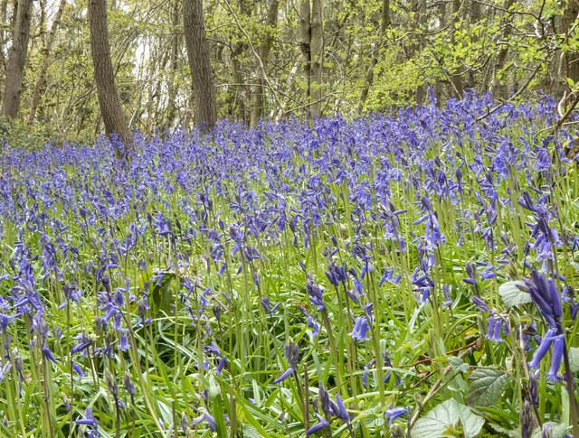
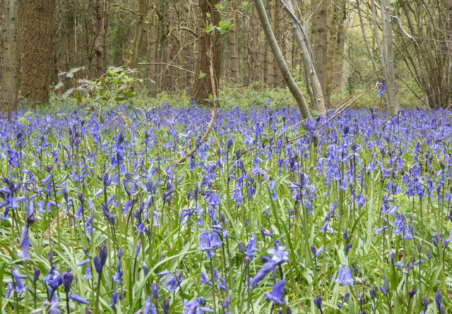
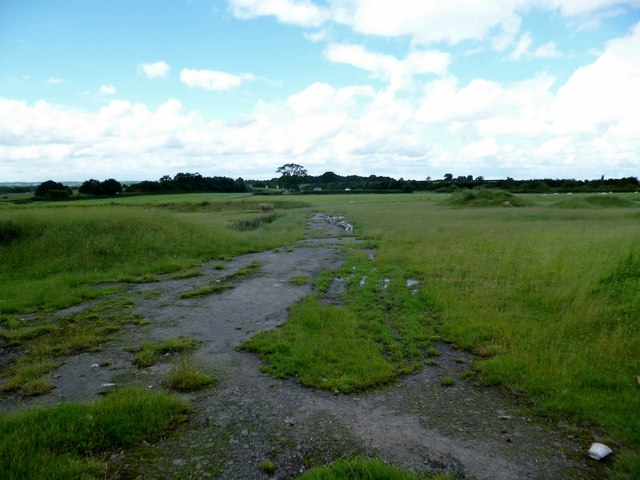
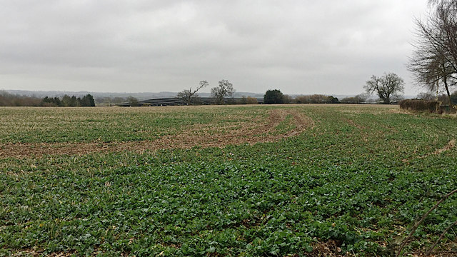
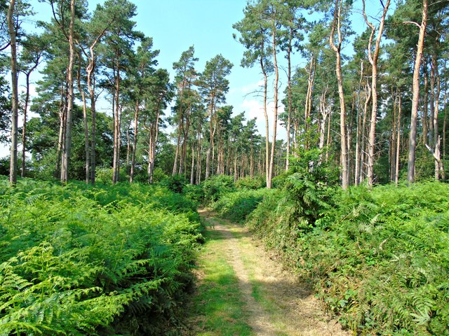
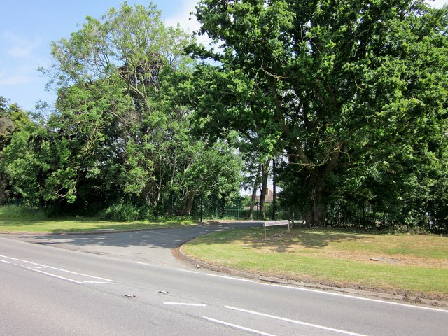
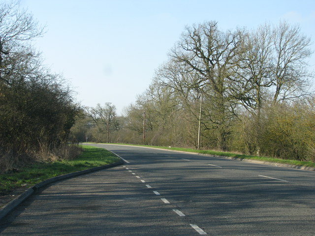
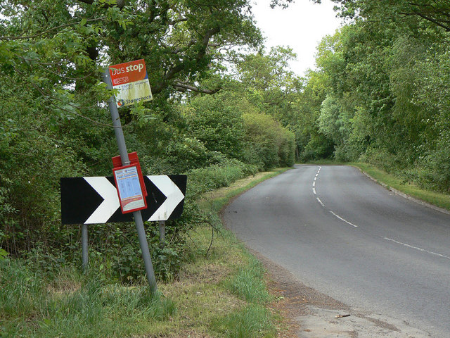
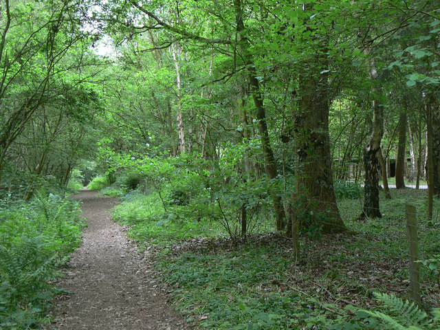
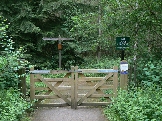
The parish is predominantly rural, characterized by open fields, farmland, and some small pockets of woodland. It is surrounded by picturesque countryside, offering beautiful views of the Warwickshire landscape. The River Leam runs through the parish, adding to its natural charm.
The village itself is a quaint and tight-knit community, with a charming mix of traditional and modern buildings. It has a small but thriving local economy, supported by a few shops, pubs, and a primary school. The parish church, dedicated to St. Chad, is a notable architectural landmark, dating back to the 12th century.
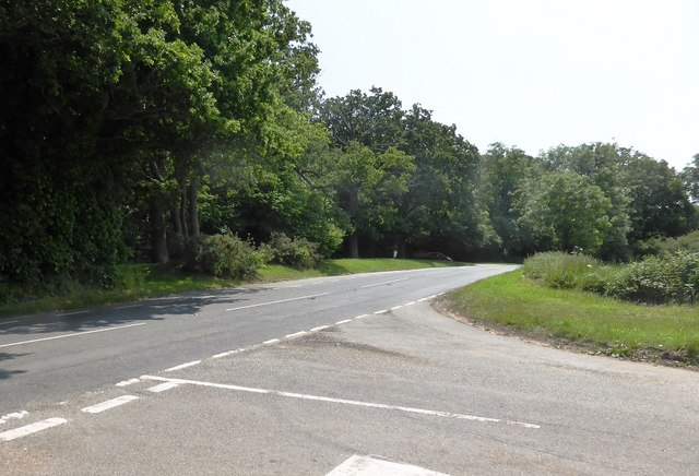
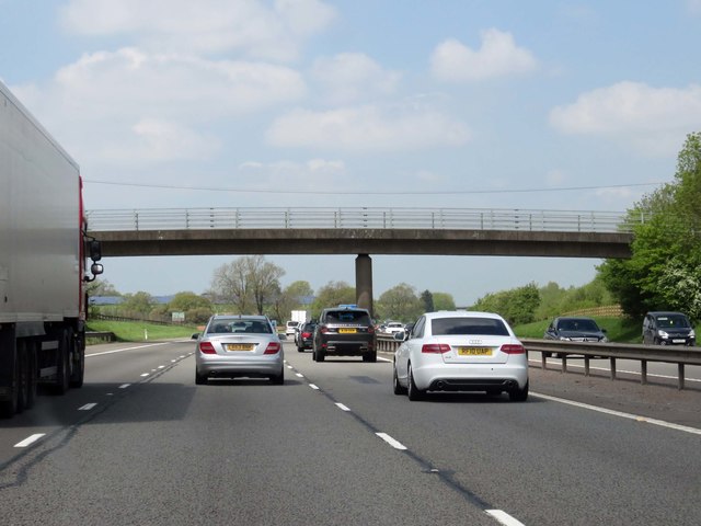
Bishop's Tachbrook benefits from its close proximity to Warwick, where residents have access to a wider range of amenities, including supermarkets, healthcare facilities, and secondary schools. The town also offers excellent transport links, with easy access to major road networks such as the M40 motorway.
The area is known for its strong sense of community spirit, with various local events and activities organized throughout the year. The parish actively promotes the preservation of its natural beauty and heritage, with several conservation areas and listed buildings within its boundaries.
Overall, Bishop's Tachbrook is a charming rural parish that offers a tranquil and idyllic lifestyle, while still providing easy access to the amenities and services of nearby Warwick.
If you have any feedback on the listing, please let us know in the comments section below.
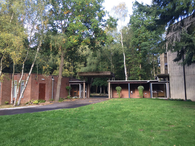
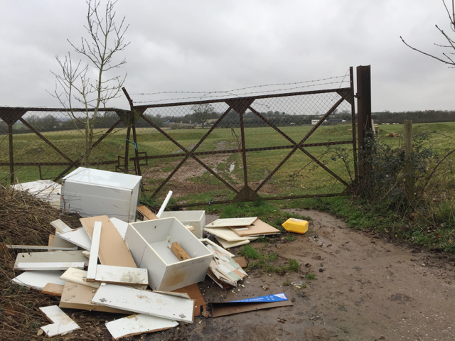
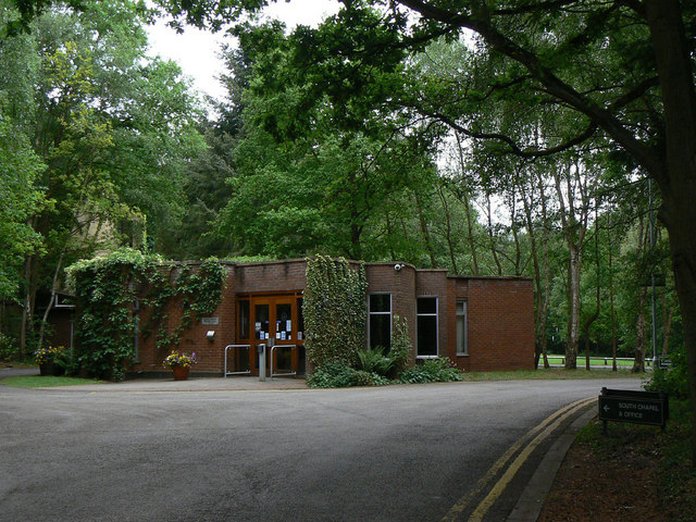
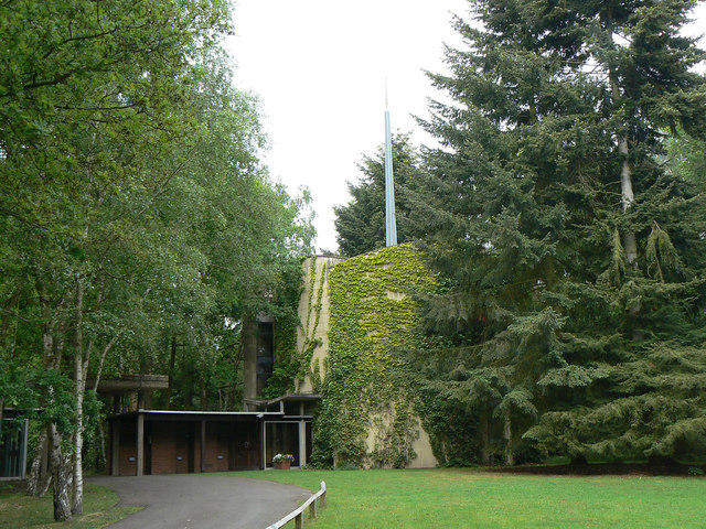
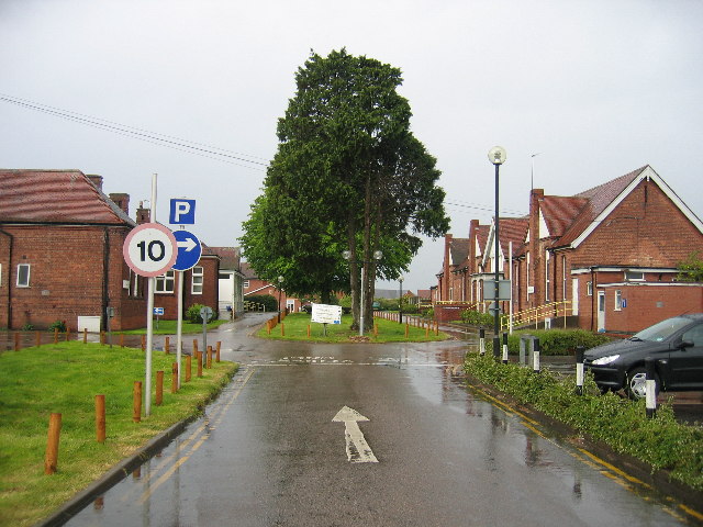
Bishop's Tachbrook Images
Images are sourced within 2km of 52.24708/-1.545348 or Grid Reference SP3161. Thanks to Geograph Open Source API. All images are credited.
Bishop's Tachbrook is located at Grid Ref: SP3161 (Lat: 52.24708, Lng: -1.545348)
Administrative County: Warwickshire
District: Warwick
Police Authority: Warwickshire
What 3 Words
///roof.banquets.workshop. Near Royal Leamington Spa, Warwickshire
Nearby Locations
Related Wikis

Bishop's Tachbrook
Bishop's Tachbrook is a village and civil parish in the Warwick District of Warwickshire, England. The village is about 3 miles (5 km) south of Warwick...

Oakley School, Bishop's Tachbrook
Oakley School is a coeducational all-through school located in Bishop's Tachbrook (near Leamington Spa and Warwick) The school formally opened in September...
Leamington Spa Hospital
Leamington Spa Hospital is located on Heathcote Lane in Warwick, Warwickshire, in England. Originally an isolation hospital, it is now a hospital run by...
Ashorne Hall Railway
The Ashorne Hall Railway was a ridable miniature railway in Warwickshire, England. It was conceived as an added attraction to the collection of mechanical...

Ashorne Hill House
Ashorne Hill House, Ashorne, Warwickshire, England is a late Victorian country house built for Arthur and Ethel Tree by the architect Edward Goldie between...

Whitnash
Whitnash is a town and civil parish located southeast of, and contiguous with Leamington Spa and Warwick in Warwickshire, England. In 2001, it had a population...

Leamington F.C.
Leamington Football Club is a football club based in Leamington Spa, Warwickshire, England. They are currently members of the Southern League Premier Division...
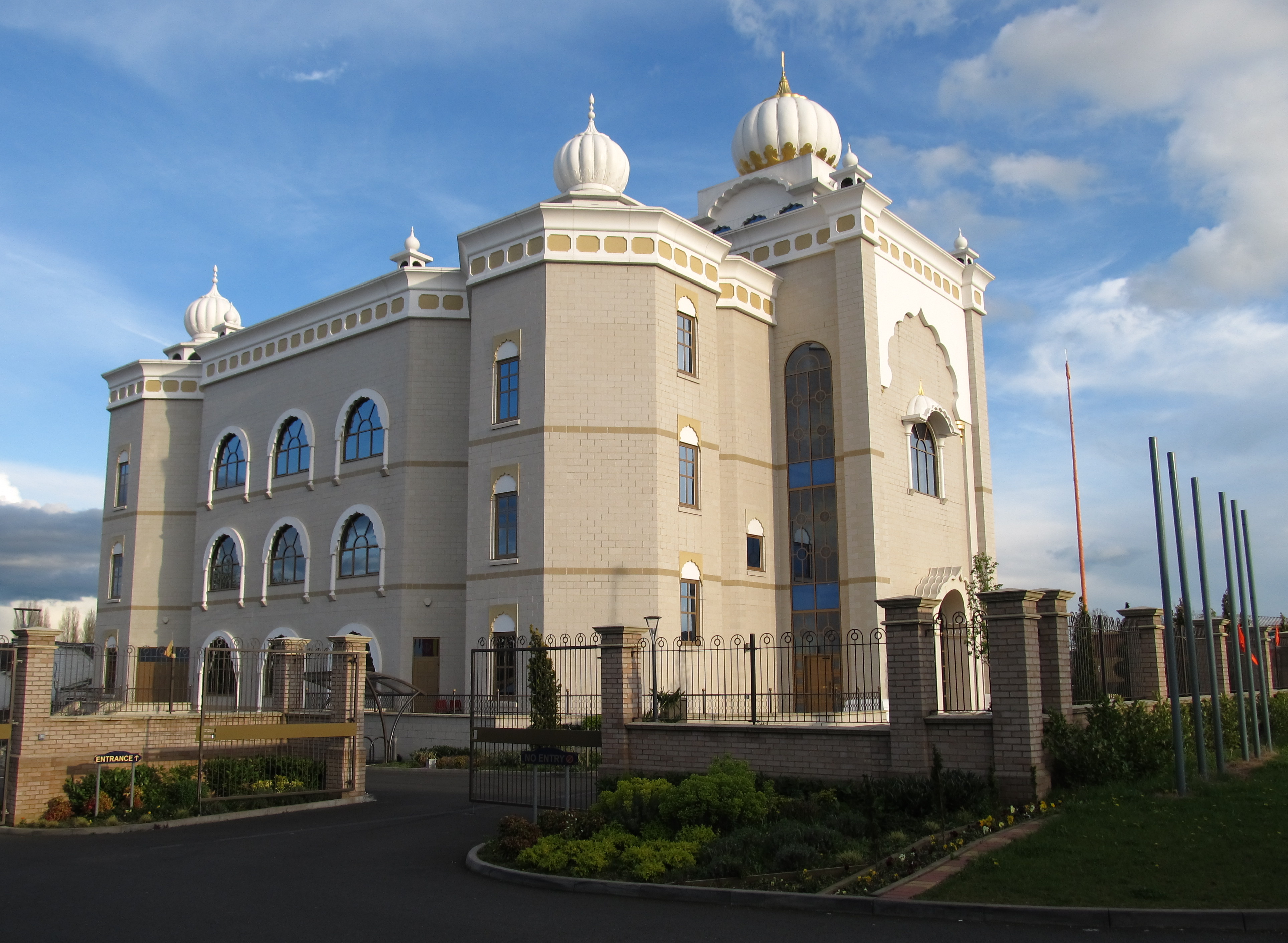
Gurdwara Sahib Leamington and Warwick
The Gurdwara Sahib Leamington and Warwick is a Sikh gurdwara located on Tachbrook Drive, Warwick, England. It primarily serves the community around Leamington...
Nearby Amenities
Located within 500m of 52.24708,-1.545348Have you been to Bishop's Tachbrook?
Leave your review of Bishop's Tachbrook below (or comments, questions and feedback).