Chapel Hill
Hill, Mountain in Warwickshire Warwick
England
Chapel Hill
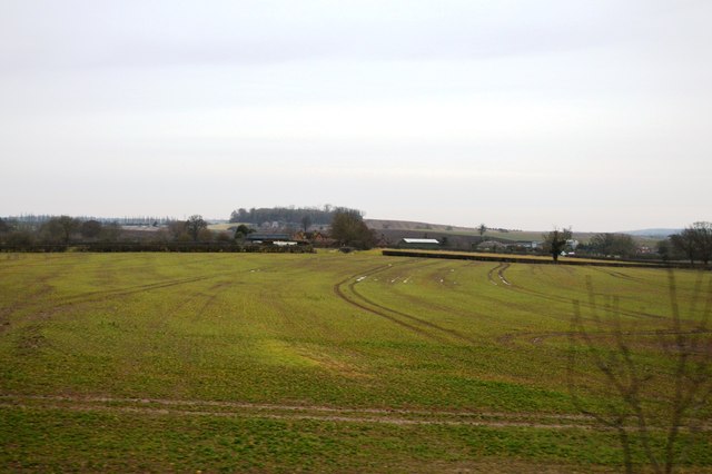
Chapel Hill is a prominent hill located in the county of Warwickshire, England. Situated near the village of Napton-on-the-Hill, Chapel Hill forms part of the stunning landscape of the region. Rising to a height of approximately 198 meters (650 feet) above sea level, it offers breathtaking panoramic views of the surrounding countryside.
The hill gets its name from the ruin of a medieval chapel that once stood at its summit. The chapel, dedicated to St. Lawrence, was built in the 14th century but fell into disrepair over time and was eventually dismantled. Today, only fragments of the chapel's stone foundations remain, serving as a reminder of the area's rich historical past.
Chapel Hill is a popular destination for hikers, nature enthusiasts, and those seeking a peaceful retreat amidst nature. The hill is adorned with lush greenery, including meadows and woodlands, creating a picturesque setting for outdoor activities. Several footpaths and trails wind their way up the hill, allowing visitors to explore its natural beauty and take in the magnificent views from the top.
The hill is also home to an abundance of wildlife, including various species of birds, butterflies, and small mammals. The diverse flora and fauna make Chapel Hill an ideal spot for birdwatching and nature photography.
In addition to its natural attractions, Chapel Hill offers a sense of tranquility and serenity to those who visit. Its secluded location and unspoiled surroundings make it an ideal place for meditation or simply taking a leisurely stroll in the countryside.
Overall, Chapel Hill in Warwickshire is a place of natural beauty, historical significance, and a haven for those seeking solace in nature's embrace.
If you have any feedback on the listing, please let us know in the comments section below.
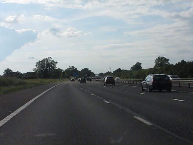
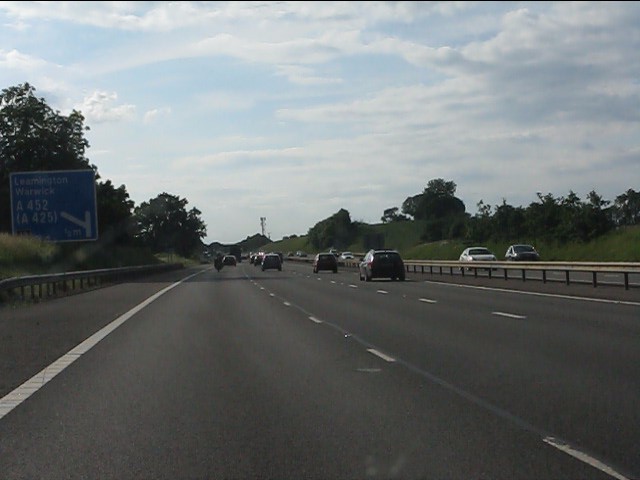
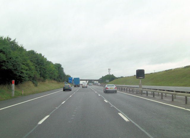
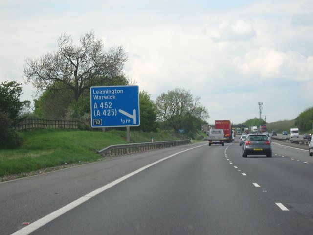
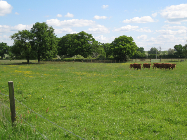
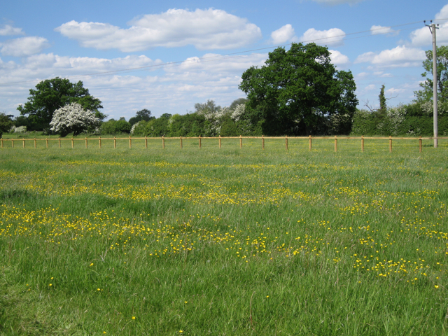
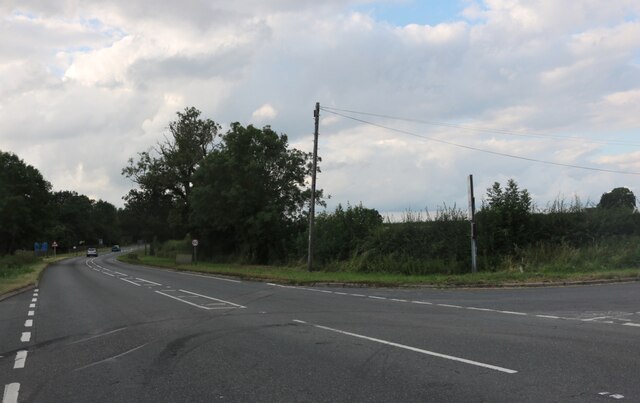
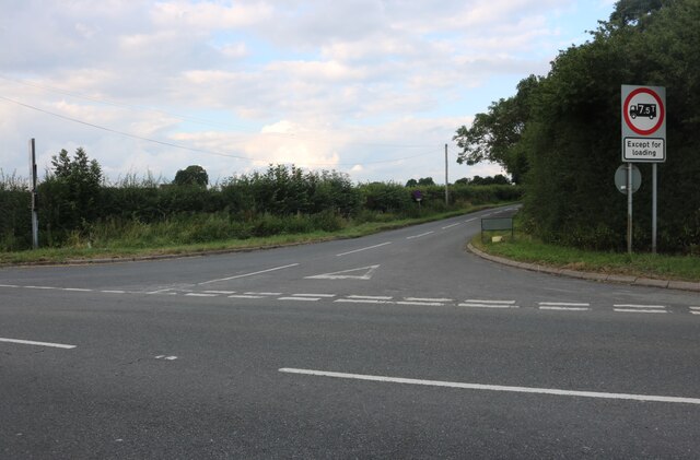
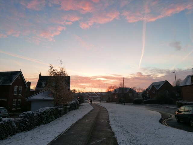
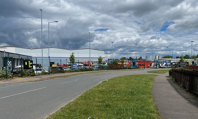
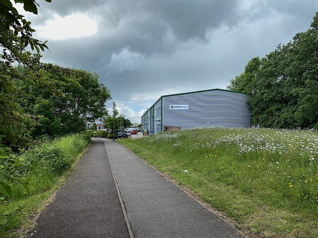
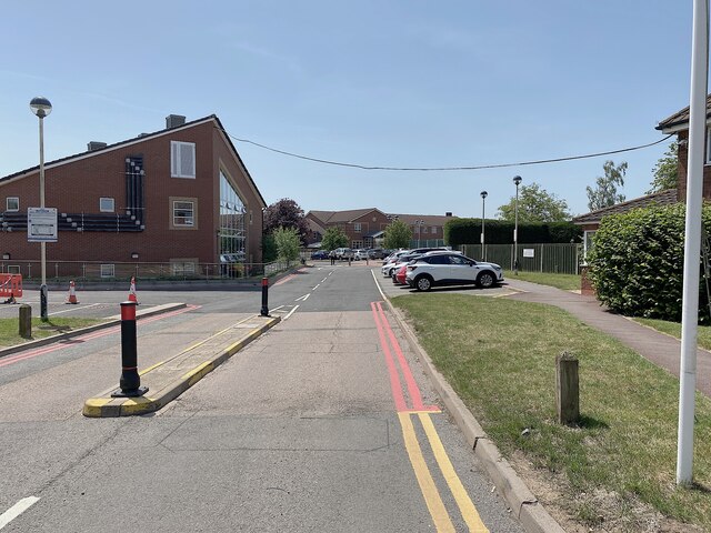
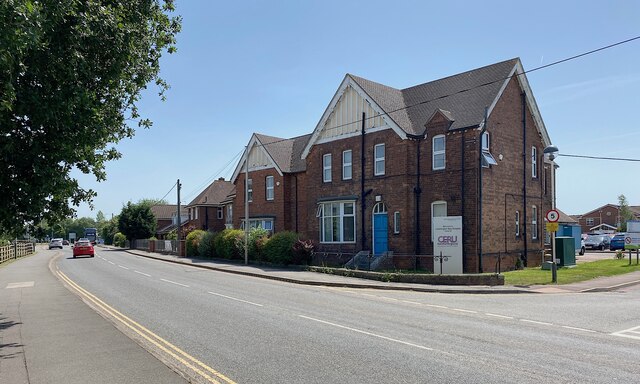
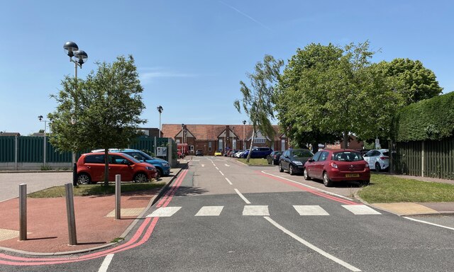
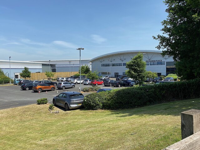
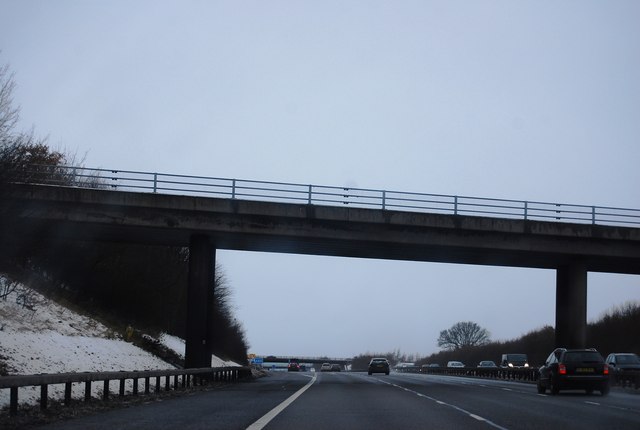
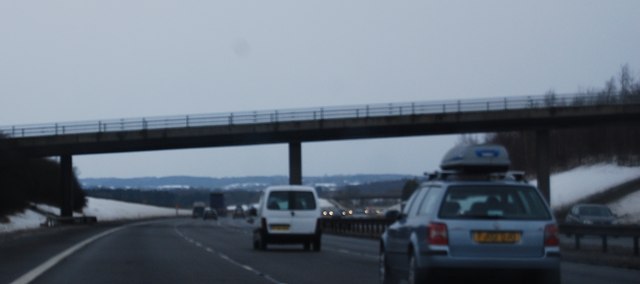
Chapel Hill Images
Images are sourced within 2km of 52.25284/-1.5356464 or Grid Reference SP3161. Thanks to Geograph Open Source API. All images are credited.
Chapel Hill is located at Grid Ref: SP3161 (Lat: 52.25284, Lng: -1.5356464)
Administrative County: Warwickshire
District: Warwick
Police Authority: Warwickshire
What 3 Words
///entry.author.tuck. Near Royal Leamington Spa, Warwickshire
Nearby Locations
Related Wikis

Oakley School, Bishop's Tachbrook
Oakley School is a coeducational all-through school located in Bishop's Tachbrook (near Leamington Spa and Warwick) The school formally opened in September...

Bishop's Tachbrook
Bishop's Tachbrook is a village and civil parish in the Warwick District of Warwickshire, England. The village is about 3 miles (5 km) south of Warwick...

Whitnash
Whitnash is a town and civil parish located southeast of, and contiguous with Leamington Spa and Warwick in Warwickshire, England. In 2001, it had a population...
Leamington Spa Hospital
Leamington Spa Hospital is located on Heathcote Lane in Warwick, Warwickshire, in England. Originally an isolation hospital, it is now a hospital run by...

Leamington F.C.
Leamington Football Club is a football club based in Leamington Spa, Warwickshire, England. They are currently members of the Southern League Premier Division...
Campion School, Leamington Spa
Campion School was formed in 1977 when it moved to the present site on Sydenham Drive in Leamington Spa, Warwickshire, England. In 2006, Campion was awarded...

St John the Baptist's Church, Leamington Spa
St John the Baptist's Church is an Anglo-Catholic parish church in Leamington Spa, England. The historic structure is Grade II* listed. == History == The...
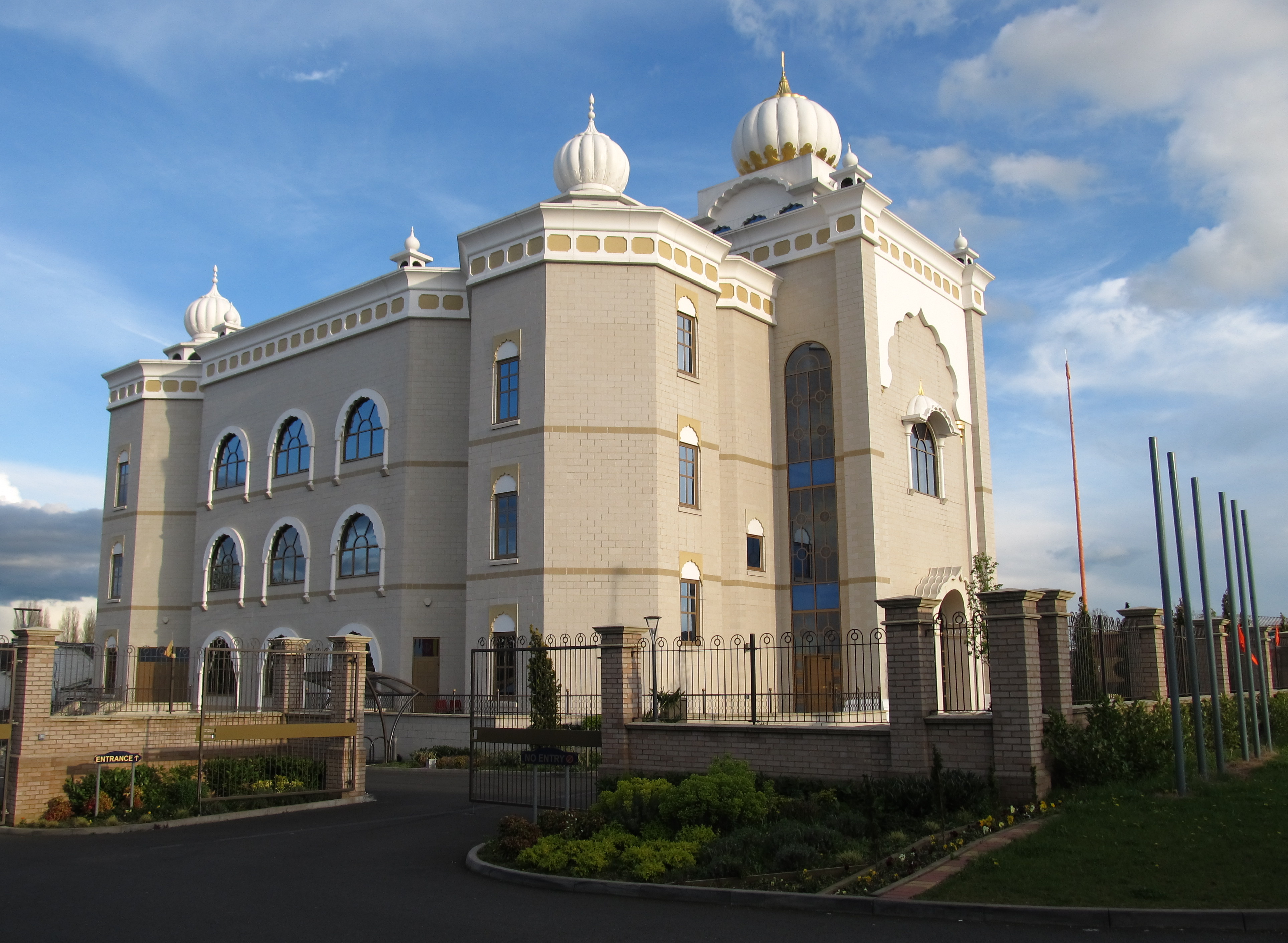
Gurdwara Sahib Leamington and Warwick
The Gurdwara Sahib Leamington and Warwick is a Sikh gurdwara located on Tachbrook Drive, Warwick, England. It primarily serves the community around Leamington...
Nearby Amenities
Located within 500m of 52.25284,-1.5356464Have you been to Chapel Hill?
Leave your review of Chapel Hill below (or comments, questions and feedback).