Tachbrook Mallory
Settlement in Warwickshire Warwick
England
Tachbrook Mallory
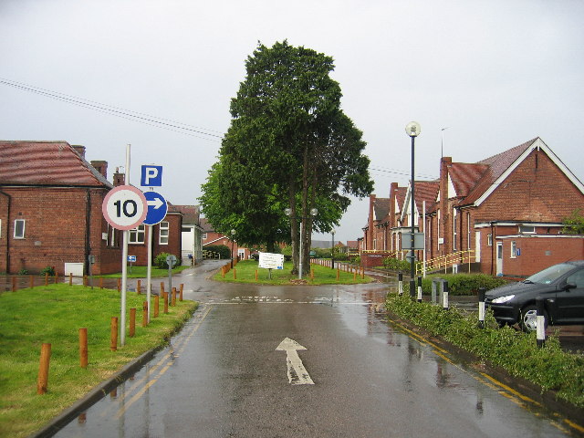
Tachbrook Mallory is a small village located in the county of Warwickshire, England. Situated approximately six miles southeast of the town of Leamington Spa, it is nestled amidst picturesque countryside and offers a peaceful and idyllic setting.
The village is known for its rich history, with evidence of human settlement dating back to Roman times. It takes its name from the Mallory family, who owned the estate from the 14th century until the late 18th century. The Mallory family played a significant role in the village's development, and their former residence, Tachbrook Mallory House, still stands today as a private residence.
Tachbrook Mallory is predominantly a residential area, with a small community of houses and cottages. The village exudes a traditional charm, with many of its buildings showcasing classic architectural styles. The local church, St. Chad's, is an impressive medieval structure that adds to the village's historic ambiance.
Although small in size, Tachbrook Mallory offers amenities such as a local pub, providing a gathering place for residents and visitors alike. The village is also surrounded by beautiful countryside, making it an attractive destination for nature lovers, walkers, and cyclists.
Its proximity to Leamington Spa provides residents with easy access to a wider range of services, including shops, restaurants, and recreational facilities. Additionally, the village benefits from excellent transport links, with nearby motorways and train stations allowing for convenient travel to other parts of Warwickshire and beyond.
Overall, Tachbrook Mallory is a charming village that offers a tranquil escape from the hustle and bustle of larger towns and cities, while still providing access to essential amenities and nearby attractions.
If you have any feedback on the listing, please let us know in the comments section below.
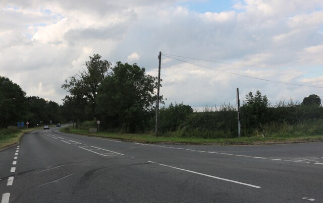
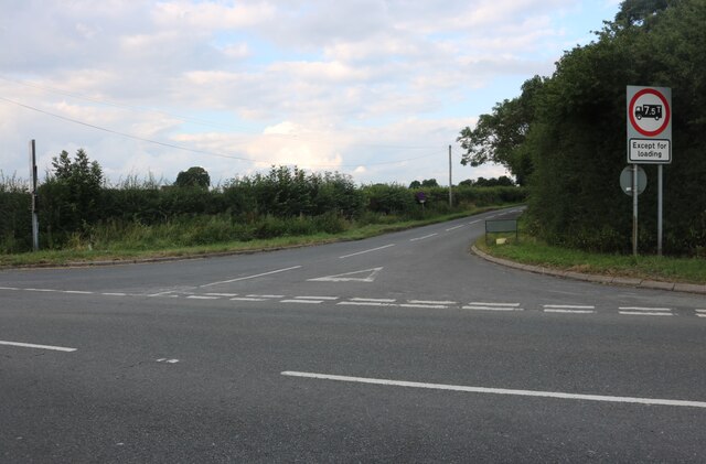
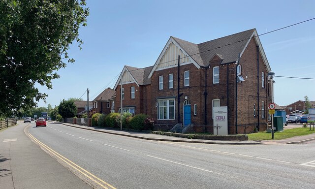
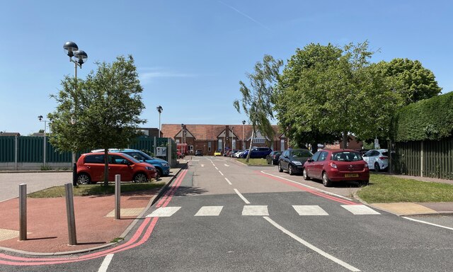
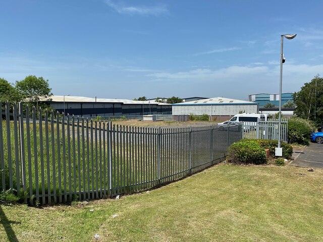
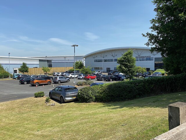
Tachbrook Mallory Images
Images are sourced within 2km of 52.254406/-1.533377 or Grid Reference SP3161. Thanks to Geograph Open Source API. All images are credited.


Tachbrook Mallory is located at Grid Ref: SP3161 (Lat: 52.254406, Lng: -1.533377)
Administrative County: Warwickshire
District: Warwick
Police Authority: Warwickshire
What 3 Words
///achieving.risk.lamps. Near Royal Leamington Spa, Warwickshire
Nearby Locations
Related Wikis

Oakley School, Bishop's Tachbrook
Oakley School is a coeducational all-through school located in Bishop's Tachbrook (near Leamington Spa and Warwick) The school formally opened in September...

Bishop's Tachbrook
Bishop's Tachbrook is a village and civil parish in the Warwick District of Warwickshire, England. The village is about 3 miles (5 km) south of Warwick...

Whitnash
Whitnash is a town and civil parish located southeast of, and contiguous with Leamington Spa and Warwick in Warwickshire, England. In 2001, it had a population...
Leamington Spa Hospital
Leamington Spa Hospital is located on Heathcote Lane in Warwick, Warwickshire, in England. Originally an isolation hospital, it is now a hospital run by...

Leamington F.C.
Leamington Football Club is a football club based in Leamington Spa, Warwickshire, England. They are currently members of the Southern League Premier Division...
Campion School, Leamington Spa
Campion School was formed in 1977 when it moved to the present site on Sydenham Drive in Leamington Spa, Warwickshire, England. In 2006, Campion was awarded...

St John the Baptist's Church, Leamington Spa
St John the Baptist's Church is an Anglo-Catholic parish church in Leamington Spa, England. The historic structure is Grade II* listed. == History == The...
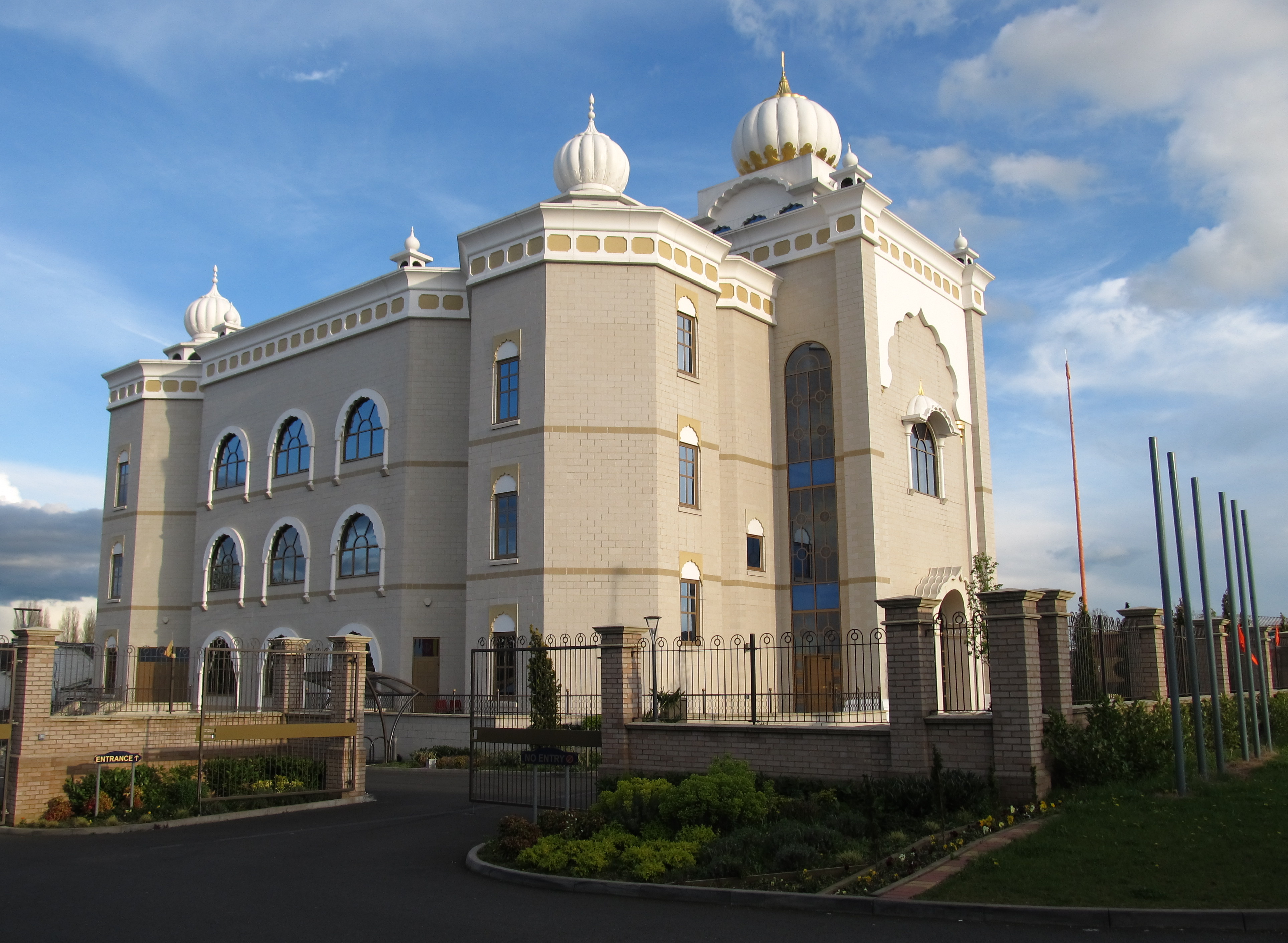
Gurdwara Sahib Leamington and Warwick
The Gurdwara Sahib Leamington and Warwick is a Sikh gurdwara located on Tachbrook Drive, Warwick, England. It primarily serves the community around Leamington...
Nearby Amenities
Located within 500m of 52.254406,-1.533377Have you been to Tachbrook Mallory?
Leave your review of Tachbrook Mallory below (or comments, questions and feedback).