Bishops Sutton
Civil Parish in Hampshire Winchester
England
Bishops Sutton

Bishops Sutton is a civil parish located in the county of Hampshire, England. Situated in the South Downs National Park, it is a rural area known for its picturesque landscapes and peaceful atmosphere. The parish covers an area of approximately 4.5 square miles and is home to a small population of around 500 residents.
The village itself is centered around the main road, with a cluster of charming cottages and houses. The parish church, St. Nicholas, is a prominent feature of the village, dating back to the 12th century and known for its beautiful stained glass windows. Bishops Sutton also has a primary school, which serves the local community.
The surrounding countryside offers plenty of opportunities for outdoor activities and exploration. There are several footpaths and bridleways that crisscross the area, providing access to the stunning vistas of the South Downs. The parish is particularly popular among walkers and nature enthusiasts, who can enjoy the diverse flora and fauna of the region.
Despite its rural setting, Bishops Sutton benefits from its proximity to larger towns and cities. Winchester, the county town of Hampshire, is only about 10 miles away, offering a wide range of amenities and cultural attractions. The parish is also well-connected by road, with easy access to the A31 and other major routes.
Overall, Bishops Sutton is a tranquil and idyllic place, perfect for those seeking a peaceful retreat in the heart of the Hampshire countryside.
If you have any feedback on the listing, please let us know in the comments section below.
Bishops Sutton Images
Images are sourced within 2km of 51.061081/-1.127734 or Grid Reference SU6129. Thanks to Geograph Open Source API. All images are credited.


Bishops Sutton is located at Grid Ref: SU6129 (Lat: 51.061081, Lng: -1.127734)
Administrative County: Hampshire
District: Winchester
Police Authority: Hampshire
What 3 Words
///trading.delay.headings. Near New Alresford, Hampshire
Nearby Locations
Related Wikis
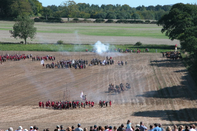
Battle of Cheriton
The Battle of Cheriton of 29 March 1644 was an important Parliamentarian victory during the First English Civil War. Sir William Waller's "Army of the...

Bramdean and Hinton Ampner
Bramdean and Hinton Ampner is a civil parish in the English county of Hampshire, forming part of the area administered as the City of Winchester. Its main...
Bramdean Common
Bramdean Common is near Winchester, Hampshire, England.Bramdean means "the valley where brooms grow" - broom being the gorse bush originally prevalent...
Itchen Way
The Itchen Way is a 31.80-mile (51.18 km) long-distance footpath following the River Itchen in Hampshire, England, from its source near Hinton Ampner House...
Bramdean
Bramdean is a village and former civil parish, now in the parish of Bramdean and Hinton Ampner, in the Winchester district, in the county of Hampshire...
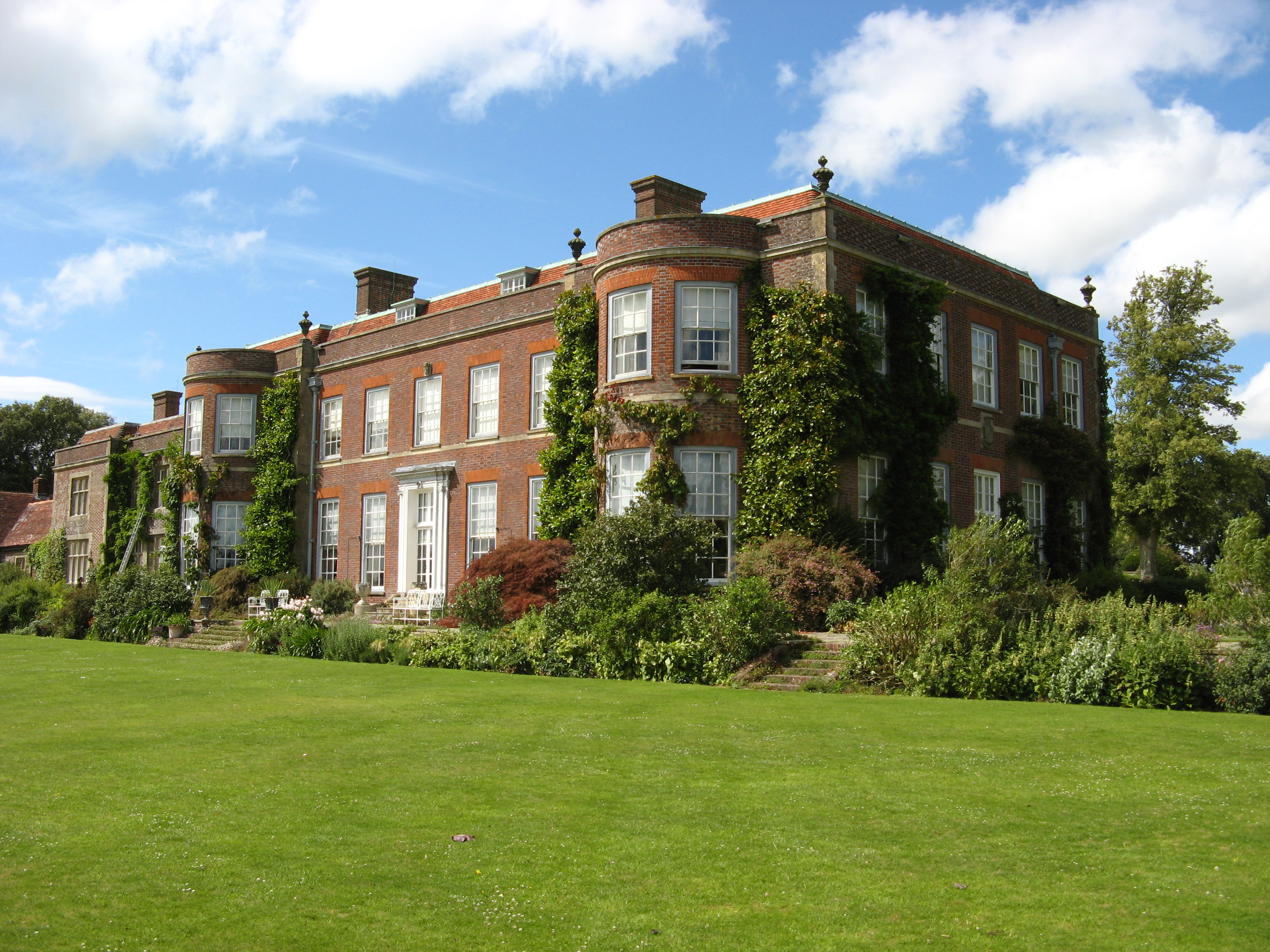
Hinton Ampner
Hinton Ampner is a village and country house estate with gardens and former civil parish, now in the parish of Bramdean and Hinton Ampner, in the Winchester...
Bishops Sutton
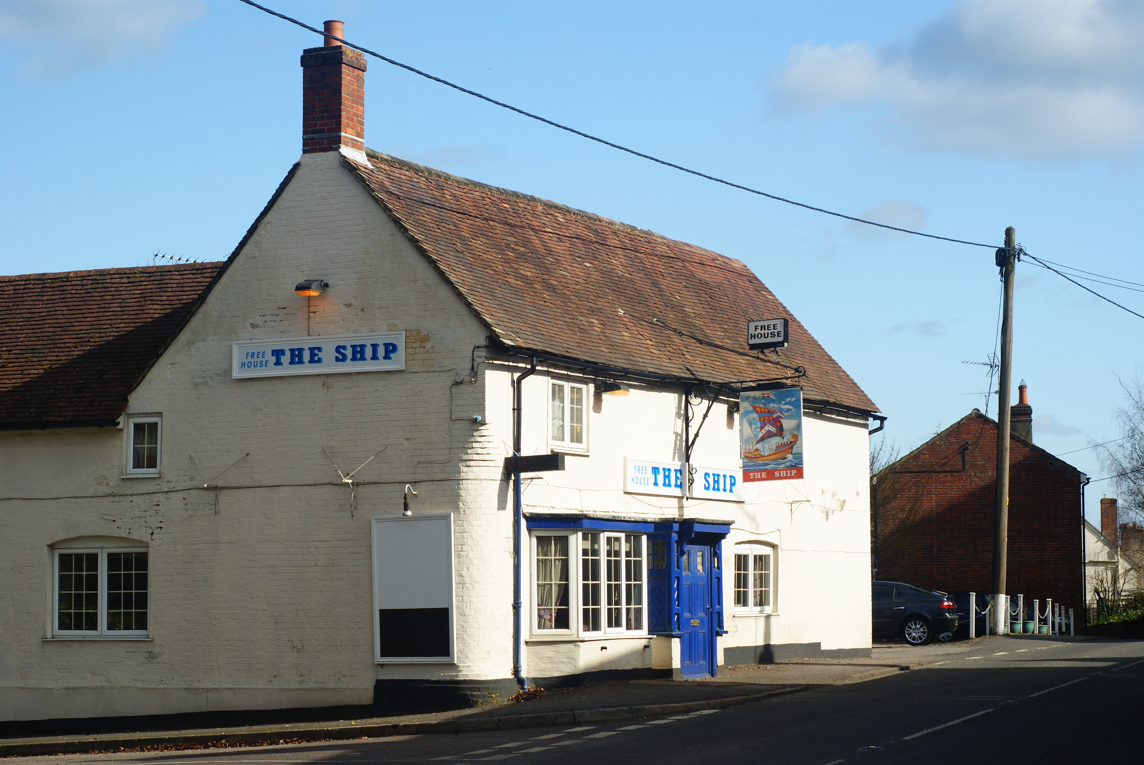
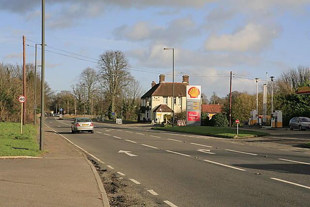
Bishops Sutton or Bishop's Sutton is a village and civil parish one mile (1.6 km) east of the market town of Alresford in the City of Winchester district...
Ropley Dean
Ropley Dean is a village in the East Hampshire district of Hampshire, England. It is 7.3 miles (11.7 km) southwest of Alton. The village has its own restored...
Nearby Amenities
Located within 500m of 51.061081,-1.127734Have you been to Bishops Sutton?
Leave your review of Bishops Sutton below (or comments, questions and feedback).