Birchover

Civil Parish in Derbyshire Derbyshire Dales

England

Birchover

Path down from Stanton Moor
Path down from Stanton Moor Credit: David Lally

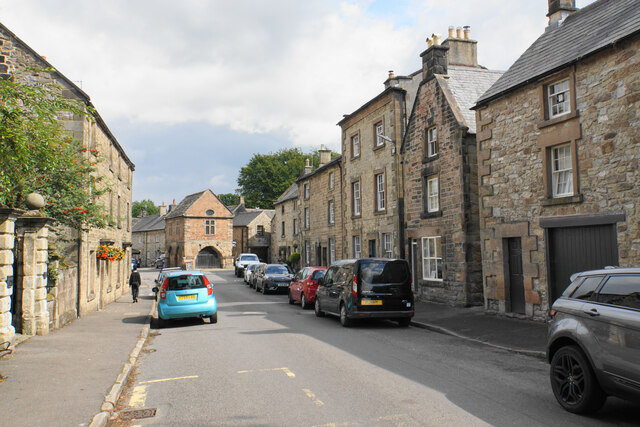
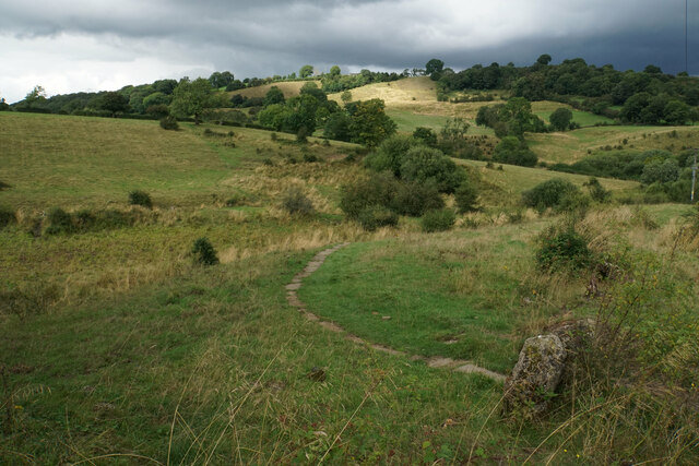
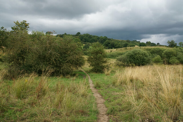
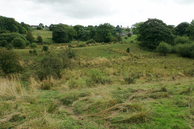
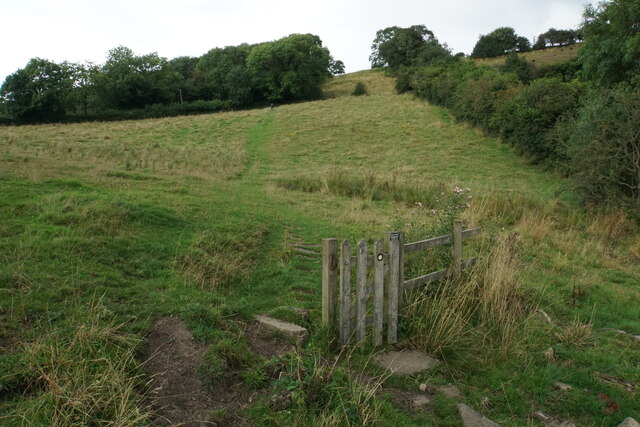
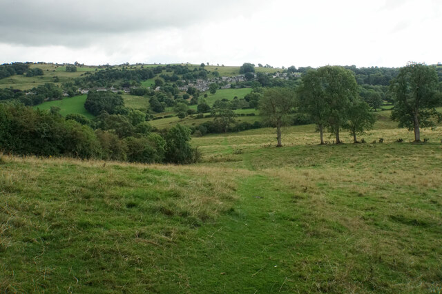
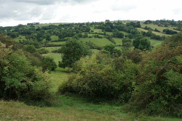
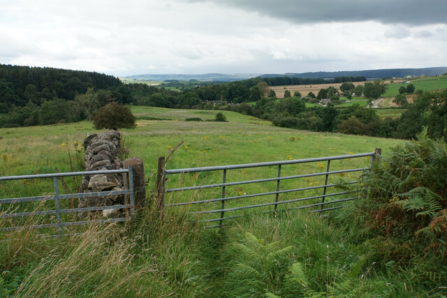
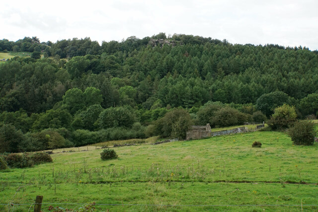
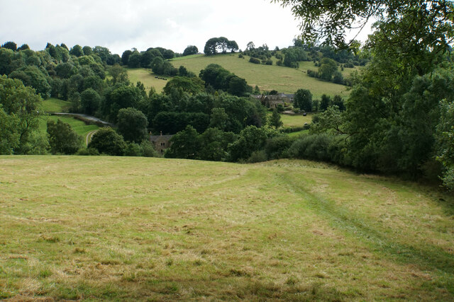
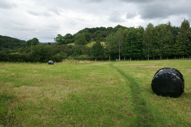
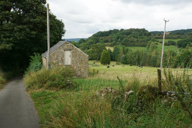
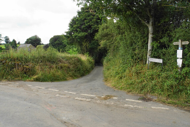
Birchover is a civil parish located in the county of Derbyshire, England. Situated in the Peak District National Park, it is a picturesque village that attracts visitors with its natural beauty and rich history. The village is nestled on a limestone plateau, providing stunning views of the surrounding countryside.

One of the main attractions in Birchover is the mythical stone formation known as the "Nine Ladies." This Bronze Age stone circle is shrouded in folklore and is believed to have been a gathering place for ancient rituals. It is a popular destination for hikers and nature enthusiasts who enjoy exploring the nearby walking trails.

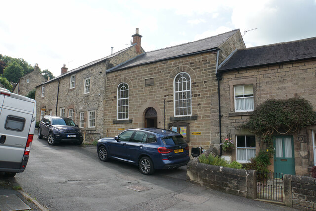
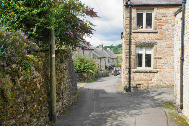
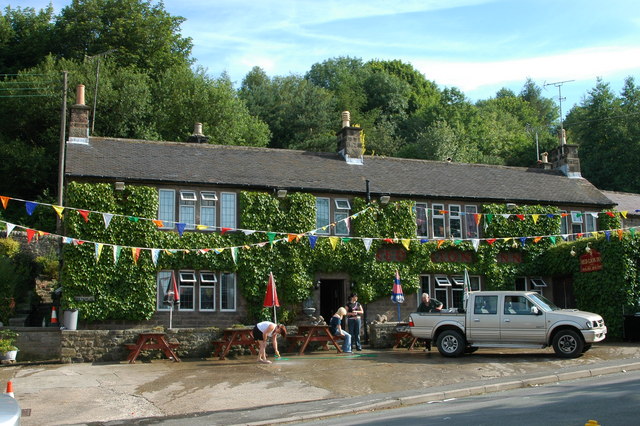
The village itself is small but charming, with a population of approximately 150 residents. It has a close-knit community and a strong sense of local pride. The village features traditional stone cottages, a village green, and a historic church, adding to its rural charm.

Birchover is also renowned for its connection to the mining industry. In the past, lead mining was a significant part of the local economy, and remnants of this industry can still be seen in the surrounding area. The village is home to a museum that showcases artifacts and information about the mining heritage of the region.

Overall, Birchover offers a peaceful and idyllic setting for those seeking a retreat in the countryside. With its stunning landscapes, historical landmarks, and friendly community, it is a hidden gem within the heart of Derbyshire.

If you have any feedback on the listing, please let us know in the comments section below.

Birchover Images

Images are sourced within 2km of 53.154654/-1.640079 or Grid Reference SK2462. Thanks to Geograph Open Source API. All images are credited.

Path down from Stanton Moor
Leaning oak Wind-blown on Stanton Moor.
Leaning oak
Wind-blown on Stanton Moor.
Main Street, Winster The old market hall is the most prominent feature. Almost every building in this view is listed.
Main Street, Winster
The old market hall is the most prominent feature. Almost every building in this view is listed.
Winster Methodist Church A Wesleyan Reform Chapel from 1852. As I took this, I could hear lusty hymn-singing from inside.
Winster Methodist Church
A Wesleyan Reform Chapel from 1852. As I took this, I could hear lusty hymn-singing from inside.
Woodhouse Lane A narrow residential street off Main Street.
Woodhouse Lane
A narrow residential street off Main Street.
Path to Birchover Crossing the declivity between Winster and Birchover.
Path to Birchover
Crossing the declivity between Winster and Birchover.
Path from Winster to Birchover Necessarily paved because the ground can be soggy. It is crossing rough grazing land which does not seem to be currently grazed.
Path from Winster to Birchover
Necessarily paved because the ground can be soggy. It is crossing rough grazing land which does not seem to be currently grazed.
Footpath to Winster It crosses an area of rough grazing with a propensity to be very soft when damp. It is fine in the summer months.
Footpath to Winster
It crosses an area of rough grazing with a propensity to be very soft when damp. It is fine in the summer months.
Path to Birchover It is necessary to climb up Birchover Edge.
Path to Birchover
It is necessary to climb up Birchover Edge.
Path to Winster The village of Winster is seen on the hill ahead.
Path to Winster
The village of Winster is seen on the hill ahead.
Fields near Birchover The village is seen in the background from this point on Birchover Edge.
Fields near Birchover
The village is seen in the background from this point on Birchover Edge.
Fields below Birchover Edge Looking roughly towards Winster which is slightly off to the left.
Fields below Birchover Edge
Looking roughly towards Winster which is slightly off to the left.
Fields below Birchover Looking down towards the valley of Ivy Bar Brook.
Fields below Birchover
Looking down towards the valley of Ivy Bar Brook.
Ruined barn near Birchover Hermit's Cave and Robin Hood's Stride are rocky outcrops on the opposite hill.
Ruined barn near Birchover
Hermit's Cave and Robin Hood's Stride are rocky outcrops on the opposite hill.
Path towards Elton Elton is over the top of the hill seen ahead.
Path towards Elton
Elton is over the top of the hill seen ahead.
Path to Birchover The path leaves Dudwood Lane by Meadowside Farm. The field has been harvested for silage.
Path to Birchover
The path leaves Dudwood Lane by Meadowside Farm. The field has been harvested for silage.
Barn by Dudwood Lane The valley of Ivy Bar Brook is down to the right, and Bradley Rocks are in the trees on the other side.
Barn by Dudwood Lane
The valley of Ivy Bar Brook is down to the right, and Bradley Rocks are in the trees on the other side.
The top of Dudwood Lane The lane is also the route of the Limestone Way.
The top of Dudwood Lane
The lane is also the route of the Limestone Way.
Show me another place!

Birchover is located at Grid Ref: SK2462 (Lat: 53.154654, Lng: -1.640079)

Administrative County: Derbyshire

District: Derbyshire Dales

Police Authority: Derbyshire

What 3 Words

///berated.skinning.forensic. Near Youlgreave, Derbyshire

Related Wikis

St Michael's Church, Birchover

St Michael's Church, Birchover, also known as Rowtor Chapel, is a Grade II listed parish church in the Church of England in Birchover, Derbyshire. Located...

Birchover

Birchover is a village and civil parish in the Peak District National Park in Derbyshire, England, five miles north-west of Matlock. At the 2001 Census...

Derbyshire Dales (UK Parliament constituency)

Derbyshire Dales ( DAR-bee-sheer, -⁠shər) is a constituency that has been represented in the House of Commons of the UK Parliament since 2019 by Sarah...

Doll Tor

Doll Tor is a stone circle located just to the west of Stanton Moor, near the village of Birchover, Derbyshire in the English East Midlands. Doll Tor is...
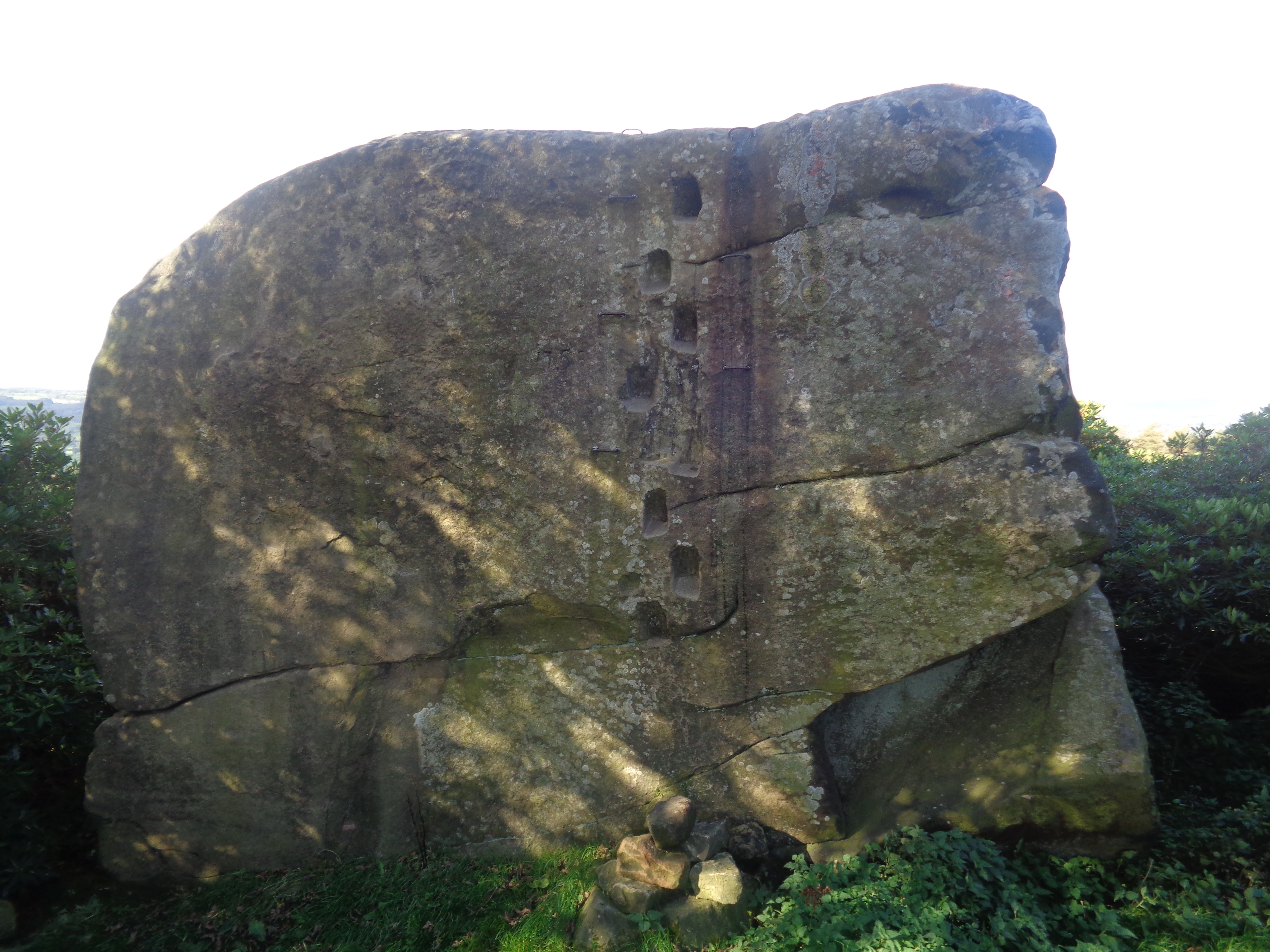
Andle Stone

The Andle Stone is a large gritstone boulder on Stanton Moor in Derbyshire. The stone block is 6m long, 4m high and lies within a low, circular, dry stone...

Stanton Moor

Stanton Moor is a small upland area in the Derbyshire Peak District of central northern England, lying between Matlock and Bakewell near the villages of...

Winster

Winster is a village in the English Derbyshire Dales about 5 miles (8 km) from Matlock and 6 miles (10 km) from Bakewell at an altitude of approximately...

Winster Market House

Winster Market House is a building dating from the end of the 17th or beginning of the 18th centuries, and is situated in Winster, near Matlock, Derbyshire...

Nearby Amenities

Located within 500m of 53.154654,-1.640079
Birchover
Is In Country: UK
Is In County: Derbyshire
Place: village
Wikidata: Q4915766
Lat/Long: 53.1559941/-1.6444649
Bus Stop
Bus: yes
Public Transport: platform
Lat/Long: 53.1561314/-1.6451105
Bench
Created By: Potlatch 0.10f
Lat/Long: 53.1560078/-1.6460547
Bus Stop
Bus: yes
Public Transport: platform
Lat/Long: 53.1560339/-1.6460897
Post Box
Brand: Royal Mail
Brand Wikidata: Q638098
Brand Wikipedia: en:Royal Mail
Operator: Royal Mail
Operator Wikidata: Q638098
Post Box Type: wall
Ref: DE4 978
Royal Cypher: GR
Royal Cypher Wikidata: Q33102273
Lat/Long: 53.1561365/-1.6453509
Barrier: stile
Foot: yes
Lat/Long: 53.1506012/-1.6402569
Barrier: stile
Foot: yes
Lat/Long: 53.1512055/-1.640281
Barrier: stile
Foot: yes
Lat/Long: 53.1512402/-1.6402867
Fixme: There's a sign here saying that all of this is proposed to become a BOAT. It isn't yet there.
Lat/Long: 53.1523906/-1.642466
Bench
Lat/Long: 53.1583172/-1.6362761
Barrier: stile
Material: stone
Source: survey;gps
Stile: squeezer
Lat/Long: 53.1568517/-1.6364503
Barrier: stile
Material: stone
Stile: squeezer
Lat/Long: 53.152343/-1.6370157
Barrier: stile
Foot: yes
Material: stone
Stile: stepover
Lat/Long: 53.1522143/-1.6370135
Ele: 279.0000000
Lat/Long: 53.1584039/-1.6384129
Ele: 272.0000000
Lat/Long: 53.15768/-1.6394037
Ele: 264.0000000
Lat/Long: 53.1571352/-1.6400932
Teo's Village Shop and Deli
Pies: no
Shop: convenience
Lat/Long: 53.1560941/-1.6465068
Toilets
Ele: 229.0000000
Lat/Long: 53.1561647/-1.6453015
Ele: 230.0000000
Information: board
Tourism: information
Lat/Long: 53.1561177/-1.6454755
Barrier: stile
Material: stone
Source: survey;bing;gps
Stile: squeezer
Lat/Long: 53.1533894/-1.6368721
Barrier: stile
Source: survey;bing;gps
Stile: squeezer
Lat/Long: 53.1557672/-1.6416524
Defibrillator
Access: yes
Booth: K6
Check Date: 2023-03-09
Covered: booth
Defibrillator Location: In old telephone box.
Disused Amenity: telephone
Emergency: defibrillator
Indoor: no
Opening Hours: 24/7
Ref GB The Circuit: 062027BD-8810-421E-AF2B-B0BD009F284F
Lat/Long: 53.1559442/-1.6460984
Barrier: stile
Material: stone
Source: survey;gps
Stile: squeezer
Lat/Long: 53.1567849/-1.6365343
Barn Farm Campsite & Bunk Barns
Tourism: hostel
Lat/Long: 53.1572574/-1.6370792
Barn Farm Campsite & Bunk Barns
Addr City: Matlock
Addr Postcode: DE4 2BL
Addr Village: Birchover
Phone: +44 1629 650245
Source: survey
Tourism: camp_site
Lat/Long: 53.1572992/-1.6369558
Taxi
DJG Taxis Office
Lat/Long: 53.1552373/-1.643774
Barrier: stile
Material: stone
Source: survey;gps
Stile: squeezer
Lat/Long: 53.1520142/-1.6428759
Barrier: stile
Foot: yes
Material: wood
Stile: stepover
Lat/Long: 53.1521279/-1.6429282
Barrier: stile
Material: stone
Source: survey;gps
Stile: squeezer
Lat/Long: 53.1522518/-1.6438143
Barrier: stile
Material: stone
Source: survey;gps
Stile: squeezer
Lat/Long: 53.1522571/-1.6456189
Source: survey;gps
Lat/Long: 53.15235/-1.6369485
Barrier: stile
Stile: squeezer
Lat/Long: 53.1538641/-1.6366901
Toilets
Source: survey
Lat/Long: 53.1574555/-1.6365365
Bench
Lat/Long: 53.1573429/-1.6360885
Generator Method: photovoltaic
Generator Output Electricity: yes
Generator Source: solar
Generator Type: solar_photovoltaic_panel
Location: roof
Power: generator
Lat/Long: 53.1551336/-1.6438284
Surface: gravel
Tourism: camp_pitch
Lat/Long: 53.1570318/-1.6384555
Surface: gravel
Tourism: camp_pitch
Lat/Long: 53.1569928/-1.6385622
Surface: gravel
Tourism: camp_pitch
Lat/Long: 53.1569522/-1.6386721
Surface: gravel
Tourism: camp_pitch
Lat/Long: 53.156912/-1.6387828
Surface: gravel
Tourism: camp_pitch
Lat/Long: 53.156867/-1.6389048
Surface: gravel
Tourism: camp_pitch
Lat/Long: 53.1568227/-1.6390201
Surface: gravel
Tourism: camp_pitch
Lat/Long: 53.1567837/-1.6391254
Surface: gravel
Tourism: camp_pitch
Lat/Long: 53.1567395/-1.6392428
Surface: gravel
Tourism: camp_pitch
Lat/Long: 53.1566852/-1.6393903
Shippon Cottage
Addr City: Birchover
Addr Housenumber: 17
Addr Street: Main Street
Tourism: chalet
Website: https://shipponcottage.com/
Lat/Long: 53.1562633/-1.6443356
Information: guidepost
Tourism: information
Lat/Long: 53.1502793/-1.6398944
Watering Place
Lat/Long: 53.1510944/-1.6402813
The data included in this document is from www.openstreetmap.org. The data is made available under ODbL.

Have you been to Birchover?

Leave your review of Birchover below (or comments, questions and feedback).