Birchwood
Civil Parish in Lancashire
England
Birchwood
Birchwood is a civil parish located in Lancashire, England. Situated in the borough of Warrington, it is a residential area surrounded by green spaces and parks. The parish covers an area of approximately 2 square miles and has a population of around 8,000 people.
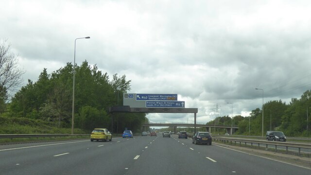
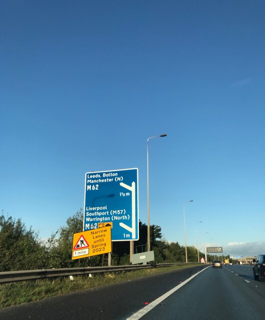
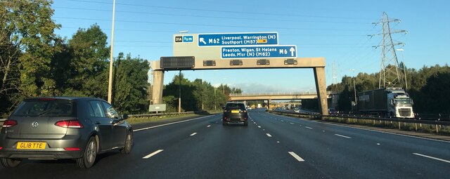
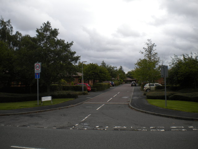
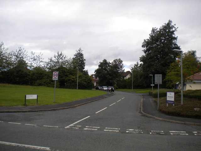
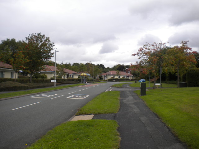
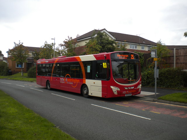
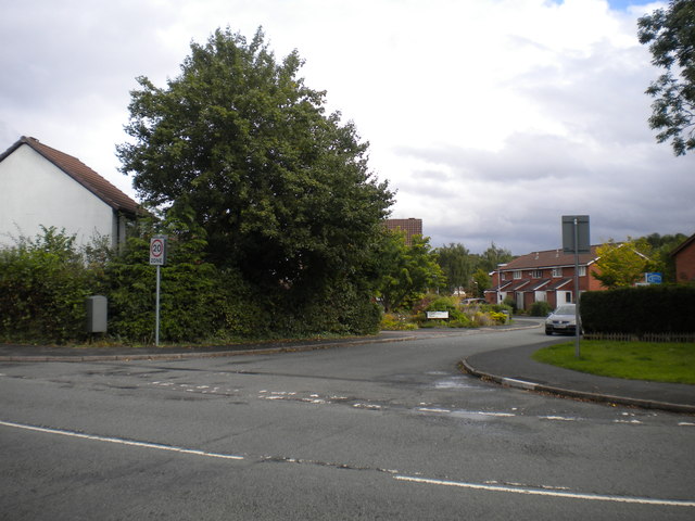
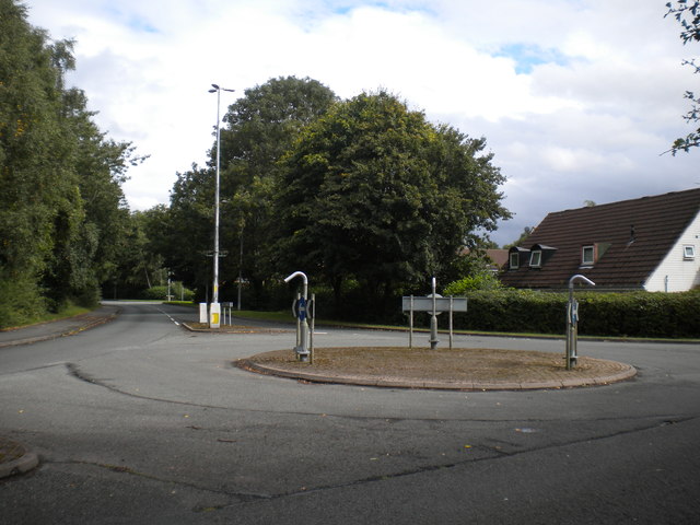
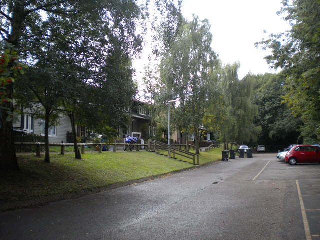
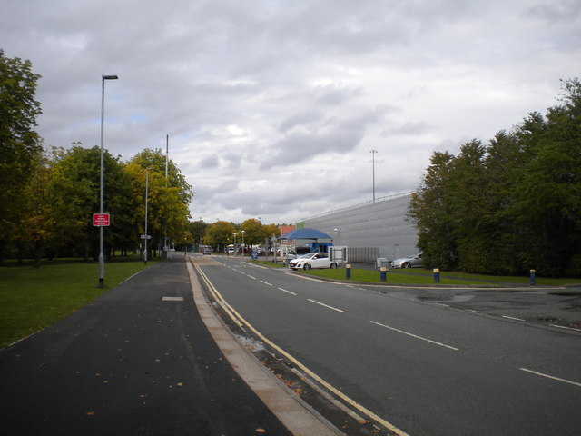
The housing in Birchwood is predominantly made up of modern residential estates, with a mix of detached and semi-detached properties. The area is well-connected, with easy access to the M6 and M62 motorways, making it a popular choice for commuters working in nearby cities such as Manchester and Liverpool.
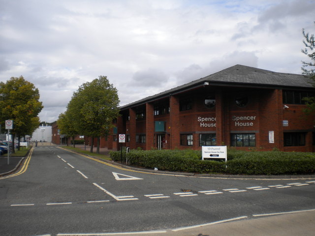
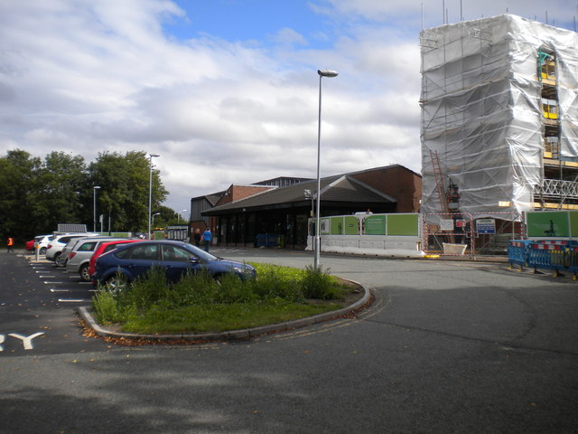
Birchwood is known for its well-established infrastructure, with a range of amenities and facilities available to residents. The Birchwood Shopping Centre is the main retail hub in the area, offering a variety of shops, restaurants, and services. There are also several supermarkets, schools, and healthcare facilities within close proximity.
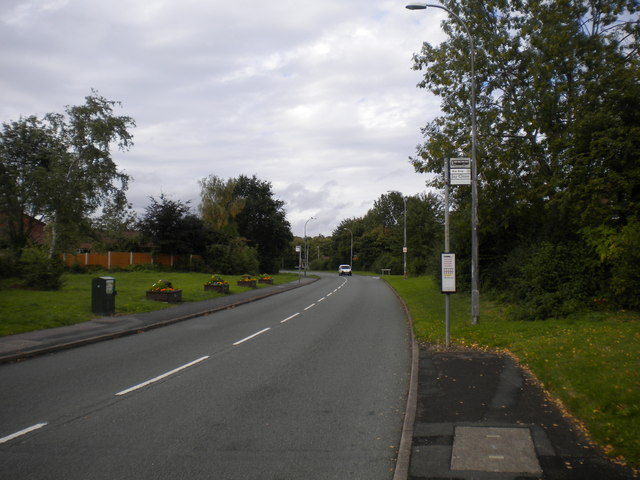
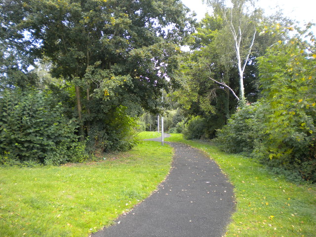
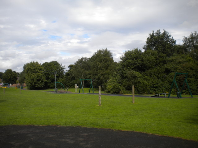
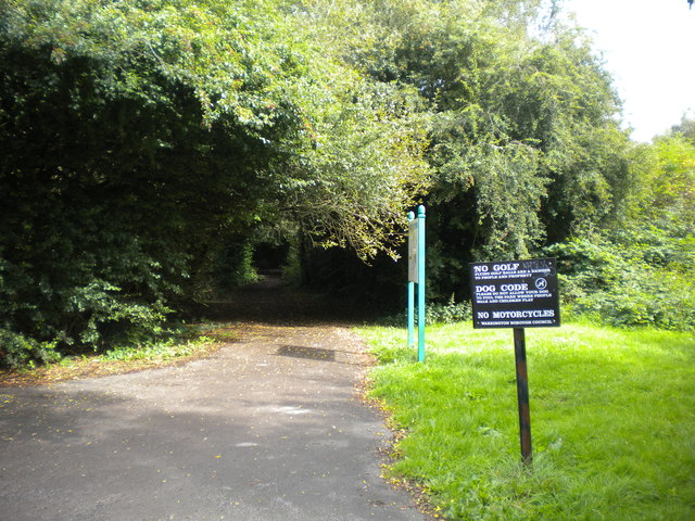
For those who enjoy outdoor activities, Birchwood offers plenty of green spaces to explore. Risley Moss Nature Reserve is a popular attraction, known for its diverse wildlife and walking trails. Birchwood Forest Park is another notable green space, providing opportunities for leisure activities such as cycling, jogging, and picnicking.
Overall, Birchwood is a thriving residential area with a strong community spirit. Its convenient location, modern housing, and range of amenities make it an attractive place to live for individuals and families alike.
If you have any feedback on the listing, please let us know in the comments section below.
Birchwood Images
Images are sourced within 2km of 53.424868/-2.517348 or Grid Reference SJ6592. Thanks to Geograph Open Source API. All images are credited.
Birchwood is located at Grid Ref: SJ6592 (Lat: 53.424868, Lng: -2.517348)
Unitary Authority: Warrington
Police Authority: Cheshire
What 3 Words
///pianists.implanted.aliens. Near Croft, Cheshire
Nearby Locations
Related Wikis
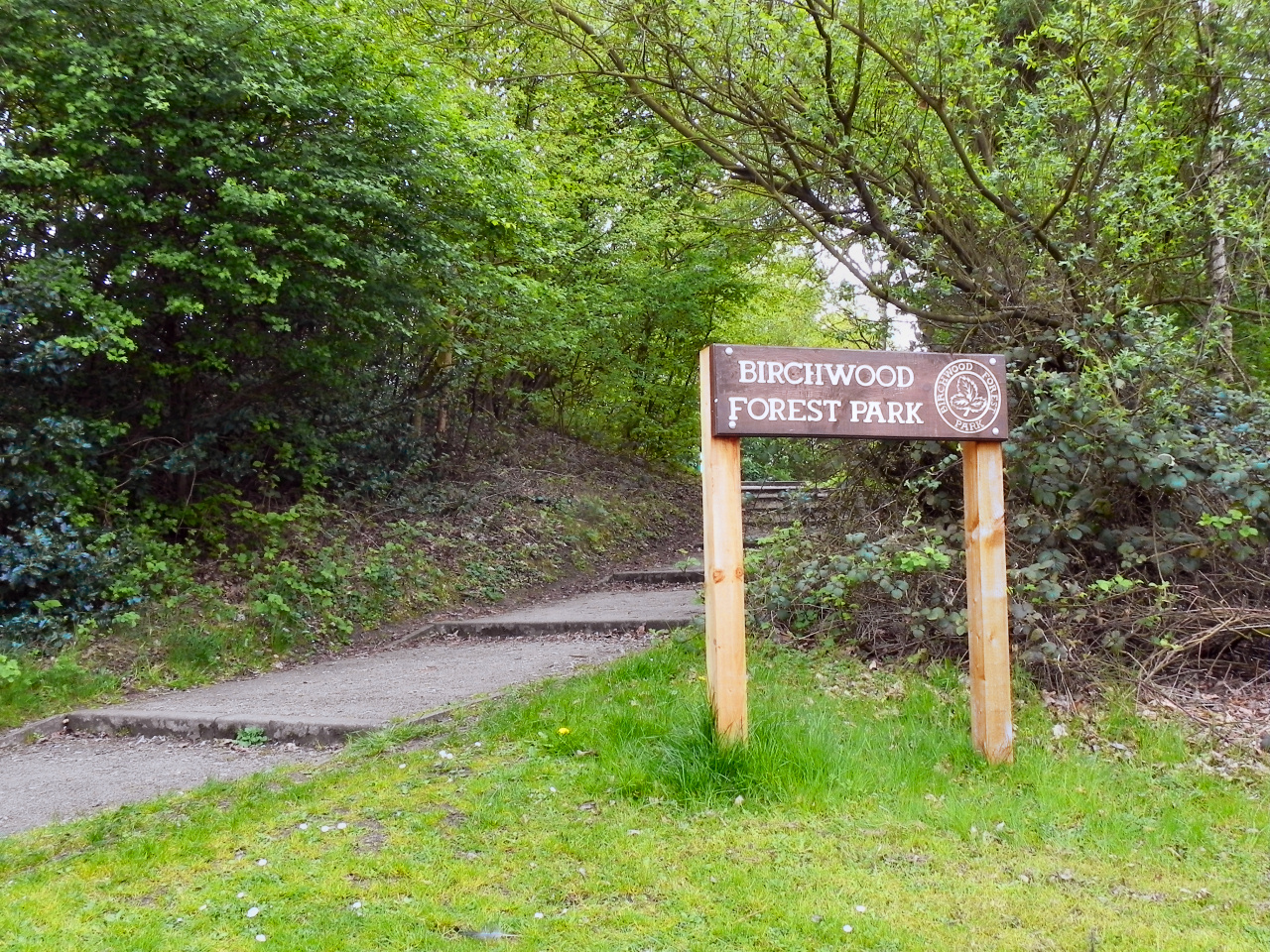
Birchwood Forest Park
Birchwood Forest Park covers the area formerly occupied by the Royal Ordnance Factory, ROF Risley, in Birchwood, Warrington, in north-west England. The...

Risley, Warrington
Risley is a district in the northeast corner of Warrington, in the Warrington district, in the ceremonial county of Cheshire, England. Within the boundaries...
Universities Research Reactor
Universities Research Reactor, also known as Universities' Research Reactor or University Research Reactor, was a small Argonaut class nuclear research...
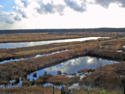
Risley Moss
Risley Moss is an area of peat bog situated near Birchwood in Warrington, England. It is a country park, Site of Special Scientific Interest and a Local...
Birchwood Community High School
Birchwood Community High School is a coeducational secondary school and sixth form with academy status, located in the Birchwood area of Warrington in...

Birchwood
Birchwood is a town and civil parish in the Borough of Warrington, Cheshire, England. It had a population of 11,395 at the 2001 census. Located originally...

Birchwood railway station
Birchwood railway station is a railway station serving the town of Birchwood, Cheshire, England. The station is 24+1⁄4 miles (39.0 km) east of Liverpool...

HM Prison Risley
HM Prison Risley is a category C men's prison, located in the Risley area of Warrington, Cheshire, England, operated by His Majesty's Prison Service....
Related Videos


Cornwall Memories 2020
Some scenes from our holiday in Cornwall 2020.

Holiday House
This is a poem that Jake wrote whilst being on holiday in a large house called Brooklands lodge near Prestatyn, Wales.
Nearby Amenities
Located within 500m of 53.424868,-2.517348Have you been to Birchwood?
Leave your review of Birchwood below (or comments, questions and feedback).