Birchwood Park
Settlement in Lancashire
England
Birchwood Park
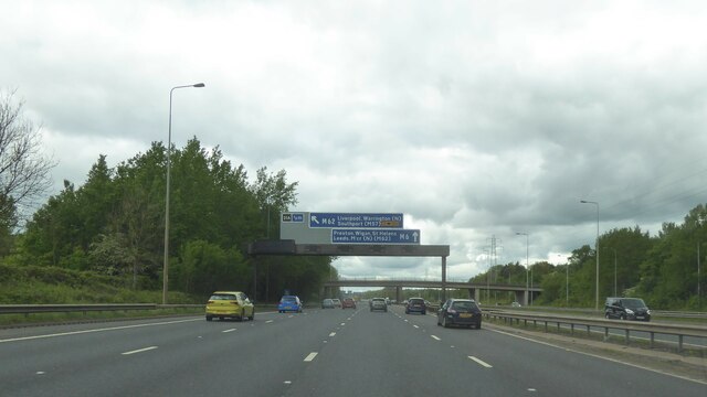
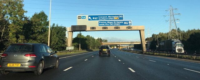
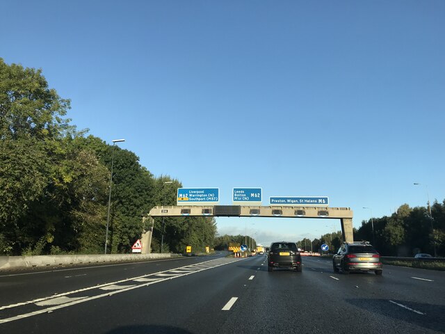
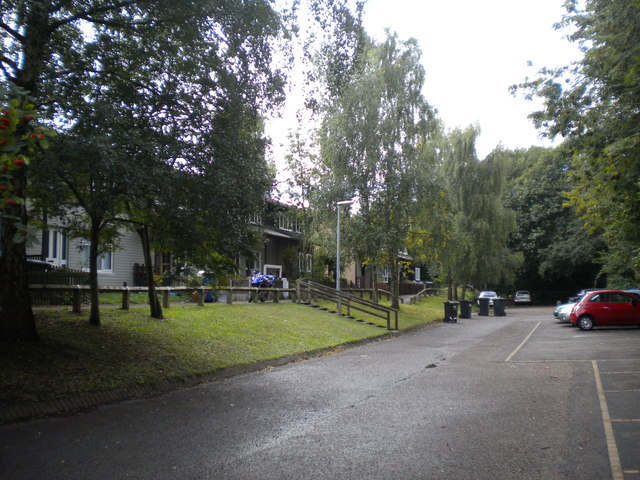
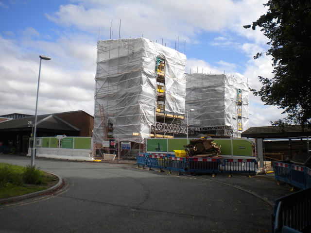
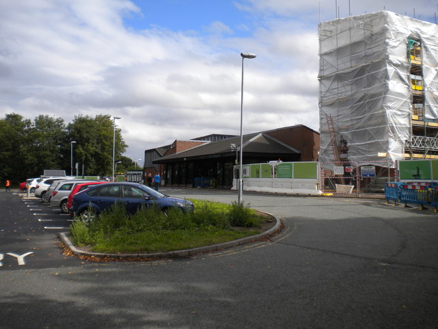
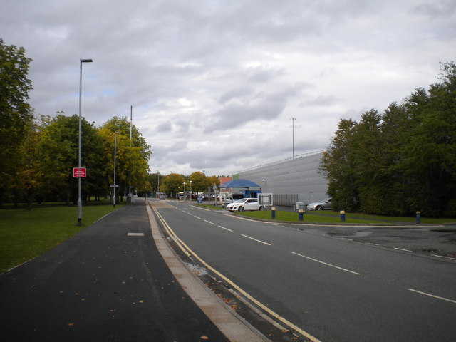
Birchwood Park is a large business park located in the county of Lancashire, England. Situated in the town of Warrington, it spans over 100 acres of landscaped grounds and offers a range of modern office spaces and industrial units. The park is conveniently located near the M62 and M6 motorways, providing easy access to major cities such as Manchester and Liverpool.
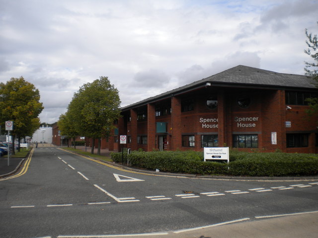
The business park is home to a diverse range of companies from various sectors, including technology, finance, manufacturing, and logistics. With over 60 businesses operating on site, Birchwood Park is a vibrant hub for commerce and innovation. Companies such as Fujitsu, Amec Foster Wheeler, and TalkTalk have chosen this location for their offices, benefiting from its strategic location and excellent amenities.
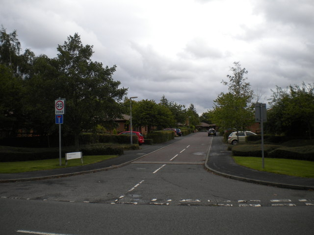
In addition to its commercial offerings, Birchwood Park boasts a range of on-site amenities for its occupants. These include a gym, a restaurant, and various retail outlets, providing a convenient and enjoyable working environment. The park also features ample parking spaces and well-maintained green spaces, creating a pleasant and welcoming atmosphere for employees and visitors alike.
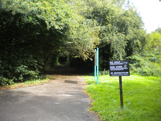
Birchwood Park is committed to sustainability and has implemented various initiatives to reduce its environmental impact. These include the use of renewable energy sources, waste management programs, and the preservation of local wildlife habitats.
Overall, Birchwood Park is a thriving business park in Lancashire, offering a wide range of modern office spaces, excellent transport links, and a host of amenities. Its strategic location and commitment to sustainability make it an attractive choice for companies looking to establish a presence in the region.
If you have any feedback on the listing, please let us know in the comments section below.
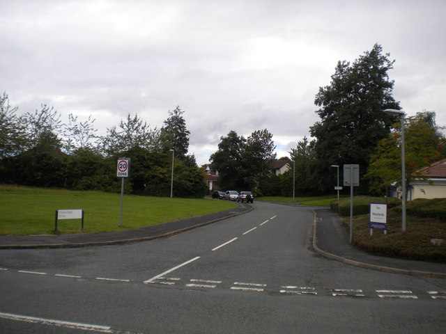
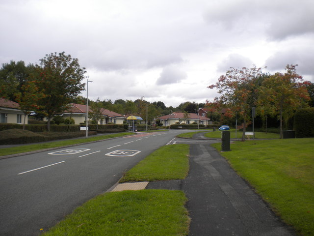
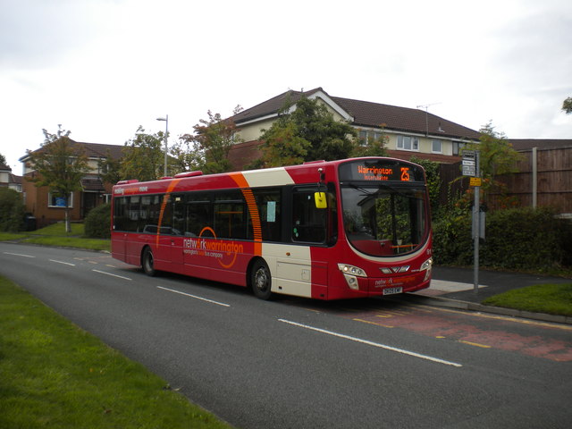
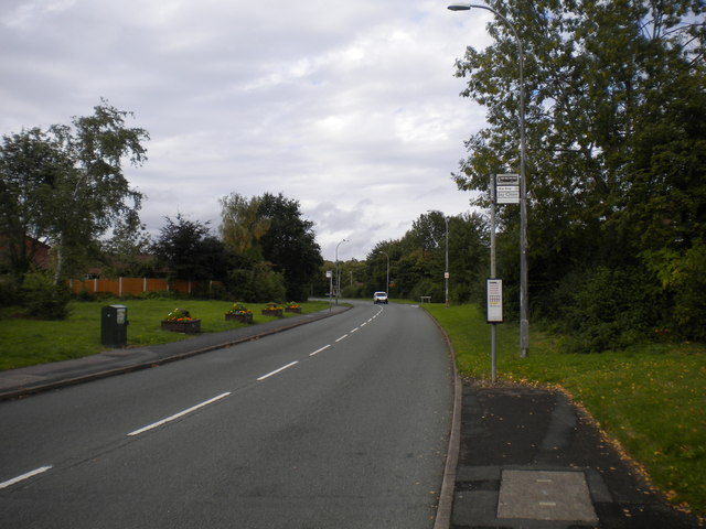
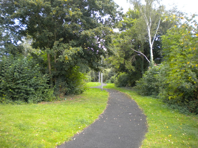
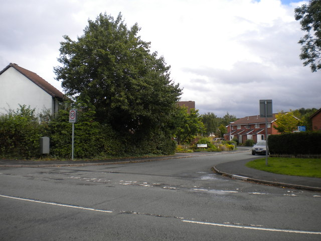
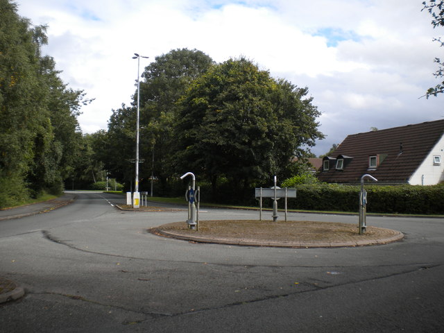
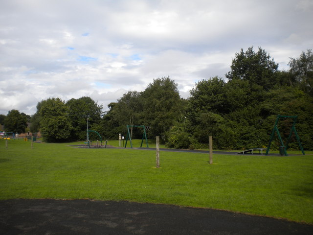
Birchwood Park Images
Images are sourced within 2km of 53.428609/-2.5251276 or Grid Reference SJ6592. Thanks to Geograph Open Source API. All images are credited.
Birchwood Park is located at Grid Ref: SJ6592 (Lat: 53.428609, Lng: -2.5251276)
Unitary Authority: Warrington
Police Authority: Cheshire
What 3 Words
///starlight.mostly.extent. Near Croft, Cheshire
Nearby Locations
Related Wikis

Risley, Warrington
Risley is a district in the northeast corner of Warrington, in the Warrington district, in the ceremonial county of Cheshire, England. Within the boundaries...
Universities Research Reactor
Universities Research Reactor, also known as Universities' Research Reactor or University Research Reactor, was a small Argonaut class nuclear research...
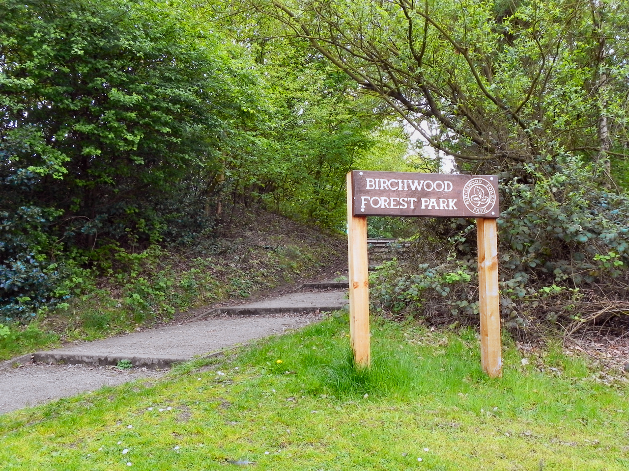
Birchwood Forest Park
Birchwood Forest Park covers the area formerly occupied by the Royal Ordnance Factory, ROF Risley, in Birchwood, Warrington, in north-west England. The...

HM Prison Risley
HM Prison Risley is a category C men's prison, located in the Risley area of Warrington, Cheshire, England, operated by His Majesty's Prison Service....
Birchwood Community High School
Birchwood Community High School is a coeducational secondary school and sixth form with academy status, located in the Birchwood area of Warrington in...

Birchwood
Birchwood is a town and civil parish in the Borough of Warrington, Cheshire, England. It had a population of 11,395 at the 2001 census. Located originally...
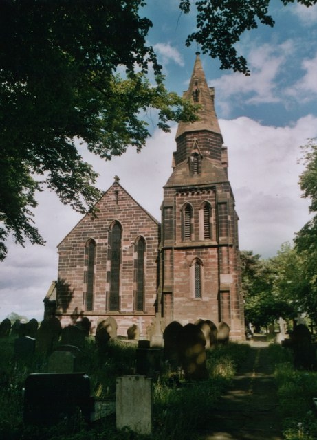
Christ Church, Croft
Christ Church is in Lady Lane, Croft, Cheshire, England. It is an active Anglican parish church in the deanery of Winwick, the archdeaconry of Warrington...
Homes England
Homes England is the non-departmental public body that funds new affordable housing in England. It was founded on 1 January 2018 to replace the Homes and...
Nearby Amenities
Located within 500m of 53.428609,-2.5251276Have you been to Birchwood Park?
Leave your review of Birchwood Park below (or comments, questions and feedback).