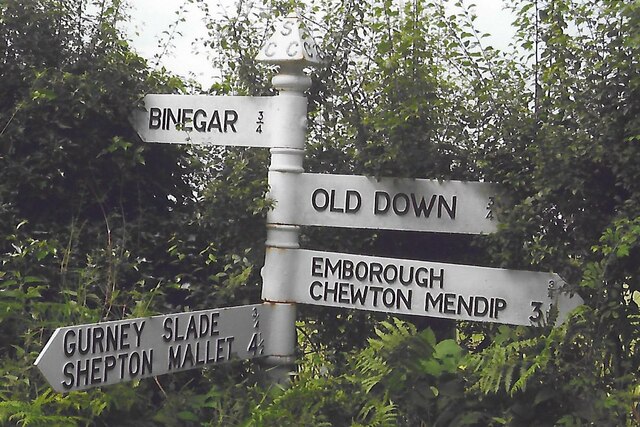
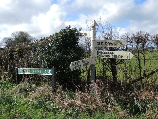
Binegar
Civil Parish in Somerset Mendip
England
Binegar
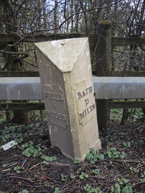
Binegar is a small civil parish located in the county of Somerset, England. Situated in the Mendip Hills, it is part of the Mendip district and lies approximately 15 miles southwest of Bath and 20 miles south of Bristol. The parish covers an area of around 1.5 square miles and has a population of just over 200 residents.
The picturesque village of Binegar is surrounded by beautiful countryside, offering stunning views of the Mendip Hills. The area is known for its limestone quarries, which have been an important industry in the region for centuries. The local economy is mainly based on agriculture, with some residents also engaged in small-scale businesses.
Binegar is a close-knit community with a village hall that serves as a hub for various social events and gatherings. The parish also has a well-maintained church, St. John the Baptist, which dates back to the 12th century and is a significant historical landmark in the area.
Although relatively small, Binegar benefits from its proximity to larger towns and cities, providing easy access to a range of amenities and services. The nearby towns of Shepton Mallet and Wells offer a wider selection of shops, schools, and healthcare facilities.
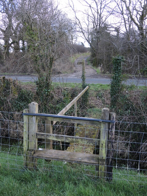
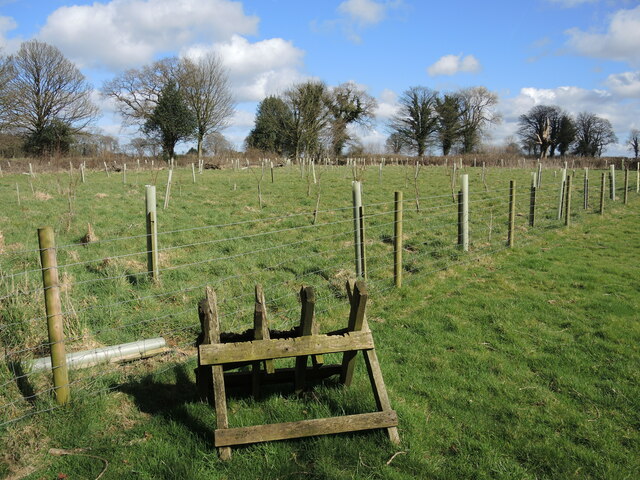
The tranquil and scenic surroundings of Binegar make it an attractive destination for nature lovers and outdoor enthusiasts. The Mendip Hills Area of Outstanding Natural Beauty offers numerous walking and cycling routes, providing opportunities to explore the stunning countryside and enjoy the diverse wildlife that inhabits the region.
If you have any feedback on the listing, please let us know in the comments section below.
Binegar Images
Images are sourced within 2km of 51.246279/-2.541948 or Grid Reference ST6249. Thanks to Geograph Open Source API. All images are credited.


Binegar is located at Grid Ref: ST6249 (Lat: 51.246279, Lng: -2.541948)
Administrative County: Somerset
District: Mendip
Police Authority: Avon and Somerset
What 3 Words
///blunt.tarnished.throwaway. Near Chilcompton, Somerset
Nearby Locations
Related Wikis

Gurney Slade quarry
Gurney Slade quarry, grid reference ST626497 is a limestone quarry near Gurney Slade between Binegar and Holcombe, on the Mendip Hills, Somerset, England...

Emborough Quarries
Emborough Quarries (grid reference ST623505) is a 1 hectare (2.5 acre) geological Site of Special Scientific Interest at Emborough in the Mendip Hills...

Binegar
Binegar is a small village and civil parish in Somerset, England. It is located on the A37, 4 miles (6.4 km) east of Wells, between Shepton Mallet and...
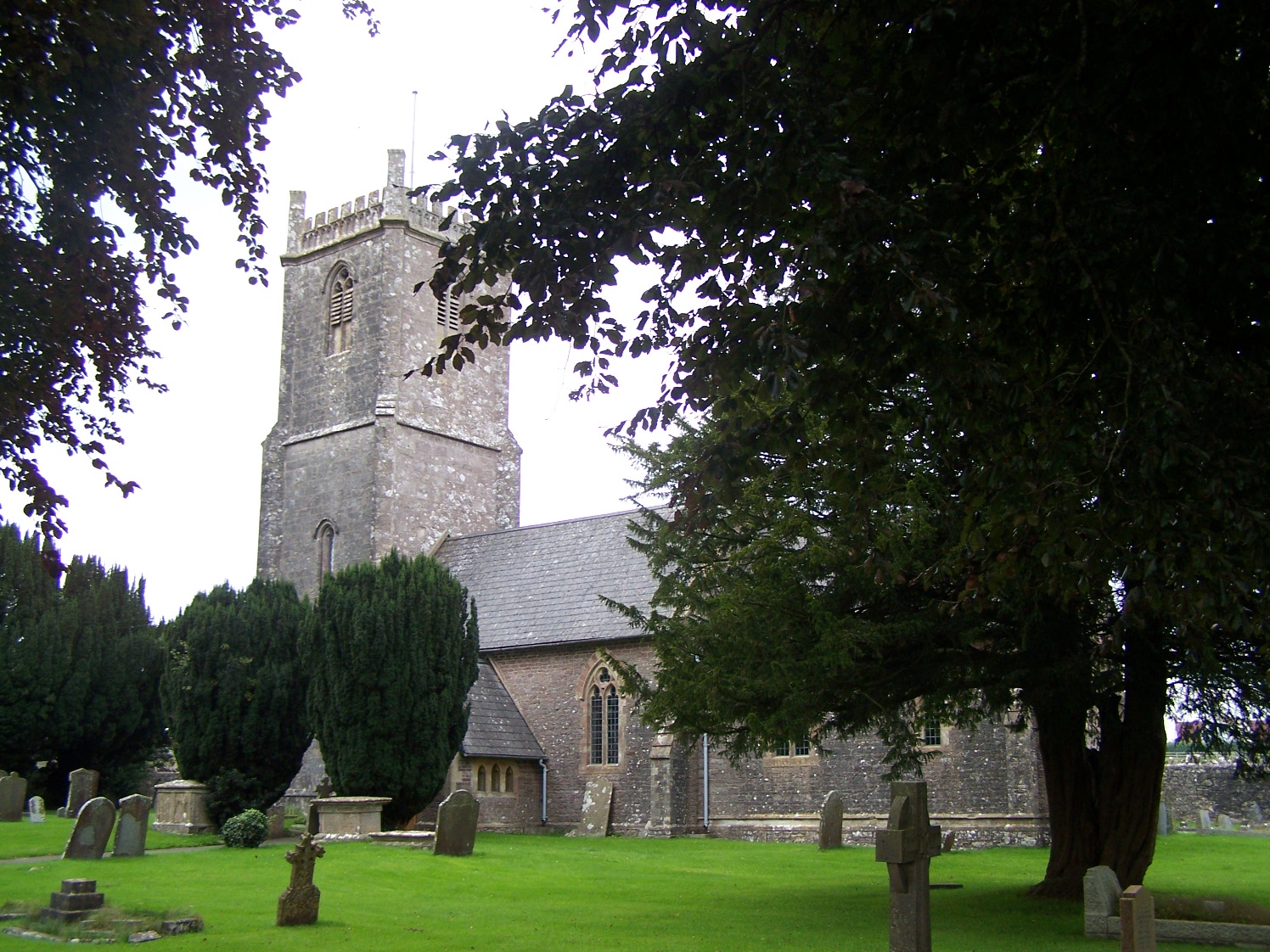
Church of the Holy Trinity, Binegar
The Anglican Church of the Holy Trinity, Binegar, Somerset, England is Norman but has been rebuilt and restored several times since. It is a Grade II*...

Binegar railway station
Binegar railway station was a station on the Somerset and Dorset Joint Railway in the county of Somerset in England. Opened on 20 July 1874, the station...
Blacker's Hill
Blacker's Hill is an Iron Age hill fort at Chilcompton, 4.5 kilometres (3 mi) south west of Radstock, Somerset, England. It has been designated as a Scheduled...

Church of the Blessed Virgin Mary, Emborough
The Church of the Blessed Virgin Mary in Emborough, Somerset, England is medieval in origin but underwent extensive renovation in the 18th century. It...
Emborough
Emborough is a village and civil parish 5 miles (8.0 km) north of Shepton Mallet, and 5 miles (8.0 km) north east of Wells, in the Mendip district of Somerset...
Nearby Amenities
Located within 500m of 51.246279,-2.541948Have you been to Binegar?
Leave your review of Binegar below (or comments, questions and feedback).