Binfield
Civil Parish in Berkshire
England
Binfield

Binfield is a civil parish located in the county of Berkshire, England. Situated approximately 4 miles east of Wokingham and 7 miles southeast of Reading, it covers an area of around 10 square miles. The parish is bordered by the towns of Bracknell and Wokingham, as well as the villages of Warfield and Shurlock Row.
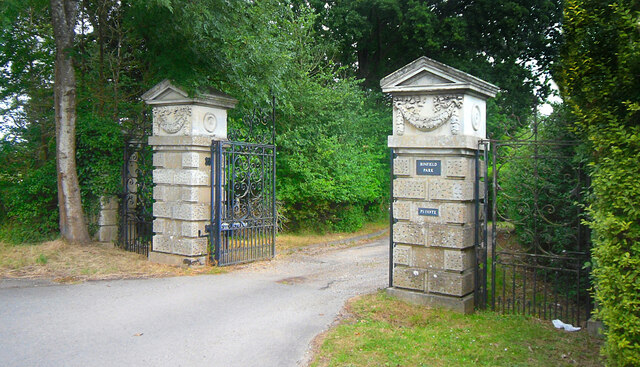
Binfield has a rich history dating back to the Anglo-Saxon period, and evidence of its past can be seen in the village's architecture and landmarks. The parish is home to several listed buildings, including the All Saints Church, which dates back to the 13th century and features a distinctive spire. Other notable historic structures include Binfield Manor and the Binfield House.
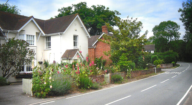
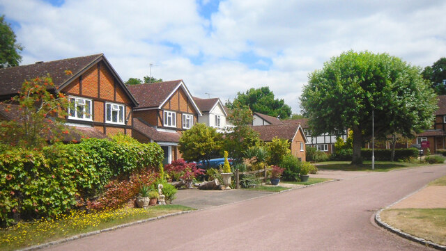
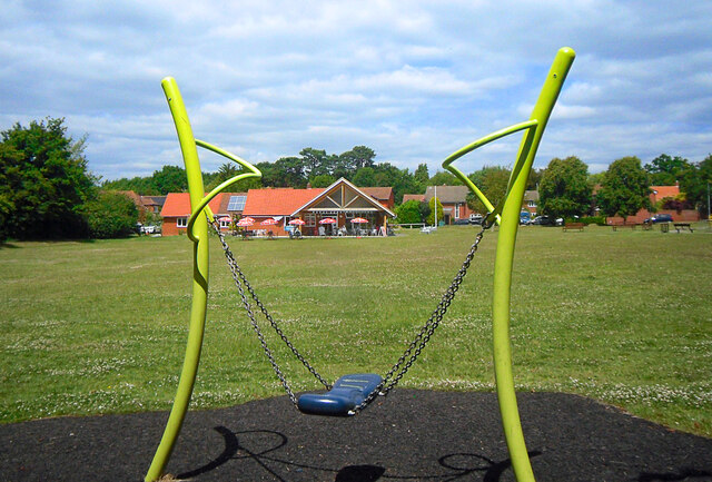
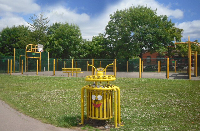
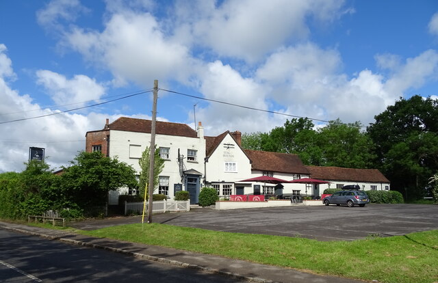
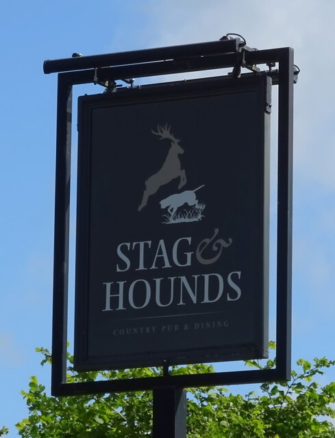
The village itself is a mix of old and new, with traditional thatched cottages alongside modern developments. It has a population of around 8,000 people and offers a range of amenities, including local shops, pubs, and restaurants. The parish also has a primary school, a village hall, and various recreational facilities.
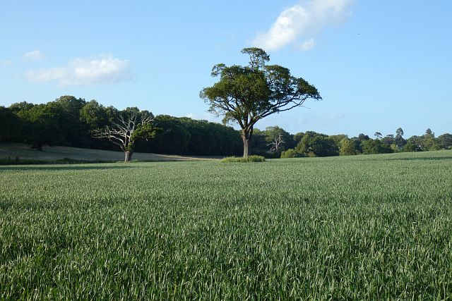
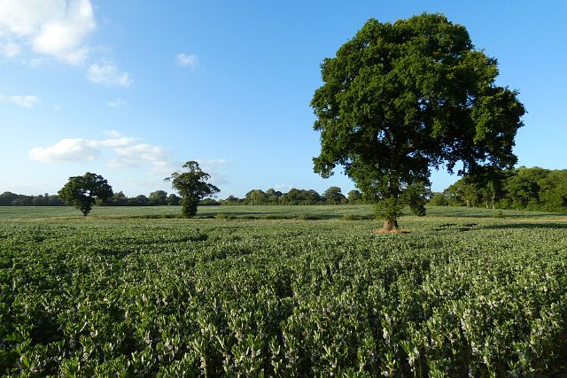
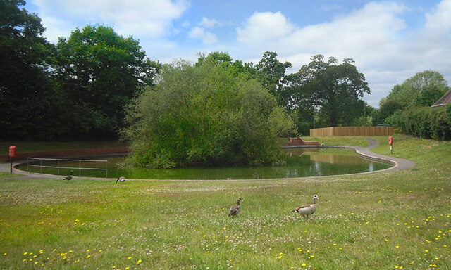
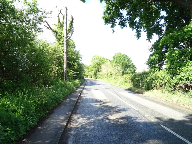
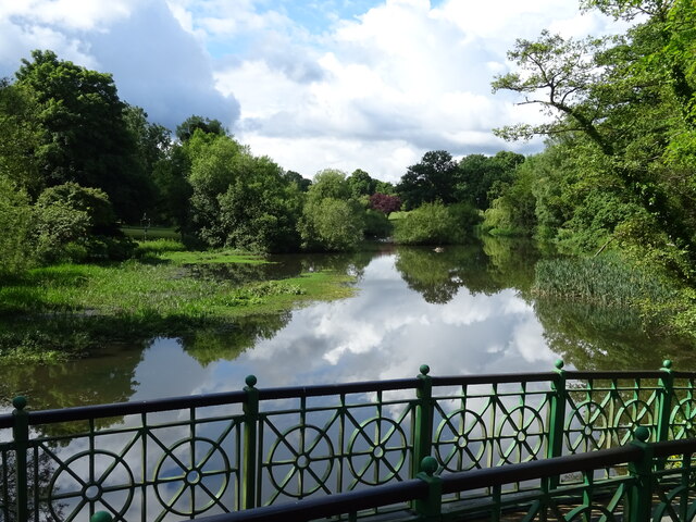
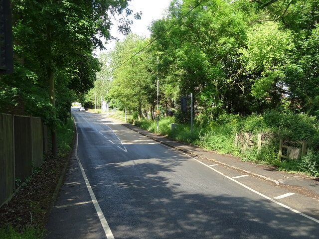
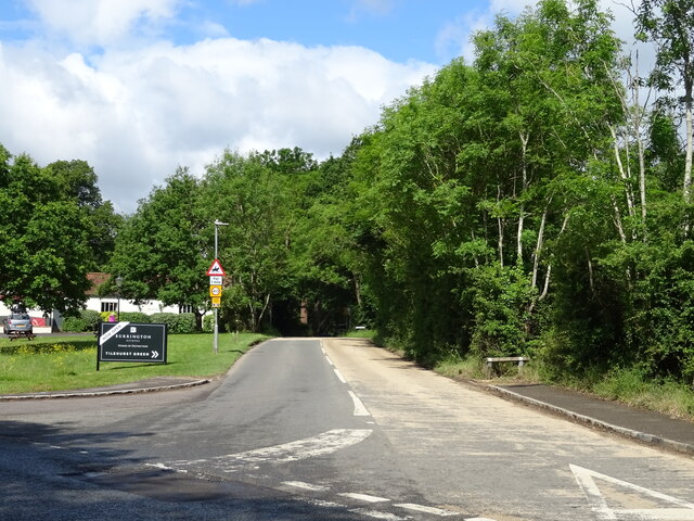
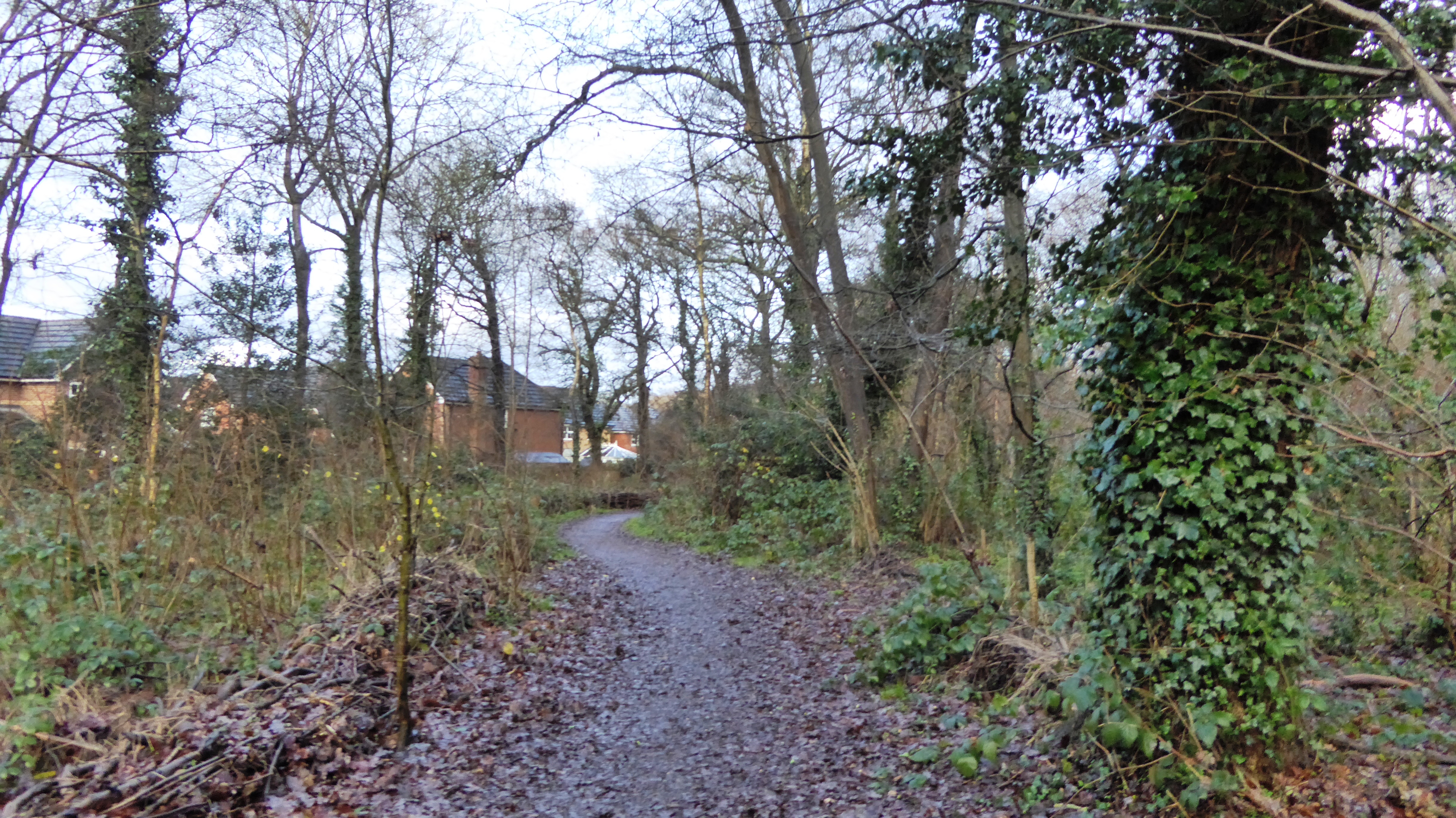
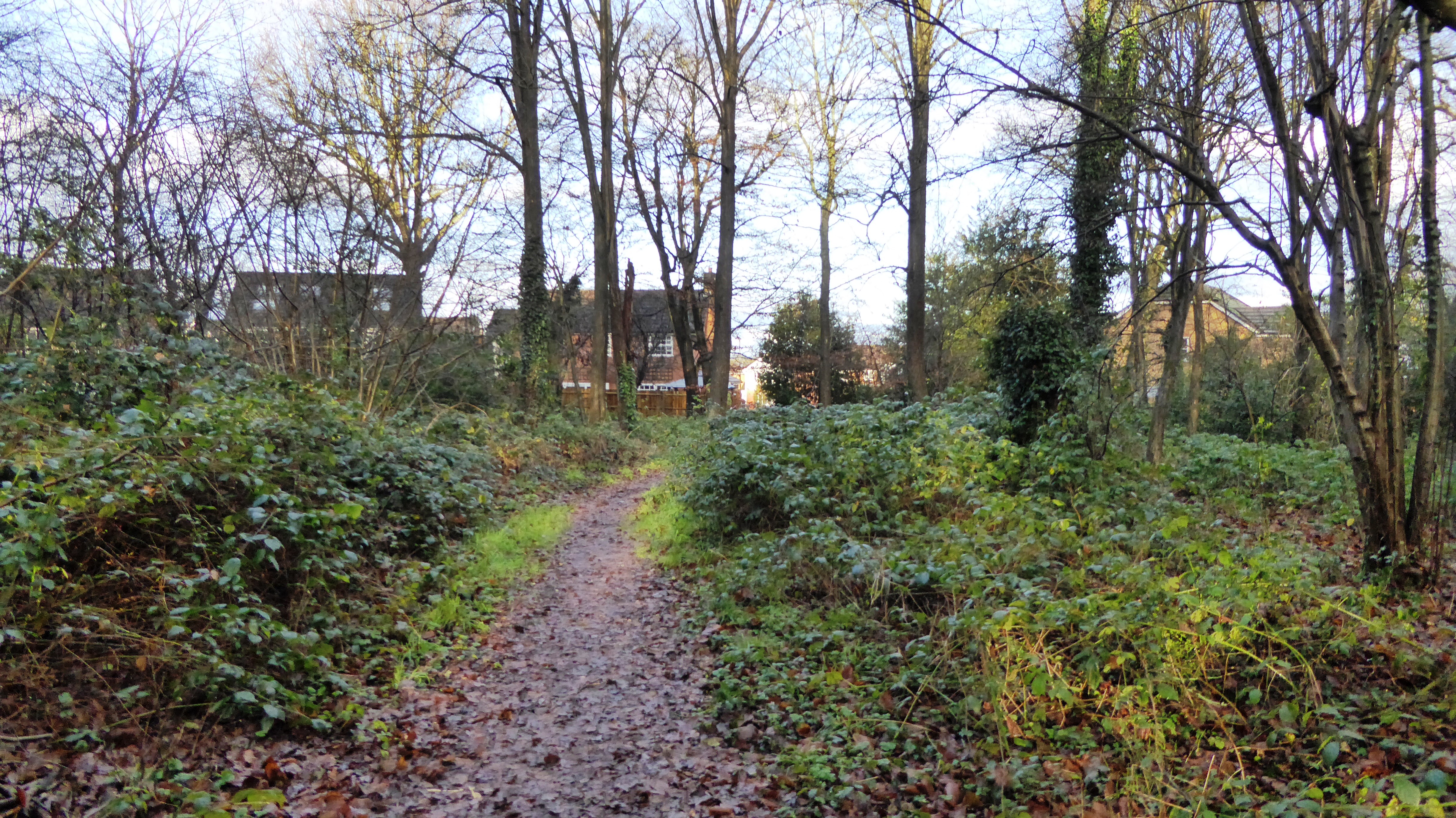
Binfield is surrounded by picturesque countryside, with plenty of green spaces and woodland areas for residents and visitors to enjoy. It is well-connected by road, with the A329(M) and M4 motorway providing easy access to nearby towns and cities.
Overall, Binfield is a charming and historic parish that offers a peaceful and rural setting, while still being within easy reach of larger urban areas.
If you have any feedback on the listing, please let us know in the comments section below.
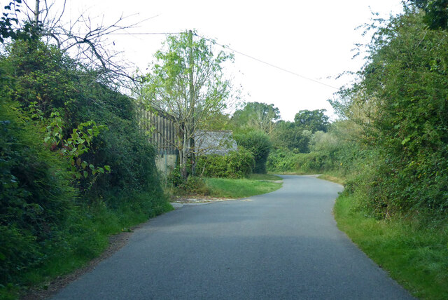
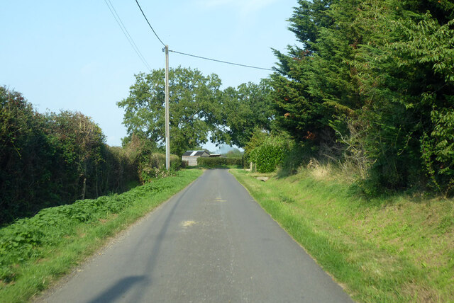
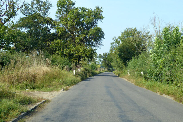
Binfield Images
Images are sourced within 2km of 51.437237/-0.781064 or Grid Reference SU8471. Thanks to Geograph Open Source API. All images are credited.
Binfield is located at Grid Ref: SU8471 (Lat: 51.437237, Lng: -0.781064)
Unitary Authority: Bracknell Forest
Police Authority: Thames Valley
What 3 Words
///kick.vocab.brand. Near Binfield, Berkshire
Nearby Locations
Related Wikis

Berks County F.C.
Berks County Football Club is a football club based in Binfield, England. They are currently members of the Combined Counties League Division One and groundshare...
Binfield F.C.
Binfield Football Club is a football club based in Binfield, near Bracknell, Berkshire, England. Affiliated to the Berks & Bucks Football Association,...

Binfield
Binfield is a village and civil parish in Berkshire, England, which at the 2011 census had a population of 8,689. The village lies 2 miles (3.2 km) north...
Temple Park
Temple Park is a suburb of Bracknell in the English county of Berkshire and part of the civil parish of Binfield. It was built during the 1990s as the...
Newbold College of Higher Education
Newbold College of Higher Education is a member of the worldwide network of Seventh-day Adventist colleges and universities and attracts students from...
Tinkers Copse
Tinkers Copse is a 1.9-hectare (4.7-acre) Local Nature Reserve on the northwestern outskirts of Bracknell in Berkshire. It is owned and managed by Bracknell...
Temple Copse
Temple Copse is a 1.9-hectare (4.7-acre) Local Nature Reserve on the northwestern outskirts of Bracknell in Berkshire. It is owned and managed by Bracknell...

Jock's Copse
Jock's Copse is a 1.5-hectare (3.7-acre) Local Nature Reserve on the northern outskirts of Bracknell in Berkshire. It is owned and managed by Bracknell...
Nearby Amenities
Located within 500m of 51.437237,-0.781064Have you been to Binfield?
Leave your review of Binfield below (or comments, questions and feedback).