Binfield Park

Settlement in Berkshire

England

Binfield Park

Temple Way, Bracknell
Temple Way, Bracknell Credit: Robin Webster

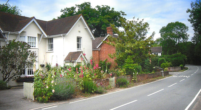
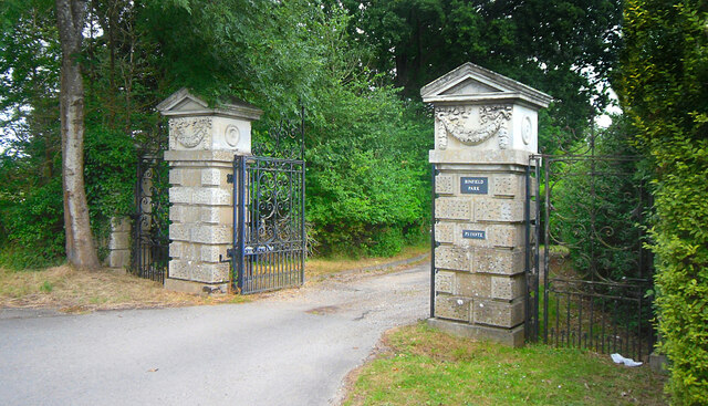
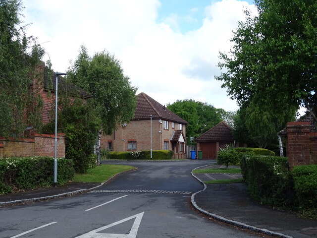
Binfield Park is a historic country estate located in the village of Binfield, Berkshire, England. Spread over 300 acres of lush greenery, the park is renowned for its picturesque beauty and tranquil ambiance.

Dating back to the 18th century, Binfield Park has a rich history. The estate features a grand Georgian mansion, which was once the residence of prominent British families. The architecture of the mansion is a testament to the elegance and opulence of the era, with its stunning symmetrical design and intricate detailing.

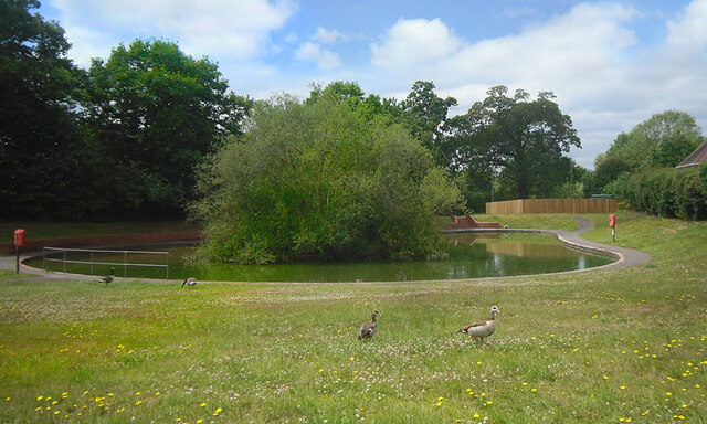
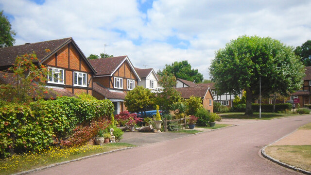
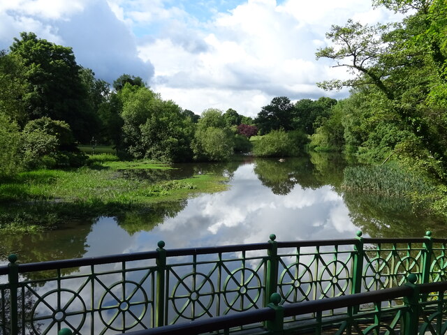
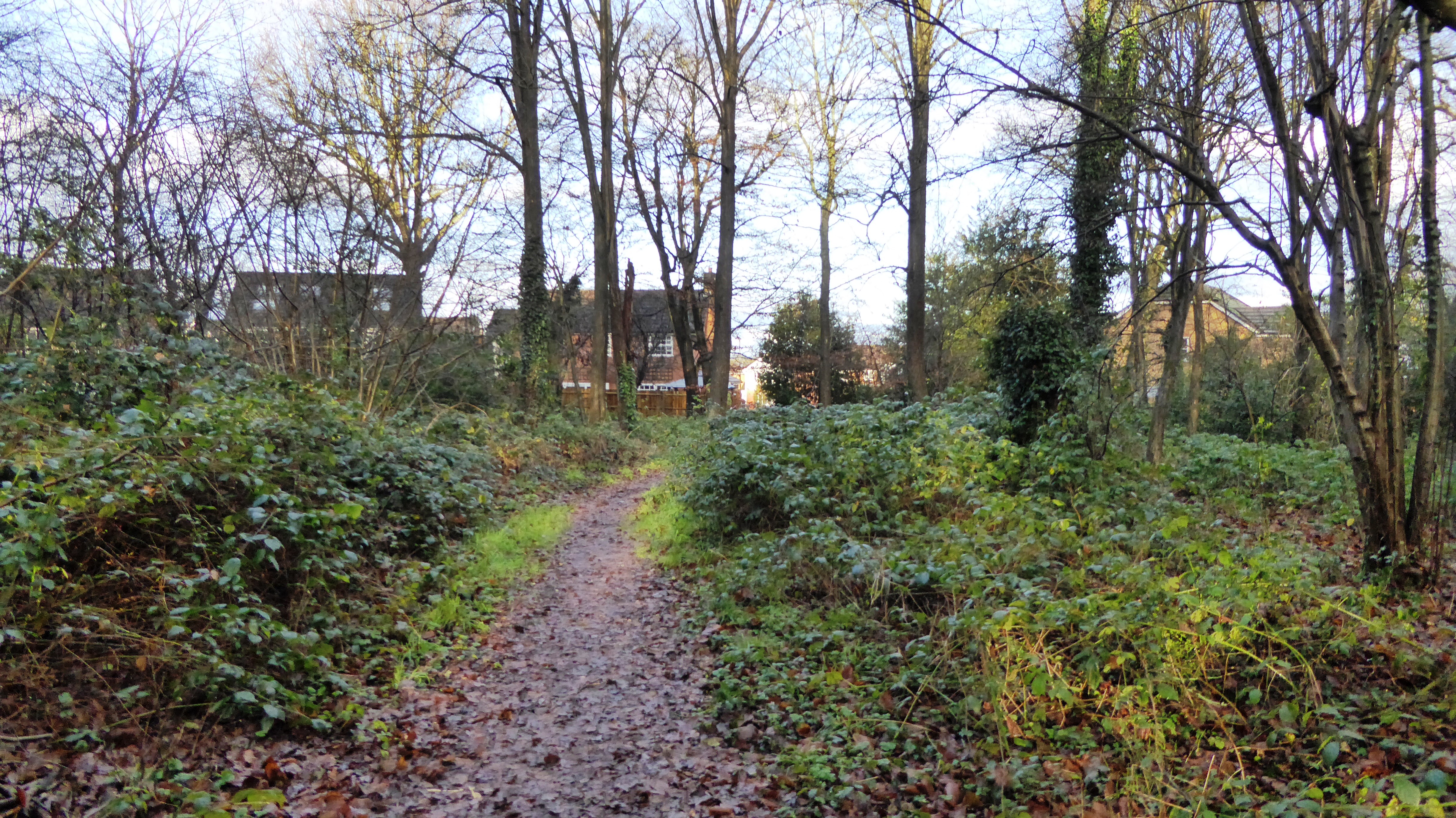
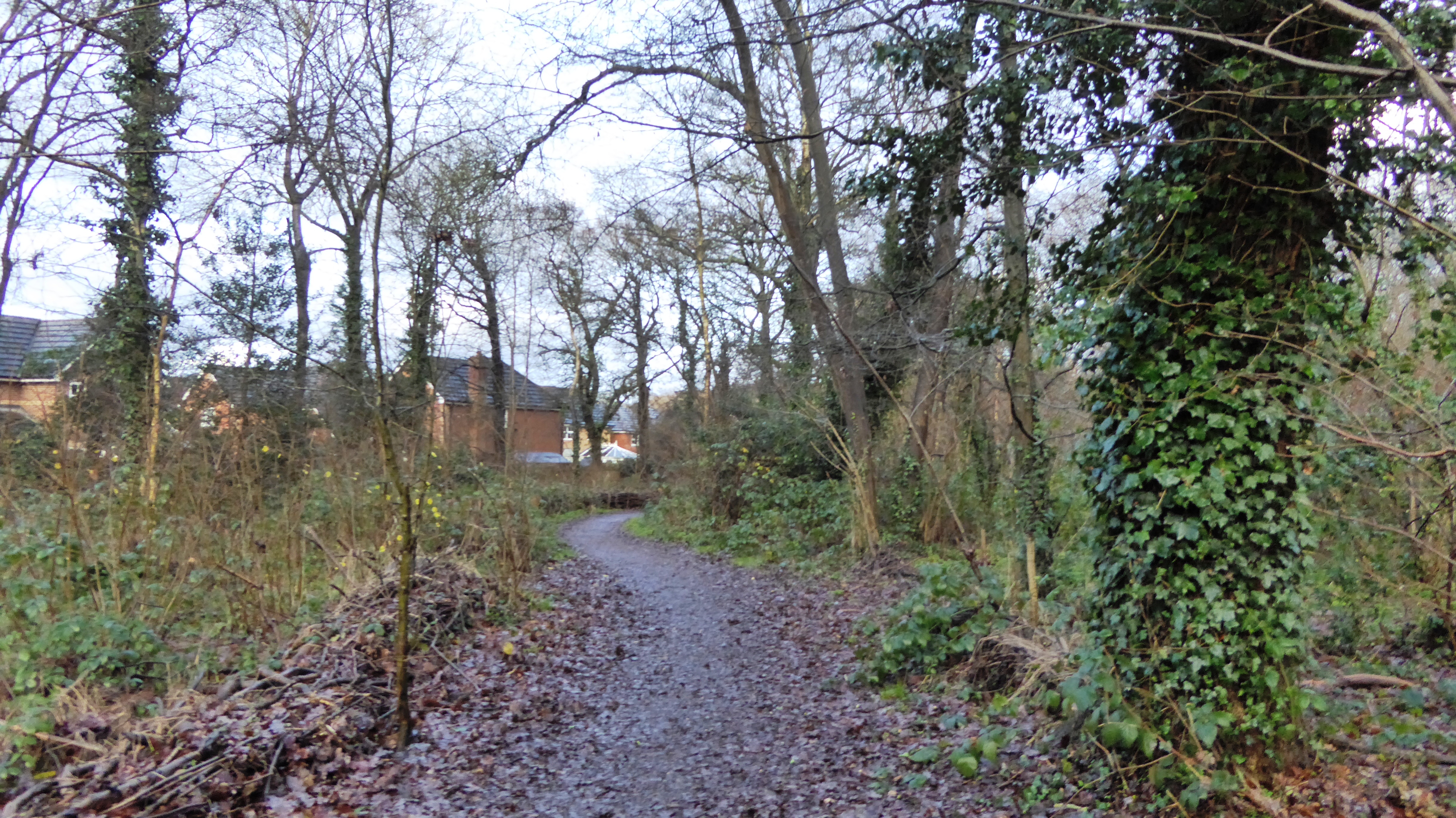
The park itself offers a delightful escape from the hustle and bustle of city life. It boasts expansive lawns, vibrant flower gardens, and a variety of mature trees that provide shade and serenity. The park's well-maintained pathways invite visitors to take leisurely strolls, enjoying the breathtaking views and the soothing sounds of nature.

Moreover, Binfield Park is home to a diverse range of wildlife, making it a haven for nature lovers. Visitors may catch a glimpse of deer, rabbits, or various bird species during their visit.

In recent years, Binfield Park has become a popular venue for weddings, corporate events, and private parties. Its idyllic surroundings and elegant setting make it an ideal choice for those seeking a charming and exclusive location for their special occasions.

Overall, Binfield Park is a hidden gem in Berkshire, offering a harmonious blend of history, natural beauty, and tranquility, making it a must-visit destination for locals and tourists alike.

If you have any feedback on the listing, please let us know in the comments section below.

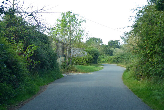
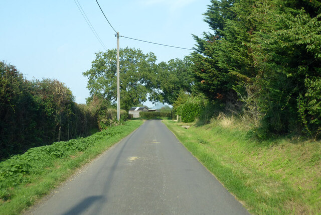
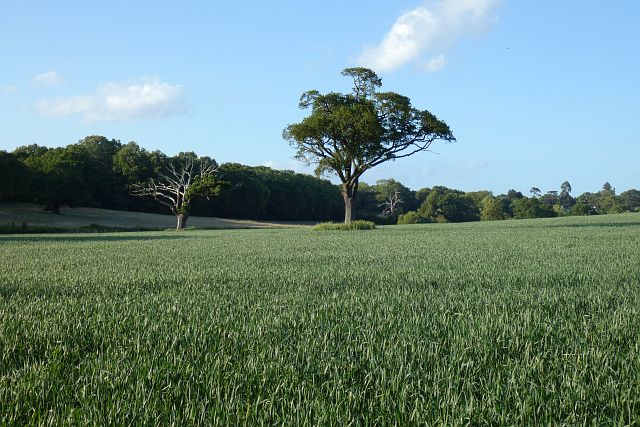
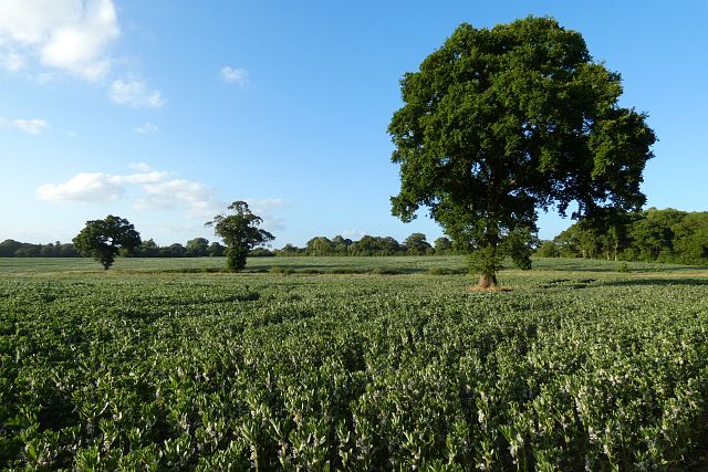
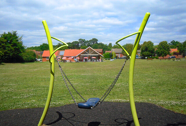
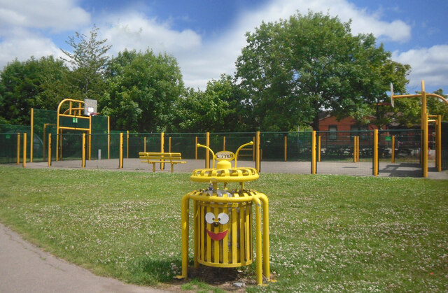
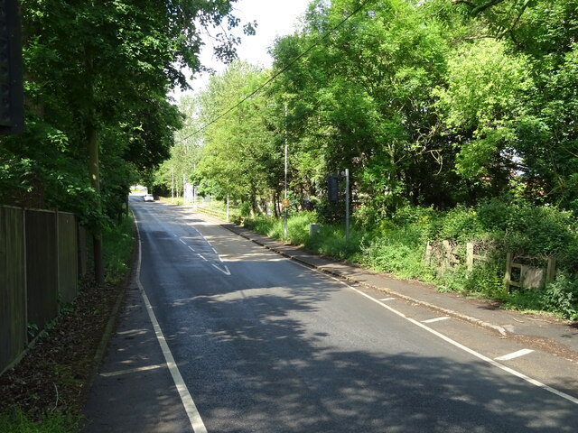
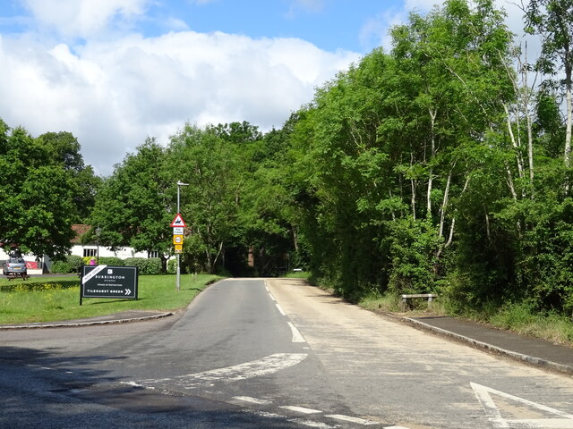
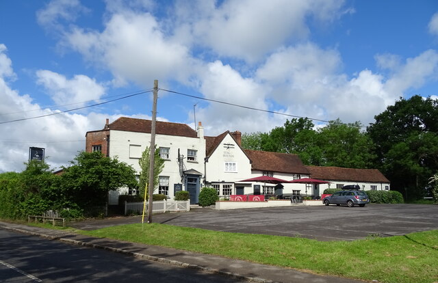
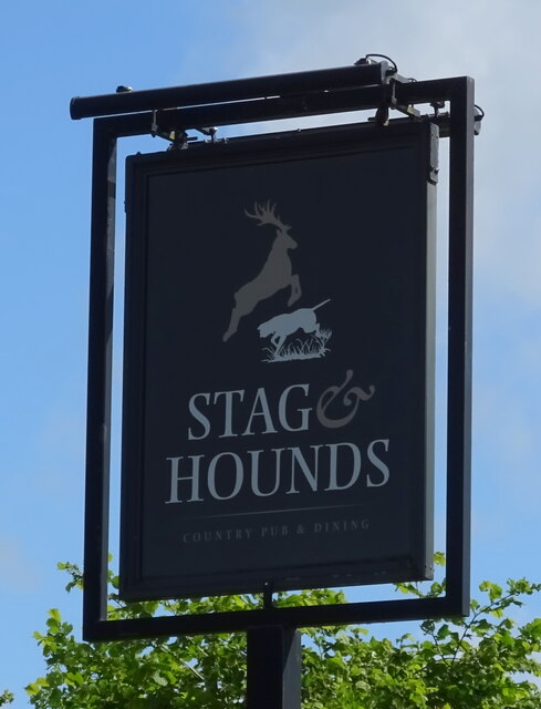
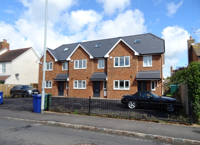
Binfield Park Images

Images are sourced within 2km of 51.43606/-0.78549084 or Grid Reference SU8471. Thanks to Geograph Open Source API. All images are credited.

Temple Way, Bracknell
Cabbage Hill Lane By Ryehurst Farm.
Cabbage Hill Lane
By Ryehurst Farm.
Ryehurst Lane Heading north in the general direction of Maidenhead.
Ryehurst Lane
Heading north in the general direction of Maidenhead.
Farmland, St Nicholas Hurst Arable land with oaks to the east of Carters Hill.
Farmland, St Nicholas Hurst
Arable land with oaks to the east of Carters Hill.
Farmland, St Nicholas Hurst Oaks stand in fields of beans currently occupying some of the small rural gap between Binfield and Wokingham.
Farmland, St Nicholas Hurst
Oaks stand in fields of beans currently occupying some of the small rural gap between Binfield and Wokingham.
Terrace Road North, Binfield Houses at the north end of the village, the nearest one with some fine hollyhocks in front.
Terrace Road North, Binfield
Houses at the north end of the village, the nearest one with some fine hollyhocks in front.
Binfield Park Entrance Gates The driveway to a sizeable 18th century country house.
Binfield Park Entrance Gates
The driveway to a sizeable 18th century country house.
Geese & Pond, Nash Park A small balancing pond in a new development supports an un-naturally large population of ducks, geese and moorhens.
Geese & Pond, Nash Park
A small balancing pond in a new development supports an un-naturally large population of ducks, geese and moorhens.
Nash Park, Binfield A short residential street in an area of recent development.
Nash Park, Binfield
A short residential street in an area of recent development.
Foxley Fields, Binfield A suburban park with sports and play areas and a cafe in the building which is shared with the parish council offices.
Foxley Fields, Binfield
A suburban park with sports and play areas and a cafe in the building which is shared with the parish council offices.
Basketball & Bin On Foxley Fields Recreation Ground.
Basketball & Bin
On Foxley Fields Recreation Ground.
The Cut, Binfield Manor
B3034 towards Binfield
Church Lane (B3018) Towards Twyford.
Church Lane (B3018)
Towards Twyford.
The Stag & Hounds, Binfield See <a href="https://www.geograph.org.uk/photo/7280678">SU8571 : Sign for the Stag & Hounds, Binfield</a> for sign.
The Stag & Hounds, Binfield
Sign for the Stag & Hounds, Binfield See <a href="https://www.geograph.org.uk/photo/7280676">SU8571 : The Stag & Hounds, Binfield</a> for context.
Sign for the Stag & Hounds, Binfield
Houses on Forest Road, Binfield
Arthurstone Birches, Binfield
Show me another place!

Binfield Park is located at Grid Ref: SU8471 (Lat: 51.43606, Lng: -0.78549084)

Unitary Authority: Bracknell Forest

Police Authority: Thames Valley

What 3 Words

///shin.backs.trader. Near Binfield, Berkshire

Nearby Locations

Binfield Park Binfield

Related Wikis

Binfield

Binfield is a village and civil parish in Berkshire, England, which at the 2011 census had a population of 8,689. The village lies 2 miles (3.2 km) north...

Berks County F.C.

Berks County Football Club is a football club based in Ascot, England. They are currently members of the Combined Counties League Division One and groundshare...

Binfield F.C.

Binfield Football Club is a football club based in Binfield, near Bracknell, Berkshire, England. Affiliated to the Berks & Bucks Football Association,...

Newbold College of Higher Education

Newbold College of Higher Education is a member of the worldwide network of Seventh-day Adventist colleges and universities and attracts students from...

Temple Park

Temple Park is a suburb of Bracknell in the English county of Berkshire and part of the civil parish of Binfield. It was built during the 1990s as the...

Temple Copse

Temple Copse is a 1.9-hectare (4.7-acre) Local Nature Reserve on the northwestern outskirts of Bracknell in Berkshire. It is owned and managed by Bracknell...

Tinkers Copse

Tinkers Copse is a 1.9-hectare (4.7-acre) Local Nature Reserve on the northwestern outskirts of Bracknell in Berkshire. It is owned and managed by Bracknell...

Billingbear

Billingbear is a hamlet in the civil parish of Binfield and a former country estate in the civil parish of Waltham St Lawrence, near Bracknell, in the...

Nearby Amenities

Located within 500m of 51.43606,-0.78549084
Pub
The Victoria Arms
Brand: Fuller's
Brand Wikidata: Q5253950
Toilets Wheelchair: no
Website: https://www.victoriaarmsbinfield.co.uk/
Wheelchair: limited
Lat/Long: 51.4349621/-0.7893592
Crossing
Crossing: unmarked
Kerb: lowered
Sloped Curb: yes
Source: Mapbox
Lat/Long: 51.4321157/-0.7840842
Crossing
Bicycle: yes
Crossing: unmarked
Kerb: lowered
Sloped Curb: yes
Source: Mapbox
Lat/Long: 51.4318485/-0.7857222
Crossing
Crossing: unmarked
Kerb: lowered
Sloped Curb: yes
Source: Mapbox
Lat/Long: 51.4321009/-0.7845227
Crossing
Crossing: unmarked
Kerb: lowered
Sloped Curb: yes
Source: Bing
Lat/Long: 51.434309/-0.7860371
Traffic Calming: island
Lat/Long: 51.4359153/-0.7889726
Crossing
Crossing: unmarked
Kerb: lowered
Sloped Curb: yes
Source: Bing
Lat/Long: 51.4345029/-0.7856583
Crossing
Crossing: unmarked
Kerb: lowered
Sloped Curb: yes
Source: Bing
Lat/Long: 51.4350541/-0.7864391
Traffic Calming: island
Lat/Long: 51.4360933/-0.7891199
Traffic Calming: island
Lat/Long: 51.4360113/-0.7887284
Crossing
Crossing: unmarked
Kerb: lowered
Sloped Curb: yes
Source: Bing
Lat/Long: 51.4344749/-0.7848261
Traffic Calming: island
Lat/Long: 51.4361674/-0.7888292
Crossing
Crossing: unmarked
Kerb: lowered
Sloped Curb: yes
Source: Mapbox
Lat/Long: 51.4322764/-0.7821293
Direction: 195
Generator Method: photovoltaic
Generator Output Electricity: yes
Generator Solar Modules: 16
Generator Source: solar
Generator Type: solar_photovoltaic_panel
Location: roof
Power: generator
Lat/Long: 51.4345351/-0.7918279
Direction: 155
Generator Method: photovoltaic
Generator Output Electricity: yes
Generator Solar Modules: 15
Generator Source: solar
Generator Type: solar_photovoltaic_panel
Location: roof
Power: generator
Lat/Long: 51.4372195/-0.7914333
Direction: 240
Generator Method: photovoltaic
Generator Output Electricity: yes
Generator Solar Modules: 15
Generator Source: solar
Generator Type: solar_photovoltaic_panel
Location: roof
Power: generator
Lat/Long: 51.4375616/-0.7904046
Direction: 180
Generator Method: photovoltaic
Generator Output Electricity: yes
Generator Solar Modules: 4
Generator Source: solar
Generator Type: solar_photovoltaic_panel
Location: roof
Power: generator
Lat/Long: 51.4332957/-0.7900929
Direction: 180
Generator Method: photovoltaic
Generator Output Electricity: yes
Generator Solar Modules: 5
Generator Source: solar
Generator Type: solar_photovoltaic_panel
Location: roof
Power: generator
Lat/Long: 51.4329895/-0.7897589
Direction: 90
Generator Method: photovoltaic
Generator Output Electricity: yes
Generator Solar Modules: 11
Generator Source: solar
Generator Type: solar_photovoltaic_panel
Location: roof
Power: generator
Lat/Long: 51.4330258/-0.7897128
Direction: 180
Generator Method: photovoltaic
Generator Output Electricity: yes
Generator Solar Modules: 15
Generator Source: solar
Generator Type: solar_photovoltaic_panel
Location: roof
Power: generator
Lat/Long: 51.4325885/-0.7883921
Direction: 195
Generator Method: photovoltaic
Generator Output Electricity: yes
Generator Solar Modules: 11
Generator Source: solar
Generator Type: solar_photovoltaic_panel
Location: roof
Power: generator
Lat/Long: 51.4344255/-0.7878818
Direction: 105
Generator Method: photovoltaic
Generator Output Electricity: yes
Generator Solar Modules: 5
Generator Source: solar
Generator Type: solar_photovoltaic_panel
Location: roof
Power: generator
Lat/Long: 51.4344312/-0.7878209
Post Box
Operator: Royal Mail
Post Box Type: pillar
Ref: RG42 73D
Royal Cypher: GR
Lat/Long: 51.4338638/-0.7904309
The data included in this document is from www.openstreetmap.org. The data is made available under ODbL.

Have you been to Binfield Park?

Leave your review of Binfield Park below (or comments, questions and feedback).