Cock Hill
Hill, Mountain in Somerset Mendip
England
Cock Hill
Cock Hill is a notable hill located in the county of Somerset, England. Situated in the Mendip Hills, it stands at an elevation of approximately 174 meters (571 feet) above sea level. The hill is positioned near the village of Dundry, just south of Bristol.
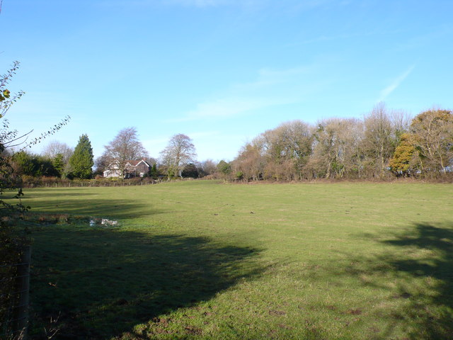
Cock Hill boasts stunning views of the surrounding countryside, offering visitors a panoramic vista of the rolling Somerset landscape. From its summit, one can observe the Bristol Channel to the west, with glimpses of the Severn Estuary on clear days. To the east, the hill provides picturesque views of the Chew Valley Lake, a large reservoir nestled within the Chew Valley.
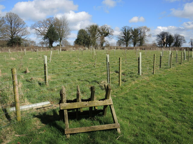
The hill is characterized by its gentle slopes and rounded peak, covered in grass and scattered with a variety of wildflowers. It is a popular spot for walkers, hikers, and nature enthusiasts, who are drawn to its tranquil and idyllic setting. Several footpaths and trails traverse its slopes, allowing visitors to explore the area and enjoy the peaceful ambiance.
Cock Hill holds historical significance as well, with evidence of human activity dating back to the Neolithic period. Archaeological finds in the vicinity include burial mounds and ancient artifacts, highlighting the hill's long-standing connection to human settlement.
Overall, Cock Hill in Somerset offers visitors a chance to experience the natural beauty and rich history of the region, making it a cherished landmark in the Mendip Hills.
If you have any feedback on the listing, please let us know in the comments section below.
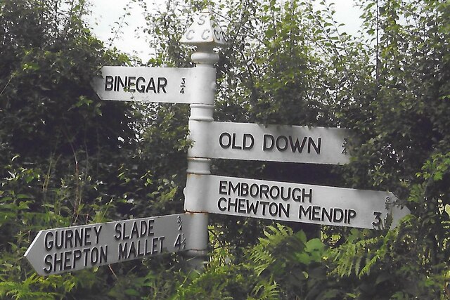
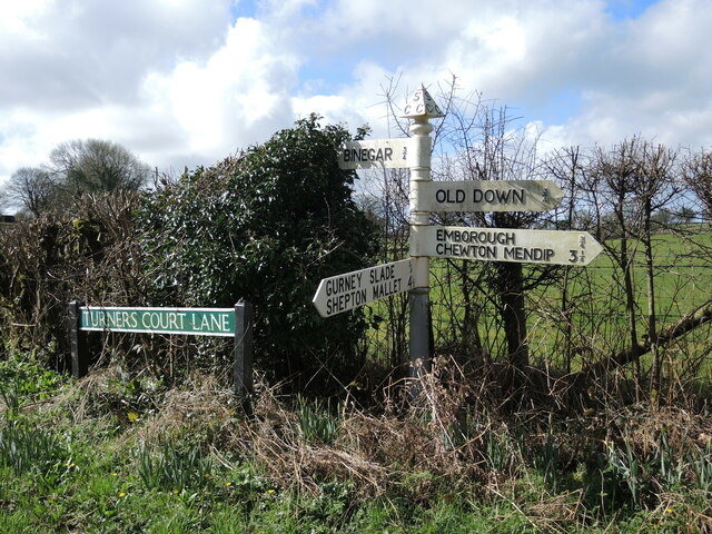
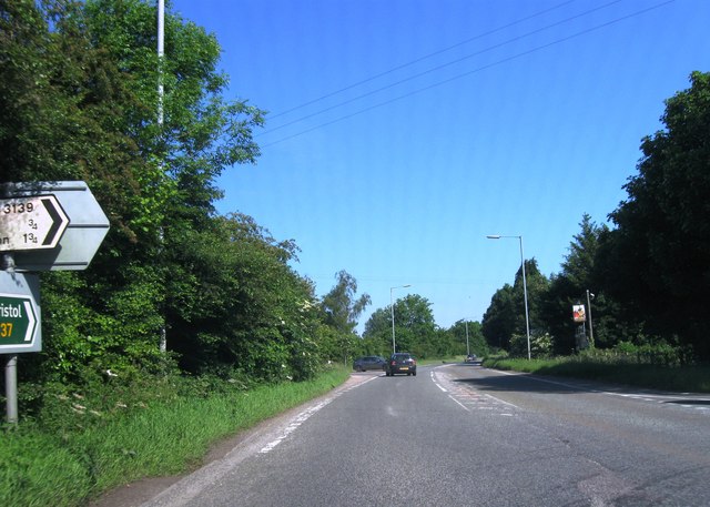
Cock Hill Images
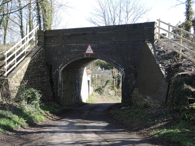
Images are sourced within 2km of 51.242903/-2.5367358 or Grid Reference ST6249. Thanks to Geograph Open Source API. All images are credited.


Cock Hill is located at Grid Ref: ST6249 (Lat: 51.242903, Lng: -2.5367358)
Administrative County: Somerset
District: Mendip
Police Authority: Avon and Somerset
What 3 Words
///images.pull.insisting. Near Chilcompton, Somerset
Nearby Locations
Related Wikis

Gurney Slade quarry
Gurney Slade quarry, grid reference ST626497 is a limestone quarry near Gurney Slade between Binegar and Holcombe, on the Mendip Hills, Somerset, England...

Binegar
Binegar is a small village and civil parish in Somerset, England. It is located on the A37, 4 miles (6.4 km) east of Wells, between Shepton Mallet and...

Binegar railway station
Binegar railway station was a station on the Somerset and Dorset Joint Railway in the county of Somerset in England. Opened on 20 July 1874, the station...
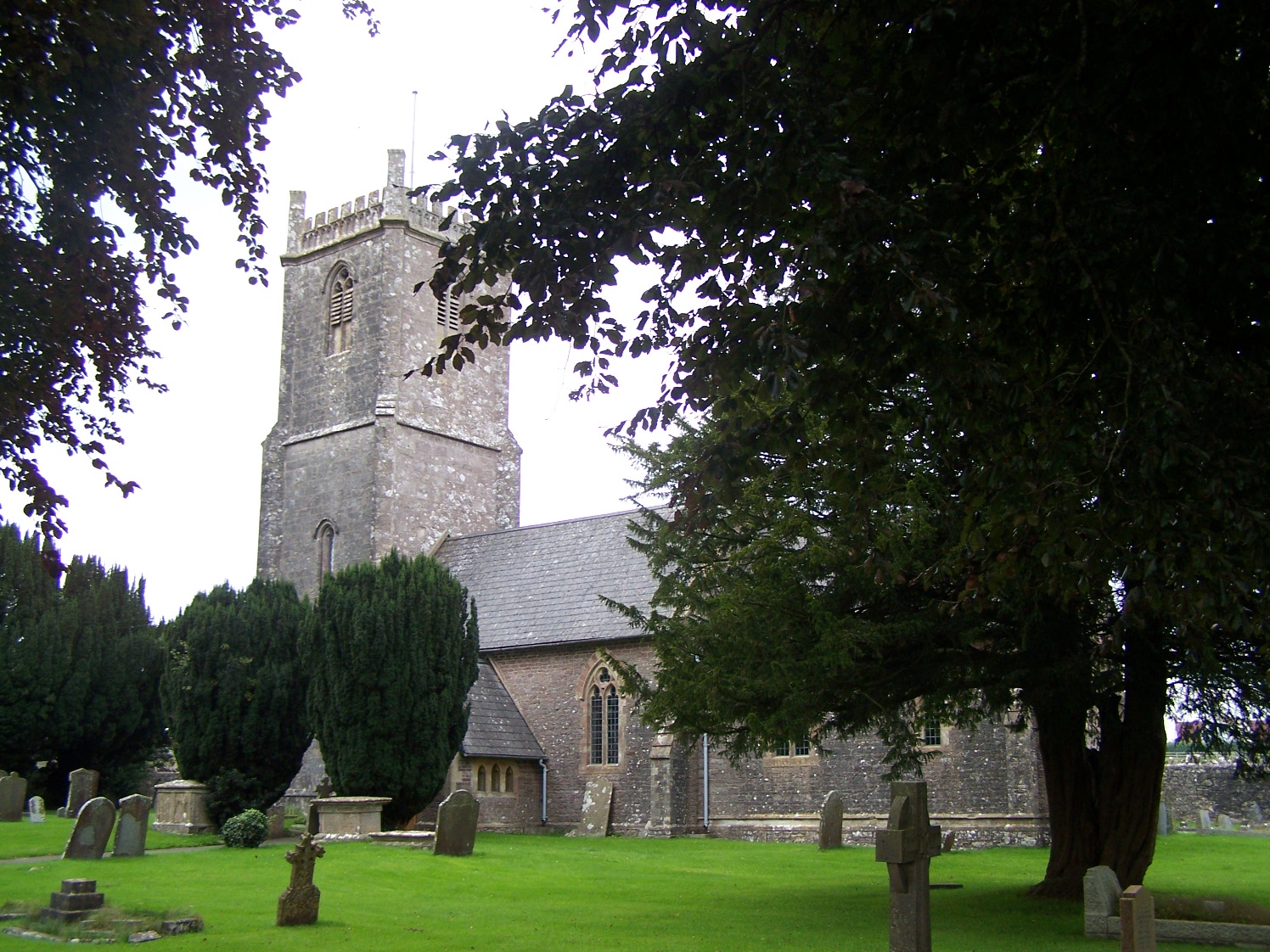
Church of the Holy Trinity, Binegar
The Anglican Church of the Holy Trinity, Binegar, Somerset, England is Norman but has been rebuilt and restored several times since. It is a Grade II*...
Nearby Amenities
Located within 500m of 51.242903,-2.5367358Have you been to Cock Hill?
Leave your review of Cock Hill below (or comments, questions and feedback).