Black Hill

Hill, Mountain in Aberdeenshire

Scotland

Black Hill

Moorland of Red Hill with fence, boundary stone and woodland The fence crosses the north end of Red Hill on Corrennie Moor. The boundary stone is unmarked - others seen in the area are cut with letters. Beyond the trees can be seen Green Hill.
Moorland of Red Hill with fence, boundary stone and woodland Credit: Trevor Littlewood

Black Hill is a prominent hill located in Aberdeenshire, Scotland. Situated in the eastern part of the region, it forms part of the scenic landscape of the area and offers breathtaking views of the surrounding countryside.

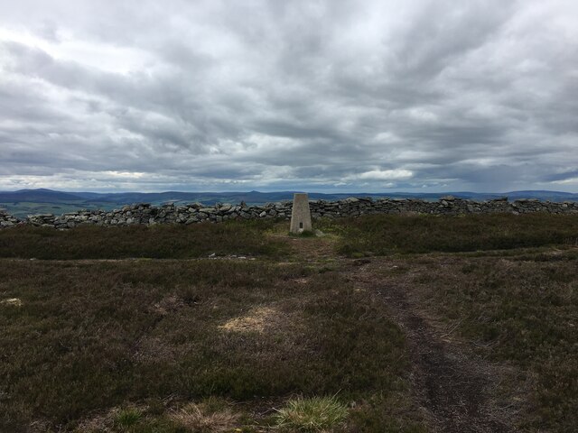
Standing at an elevation of approximately 436 meters (1,430 feet), Black Hill is considered a relatively modest hill in terms of height. However, its position on the eastern edge of Aberdeenshire makes it a prominent landmark visible from miles around.

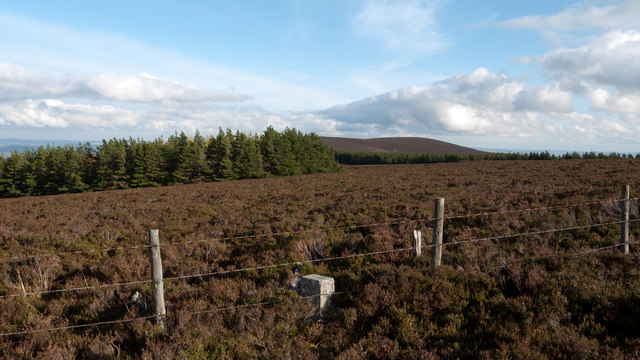
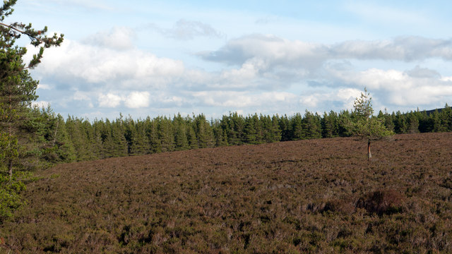
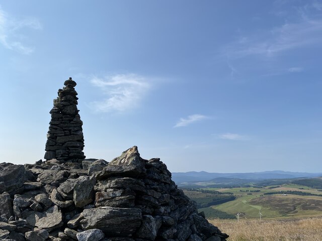
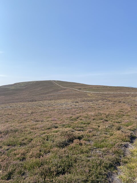
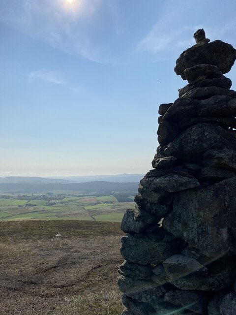
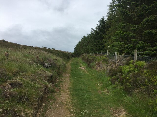
The hill is characterized by its distinctive shape, with a rounded summit and steep slopes covered in heather and grass. It is a popular destination for hikers and outdoor enthusiasts due to its accessibility and the rewarding panoramas it offers. On a clear day, visitors can enjoy uninterrupted vistas of the surrounding countryside, including the rolling hills, farmland, and nearby forests.

Black Hill is also home to a variety of flora and fauna, including heather, bilberry, and various species of birds. It is a designated Site of Special Scientific Interest (SSSI), highlighting its ecological importance and biodiversity.

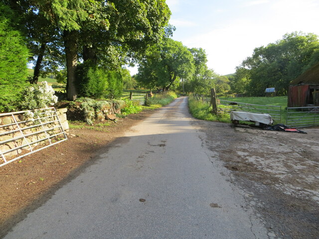
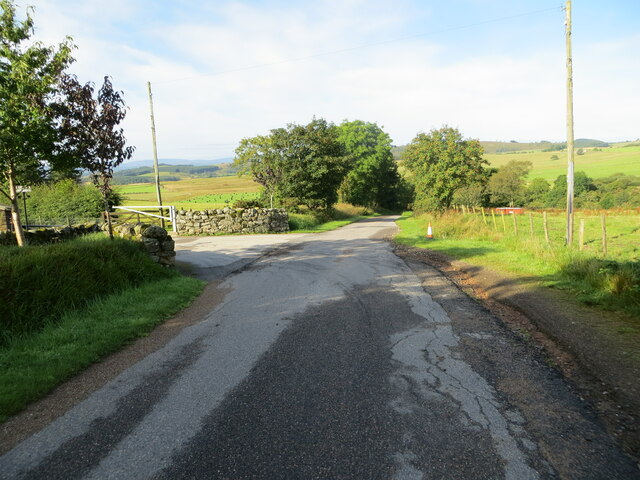
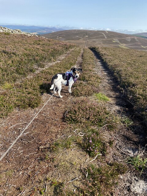
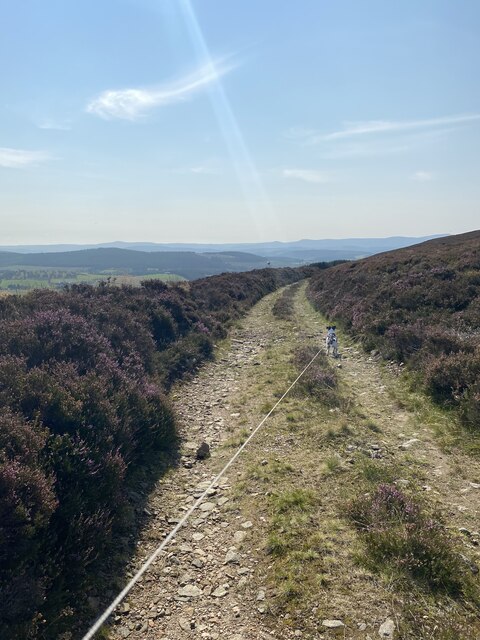
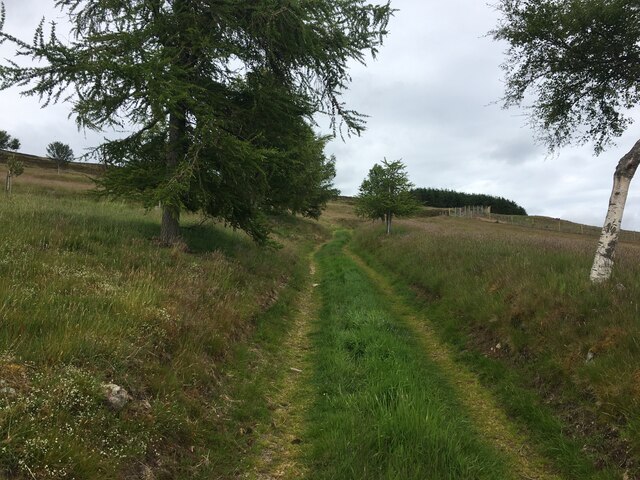
Visitors can access Black Hill via a network of footpaths and trails, which provide a range of routes to suit different fitness levels and preferences. The hill offers a peaceful and tranquil setting, allowing visitors to escape the hustle and bustle of everyday life and connect with nature.

In conclusion, Black Hill in Aberdeenshire is a picturesque and accessible hill, offering stunning views and a chance to explore the natural beauty of the Scottish countryside.

If you have any feedback on the listing, please let us know in the comments section below.
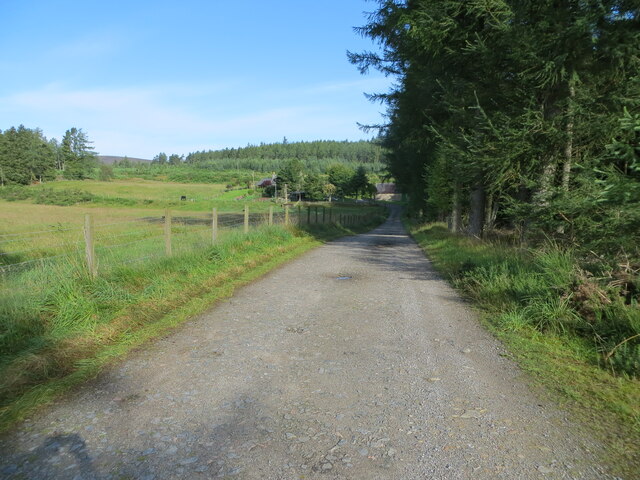
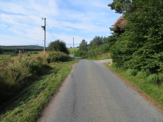
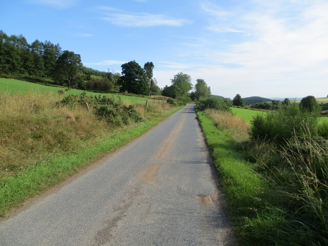
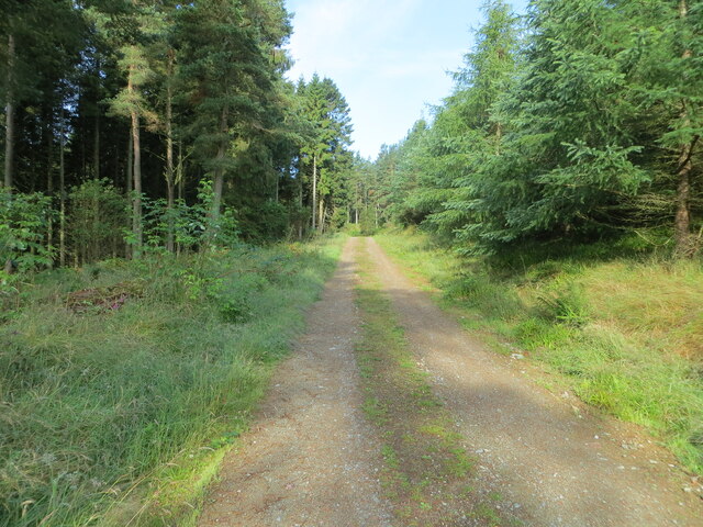
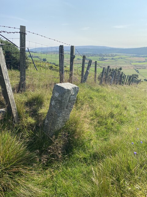
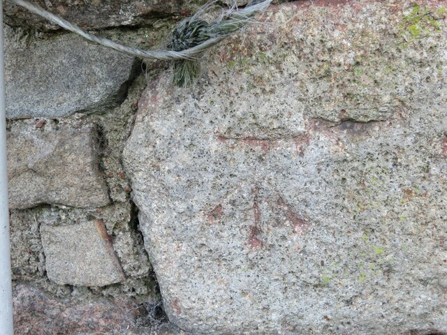
Black Hill Images

Images are sourced within 2km of 57.165558/-2.619469 or Grid Reference NJ6208. Thanks to Geograph Open Source API. All images are credited.

Moorland of Red Hill with fence, boundary stone and woodland The fence crosses the north end of Red Hill on Corrennie Moor. The boundary stone is unmarked - others seen in the area are cut with letters. Beyond the trees can be seen Green Hill.
Moorland of Red Hill with fence, boundary stone and woodland
The fence crosses the north end of Red Hill on Corrennie Moor. The boundary stone is unmarked - others seen in the area are cut with letters. Beyond the trees can be seen Green Hill.
Heather moorland surrounded by trees North-east of Red Hill, part of Corrennie Moor, conifer plantings surround an area of heather moorland. A rogue tree stands alone.
Heather moorland surrounded by trees
North-east of Red Hill, part of Corrennie Moor, conifer plantings surround an area of heather moorland. A rogue tree stands alone.
Minor road at Milton of Tolmauds Looking north-eastward.
Minor road at Milton of Tolmauds
Looking north-eastward.
Minor road at the entrance to Easter Tolmauds Looking south-westward.
Minor road at the entrance to Easter Tolmauds
Looking south-westward.
Track giving access to Ewens Croft Looking north-westward.
Track giving access to Ewens Croft
Looking north-westward.
Minor road near to Corrennie Looking south-westward.
Minor road near to Corrennie
Looking south-westward.
Minor road between Baudygaun and Rinalloch Looking north-eastward.
Minor road between Baudygaun and Rinalloch
Looking north-eastward.
Tree-lined track giving access to Corrennie Croft Looking westward.
Tree-lined track giving access to Corrennie Croft
Looking westward.
Cairn near Benaquhallie
Path that doesn't exist on the map!
View to Benaquhallie
Track on descent from Benaquhallie
Boundary Stone
Boundary Stone
View from Cairn near Benaquhallie
Ordnance Survey Cut Mark This somewhat weathered mark can be found on the wall of a barn at Milton of Tolmauds.
The recorded details give a height of 235.0877 metres above sea level.
For more details see : <span class="nowrap"><a title="https://www.bench-marks.org.uk/bm163474" rel="nofollow ugc noopener" href="https://www.bench-marks.org.uk/bm163474">Link</a><img style="margin-left:2px;" alt="External link" title="External link - shift click to open in new window" src="https://s1.geograph.org.uk/img/external.png" width="10" height="10"/></span>
Ordnance Survey Cut Mark
This somewhat weathered mark can be found on the wall of a barn at Milton of Tolmauds. The recorded details give a height of 235.0877 metres above sea level. For more details see : LinkExternal link
Farm track above Upper Broomhill
Hill track above Upper Broomhill
Trig point on Benaquhallie
Show me another place!

Black Hill is located at Grid Ref: NJ6208 (Lat: 57.165558, Lng: -2.619469)

Unitary Authority: Aberdeenshire

Police Authority: North East

What 3 Words

///worms.batches.mini. Near Torphins, Aberdeenshire

Related Wikis

Tornaveen

Tornaveen (Scottish Gaelic: Tòrr nam Fiann) is a district to the north of the small village of Lumphanan, Aberdeenshire, Scotland. It is on the Tarland...

Aberdeenshire (historic)

Aberdeenshire or the County of Aberdeen (Scots: Coontie o Aiberdeen, Scottish Gaelic: Siorrachd Obar Dheathain) is a historic county and registration county...

Tillyfourie

Tillyfourie is a hamlet in Aberdeenshire, Scotland. It is situated at the junction between the A944 road and the B993 road. A disused quarry and a stone...

Tillyfourie railway station

Tillyfourie railway station was a railway station serving Tillyfourie, Aberdeenshire, Scotland. The station opened on 2 June 1860 on the Alford Valley...

Nearby Amenities

Located within 500m of 57.165558,-2.619469
Black Hill
Ele: 342
Natural: peak
Lat/Long: 57.1655241/-2.6193407
Power: pole
Lat/Long: 57.1650896/-2.6275538
Power: pole
Lat/Long: 57.1656838/-2.6268529
Power: pole
Lat/Long: 57.1661801/-2.6258293
Power: pole
Lat/Long: 57.1666776/-2.624812
Power: pole
Lat/Long: 57.1671785/-2.6237968
Power: pole
Lat/Long: 57.1676345/-2.6228496
Power: pole
Lat/Long: 57.1681757/-2.6217984
Power: pole
Lat/Long: 57.1686604/-2.620866
Power: pole
Lat/Long: 57.1691083/-2.6200144
Power: pole
Lat/Long: 57.1696875/-2.6188952
Power: pole
Lat/Long: 57.1694296/-2.6179989
Power: pole
Lat/Long: 57.1691832/-2.6171239
Power: pole
Lat/Long: 57.1688493/-2.6159835
Power: pole
Lat/Long: 57.1689241/-2.6151255
Power: pole
Lat/Long: 57.1689886/-2.6144352
The data included in this document is from www.openstreetmap.org. The data is made available under ODbL.

Have you been to Black Hill?

Leave your review of Black Hill below (or comments, questions and feedback).