Bronkham Hill
Hill, Mountain in Dorset
England
Bronkham Hill
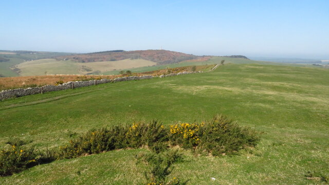
Bronkham Hill, located in Dorset, England, is a prominent hill and notable landmark in the region. With an elevation of approximately 242 meters (794 feet), it offers picturesque views of the surrounding landscapes. The hill is situated within the Cranborne Chase and West Wiltshire Downs Area of Outstanding Natural Beauty, adding to its allure.
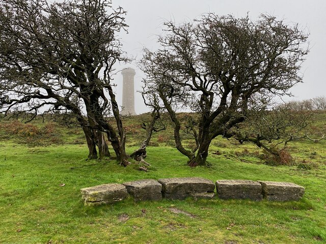
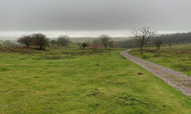
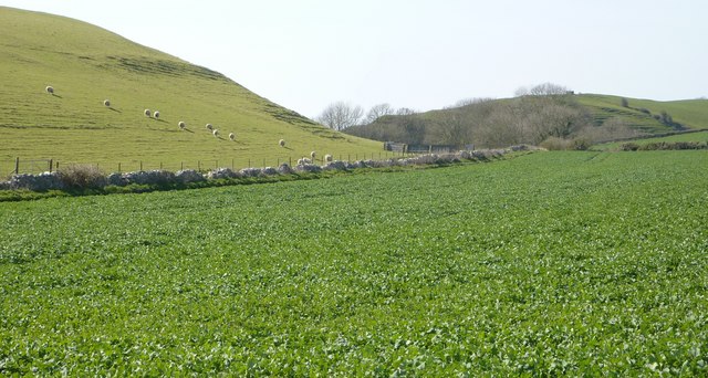
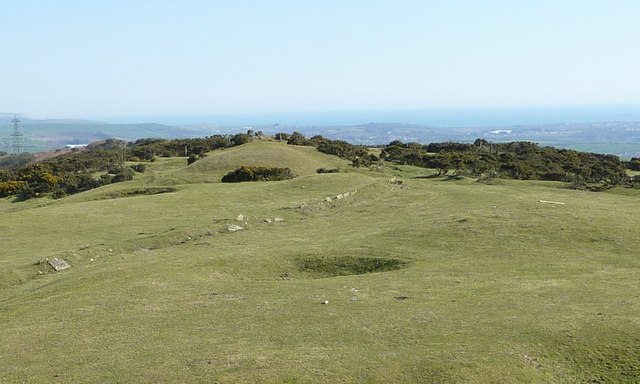
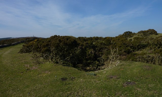
Bronkham Hill is adorned with undulating grassy slopes, interspersed with patches of woodland, creating a diverse habitat for various flora and fauna. The hill is primarily composed of chalk, which is evident from the presence of chalk grasslands that flourish on its slopes. These grasslands are home to a range of rare and protected plant species, including orchids, harebell, and cowslips.
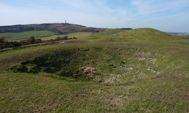
The summit of Bronkham Hill is characterized by a distinct flat area, known as the hillfort, which is believed to date back to the Iron Age. This archaeological site is enclosed by an ancient earthwork, and its purpose is thought to have been defensive. The hillfort offers visitors a glimpse into the region's rich history and provides an ideal spot for recreational activities such as picnics and leisurely walks.
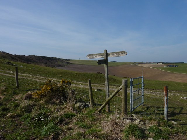
Accessible footpaths and trails traverse Bronkham Hill, allowing visitors to explore its natural beauty and enjoy panoramic views of the surrounding countryside. The hill is a popular destination for hikers, nature enthusiasts, and photographers, who are drawn to its tranquil ambiance and breathtaking vistas.
Overall, Bronkham Hill in Dorset offers a captivating blend of natural beauty, historical significance, and recreational opportunities, making it a cherished destination for both locals and tourists alike.
If you have any feedback on the listing, please let us know in the comments section below.
Bronkham Hill Images
Images are sourced within 2km of 50.680325/-2.530148 or Grid Reference SY6286. Thanks to Geograph Open Source API. All images are credited.


Bronkham Hill is located at Grid Ref: SY6286 (Lat: 50.680325, Lng: -2.530148)
Unitary Authority: Dorset
Police Authority: Dorset
What 3 Words
///roaming.gashes.resources. Near Chickerell, Dorset
Nearby Locations
Related Wikis

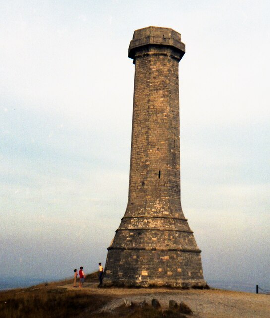
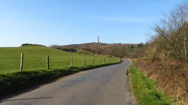
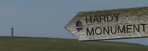
Hardy Monument
The Hardy Monument (sometimes referred to as Hardy's Monument) is a 72-foot-high (22 m) monument on the summit of Black Down in Dorset, erected in 1844...

Black Down, Dorset
Black Down is a hill on the South Dorset Ridgeway about 2 kilometres north-northeast of the village of Portesham in the county of Dorset, England and around...

St Bartholomew's Chapel, Corton
St Bartholomew's Chapel is a Church of England chapel in Corton, near Weymouth, Dorset, England. The chapel has early 13th century origins, with later...

Corton Cutting
Corton Cutting (grid reference SY637855) is a 0.24 hectare geological Site of Special Scientific Interest in Dorset, England, notified in 1997. The site...
Nearby Amenities
Located within 500m of 50.680325,-2.530148Have you been to Bronkham Hill?
Leave your review of Bronkham Hill below (or comments, questions and feedback).