Clarke's Pool
Lake, Pool, Pond, Freshwater Marsh in Somerset Mendip
England
Clarke's Pool
Clarke's Pool, Somerset, is a picturesque body of water located in the southwest of England, specifically in the county of Somerset. Nestled within the beautiful English countryside, this natural attraction offers visitors a tranquil and scenic experience.
Clarke's Pool is classified as a freshwater marsh, boasting a diverse ecosystem that supports a wide range of plant and animal species. The pool itself is a relatively small body of water, resembling a large pond or a small lake. It is surrounded by lush greenery, including reeds, rushes, and various water plants that thrive in the marshy environment.
The pool is home to various aquatic wildlife, including several species of fish, amphibians, and waterfowl. Visitors can often spot ducks, swans, and even herons gracefully navigating the waters or resting on its banks. Additionally, the marsh provides a habitat for numerous insects and invertebrates, contributing to the overall biodiversity of the area.
With its serene ambiance and natural beauty, Clarke's Pool offers a peaceful retreat for nature enthusiasts, birdwatchers, and those seeking a tranquil escape from the hustle and bustle of everyday life. The area surrounding the pool is ideal for leisurely walks, picnics, or simply taking in the scenery.
Located in the heart of Somerset, Clarke's Pool is easily accessible to both locals and tourists alike. It is a destination that provides an opportunity to immerse oneself in the wonders of nature, offering a glimpse into the diverse ecosystems that exist within the county.
If you have any feedback on the listing, please let us know in the comments section below.
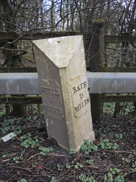
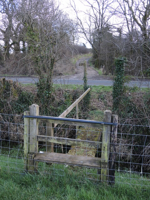
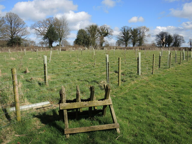
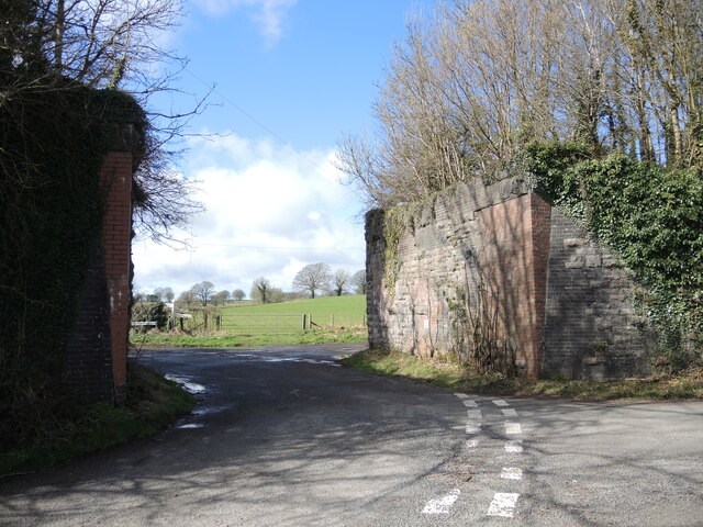
Clarke's Pool Images
Images are sourced within 2km of 51.2456/-2.5428704 or Grid Reference ST6249. Thanks to Geograph Open Source API. All images are credited.


Clarke's Pool is located at Grid Ref: ST6249 (Lat: 51.2456, Lng: -2.5428704)
Administrative County: Somerset
District: Mendip
Police Authority: Avon and Somerset
What 3 Words
///renews.universes.perfect. Near Chilcompton, Somerset
Nearby Locations
Related Wikis

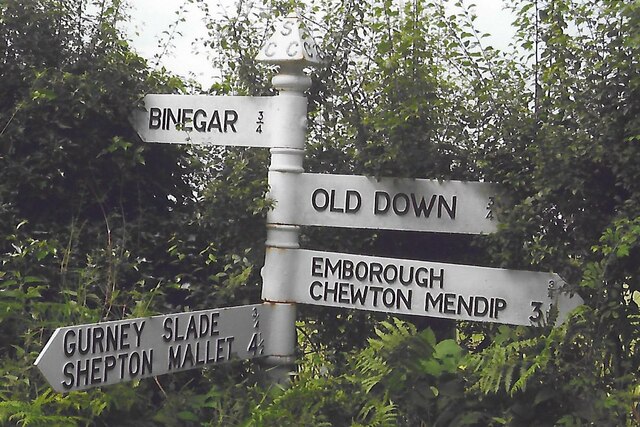
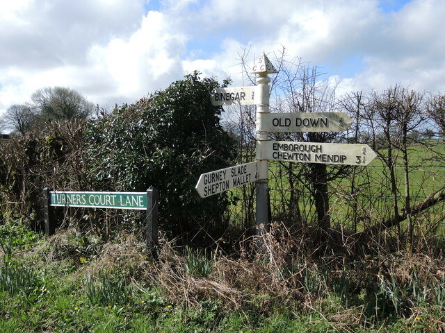
Gurney Slade quarry
Gurney Slade quarry, grid reference ST626497 is a limestone quarry near Gurney Slade between Binegar and Holcombe, on the Mendip Hills, Somerset, England...

Binegar
Binegar is a small village and civil parish in Somerset, England. It is located on the A37, 4 miles (6.4 km) east of Wells, between Shepton Mallet and...
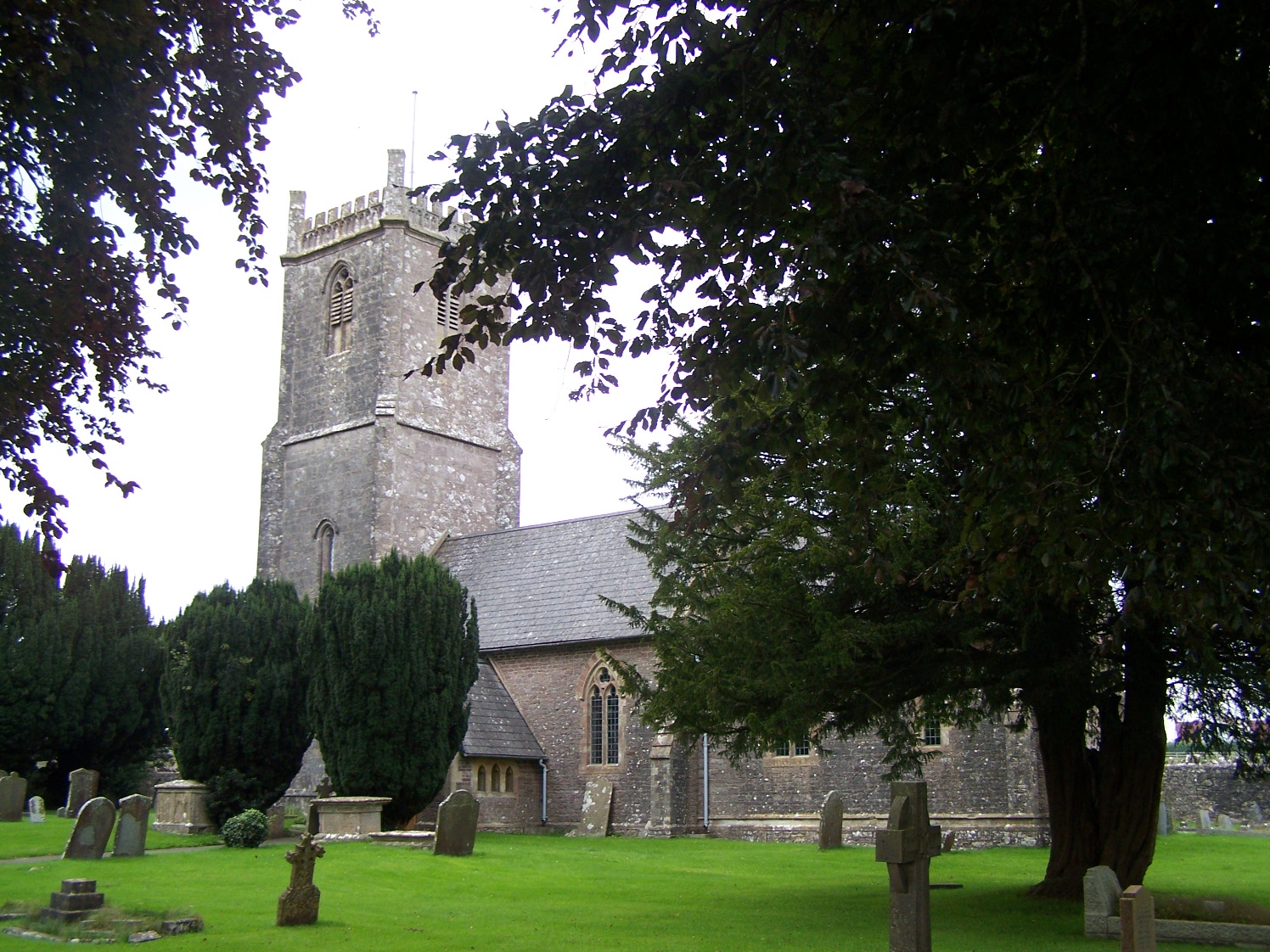
Church of the Holy Trinity, Binegar
The Anglican Church of the Holy Trinity, Binegar, Somerset, England is Norman but has been rebuilt and restored several times since. It is a Grade II*...

Emborough Quarries
Emborough Quarries (grid reference ST623505) is a 1 hectare (2.5 acre) geological Site of Special Scientific Interest at Emborough in the Mendip Hills...

Binegar railway station
Binegar railway station was a station on the Somerset and Dorset Joint Railway in the county of Somerset in England. Opened on 20 July 1874, the station...
Blacker's Hill
Blacker's Hill is an Iron Age hill fort at Chilcompton, 4.5 kilometres (3 mi) south west of Radstock, Somerset, England. It has been designated as a Scheduled...

Church of the Blessed Virgin Mary, Emborough
The Church of the Blessed Virgin Mary in Emborough, Somerset, England is medieval in origin but underwent extensive renovation in the 18th century. It...
Emborough
Emborough is a village and civil parish 5 miles (8.0 km) north of Shepton Mallet, and 5 miles (8.0 km) north east of Wells, in the Mendip district of Somerset...
Nearby Amenities
Located within 500m of 51.2456,-2.5428704Have you been to Clarke's Pool?
Leave your review of Clarke's Pool below (or comments, questions and feedback).