Aldermaston Soke
Settlement in Hampshire
England
Aldermaston Soke
Aldermaston Soke is a small village located in the county of Hampshire, England. Situated in the south-central part of the country, it is nestled in the beautiful countryside of the North Wessex Downs Area of Outstanding Natural Beauty. The village is part of the Basingstoke and Deane district and lies approximately 9 miles southwest of the town of Reading.
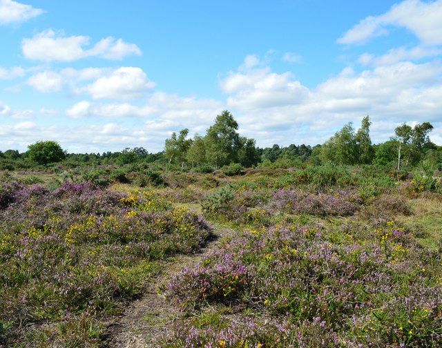
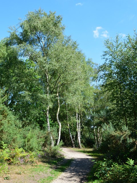
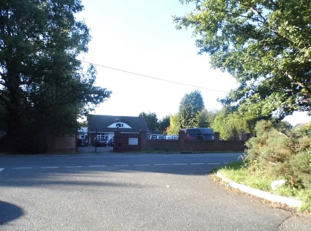
With a population of around 500 residents, Aldermaston Soke maintains a close-knit and friendly community atmosphere. The village is predominantly residential, with a mix of traditional thatched cottages and modern houses. The surrounding area is characterized by lush green fields, charming woodlands, and picturesque countryside views, which make it an idyllic location for nature lovers and outdoor enthusiasts.
Aldermaston Soke boasts a rich history, with evidence of human settlement dating back to Roman times. The village is perhaps best known for its proximity to Aldermaston Court, a historic manor house that dates back to the 16th century. The manor is a Grade I listed building and is renowned for its stunning architecture and beautiful gardens.
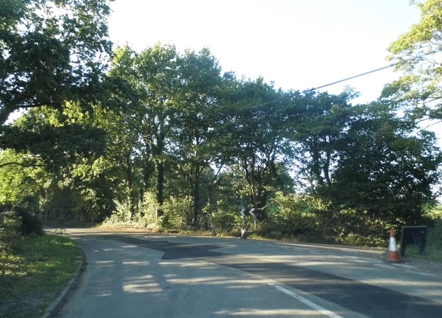
While Aldermaston Soke is primarily a residential area, it benefits from its close proximity to nearby towns such as Reading and Basingstoke. This provides residents with access to a wide range of amenities, including shopping centers, restaurants, and recreational facilities. The village also benefits from excellent transportation links, with easy access to major road networks and nearby train stations.
Overall, Aldermaston Soke is a peaceful and picturesque village that offers a tranquil rural lifestyle while still being conveniently located near larger towns and cities.
If you have any feedback on the listing, please let us know in the comments section below.
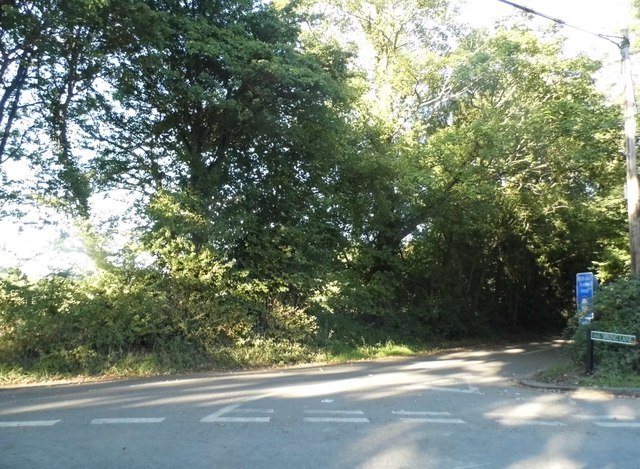
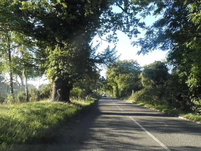
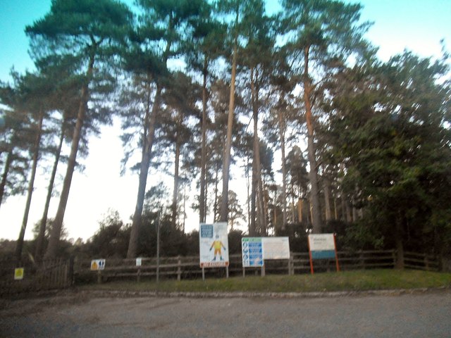
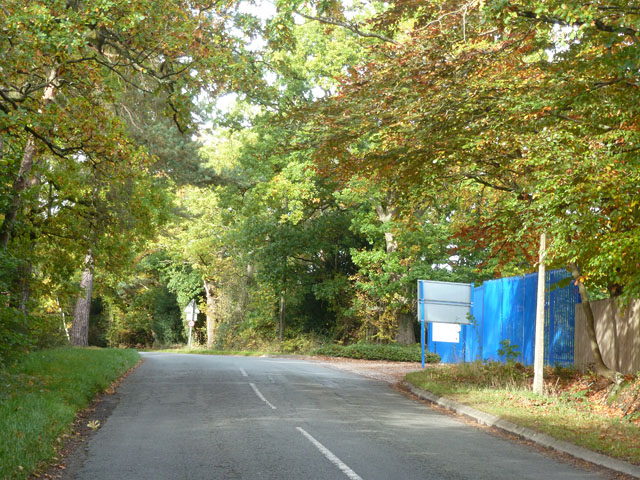
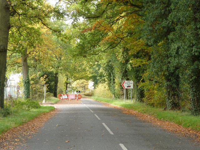
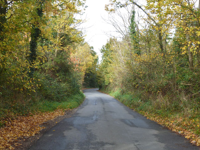
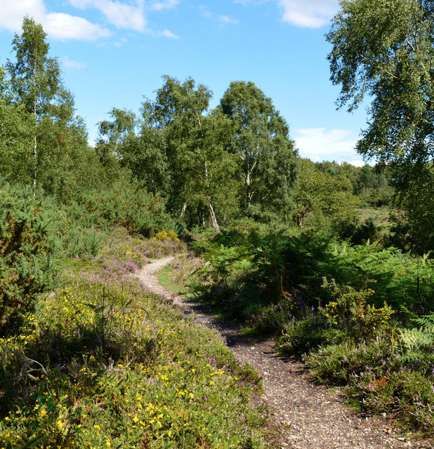
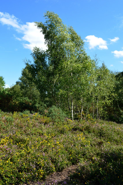
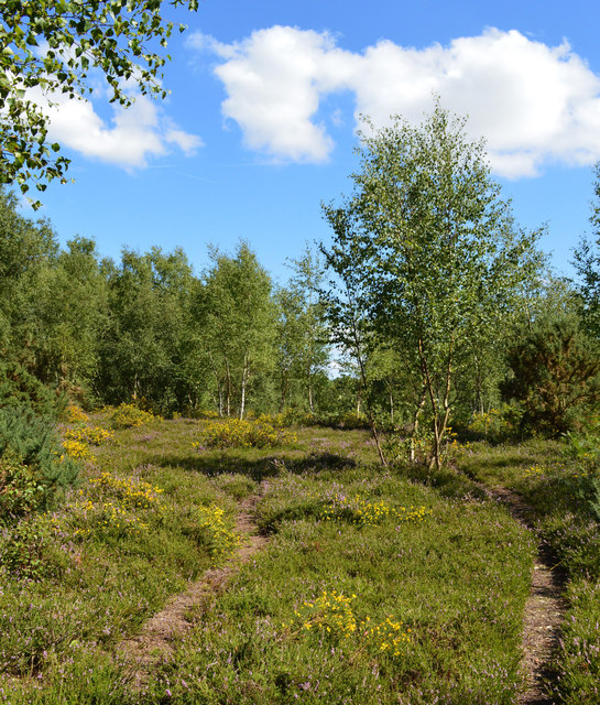
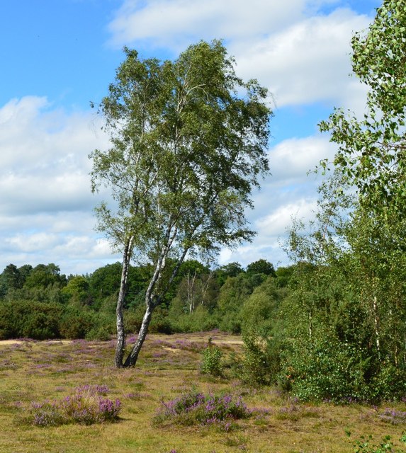
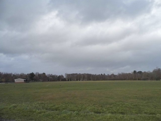
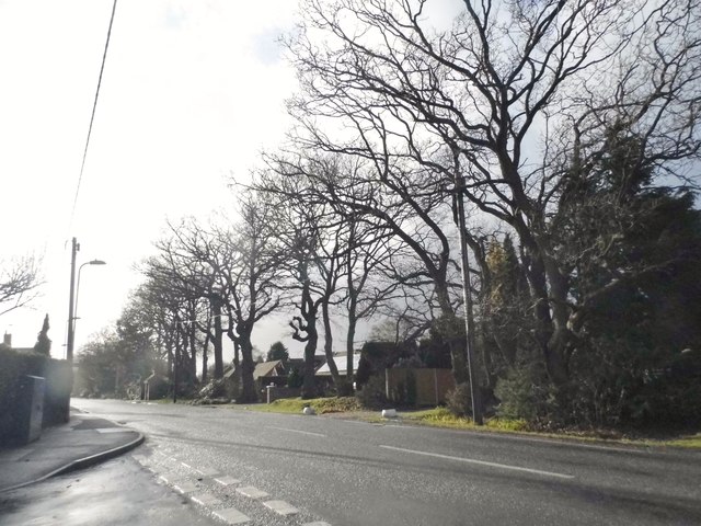
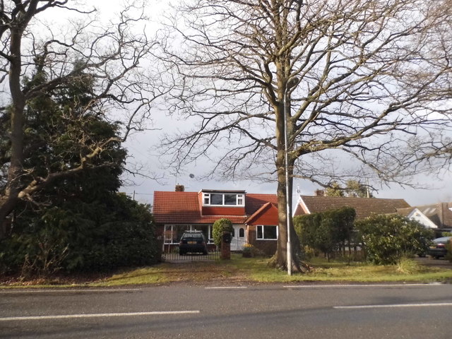
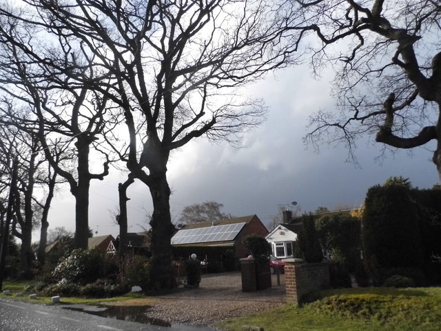
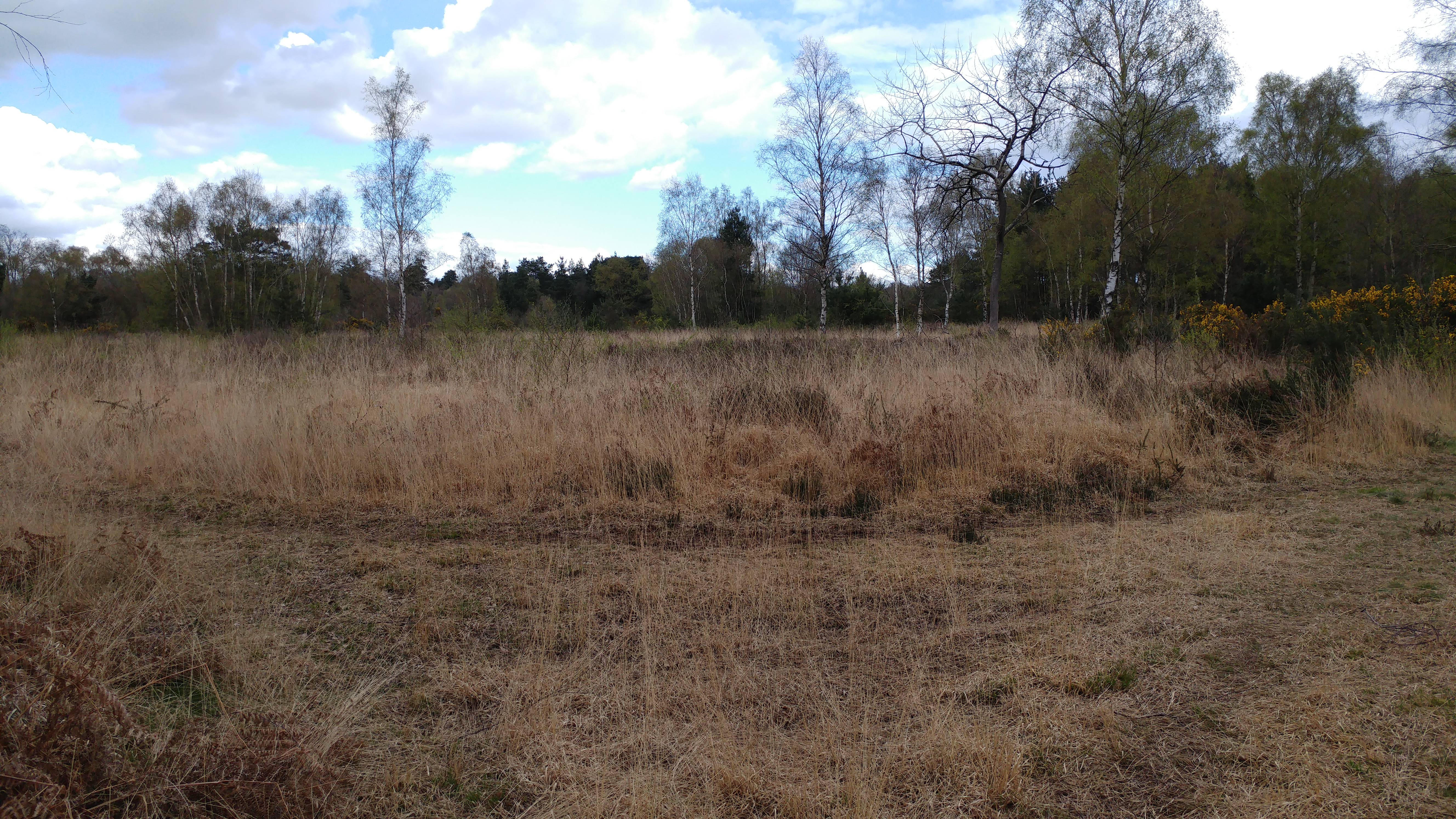
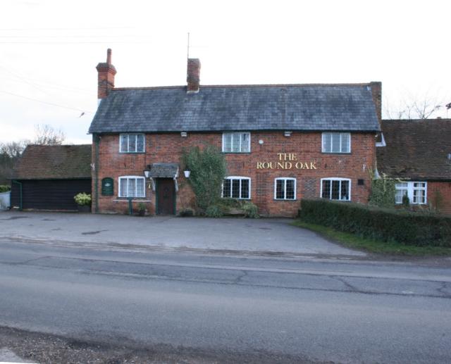
Aldermaston Soke Images
Images are sourced within 2km of 51.369888/-1.1207733 or Grid Reference SU6163. Thanks to Geograph Open Source API. All images are credited.
Aldermaston Soke is located at Grid Ref: SU6163 (Lat: 51.369888, Lng: -1.1207733)
Unitary Authority: West Berkshire
Police Authority: Thames Valley
What 3 Words
///approve.catapult.ideals. Near Tadley, Hampshire
Nearby Locations
Related Wikis

Decoy Pit, Pools and Woods
Decoy Pit, Pools and Woods is a 17.7-hectare (44-acre) biological Site of Special Scientific Interest south of Aldermaston in Berkshire. An area of 8 hectares...

Aldermaston Soke
Aldermaston Soke is a hamlet that lies on the county boundary between Berkshire and Hampshire, and is administratively part of the civil parish of Mortimer...
Padworth Common Local Nature Reserve
Padworth Common Local Nature Reserve is a 28-hectare (69-acre) Local Nature Reserve on the edge of the hamlet of Padworth Common, between Reading and...

Pamber Heath
Pamber Heath is a village in north Hampshire, England. Situated within the civil parish of Pamber, the village lies at the north end of Pamber Forest...
Padworth Common
Padworth Common is a hamlet and common in the English county of Berkshire, within the civil parish of Padworth. It is bounded by Burghfield to the east...
Sceptre (fusion reactor)
Sceptre was a series of early fusion power devices based on the Z-pinch concept of plasma confinement, built in the UK starting in 1956. They were the...

Atomic Weapons Establishment
The Atomic Weapons Establishment (AWE) is a United Kingdom Ministry of Defence research facility responsible for the design, manufacture and support of...

The Frith
The Frith is a small univallate Iron Age hillfort to the north of Silchester, Calleva Atrebatum, Roman town in the English county of Hampshire. A single...
Nearby Amenities
Located within 500m of 51.369888,-1.1207733Have you been to Aldermaston Soke?
Leave your review of Aldermaston Soke below (or comments, questions and feedback).