Best Gully
Valley in Berkshire
England
Best Gully
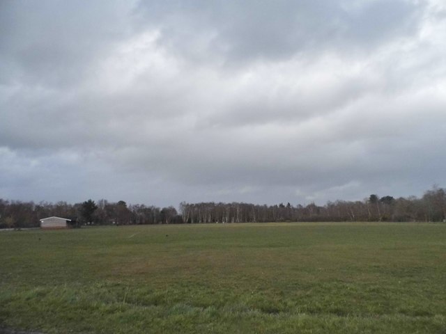
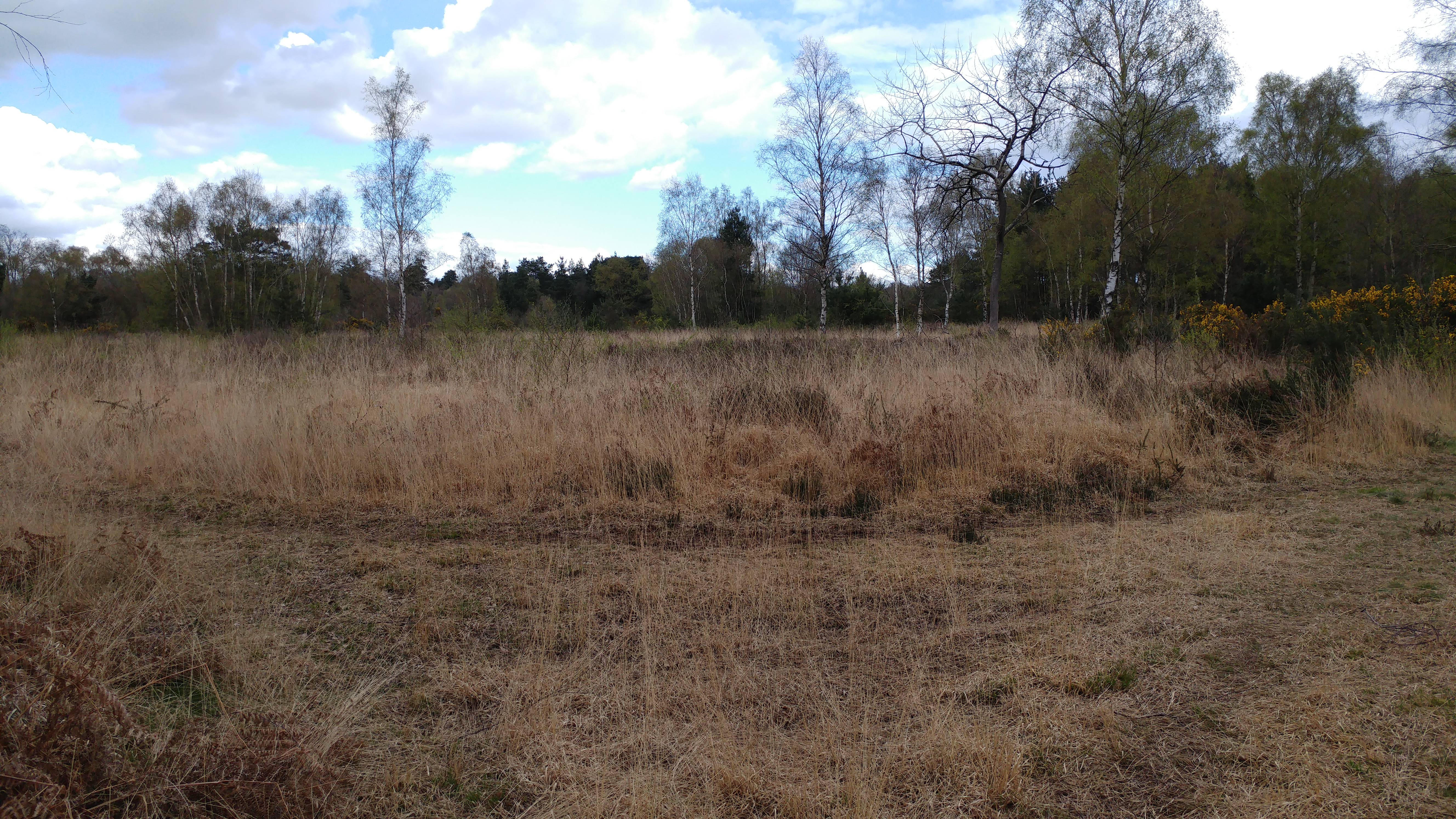
Best Gully, Berkshire, also known as Best Valley, is a picturesque area located in the county of Berkshire in southern England. Situated near the town of Newbury, this charming valley is surrounded by rolling hills and lush green landscapes.
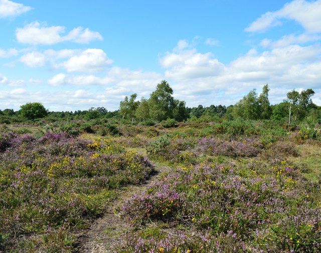
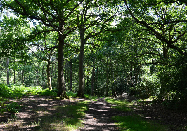
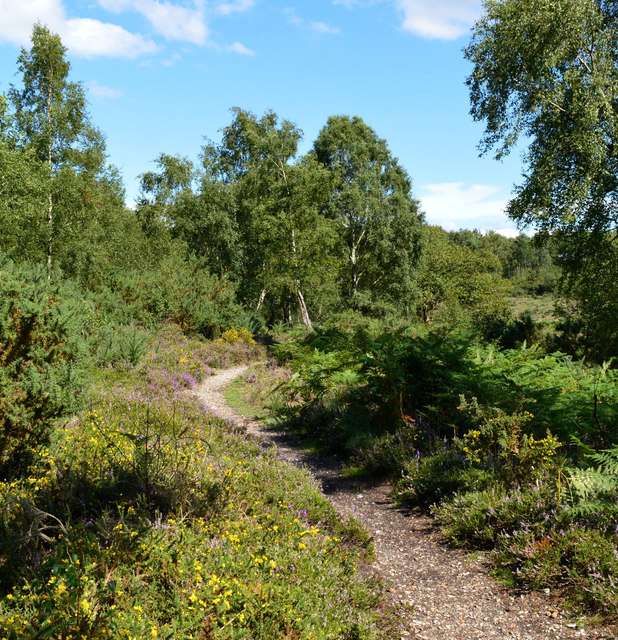
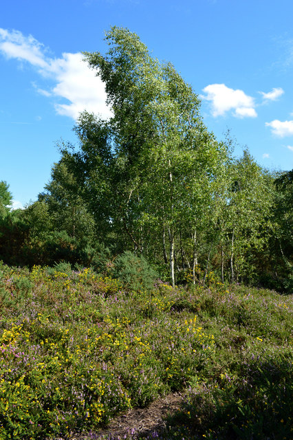
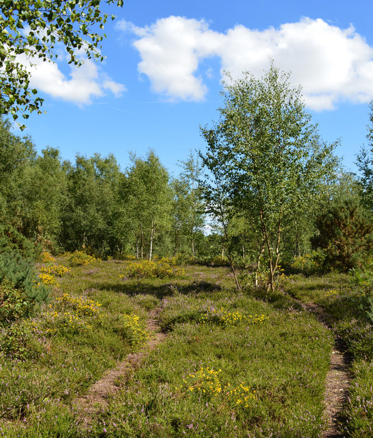
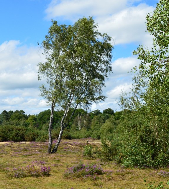
Best Gully is renowned for its natural beauty and tranquil atmosphere, making it a popular destination for nature lovers and outdoor enthusiasts. The valley is home to a variety of wildlife, including birds, small mammals, and insects, making it an ideal spot for birdwatching and wildlife photography.
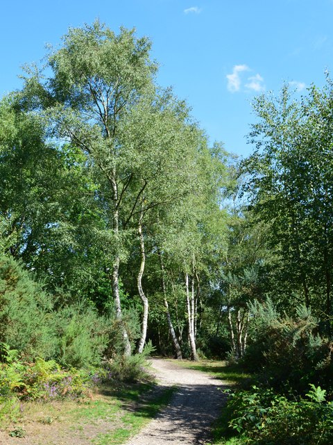
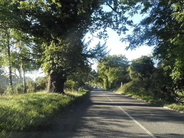
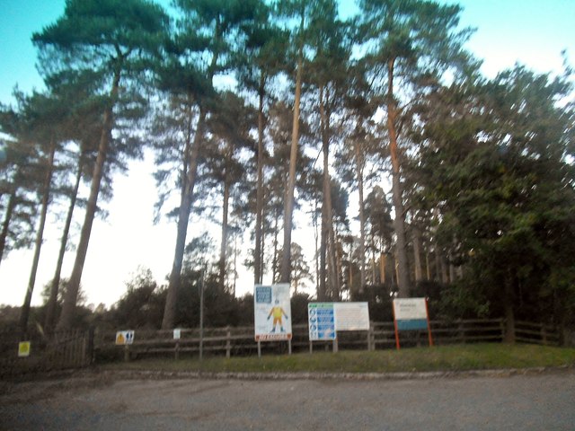
The area offers a plethora of walking and hiking trails that cater to all fitness levels, allowing visitors to explore the valley's stunning surroundings. As they wander through the valley, visitors can enjoy breathtaking views of the meandering river that flows through the heart of Best Gully, adding to its idyllic charm.
Best Gully is also known for its historical significance, with several ancient landmarks scattered throughout the valley. These include remnants of old settlements, ancient burial mounds, and even traces of Roman occupation, providing a glimpse into the rich history of the region.
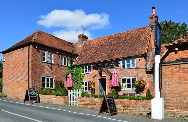
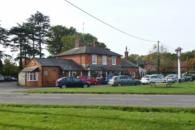
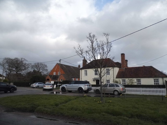
Furthermore, the valley is conveniently located near the town of Newbury, offering easy access to amenities such as shops, restaurants, and accommodation. This makes Best Gully an excellent base for those looking to explore the wider Berkshire area.
In conclusion, Best Gully, Berkshire, is a hidden gem that offers a perfect blend of natural beauty, historical significance, and convenient amenities. Whether visitors are seeking a peaceful retreat or an opportunity to explore the great outdoors, Best Gully provides a captivating experience for all.
If you have any feedback on the listing, please let us know in the comments section below.
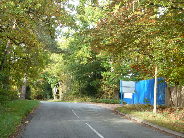
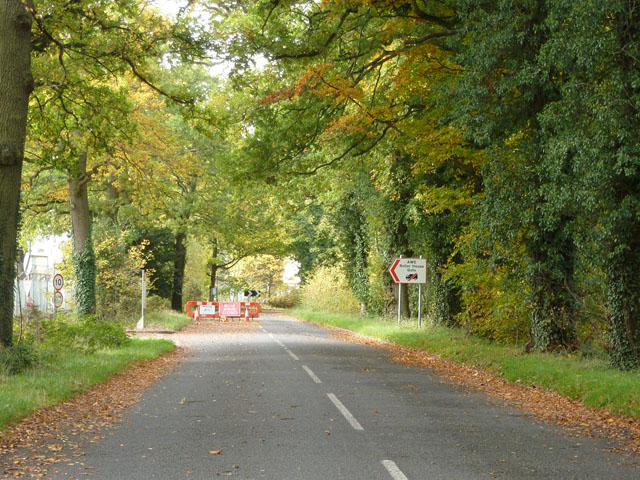
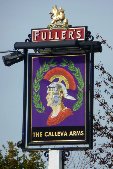
Best Gully Images
Images are sourced within 2km of 51.364294/-1.1181656 or Grid Reference SU6163. Thanks to Geograph Open Source API. All images are credited.

Best Gully is located at Grid Ref: SU6163 (Lat: 51.364294, Lng: -1.1181656)
Unitary Authority: West Berkshire
Police Authority: Thames Valley
What 3 Words
///dolly.armful.lectures. Near Tadley, Hampshire
Nearby Locations
Related Wikis

Aldermaston Soke
Aldermaston Soke is a hamlet that lies on the county boundary between Berkshire and Hampshire, and is administratively part of the civil parish of Mortimer...

Decoy Pit, Pools and Woods
Decoy Pit, Pools and Woods is a 17.7-hectare (44-acre) biological Site of Special Scientific Interest south of Aldermaston in Berkshire. An area of 8 hectares...

Pamber Heath
Pamber Heath is a village in north Hampshire, England. Situated within the civil parish of Pamber, the village lies at the north end of Pamber Forest...

The Frith
The Frith is a small univallate Iron Age hillfort to the north of Silchester, Calleva Atrebatum, Roman town in the English county of Hampshire. A single...
Tadley Calleva F.C.
Tadley Calleva Football Club are a football club based in Tadley, Hampshire, England. The club is affiliated to the Hampshire Football Association. The...
Padworth Common Local Nature Reserve
Padworth Common Local Nature Reserve is a 28-hectare (69-acre) Local Nature Reserve on the edge of the hamlet of Padworth Common, between Reading and...
Orion (laser)
The Orion Laser Facility (also known as the Orion Laser) is a high power laser facility based at the Atomic Weapons Establishment (AWE) on the former RAF...
Sceptre (fusion reactor)
Sceptre was a series of early fusion power devices based on the Z-pinch concept of plasma confinement, built in the UK starting in 1956. They were the...
Nearby Amenities
Located within 500m of 51.364294,-1.1181656Have you been to Best Gully?
Leave your review of Best Gully below (or comments, questions and feedback).