Aldermaston
Settlement in Berkshire
England
Aldermaston
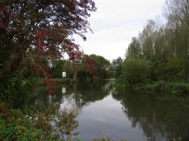
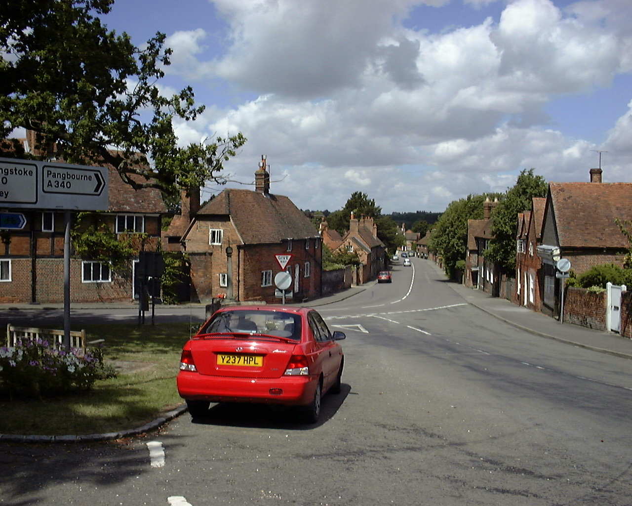
Aldermaston is a village located in the county of Berkshire, England. Situated approximately 46 miles west of London, it is part of the West Berkshire district. The village is nestled between the towns of Reading and Newbury, and straddles the River Kennet.
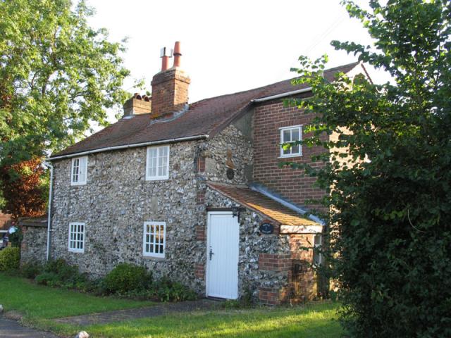
Aldermaston is renowned for its historical significance, with evidence of settlement dating back to the Iron Age. Its name originates from the Old English words "aldær" meaning "elder tree" and "mæstun" meaning "farmstead." The village is home to the Grade I listed Aldermaston Court, a mansion dating back to the 17th century, which has served as a residence for notable figures throughout history.
One of the village's most notable features is the Atomic Weapons Establishment (AWE), situated on the outskirts of Aldermaston. This facility has played a crucial role in the development of the United Kingdom's nuclear weapons program since the 1950s. AWE Aldermaston remains an active site for research, design, and manufacturing related to nuclear weapons.
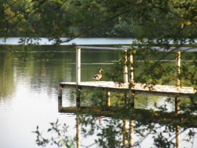
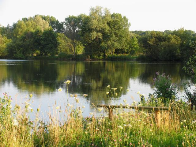
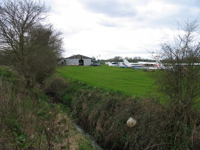
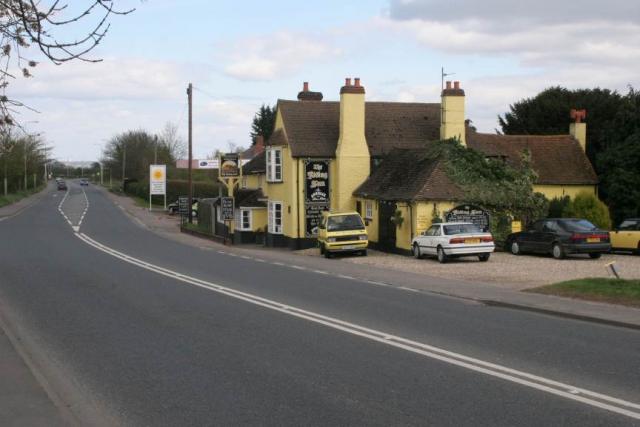
Aldermaston also boasts a vibrant community, with amenities such as a primary school, a village hall, a library, and several pubs. The village is surrounded by picturesque countryside, offering opportunities for outdoor activities such as walking, cycling, and fishing.
Overall, Aldermaston is a historically significant village with a mix of residential and industrial areas. Its rich history, coupled with its proximity to major towns and beautiful countryside, make it an attractive place to live and visit.
If you have any feedback on the listing, please let us know in the comments section below.
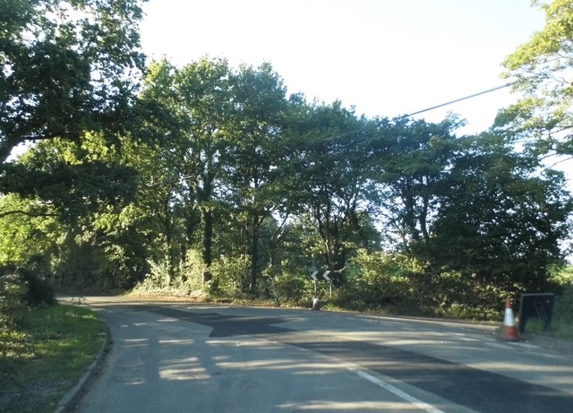
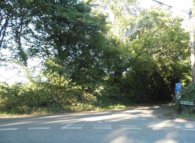
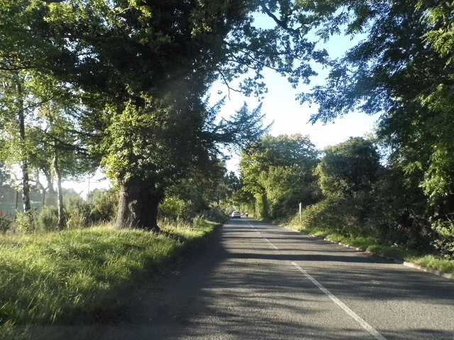
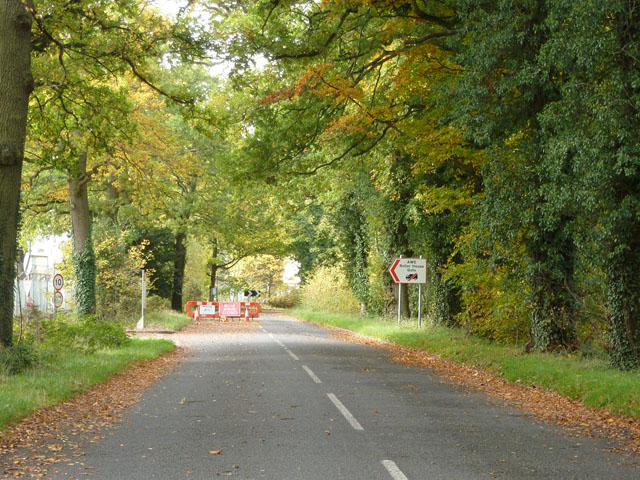
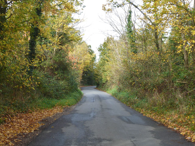
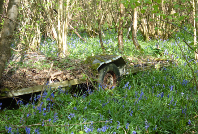
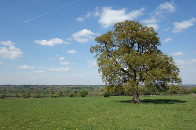
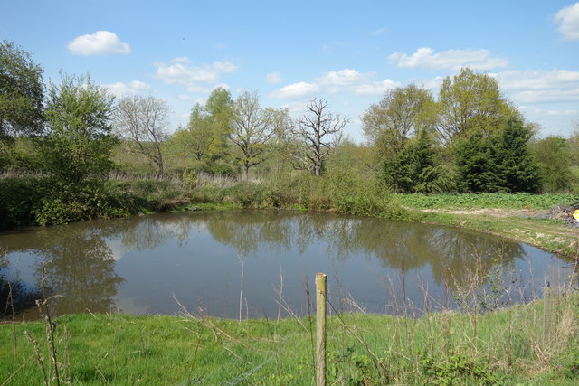
Aldermaston Images
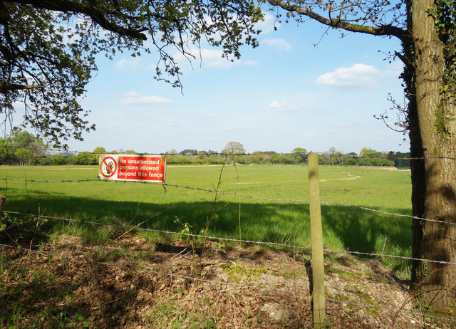
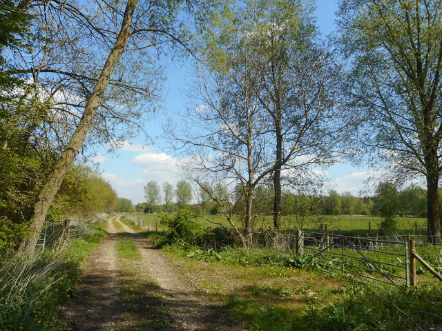
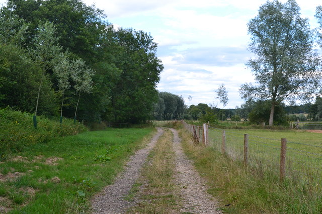
Images are sourced within 2km of 51.381832/-1.151683 or Grid Reference SU5965. Thanks to Geograph Open Source API. All images are credited.
Aldermaston is located at Grid Ref: SU5965 (Lat: 51.381832, Lng: -1.151683)
Unitary Authority: West Berkshire
Police Authority: Thames Valley
What 3 Words
///ecologist.unafraid.quit. Near Tadley, Hampshire
Nearby Locations
Related Wikis
Aldermaston
Aldermaston is a village and civil parish in Berkshire, England. In the 2011 census, the parish had a population of 1,015. The village is in the Kennet...

MERLIN reactor
MERLIN reactor was a 10MWt pool-type research reactor at Aldermaston Court, Aldermaston, Berkshire, England which operated from 6 November 1959 until 1962...
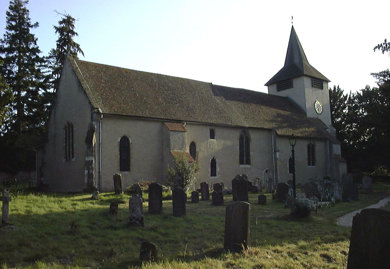
Church of St Mary the Virgin, Aldermaston
The Church of St Mary the Virgin, Aldermaston, is the Church of England parish church of Aldermaston in Berkshire. The church, which is dedicated to St...

Aldermaston Court
Aldermaston Court is a country house and private park built in the Victorian era for Daniel Higford Davall Burr with incorporations from a Stuart house...
Nearby Amenities
Located within 500m of 51.381832,-1.151683Have you been to Aldermaston?
Leave your review of Aldermaston below (or comments, questions and feedback).