Alderman's Green
Settlement in Warwickshire
England
Alderman's Green

Alderman's Green is a small village located in the county of Warwickshire, England. Situated approximately 6 miles northeast of the city of Coventry, it falls within the city boundaries and is part of the Coventry City Council area. The village is surrounded by a mix of rural landscapes and urban developments, creating a unique blend of countryside charm and convenient amenities.
Historically, Alderman's Green was predominantly an agricultural area, with farms and fields dominating the landscape. However, over the years, it has experienced significant residential development, resulting in a growing population and the establishment of several housing estates. Despite this growth, the village has managed to retain its close-knit community feel.
Alderman's Green benefits from excellent transport links, with easy access to major roads such as the A444 and the M6 motorway. This makes it an ideal location for commuters working in Coventry, Birmingham, or even further afield. The village is also well-served by public transportation, with regular bus services connecting it to nearby towns and cities.
The village boasts a range of amenities, including a primary school, a community center, and a small shopping center. There are also a few local pubs and restaurants, providing residents with options for socializing and dining out. Additionally, Alderman's Green is within proximity to larger retail parks and supermarkets, ensuring that residents have easy access to a wider range of shopping options.
Overall, Alderman's Green offers a peaceful and family-friendly environment, with a good balance of rural and urban living. Its convenient location, coupled with its strong sense of community, makes it an attractive place to live for people of all ages.
If you have any feedback on the listing, please let us know in the comments section below.
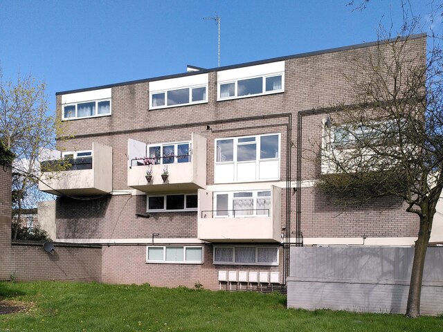
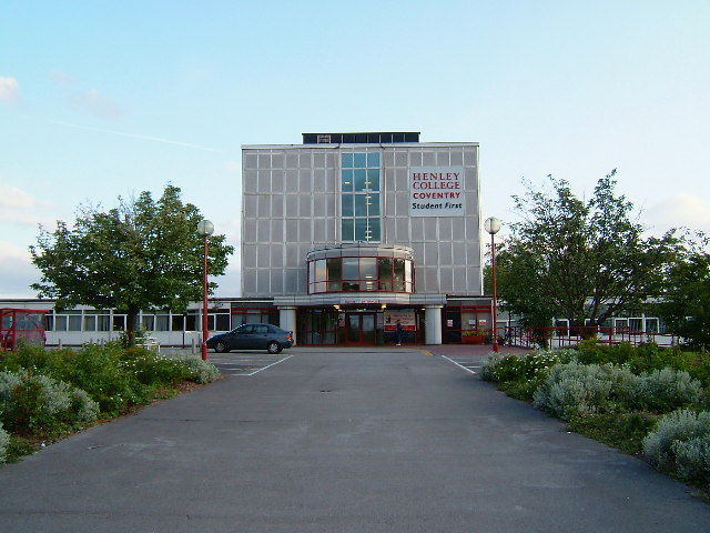
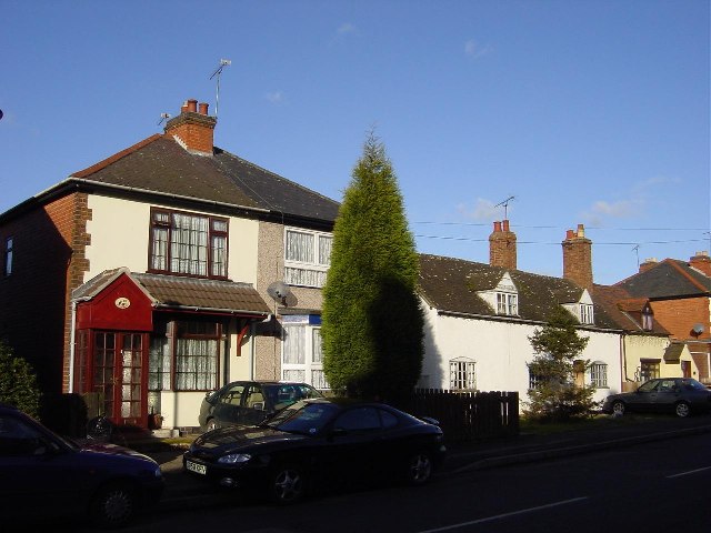
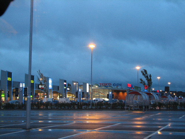
Alderman's Green Images
Images are sourced within 2km of 52.447284/-1.476901 or Grid Reference SP3583. Thanks to Geograph Open Source API. All images are credited.


Alderman's Green is located at Grid Ref: SP3583 (Lat: 52.447284, Lng: -1.476901)
Unitary Authority: Coventry
Police Authority: West Midlands
What 3 Words
///oval.glue.easy. Near Exhall, Warwickshire
Nearby Locations
Related Wikis

Foxford Community School
Foxford Community School is a coeducational secondary school and sixth form located in the Longford area of Coventry, West Midlands, England.The school...

Longford, Coventry
Longford is a ward in the north of Coventry, West Midlands, England. The population of the Ward as taken at the 2011 census was 18,538. It is covered...
Alderman's Green
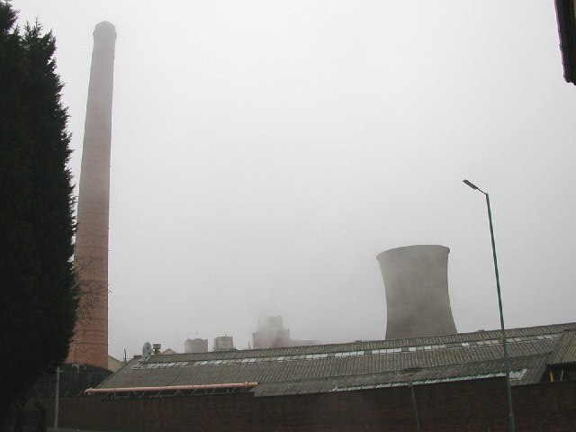
Aldermans Green is an area in the north east of Coventry, England. It is situated in between Longford and Bell Green. Prior to the expansion of Coventry...

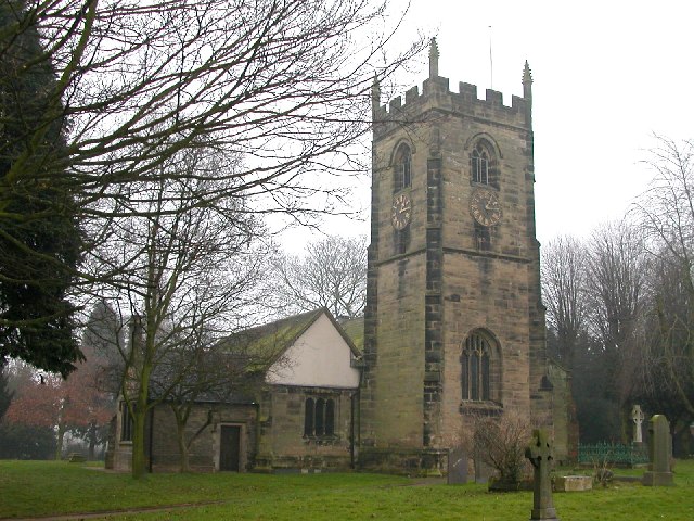
St Laurence's Church, Coventry
St Laurence's is the Church of England parish church of Foleshill, Coventry. It is a Grade II* listed building with features, including the tower, from...
Longford and Exhall railway station
Longford & Exhall was a small railway station serving the areas of Longford and Exhall, to the north of Coventry, England, on the Coventry to Nuneaton...
Little Heath, Coventry
Little Heath is an area of Coventry, in the county of West Midlands, in England. Most of the Little Heath area is in the Longford ward of the city. Little...
Arena Park Shopping Centre
Arena Park Shopping Centre is a shopping park in Coventry, England. It is located in the north of the city and adjacent to the boundary with the Nuneaton...
Wood End, Coventry
Wood End (aka Woodend) is an area in the north of the city of Coventry, England. Wood End is surrounded by the districts of Bell Green, Alderman's Green...
Nearby Amenities
Located within 500m of 52.447284,-1.476901Have you been to Alderman's Green?
Leave your review of Alderman's Green below (or comments, questions and feedback).