Aldermaston Wharf
Settlement in Berkshire
England
Aldermaston Wharf
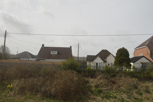
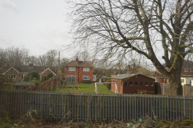
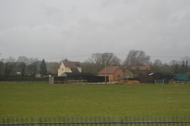
Aldermaston Wharf is a small village located in the county of Berkshire, England. Situated along the Kennet and Avon Canal, it is known for its picturesque setting and charming atmosphere. The village is situated approximately 7 miles west of the town of Reading and offers a peaceful escape from the bustling city life.
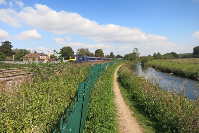
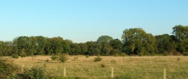
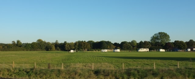
Aldermaston Wharf is renowned for its canal heritage, with the canal itself being a prominent feature of the village. The wharf serves as a popular mooring point for narrowboats, attracting boating enthusiasts and visitors alike. The surrounding areas are adorned with beautiful countryside, making it an ideal location for leisurely walks and enjoying the scenic views.
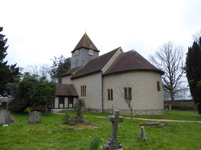
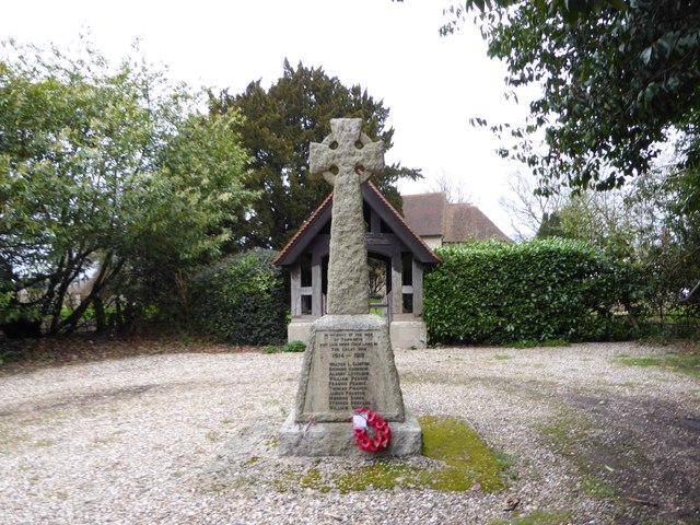
In addition to its natural beauty, Aldermaston Wharf is home to several historical landmarks. The Aldermaston Court, a Grade II listed building, is a significant architectural gem in the village. It dates back to the 17th century and showcases stunning examples of Jacobean architecture.
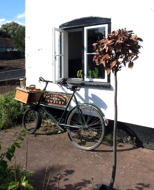
The village also boasts a small but thriving community with a range of amenities. There is a local pub, The Butt Inn, which offers a warm and friendly atmosphere for residents and visitors to enjoy. Additionally, there are a few shops and businesses that cater to the needs of the village.
Overall, Aldermaston Wharf provides a tranquil and idyllic setting for those seeking a break from city life. With its canal heritage, natural beauty, and historical landmarks, it offers a unique and charming experience for visitors to Berkshire.
If you have any feedback on the listing, please let us know in the comments section below.
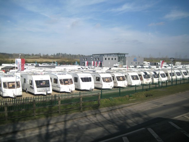
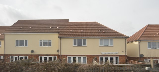
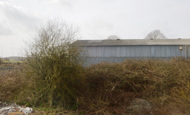
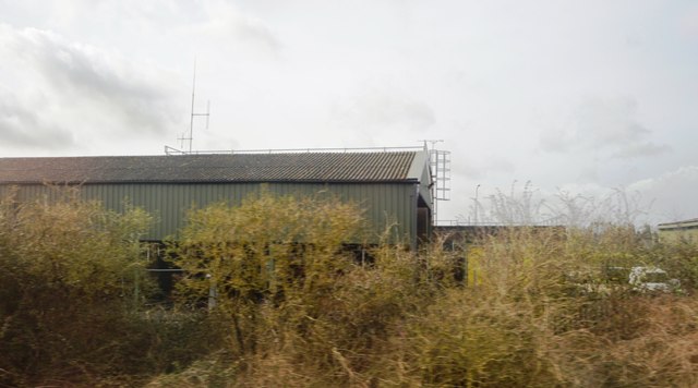
Aldermaston Wharf Images
Images are sourced within 2km of 51.401145/-1.1378848 or Grid Reference SU6067. Thanks to Geograph Open Source API. All images are credited.
Aldermaston Wharf is located at Grid Ref: SU6067 (Lat: 51.401145, Lng: -1.1378848)
Unitary Authority: West Berkshire
Police Authority: Thames Valley
What 3 Words
///bombshell.mole.agenda. Near Bradfield, Berkshire
Nearby Locations
Related Wikis

Aldermaston Lock
Aldermaston Lock is a lock on the Kennet and Avon Canal, at Aldermaston Wharf in the English county of Berkshire. It stands at the junction of the civil...

Aldermaston Brewery
The Aldermaston Brewery (later known as Strange's Brewery) was a brewery located near Aldermaston in Berkshire, UK. == History == The brewery was established...

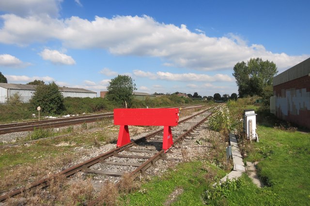
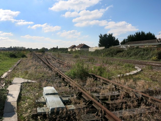
Aldermaston railway station
Aldermaston railway station serves the village of Aldermaston in Berkshire, England. The station is at nearby Aldermaston Wharf and about 2 miles (3 km...

Aldermaston Wharf
Aldermaston Wharf is a small multi-parish settlement centred 1.5 miles (2.4 km) north-northwest of Aldermaston (where according to the Post Office the...
Lower Padworth
Lower Padworth is a hamlet in Berkshire, and part of the civil parishes of Padworth, Aldermaston and Beenham. According to the Post Office at the 2011...

Padworth Lock
Padworth Lock is a lock on the Kennet and Avon Canal, at Aldermaston Wharf in the civil parish of Padworth in the English county of Berkshire. Padworth...

Aldermaston Gravel Pits
Aldermaston Gravel Pits is a 24.6-hectare (61-acre) biological Site of Special Scientific Interest north of Aldermaston in Berkshire. It was purchased...

Towney Lock
Towney Lock is a lock on the Kennet and Avon Canal, between Aldermaston Wharf and Sulhamstead, Berkshire, England. Towney Lock was built between 1718 and...
Nearby Amenities
Located within 500m of 51.401145,-1.1378848Have you been to Aldermaston Wharf?
Leave your review of Aldermaston Wharf below (or comments, questions and feedback).