Bilbrook
Civil Parish in Staffordshire South Staffordshire
England
Bilbrook
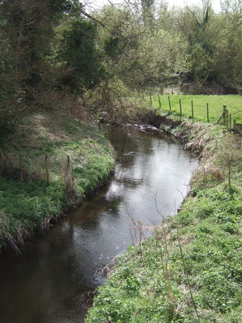
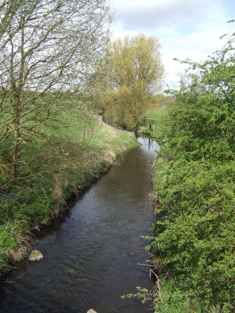
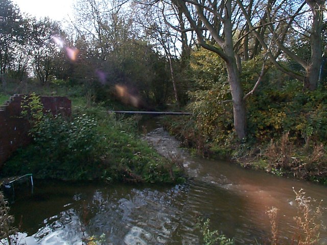
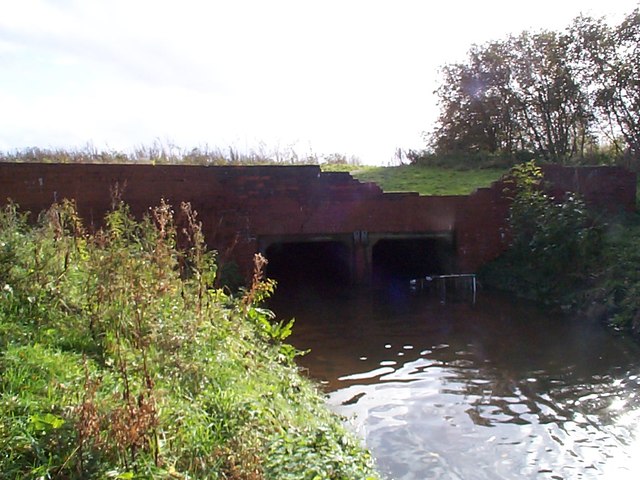
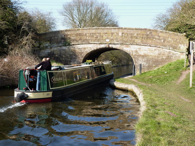
Bilbrook is a small civil parish located in Staffordshire, England. It is situated approximately 8 miles southeast of Wolverhampton and 5 miles northwest of the city of Stafford. The parish is surrounded by picturesque countryside, with the River Penk running through its southern boundary.
The village of Bilbrook itself is a charming and tight-knit community, with a population of around 2,500 residents. It is primarily a residential area, with a mix of housing styles ranging from traditional cottages to more modern developments. The village has a friendly and welcoming atmosphere, and its residents take pride in maintaining its clean and well-kept appearance.
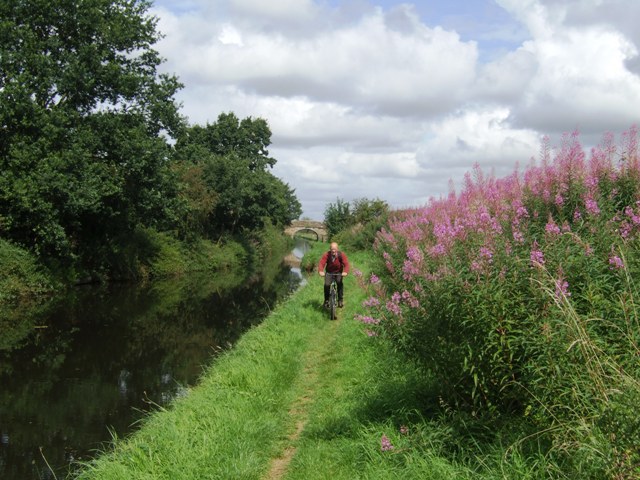
Bilbrook offers a range of amenities for its residents, including a primary school, a pub, a village hall, and a small selection of shops and businesses. There are also several parks and green spaces, providing opportunities for outdoor recreation and leisure activities.
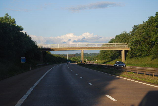
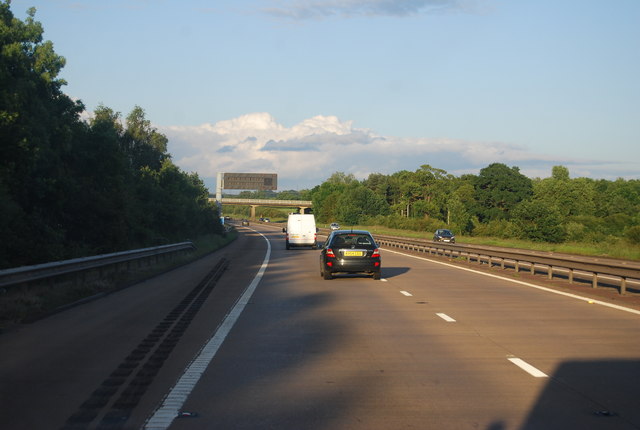
Transportation in Bilbrook is convenient, with regular bus services connecting the village to nearby towns and cities. The M54 motorway is easily accessible, providing convenient links to the wider region. The nearby train stations of Codsall and Bilbrook offer regular services to Wolverhampton, Birmingham, and beyond.
Overall, Bilbrook is a peaceful and idyllic village, offering a high quality of life for its residents. Its close-knit community and picturesque surroundings make it an attractive place to live for those seeking a quieter and more rural way of life.
If you have any feedback on the listing, please let us know in the comments section below.
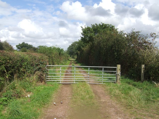
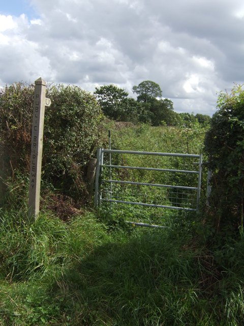
Bilbrook Images
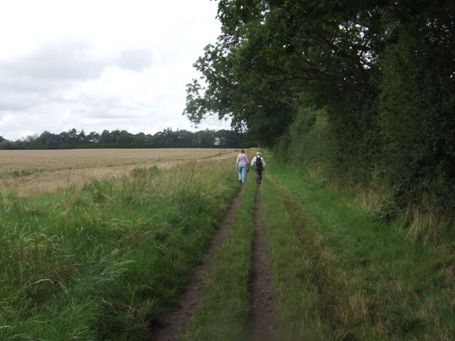
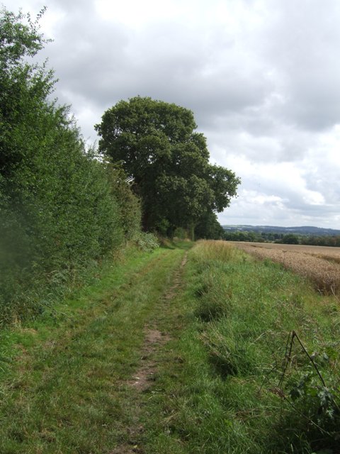
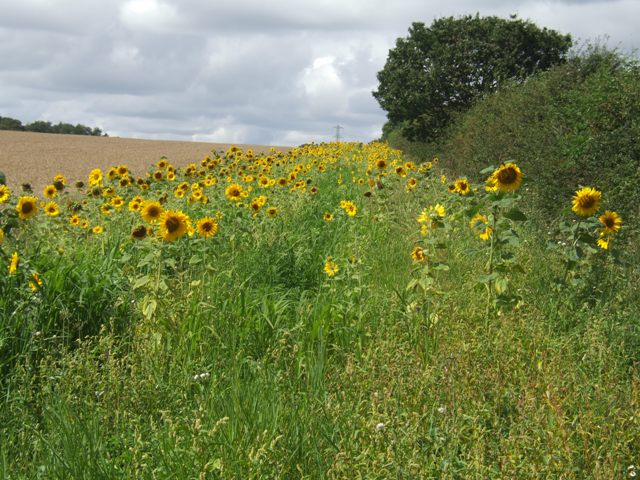
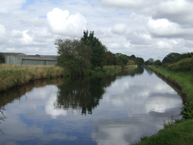
Images are sourced within 2km of 52.637715/-2.147593 or Grid Reference SJ9004. Thanks to Geograph Open Source API. All images are credited.
![Upper Hattons Farm A large extension has been built on this side of the farmhouse in the last few years <a href="https://www.geograph.org.uk/photo/515348">SJ8804 : Upper Hattons</a>]](https://s0.geograph.org.uk/geophotos/03/40/33/3403344_abbbe3e8.jpg)
Bilbrook is located at Grid Ref: SJ9004 (Lat: 52.637715, Lng: -2.147593)
Administrative County: Staffordshire
District: South Staffordshire
Police Authority: Staffordshire
What 3 Words
///march.trap.rungs. Near Coven, Staffordshire
Nearby Locations
Related Wikis
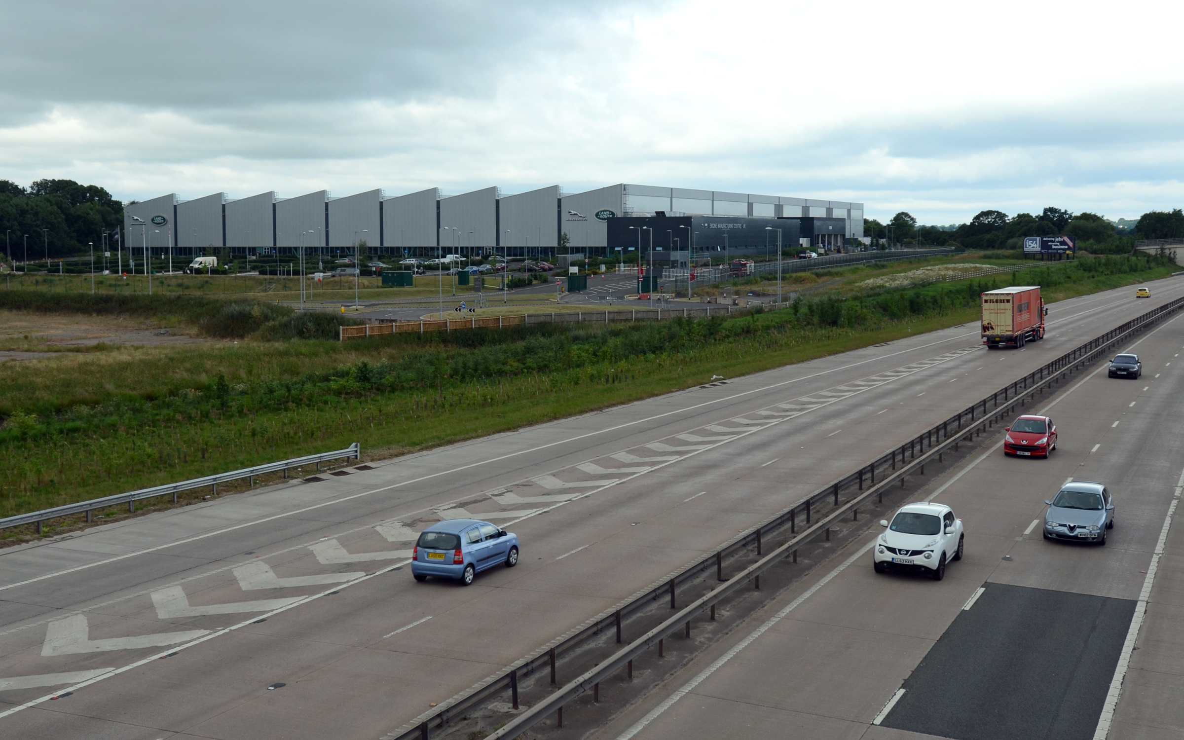
I54
i54 South Staffordshire is a 98-hectare (240-acre) UK technology-based business park located at Junction 2 on the M54 Motorway in the West Midlands, on...

Goodrich F.C.
Goodrich F.C. was a football club based in Wolverhampton, West Midlands, England. The team joined the West Midlands (Regional) League Division One North...

Coven, Staffordshire
Coven is a village in the district of South Staffordshire, England, near to the border with Wolverhampton. Together with Brewood it forms part of the...
Pendeford
Pendeford is a suburb of Wolverhampton, West Midlands, England. Historically part of Staffordshire, it is situated north-north-west of the city centre...

Fordhouses
Fordhouses is a suburb of Wolverhampton, West Midlands, England. It is situated to the north of the city centre, adjacent to the border with Staffordshire...
Wolverhampton Casuals F.C.
Wolverhampton Casuals Football Club are a football club based in Featherstone, near Wolverhampton, England. Established in 1899, they are currently members...

Ormiston NEW Academy
Ormiston NEW Academy (formerly North East Wolverhampton Academy) is a mixed secondary school and sixth form located in the Fordhouses area of Wolverhampton...
Bilbrook, Staffordshire
Bilbrook is a village in the South Staffordshire district of Staffordshire, England. It is situated close to the border of the West Midlands, just outside...
Nearby Amenities
Located within 500m of 52.637715,-2.147593Have you been to Bilbrook?
Leave your review of Bilbrook below (or comments, questions and feedback).