Coven Coppice

Wood, Forest in Staffordshire South Staffordshire

England

Coven Coppice

River Penk - upstream at Pendeford Hall Lane
River Penk - upstream at Pendeford Hall Lane Credit: John M

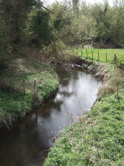
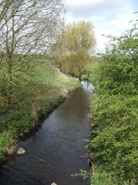
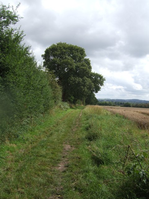
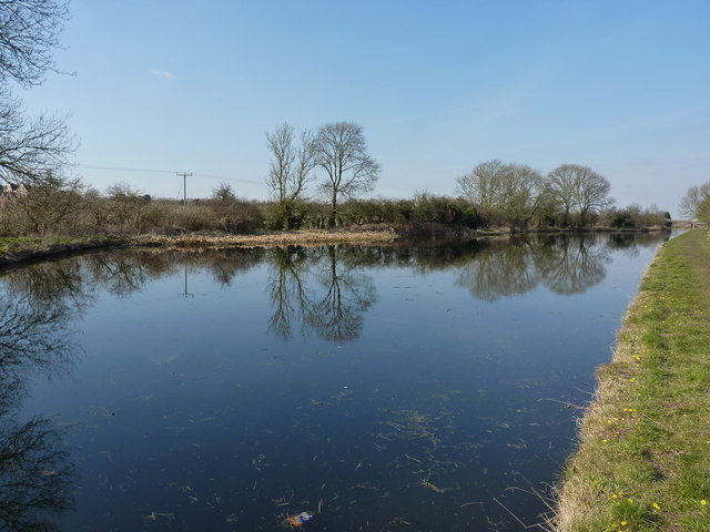
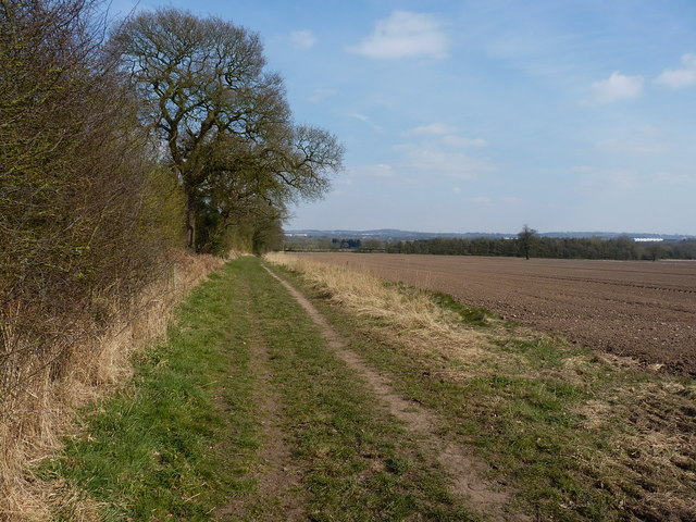
Coven Coppice is a tranquil woodland located in Staffordshire, England. Covering an area of approximately 50 acres, it is a haven of natural beauty and diverse wildlife. The coppice is situated a few miles southwest of the town of Penkridge, and is easily accessible by foot or car.

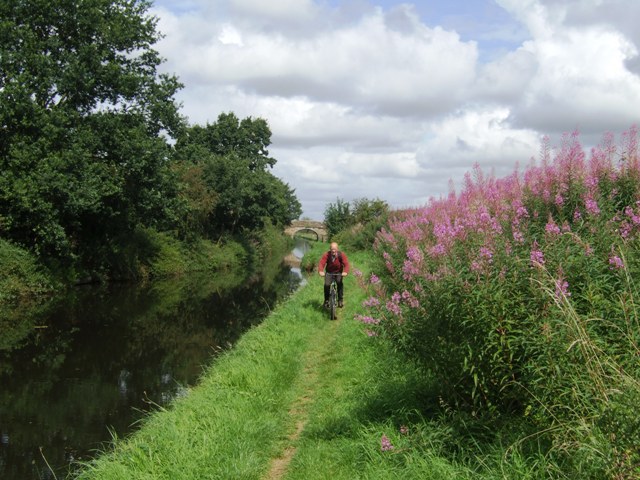
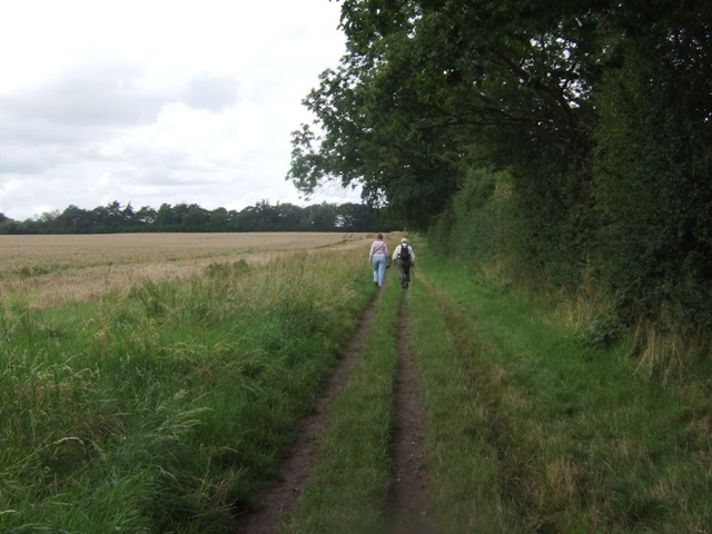
The woodland is predominantly composed of broadleaf trees such as oak, beech, and birch, creating a rich tapestry of colors throughout the seasons. The thick canopy provides shade and shelter for a wide variety of flora and fauna, including bluebells, foxgloves, and ferns. Visitors can enjoy peaceful walks along the well-maintained footpaths that wind through the woodland, immersing themselves in the sights and sounds of nature.

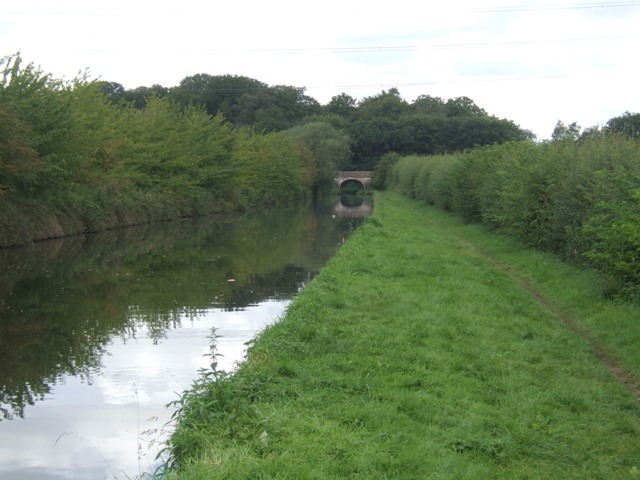
Coven Coppice also boasts a small pond, which serves as a watering hole for numerous species of birds, amphibians, and insects. Birdwatchers will delight in the opportunity to spot species such as woodpeckers, nuthatches, and kingfishers. Additionally, the woodland is home to several species of mammals, including deer, foxes, and badgers, which can occasionally be observed in their natural habitat.

The management of Coven Coppice is overseen by the local council, ensuring its preservation for future generations to enjoy. The woodland offers a peaceful retreat from the hustle and bustle of everyday life, making it an ideal destination for nature lovers, families, and individuals seeking a quiet place to relax and connect with the natural world.

If you have any feedback on the listing, please let us know in the comments section below.

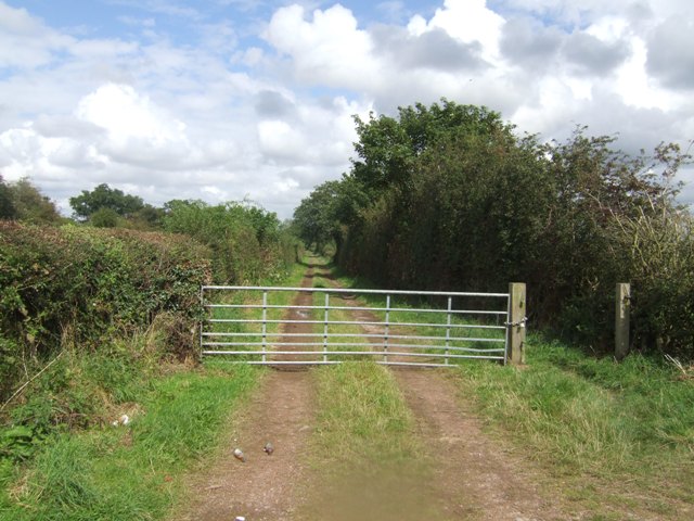
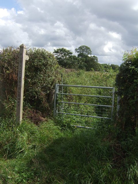
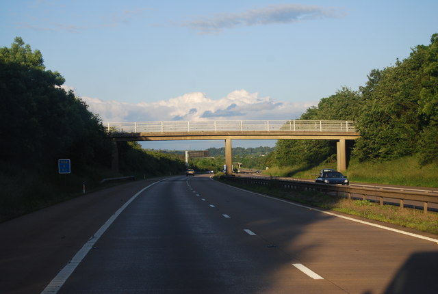
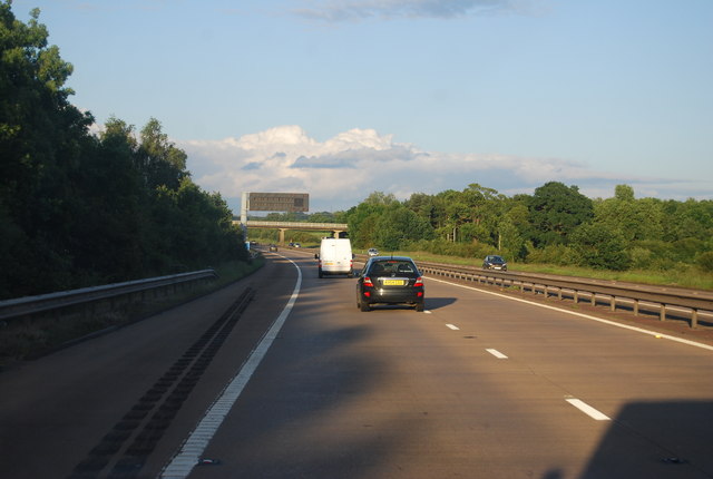
Coven Coppice Images

Images are sourced within 2km of 52.642582/-2.1433542 or Grid Reference SJ9004. Thanks to Geograph Open Source API. All images are credited.

River Penk - upstream at Pendeford Hall Lane
River Penk - downstream at Pendeford Hall Lane
Shropshire Union towpath near Lower Hattons Bridge The Monarch's Way follows the towpath south to Pendeford Bridge on its way from Boscobel to Moseley Old Hall.
Shropshire Union towpath near Lower Hattons Bridge
The Monarch's Way follows the towpath south to Pendeford Bridge on its way from Boscobel to Moseley Old Hall.
Walkers on the Monarchs Way Between Hunting Bridge and Port Lane.
Walkers on the Monarchs Way
Between Hunting Bridge and Port Lane.
Monarch's Way The path drops down from Port Lane to Hunting Bridge heading for Pendeford Mill.
Monarch's Way
The path drops down from Port Lane to Hunting Bridge heading for Pendeford Mill.
Shropshire Union Canal - View towards Park Bridge
Sunflowers in the field margin
Winding hole north of Lower Hattons Bridge On the Shropshire Union Canal.
Winding hole north of Lower Hattons Bridge
On the Shropshire Union Canal.
Farm lane by the Hattons Permissive footpath and bridleway.
Farm lane by the Hattons
Permissive footpath and bridleway.
Bridleway to Pendeford The overgrown path looked to be too much of a challenge without a machete.
Bridleway to Pendeford
The overgrown path looked to be too much of a challenge without a machete.
M54, farm access bridge The M54 is a 23 mile east-west motorway in Shropshire and Staffordshire. It is a two-lane dual carriageway for the majority of its length, with sections of three-lane.
The M54 spur connects the M6 motorway near Essington, Staffordshire with the A5 trunk road at Wellington, Shropshire. The motorway forms part of the route to North Wales, roughly following the path of the Roman Watling Street and the A5 north-westwards, towards the port of Holyhead.
M54, farm access bridge
The M54 is a 23 mile east-west motorway in Shropshire and Staffordshire. It is a two-lane dual carriageway for the majority of its length, with sections of three-lane. The M54 spur connects the M6 motorway near Essington, Staffordshire with the A5 trunk road at Wellington, Shropshire. The motorway forms part of the route to North Wales, roughly following the path of the Roman Watling Street and the A5 north-westwards, towards the port of Holyhead.
M54 near Ash Coppice The M54 is a 23 mile east-west motorway in Shropshire and Staffordshire. It is a two-lane dual carriageway for the majority of its length, with sections of three-lane.
The M54 spur connects the M6 motorway near Essington, Staffordshire with the A5 trunk road at Wellington, Shropshire. The motorway forms part of the route to North Wales, roughly following the path of the Roman Watling Street and the A5 north-westwards, towards the port of Holyhead.
M54 near Ash Coppice
The M54 is a 23 mile east-west motorway in Shropshire and Staffordshire. It is a two-lane dual carriageway for the majority of its length, with sections of three-lane. The M54 spur connects the M6 motorway near Essington, Staffordshire with the A5 trunk road at Wellington, Shropshire. The motorway forms part of the route to North Wales, roughly following the path of the Roman Watling Street and the A5 north-westwards, towards the port of Holyhead.
The Upper Hattons 'wide' A particularly wide section of the Shroppy canal, just north of the Upper Hattons bridge.
The Upper Hattons 'wide'
A particularly wide section of the Shroppy canal, just north of the Upper Hattons bridge.
A nice new milepost A cast iron milepost on the Shroppy; the date of 2005 on the lower plate rather suggests it's a recent addition to the towpath furniture. It does however match many of the originals in style and size, <a href="https://www.geograph.org.uk/photo/3393178">SJ8710 : Milepost on the Shroppy</a> & <a href="https://www.geograph.org.uk/photo/3396030">SJ8611 : Another Shroppy milepost</a> being a bit further north. No doubt there are plenty of other examples nearby.
A nice new milepost
A cast iron milepost on the Shroppy; the date of 2005 on the lower plate rather suggests it's a recent addition to the towpath furniture. It does however match many of the originals in style and size, SJ8710 : Milepost on the Shroppy & SJ8611 : Another Shroppy milepost being a bit further north. No doubt there are plenty of other examples nearby.
Cruising under Upper Hattons bridge Despite the sunshine, it was a bitterly cold day in early April.
Cruising under Upper Hattons bridge
Despite the sunshine, it was a bitterly cold day in early April.
Upper Hattons Farm A large extension has been built on this side of the farmhouse in the last few years <a href="https://www.geograph.org.uk/photo/515348">SJ8804 : Upper Hattons</a>]
Upper Hattons Farm
A large extension has been built on this side of the farmhouse in the last few years SJ8804 : Upper Hattons]
Cottages on Pendeford Hall Lane Semi detached cottages on the lane from Gunstone to Fordhouses.
Cottages on Pendeford Hall Lane
Semi detached cottages on the lane from Gunstone to Fordhouses.
Bridleway towards Hunting Bridge
Show me another place!

Coven Coppice is located at Grid Ref: SJ9004 (Lat: 52.642582, Lng: -2.1433542)

Administrative County: Staffordshire

District: South Staffordshire

Police Authority: Staffordshire

What 3 Words

///stop.next.jeeps. Near Coven, Staffordshire

Related Wikis

Coven, Staffordshire

Coven is a village in the district of South Staffordshire, England, near to the border with Wolverhampton. Together with Brewood it forms part of the...

I54

i54 South Staffordshire is a 98-hectare (240-acre) UK technology-based business park located at Junction 2 on the M54 Motorway in the West Midlands, on...

Wolverhampton Casuals F.C.

Wolverhampton Casuals Football Club are a football club based in Featherstone, near Wolverhampton, England. Established in 1899, they are currently members...

Goodrich F.C.

Goodrich F.C. was a football club based in Wolverhampton, West Midlands, England. The team joined the West Midlands (Regional) League Division One North...

Fordhouses

Fordhouses is a suburb of Wolverhampton, West Midlands, England. It is situated to the north of the city centre, adjacent to the border with Staffordshire...

St Paul's Church, Coven

St Paul's Church, Coven is a Grade II listed parish church in the Church of England in Coven, Staffordshire == History == The church was built in 1857...

Brinsford Parkway railway station

Brinsford Parkway is a proposed mainline railway station to the north of Wolverhampton, England. It has yet to be passed and is still in planning stages...

HM Prison Oakwood

HM Prison Oakwood is a Category C prison in Featherstone, Staffordshire, England. First opened in April 2012, the prison is operated by G4S and was primed...

Nearby Amenities

Located within 500m of 52.642582,-2.1433542
Motorway Junction
Coven Heath Interchange
Exit To: Wolverhampton, Stafford A449
Ref: 2
Lat/Long: 52.6386473/-2.1463599
Barrier: yes
Lat/Long: 52.6415782/-2.1480682
Material: wood
Power: pole
Lat/Long: 52.6396903/-2.147155
Power: pole
Lat/Long: 52.6402437/-2.1454384
Power: pole
Lat/Long: 52.6408361/-2.142944
Power: pole
Lat/Long: 52.6403348/-2.1411522
Power: pole
Lat/Long: 52.6399051/-2.1395805
Power: pole
Lat/Long: 52.639521/-2.138116
The data included in this document is from www.openstreetmap.org. The data is made available under ODbL.

Have you been to Coven Coppice?

Leave your review of Coven Coppice below (or comments, questions and feedback).