Bilbrough
Civil Parish in Yorkshire Selby
England
Bilbrough
Bilbrough is a small civil parish located in the county of Yorkshire, England. Situated approximately 10 miles southwest of the historic city of York, it lies within the district of Selby. The parish covers an area of about 2.5 square miles and is home to a population of around 300 residents.
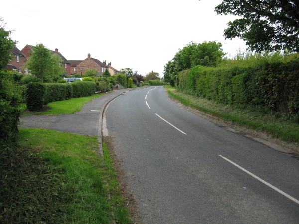
The village of Bilbrough is surrounded by picturesque countryside, with rolling hills and farmland dominating the landscape. The area is known for its tranquil and idyllic setting, making it a popular destination for those seeking a peaceful retreat from the bustling city life.
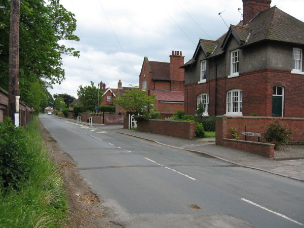
The village itself is characterized by its charming rural architecture, with traditional stone buildings and thatched roofs lining the streets. The parish also features a small church, St. James the Great, which dates back to the 12th century. This historic place of worship serves as a focal point for the local community and is a testament to the area's rich heritage.
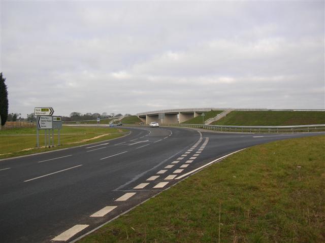
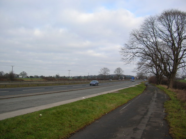
Bilbrough benefits from its proximity to major transportation routes, including the A64 road, which provides easy access to nearby towns and cities. This allows residents to enjoy the tranquility of village life while still having convenient connections to urban centers.
Although small in size, Bilbrough offers a range of amenities and services to its residents, including a village hall and a local pub. Additionally, the surrounding countryside provides ample opportunities for outdoor activities such as walking, cycling, and horse riding.
Overall, Bilbrough is a charming and peaceful civil parish that offers a rural escape with easy access to larger towns and cities. Its rich history, stunning countryside, and close-knit community make it an attractive place to live or visit in Yorkshire.
If you have any feedback on the listing, please let us know in the comments section below.
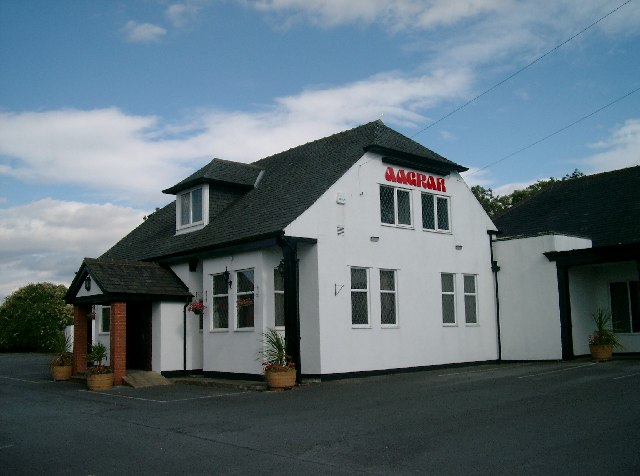
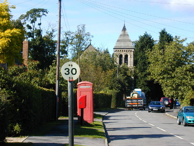
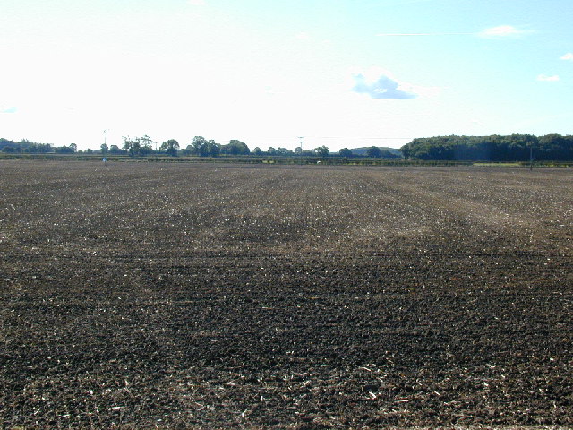
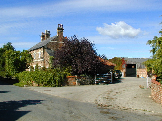
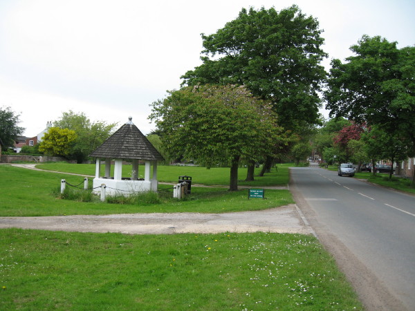
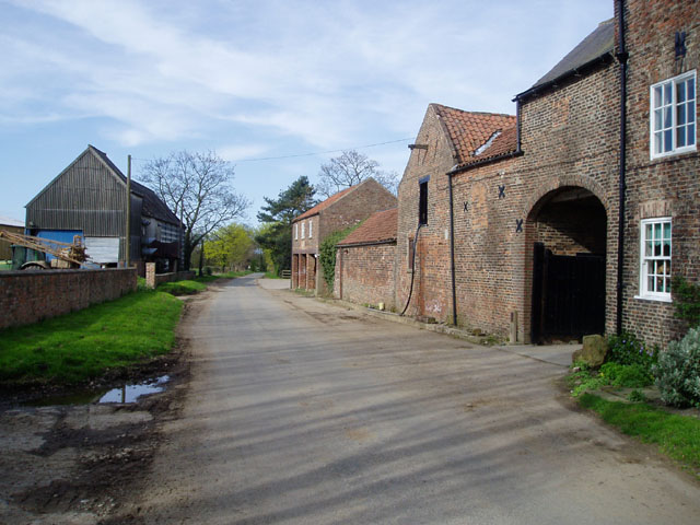
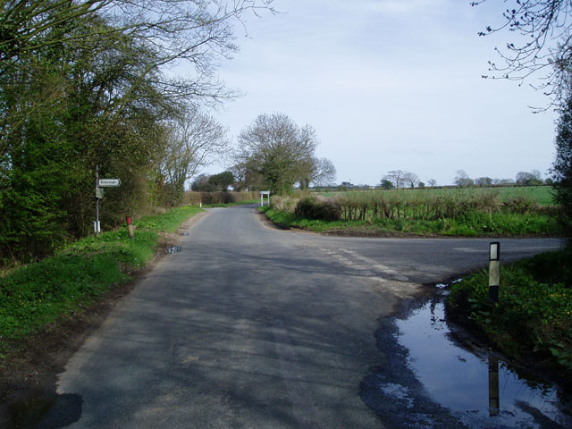
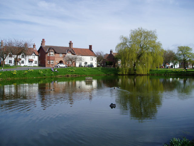
Bilbrough Images
Images are sourced within 2km of 53.913372/-1.200642 or Grid Reference SE5246. Thanks to Geograph Open Source API. All images are credited.


Bilbrough is located at Grid Ref: SE5246 (Lat: 53.913372, Lng: -1.200642)
Division: West Riding
Administrative County: North Yorkshire
District: Selby
Police Authority: North Yorkshire
What 3 Words
///vote.reheat.meaty. Near Askham Richard, North Yorkshire
Nearby Locations
Related Wikis

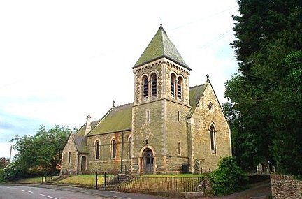
St James' Church, Bilbrough
St James' Church is the parish church of Bilbrough, a village between York and Tadcaster in North Yorkshire, in England. A church was built on the site...

Bilbrough
Bilbrough () is a village and civil parish in the Selby District of North Yorkshire, England, 6 miles (10 km) south-west of York, and just outside the...

Askham Richard
Askham Richard is a village and civil parish in the unitary authority of City of York in the north of England, 6.5 miles (10.5 km) south-west of York,...

St Mary's Church, Askham Richard
St Mary's Church is the parish church of Askham Richard, a village in the western, rural, part of the City of York in England. The oldest part of the church...

HM Prison Askham Grange
HM Prison Askham Grange is a women's open category prison, located in Askham Richard village in North Yorkshire, England. The prison is run by His Majesty...

Catterton
Catterton is a hamlet and civil parish in the Selby district of North Yorkshire, England. At the 2011 Census the population was less than 100. The population...

Angram, Harrogate
Angram is a village in the civil parish of Long Marston, near Bilbrough, in North Yorkshire, England. Angram was historically a township in the ancient...

Boroughbridge High School
Boroughbridge High School is a mixed, nonselective, state secondary school in Boroughbridge, North Yorkshire, England. The school was awarded arts specialist...
Related Videos
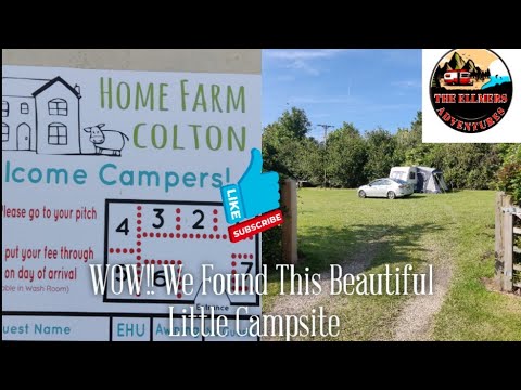
Caravan Camping With Family At the Beautiful Home Farm Campsite Near York UK
caravan #caravancamping #caravaning #caravanlife #camping #ridgemonkey #scenery #family #familyvlog #campsite Hello and ...
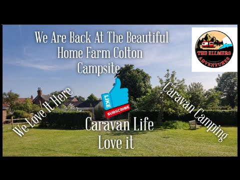
We are back Camping at the Beautiful Home Farm Campsite in Colton Yorkshire UK
caravan #caravancamping #caravaning #caravanlife #camping #ridgemonkey #scenery #family #familyvlog #campsite #cooking ...

Camping In The Caravan At Home Farm Colton Campsite Last Day
caravan #caravancamping #caravaning #caravanlife #camping #ridgemonkey #scenery #family #familyvlog #campsite #cooking ...

RidgeMonkey Cooking, Caravan failure in the Heat, Our Last Camp With the caravan for now.!!!!!
caravan #caravancamping #caravaning #caravanlife #camping #ridgemonkey #family #familyvlog #campsite #cooking Hello and ...
Nearby Amenities
Located within 500m of 53.913372,-1.200642Have you been to Bilbrough?
Leave your review of Bilbrough below (or comments, questions and feedback).