Bignor
Civil Parish in Sussex Chichester
England
Bignor
Bignor is a small civil parish located in the district of Chichester, West Sussex, England. Situated approximately 15 miles northwest of the city of Chichester, Bignor covers an area of around 4 square miles and is home to a population of about 100 residents.
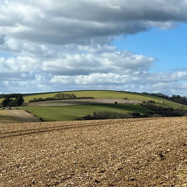
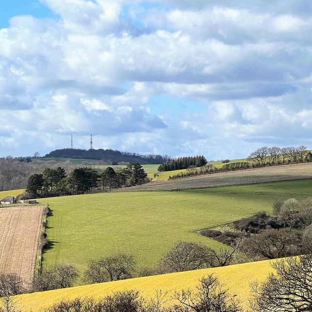
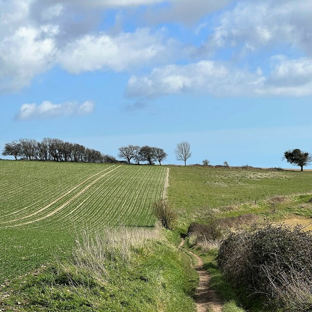
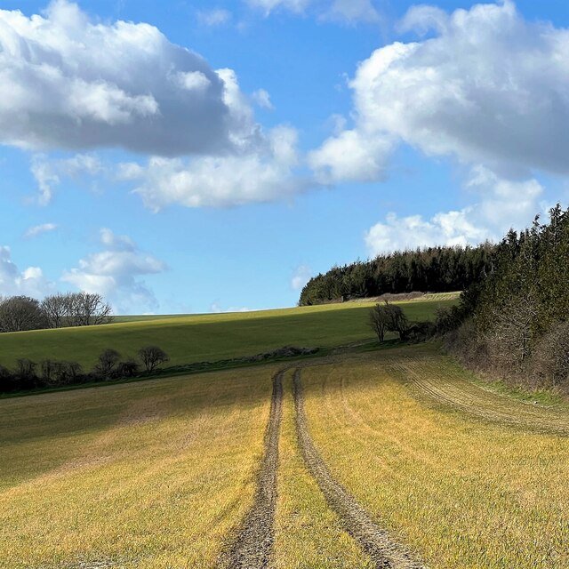
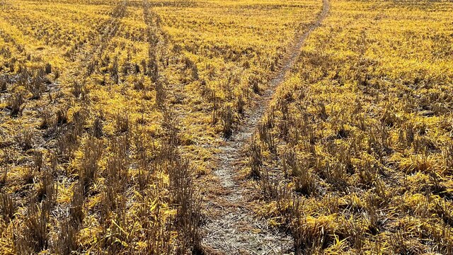
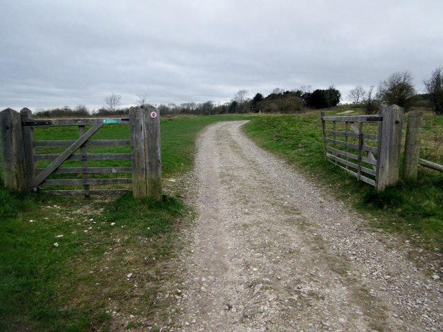
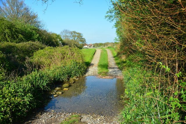
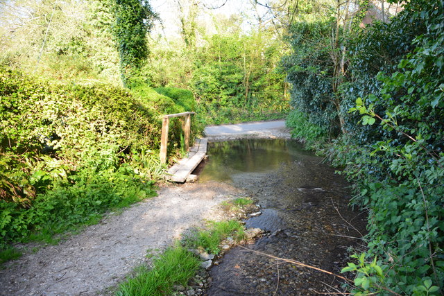
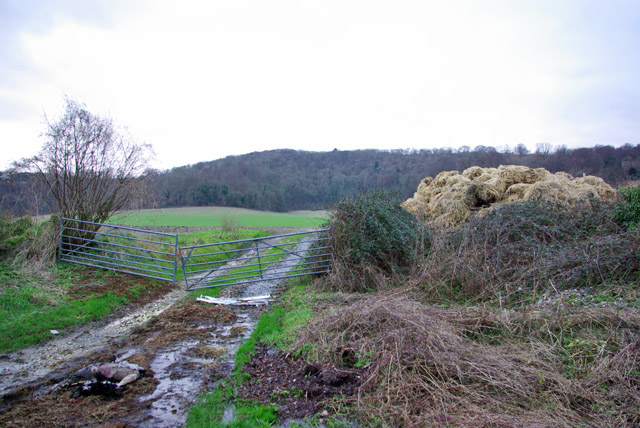
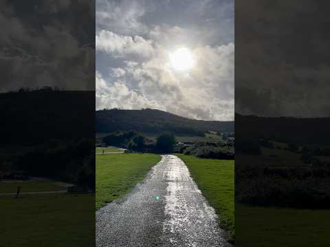
The village of Bignor is known for its picturesque rural setting, surrounded by the rolling South Downs National Park. The area is characterized by its beautiful countryside, consisting of farmland, woodlands, and meadows. Bignor is renowned for its natural beauty, attracting visitors who enjoy hiking, walking, and exploring the great outdoors.
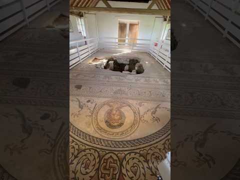
One of the main attractions in Bignor is the Bignor Roman Villa, an ancient Roman villa complex that dates back to the 3rd century AD. This archaeological site is considered one of the best-preserved Roman villas in Britain and showcases intricate mosaic floors, hypocaust systems, and other remnants of Roman architecture and lifestyle.
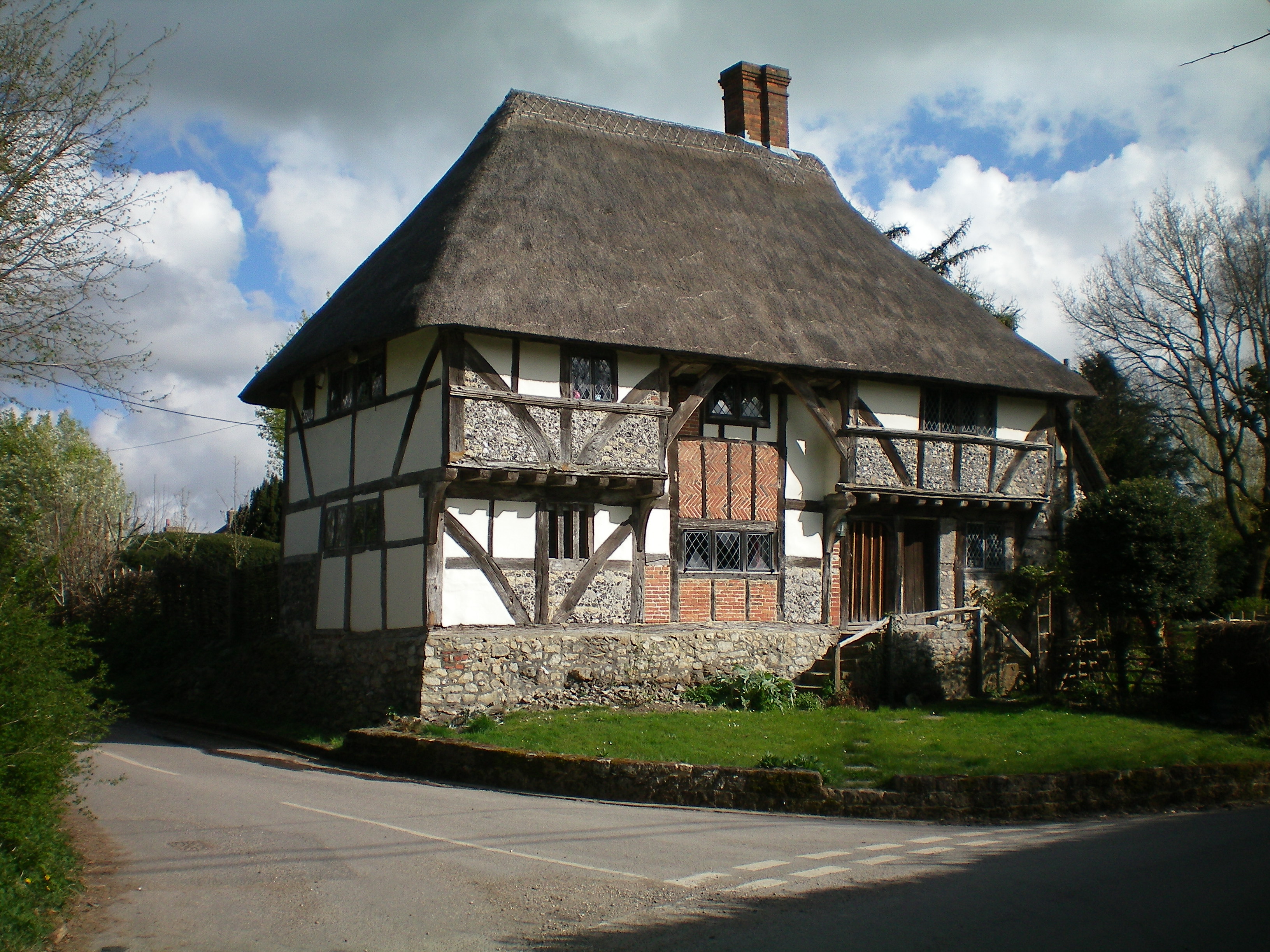
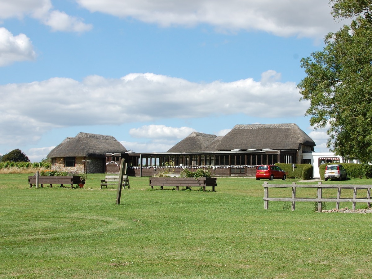
The village itself is small and quaint, with a few residential properties, a church, and a village hall. Bignor is a tight-knit community, with residents taking pride in their rural surroundings and actively participating in local events and initiatives.
Overall, Bignor offers a tranquil and idyllic lifestyle, with its stunning natural scenery and rich historical heritage. It is a place where residents and visitors can immerse themselves in the beauty of the Sussex countryside and connect with the area's rich Roman history.
If you have any feedback on the listing, please let us know in the comments section below.
Bignor Images
Images are sourced within 2km of 50.910302/-0.609963 or Grid Reference SU9713. Thanks to Geograph Open Source API. All images are credited.


Bignor is located at Grid Ref: SU9713 (Lat: 50.910302, Lng: -0.609963)
Administrative County: West Sussex
District: Chichester
Police Authority: Sussex
What 3 Words
///point.hood.bandaged. Near Fontwell, West Sussex
Nearby Locations
Related Wikis

Bignor Hill
Bignor Hill is a hill near Bignor in Sussex. The South Downs Way passes over the hill. Near the summit are the remains of a memorial to Toby Wentworth...

Barkhale Camp
Barkhale Camp is a Neolithic causewayed enclosure, an archaeological site on Bignor Hill, on the South Downs in West Sussex, England. Causewayed enclosures...

Duncton to Bignor Escarpment
Duncton to Bignor Escarpment is a 229-hectare (570-acre) biological Site of Special Scientific Interest west of Pulborough in West Sussex. It is a Special...
Bignor
Bignor is a village and civil parish in the Chichester district of the English county of West Sussex, about six miles (9.7 km) north of Arundel. It is...
Bignor Roman Villa
Bignor Roman Villa is a large Roman courtyard villa which has been excavated and put on public display on the Bignor estate in the English county of West...

Sutton, West Sussex
Sutton is a village and civil parish in the District of Chichester in West Sussex, England, located six kilometres (4 miles) south of Petworth and east...
Bury Hill, Arundel
Bury Hill is an area of West Sussex, England, north of Arundel and southwest of Bury. In the 18th century, its name may have sometimes been spelled Berry...

West Burton, West Sussex
West Burton is a small hamlet in the Parish of Bury and the Chichester district of West Sussex, England. It lies between Bignor and Bury on the Lower Greensand...
Related Videos
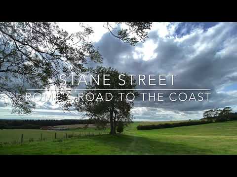
Walking Stane Street roman road
The roman road of Stane Street runs from London to Chichester on England's south coast and formed a major route in Roman ...
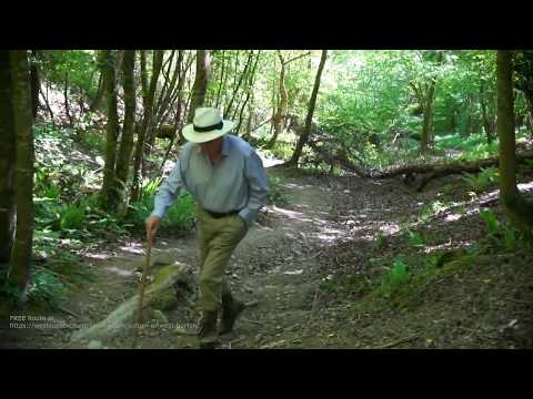
Sutton to West Burton
Sutton to West Burton CAUTION, this walking route will guide you through an area of extreme natural beauty, bring your camera.
Nearby Amenities
Located within 500m of 50.910302,-0.609963Have you been to Bignor?
Leave your review of Bignor below (or comments, questions and feedback).