Berkswell

Civil Parish in Warwickshire Solihull

England

Berkswell

Back Lane An appropriate name for this minor approach road to Coventry. Crossroads at Four Oaks.
Back Lane Credit: Alan Hughes

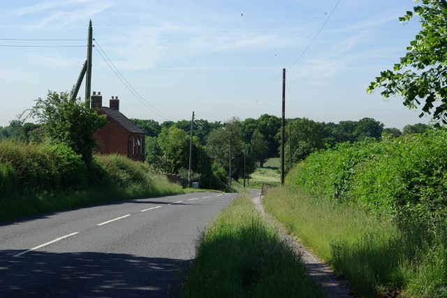
Berkswell is a civil parish located in the county of Warwickshire, England. Situated approximately 10 miles southeast of Coventry, the parish covers an area of around 5 square miles. It is a rural area that encompasses the village of Berkswell and its surrounding countryside.

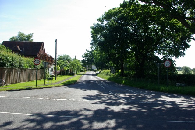
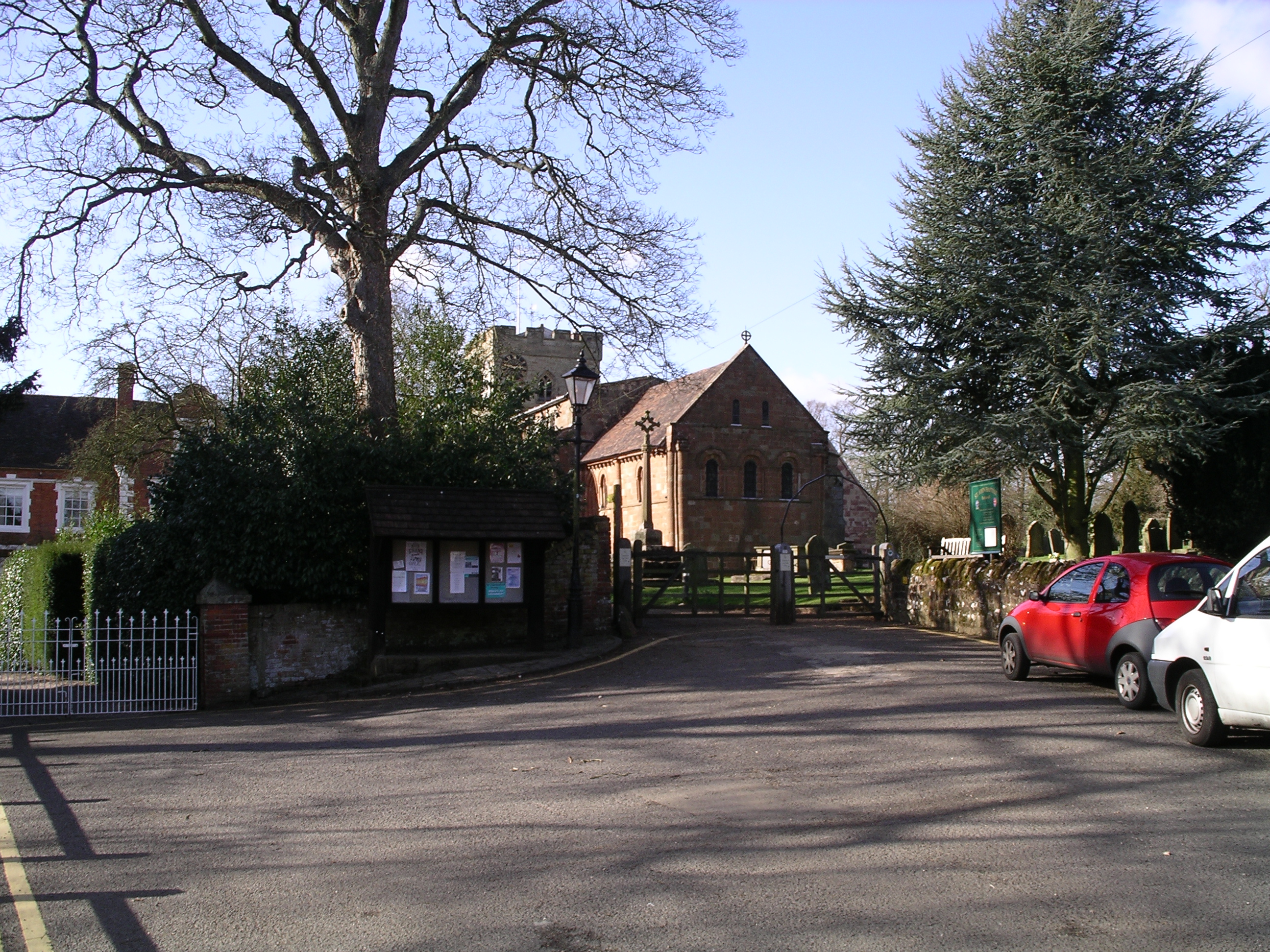
The village of Berkswell is known for its picturesque setting and historic charm. It is home to a medieval church, St. John Baptist Church, which dates back to the 12th century and is a prominent landmark in the area. The village also features a number of traditional thatched cottages and historic buildings, including the Grade II listed Berkswell Hall.

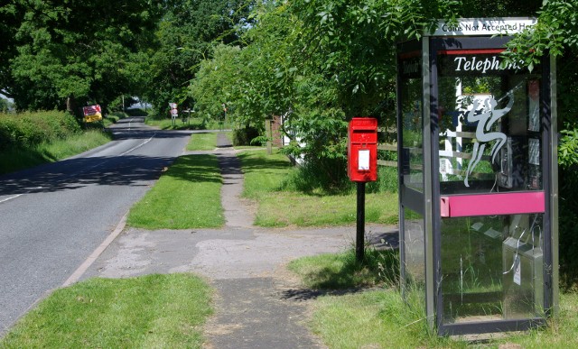
In terms of amenities, Berkswell offers a range of facilities to its residents and visitors. These include a primary school, a village hall, a post office, and a pub. The village is well-connected to nearby towns and cities, with regular bus services providing transport links. Additionally, the nearby Berkswell railway station provides further accessibility to the area.

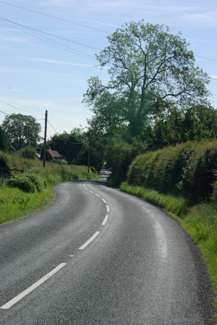
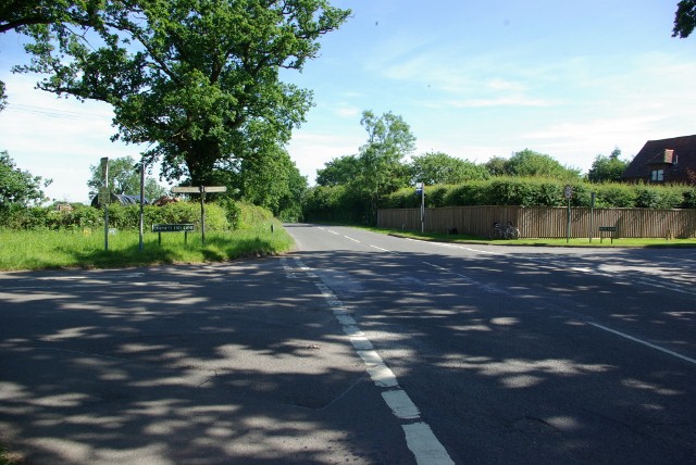
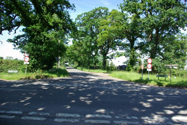
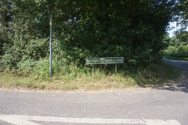
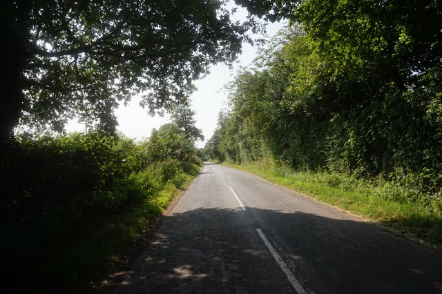
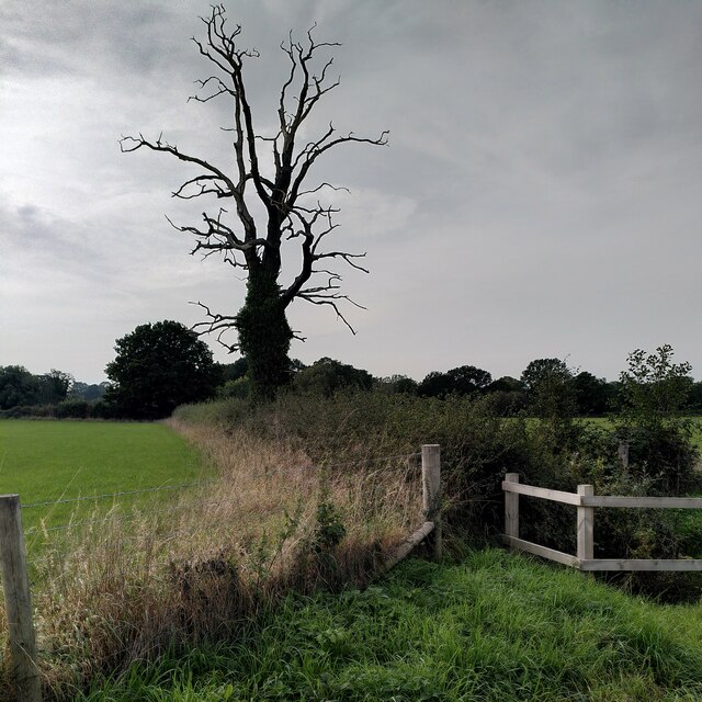
The surrounding countryside of Berkswell is characterized by its rolling hills and open fields, making it a popular destination for outdoor activities such as hiking and cycling. There are also several nature reserves and parks in the vicinity, providing opportunities for wildlife spotting and nature walks.

Overall, Berkswell offers a tranquil and idyllic setting, combining historic charm with modern amenities, making it an attractive place to live or visit in Warwickshire.

If you have any feedback on the listing, please let us know in the comments section below.
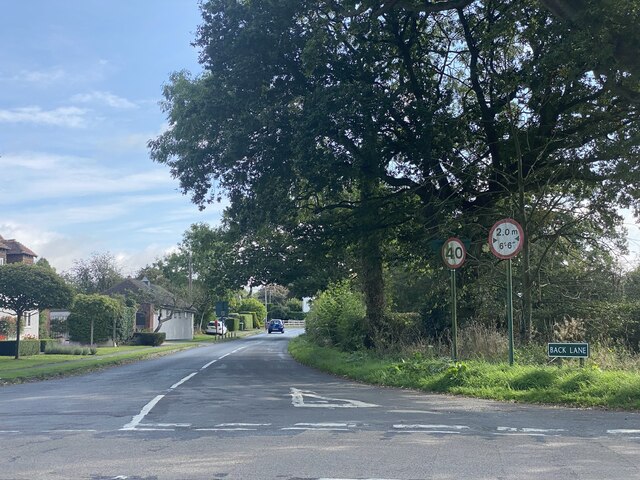
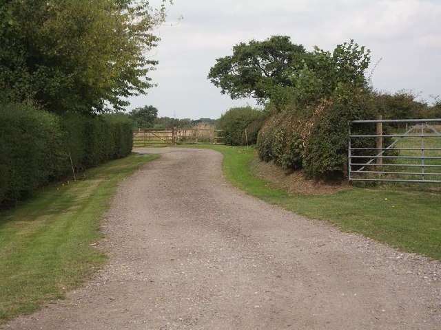
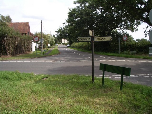
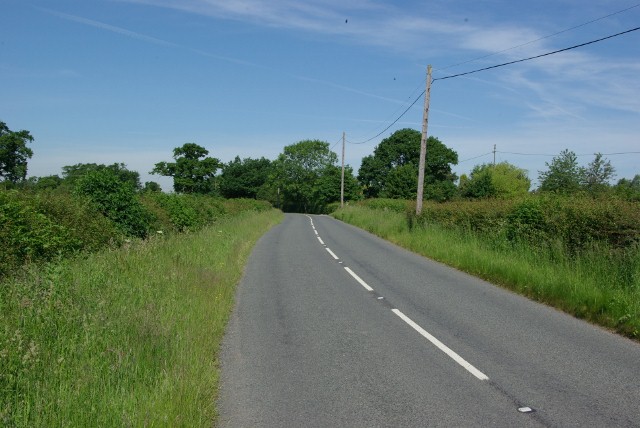
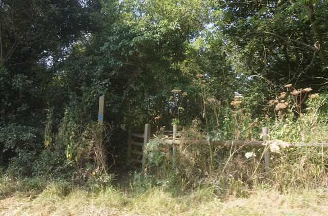
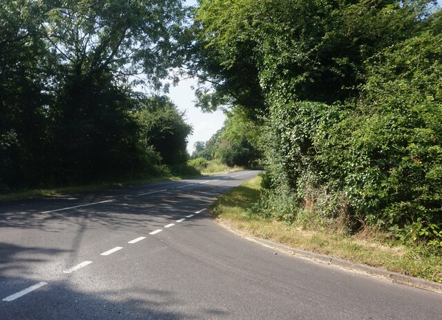
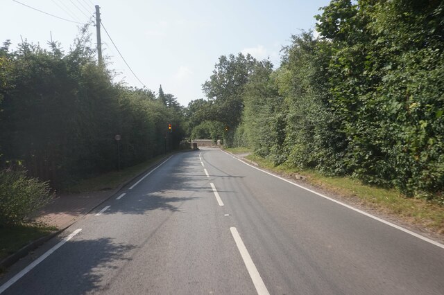
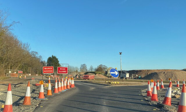
Berkswell Images

Images are sourced within 2km of 52.405404/-1.6368 or Grid Reference SP2478. Thanks to Geograph Open Source API. All images are credited.

Back Lane An appropriate name for this minor approach road to Coventry. Crossroads at Four Oaks.
Back Lane
An appropriate name for this minor approach road to Coventry. Crossroads at Four Oaks.
The Heart of England Way At this point the Heart of England Way <span class="nowrap"><a title="http://www.heartofenglandway.org" rel="nofollow ugc noopener" href="http://www.heartofenglandway.org">Link</a><img style="margin-left:2px;" alt="External link" title="External link - shift click to open in new window" src="https://s1.geograph.org.uk/img/external.png" width="10" height="10"/></span> runs along the drive to a house (signed 'The Byres'), north from Back Lane near the middle of this square.  The rest of the square comprises fields, Back Lane and a few houses along the lane.  Meriden transmitter is just visible in the distance.
The Heart of England Way
At this point the Heart of England Way LinkExternal link runs along the drive to a house (signed 'The Byres'), north from Back Lane near the middle of this square. The rest of the square comprises fields, Back Lane and a few houses along the lane. Meriden transmitter is just visible in the distance.
The crossroads at Four Oaks The junction of Berkswell Road, Meriden Road, Cornets End Lane and Back Lane looking east up Back Lane.  The majority of Four Oaks village is visible in this photo.
The crossroads at Four Oaks
The junction of Berkswell Road, Meriden Road, Cornets End Lane and Back Lane looking east up Back Lane. The majority of Four Oaks village is visible in this photo.
West along Back Lane
East along Back Lane
The crossroads at Four Oaks
The road south from the crossroads at Four Oaks
The road east from the crossroads at Four Oaks
The road north from the crossroads at Four Oaks
The road west from the crossroads at Four Oaks
Benton Green Lane off Coventry Road
Benton Green Lane towards Benton Green
Public right of way off Benton Green Lane
Tanner's Lane from Benton Green Lane
Nailcote Lane towards Balsall Common
HS2 works, Solihull district, February 2022 The eastbound A452 Kenilworth Road approaches two new junctions. The first is with a private drive soon followed by a new roundabout at the junction with Park Lane, which leads to Berkswell village. HS2 will run parallel to A452 here.
HS2 works, Solihull district, February 2022
The eastbound A452 Kenilworth Road approaches two new junctions. The first is with a private drive soon followed by a new roundabout at the junction with Park Lane, which leads to Berkswell village. HS2 will run parallel to A452 here.
HS2 works, Solihull district, February 2022 This is the remodelled junction of Park Lane with A452 seen from the latter. HS2 will pass in a cutting beyond these works. The Park Lane route to Berkswell village will be stopped up to serve just one property <a href="https://www.geograph.org.uk/photo/1187139">SP2378 : West along Park Lane</a>. Berkswell will continue to be reached from Balsall Common via Lavender Hall Lane.
HS2 works, Solihull district, February 2022
This is the remodelled junction of Park Lane with A452 seen from the latter. HS2 will pass in a cutting beyond these works. The Park Lane route to Berkswell village will be stopped up to serve just one property SP2378 : West along Park Lane. Berkswell will continue to be reached from Balsall Common via Lavender Hall Lane.
Blasted tree by the rerouted Kenilworth Greenway This dead tree is a striking landmark for a rather bleak area, dominated by HS2 high speed railway construction (behind the photographer), with the rerouted Kenilworth Greenway running alongside.
Blasted tree by the rerouted Kenilworth Greenway
This dead tree is a striking landmark for a rather bleak area, dominated by HS2 high speed railway construction (behind the photographer), with the rerouted Kenilworth Greenway running alongside.
Show me another place!

Berkswell is located at Grid Ref: SP2478 (Lat: 52.405404, Lng: -1.6368)

Administrative County: West Midlands

District: Solihull

Police Authority: West Midlands

What 3 Words

///expert.plans.elbow. Near Berkswell, West Midlands

Nearby Locations

Berkswell Ram Hall

Related Wikis

Berkswell

Berkswell ( BURK-swəl) is a village and civil parish in the Metropolitan Borough of Solihull, county of West Midlands, England. Historically in Warwickshire...

Berkswell Hall

Berkswell Hall is a 19th-century country house at Berkswell, formerly Warwickshire now West Midlands, now converted into residential apartments. It is...

Meriden Gap

The Meriden Gap is a mostly rural area in the West Midlands between Solihull and Coventry. It is a part of the wider West Midlands Green Belt, separating...

Berkswell railway station

Berkswell railway station ( BURK-swəl), in the West Midlands of England, takes its name from the nearby village of Berkswell although it is located on...

Balsall Common

Balsall Common is a large village in the Metropolitan Borough of Solihull, West Midlands, England. It is situated 5 miles (7.5 km) northwest of Kenilworth...

A452 road

The A452 is a road in England, which runs from Royal Leamington Spa, Warwickshire to Brownhills in the West Midlands. It is the major link to the M6 motorway...

Heart of England School

Heart of England School is a secondary school and sixth form with academy status located in Balsall Common in the West Midlands. The Headteacher, who started...

Berkswell Marsh

Berkswell Marsh is a 7.5 hectares (19 acres) biological site of Special Scientific Interest in the West Midlands, en. The site was notified in 1991 under...

Related Videos

English Winter Walk in 4K - Berkswell Village Walking Tour ❄️

English Winter Walk in 4K Today's walk was a little cold but what a lovely location, Berkswell village, is a small tucked away ...

The Millennium Way - Meriden to The Black Boy Pub

The section saw us walking with old friends from Dorset. We trekked 8.51 miles from Meriden to the Black Boy Pub in Knowle.

1 bedroom executive apartment in Balsall Common

A beautifully presented 1 bedroom apartment located in the village of Balsall Common. #toniexp #toniexpwarks #bespokeagent ...

Nearby Amenities

Located within 500m of 52.405404,-1.6368
Barrier: kissing_gate
Lat/Long: 52.4041292/-1.6397035
Barrier: kissing_gate
Lat/Long: 52.4070553/-1.6406322
Barrier: kissing_gate
Lat/Long: 52.402934/-1.6390032
Barrier: stile
Lat/Long: 52.4020289/-1.6383701
Barrier: kissing_gate
Lat/Long: 52.4028282/-1.6387976
Barrier: kissing_gate
Lat/Long: 52.408348/-1.6410928
Barrier: kissing_gate
Lat/Long: 52.4062148/-1.640327
Barrier: kissing_gate
Lat/Long: 52.4083588/-1.6315721
Public Bookcase
Booth: K6
Disused Amenity: telephone
Listed Status: Grade II
Man Made: telephone_box
Public Bookcase Type: phone_box
Source: survey
Lat/Long: 52.4092328/-1.6391467
Defibrillator
Defibrillator Location: Listed as inside Bear Inn
Emergency: defibrillator
Indoor: yes
Source Addr: Bear Inn, Spencers Lane, Coventry, CV7 7BB
Website: https://www.defibfinder.uk/
Lat/Long: 52.4095808/-1.6391573
Marker: aerial
Utility: oil
Lat/Long: 52.4025665/-1.6315107
Marker: post
Utility: oil
Lat/Long: 52.4027411/-1.6314606
The data included in this document is from www.openstreetmap.org. The data is made available under ODbL.

Have you been to Berkswell?

Leave your review of Berkswell below (or comments, questions and feedback).