Ram Hall
Heritage Site in Warwickshire Solihull
England
Ram Hall
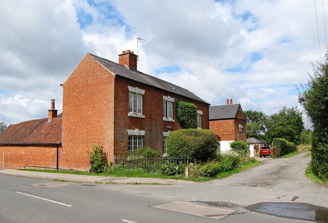
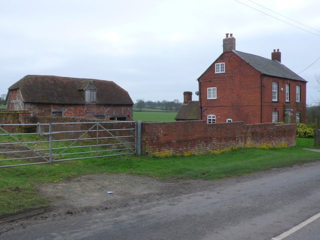
Ram Hall is a historic country house located in Warwickshire, England. Situated in the picturesque village of Claverdon, the building dates back to the 17th century and is recognized as a Grade II listed heritage site. The hall is renowned for its architectural grandeur and its significance in the local history of Warwickshire.
The house was originally constructed in the Jacobean style, with a symmetrical layout and red brick façade. It features a prominent central entrance with a decorative pediment and a stone portico. The interior of Ram Hall is equally impressive, boasting elegant panelled rooms, ornate plasterwork, and a magnificent staircase.
Throughout its history, Ram Hall has been associated with notable families and individuals. It was once home to the prestigious Willes family, who were prominent landowners and held important positions in the county. The hall also has connections to renowned architect Sir William Wilson, who made several alterations to the building in the 19th century.
Today, Ram Hall serves as a private residence and is not open to the public. However, its exterior can still be admired from afar, showcasing the rich heritage and architectural heritage of Warwickshire. The house stands in beautifully landscaped grounds, which include a formal garden and a charming courtyard.
Ram Hall is a cherished heritage site in Warwickshire, offering a glimpse into the region's past and the architectural prowess of its era. Its prominent position in Claverdon's landscape makes it a notable landmark and a treasured part of the local community.
If you have any feedback on the listing, please let us know in the comments section below.
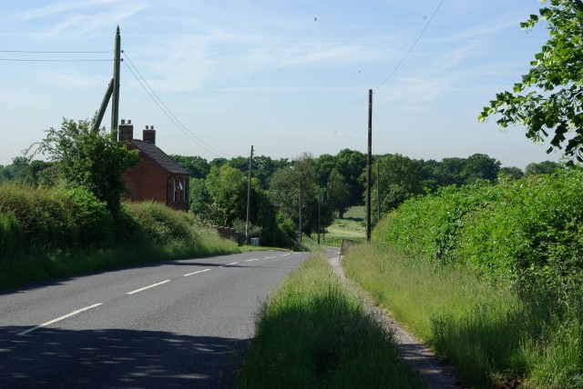
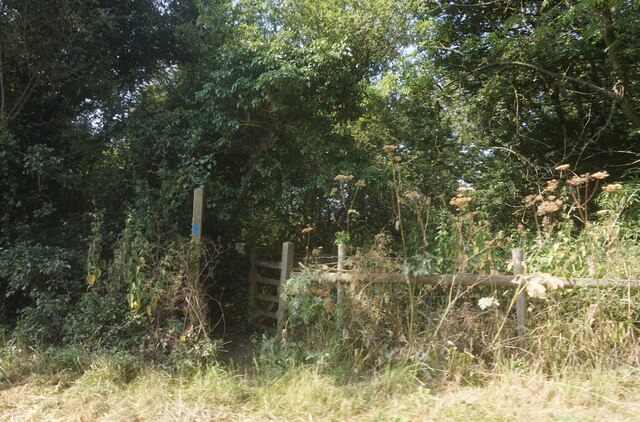
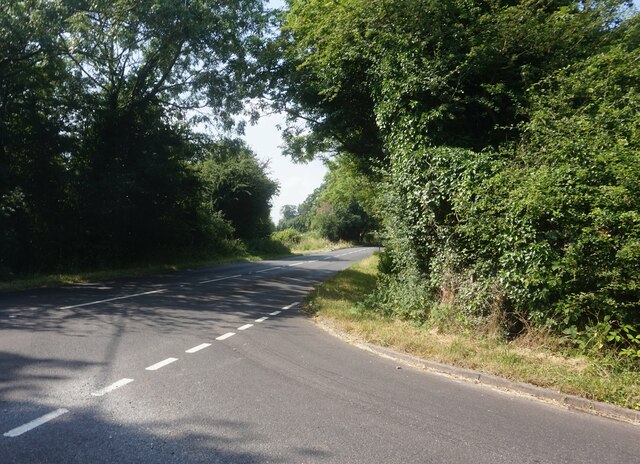
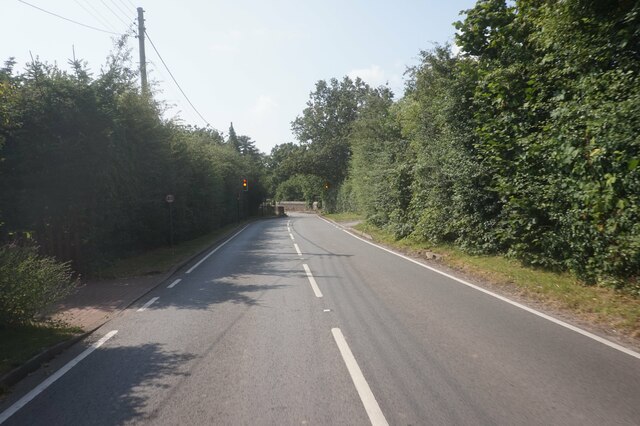
Ram Hall Images
Images are sourced within 2km of 52.403/-1.64 or Grid Reference SP2478. Thanks to Geograph Open Source API. All images are credited.

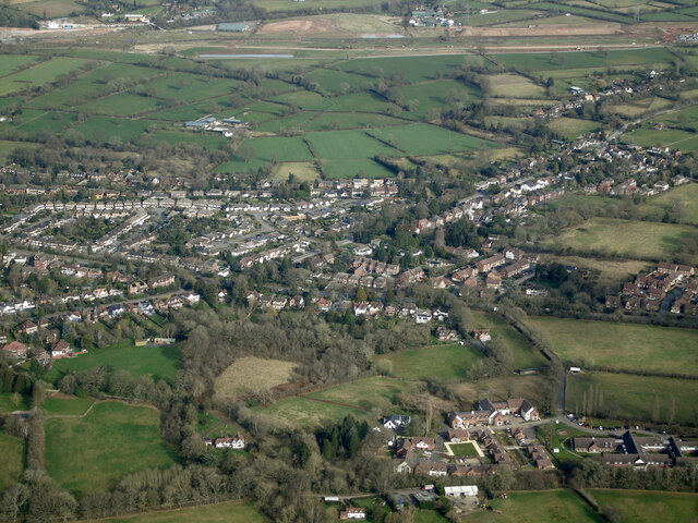

Ram Hall is located at Grid Ref: SP2478 (Lat: 52.403, Lng: -1.64)
Administrative County: West Midlands
District: Solihull
Police Authority: West Midlands
What 3 Words
///humans.garage.pint. Near Berkswell, West Midlands
Related Wikis
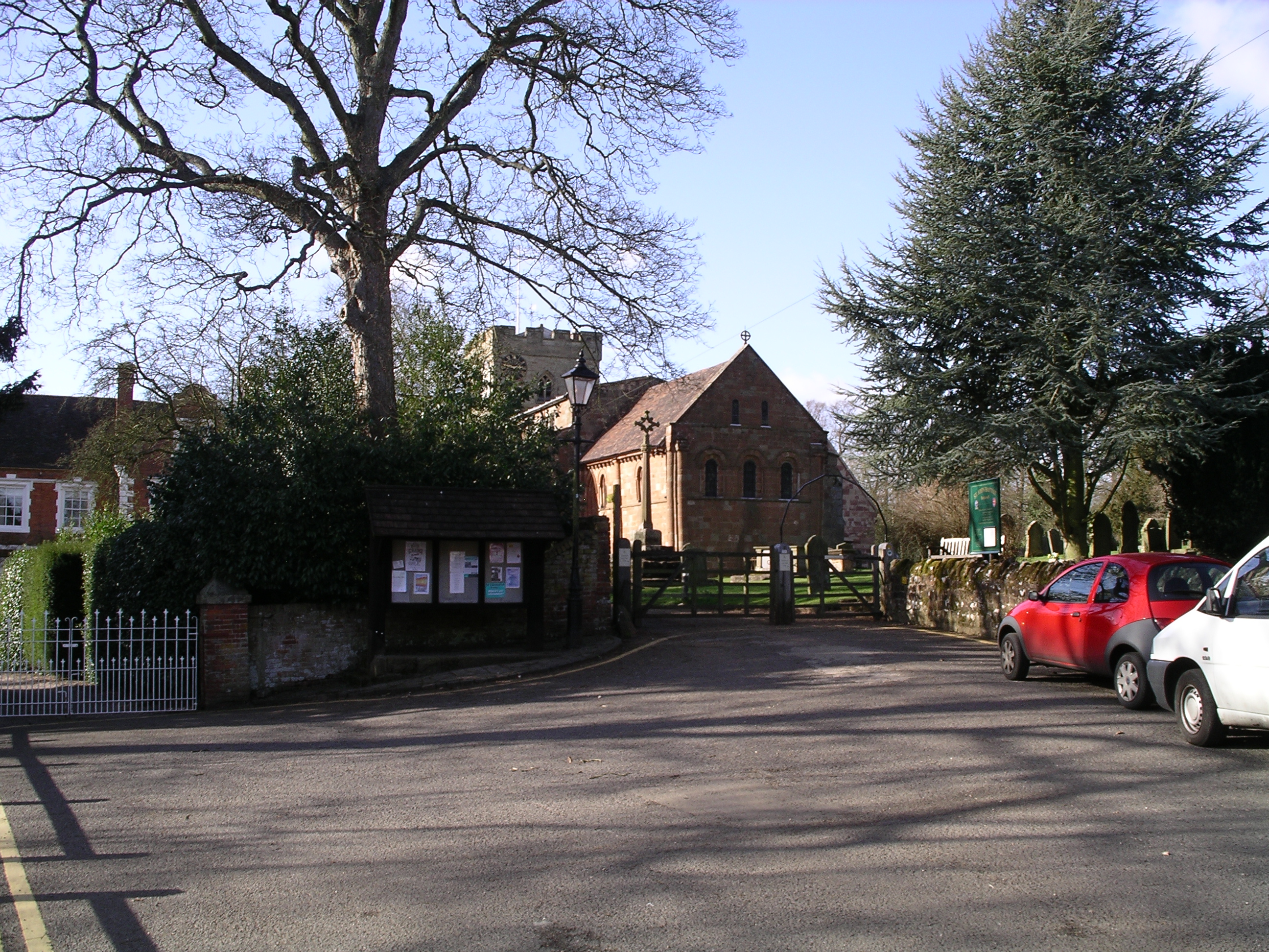
Berkswell
Berkswell ( BURK-swəl) is a village and civil parish in the Metropolitan Borough of Solihull, county of West Midlands, England. Historically in Warwickshire...

Meriden Gap
The Meriden Gap is a mostly rural area in the West Midlands between Solihull and Coventry. It is a part of the wider West Midlands Green Belt, separating...

Berkswell railway station
Berkswell railway station ( BURK-swəl), in the West Midlands of England, takes its name from the nearby village of Berkswell although it is located on...

Berkswell Hall
Berkswell Hall is a 19th-century country house at Berkswell, formerly Warwickshire now West Midlands, now converted into residential apartments. It is...

Balsall Common
Balsall Common is a large village in the Metropolitan Borough of Solihull, West Midlands, England. It is situated 5 miles (7.5 km) northwest of Kenilworth...

A452 road
The A452 is a road in England, which runs from Royal Leamington Spa, Warwickshire to Brownhills in the West Midlands. It is the major link to the M6 motorway...
Heart of England School
Heart of England School is a secondary school and sixth form with academy status located in Balsall Common in the West Midlands. The Headteacher, who started...
Berkswell Marsh
Berkswell Marsh is a 7.5 hectares (19 acres) biological site of Special Scientific Interest in the West Midlands, en. The site was notified in 1991 under...
Related Videos
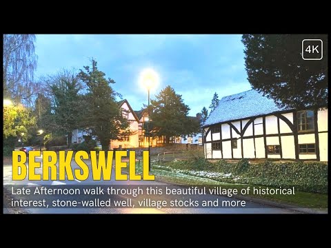
English Winter Walk in 4K - Berkswell Village Walking Tour ❄️
English Winter Walk in 4K Today's walk was a little cold but what a lovely location, Berkswell village, is a small tucked away ...

ATM: FARMFOODS BRITISH PAR 3 CHAMPIONSHIP#shortvideo #uk #golf #golfcourse
shortvideo #uk #travel.

FARMFOODS BRITTISH PAR3 COMPETITION 🏑⛳️🇬🇧#shortvideo #uk #travel
shortvideo #uk #travel #golf.

1 bedroom executive apartment in Balsall Common
A beautifully presented 1 bedroom apartment located in the village of Balsall Common. #toniexp #toniexpwarks #bespokeagent ...
Nearby Amenities
Located within 500m of 52.403,-1.64Have you been to Ram Hall?
Leave your review of Ram Hall below (or comments, questions and feedback).